Showing 10 of 317 records (filtered)
Applied filters: Country: Albania × Clear all filters
Page 1 of 32. next last »
Preview
Title
Abstract
Country
INSPIRE Theme
Publication Date
Responsible Party
Topic Categories
Keywords
Access Constraints
Actions
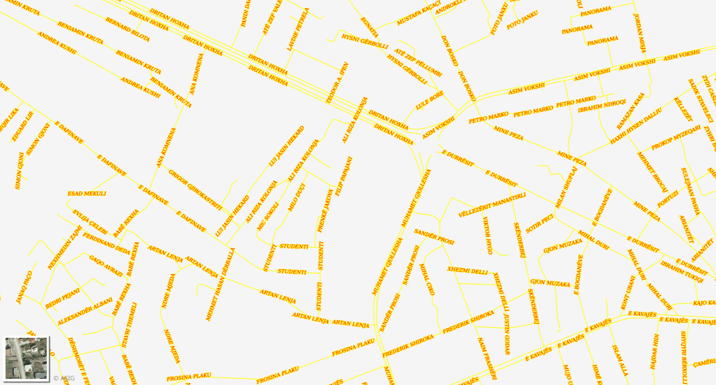
Graphic overview for Address System, Street
Address System, Street Identification and construction of the footprint of parts of public territory (PTP) (boulevard/road/alley/square/park) for the address system for the territory … Albania Oct. 20, 2014 General Directorate of Civil Status (DGCC) copyright
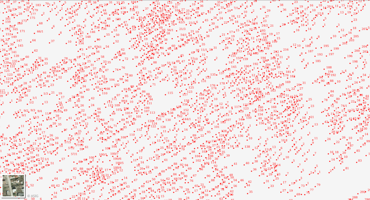
Graphic overview for Addressing System, Numbering
Addressing System, Numbering Numbering of objects for the address system for the territory of the Republic of Albania, referred to the aerial photography … Albania Not specified Oct. 20, 2014 General Directorate of Civil Status (DGCS) Not specified copyright
🖼️
Administrative Unit Boundaries Administrative Unit Boundaries of the Republic of Albania. The data are in accordance with the standard approved by the Council … Albania Not specified June 7, 2019 Local Self-Government Support Agency (LSGSA) Not specified copyright
🖼️
AKEP 2023 Electronic communications facilities used by electronic communications companies and used to house active transmission equipment and the electronic communications transmission … Albania Not specified Sept. 14, 2023 Electronic and Postal Communications Authority - AKEP Not specified copyright
🖼️
ALFIS, Forest Economy Frontier The “Forest Economy Boundary” is the basic unit of organization of the area of the national forest fund for forest … Albania Not specified May 14, 2026 National Forestry Agency (NFA) Not specified copyright
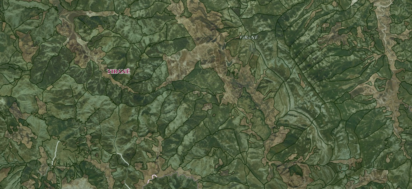
Graphic overview for ALFIS, Forest plot
ALFIS, Forest plot Forest parcel or “Plot” is the name of the forest area, with clear natural boundaries, which is created by dividing … Albania May 14, 2026 National Forestry Agency (NFA) copyright
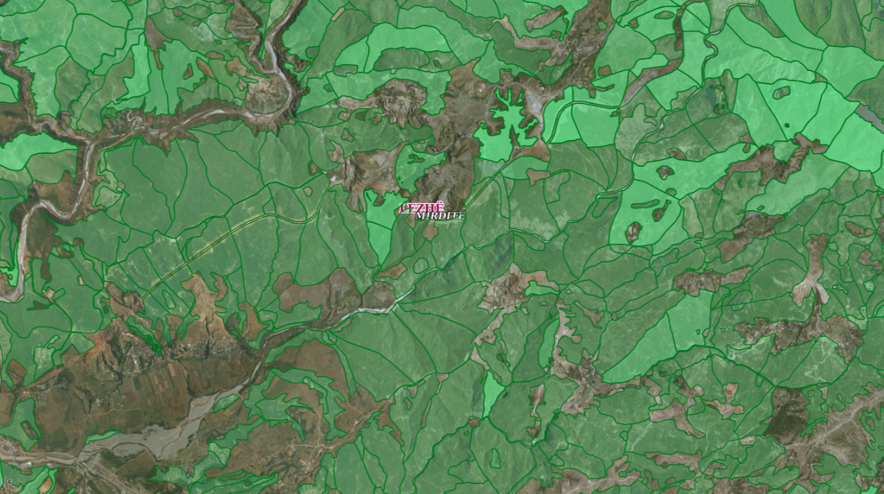
Graphic overview for ALFIS, Forest sub-plot
ALFIS, Forest sub-plot Sub-plot or “Sub-plot” is a surface unit with a minimum size of 0.5 ha, which serves for the assessment of … Albania May 14, 2026 National Forestry Agency (NFA) copyright
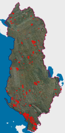
Graphic overview for Areas with natural hazards, Fires 2025
Areas with natural hazards, Fires 2025 Forest fires that have crossed the territory of the Republic of Albania during the period January-December 2025. The data are … Albania Not specified Feb. 2, 2026 National Civil Protection Agency (AKMC) Not specified copyright
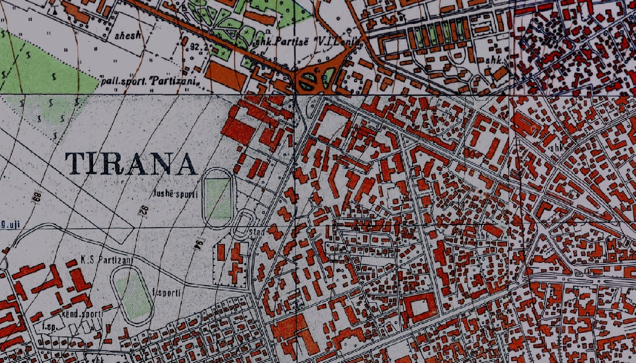
Graphic overview for Base Map, Topographic Map 1:10 000
Base Map, Topographic Map 1:10 000 Topographic map of scale 1:10000 in Image (raster) format created by the Institute of Geography and Military Infrastructure (former ITU). … Albania Jan. 1, 2015 Institute of Geography and Military Infrastructure (formerly ITU) otherRestrictions
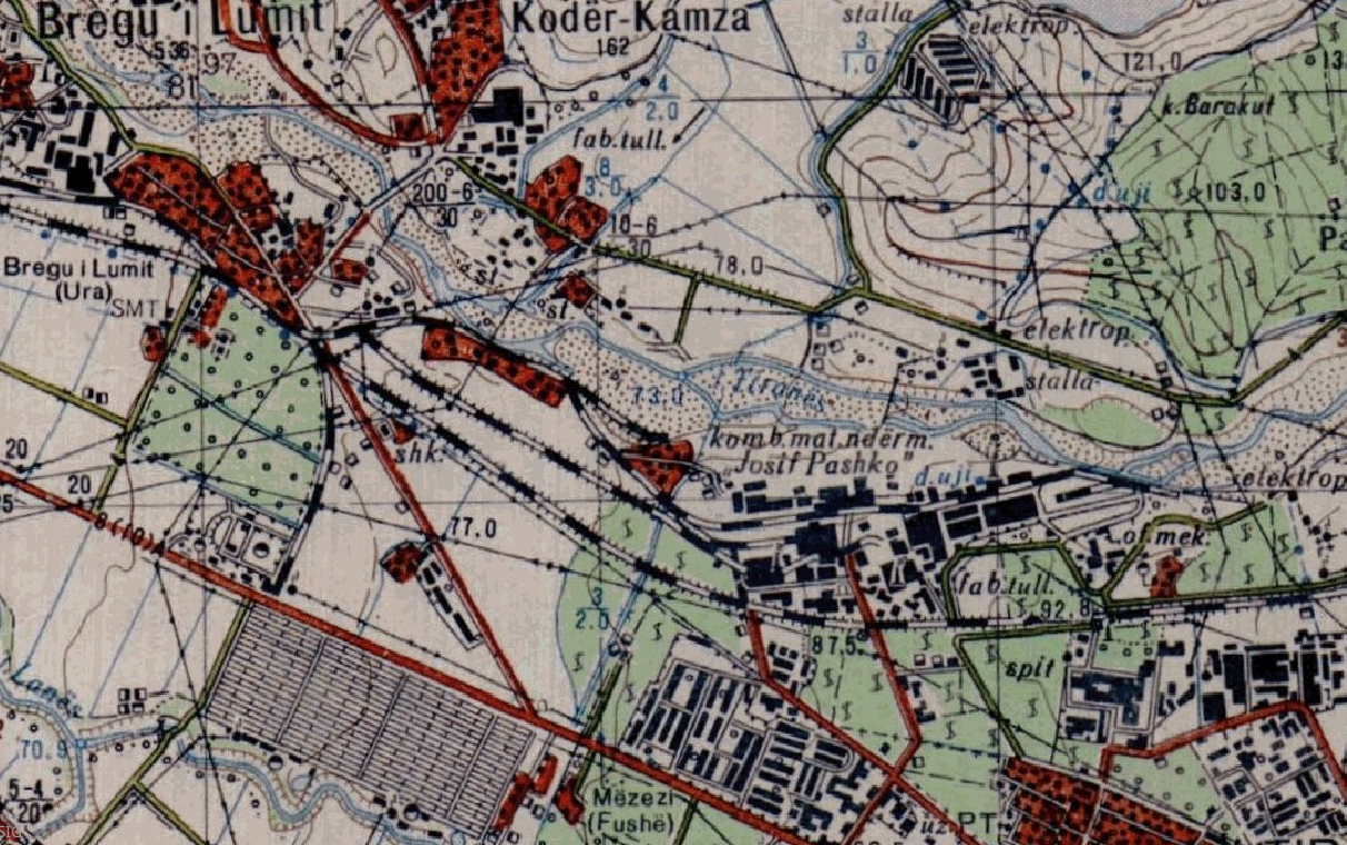
Graphic overview for Base Map, Topographic Map 1:25 000
Base Map, Topographic Map 1:25 000 Topographic maps of scale 1:25 000 were published by the Geographical Institute and Military Infrastructure (former ITU), in the years … Albania Jan. 1, 2015 Institute of Geography and Military Infrastructure (formerly ITU) otherRestrictions
Showing 10 of 317 records (filtered)
Page 1 of 32. next last »