Showing 10 of 10 records (filtered)
Applied filters: Country: Albania × Keywords: NO × INSPIRE Theme: GE: Geology × Clear all filters
Preview
Title
Abstract
Country
INSPIRE Theme
Publication Date
Responsible Party
Topic Categories
Keywords
Access Constraints
Actions
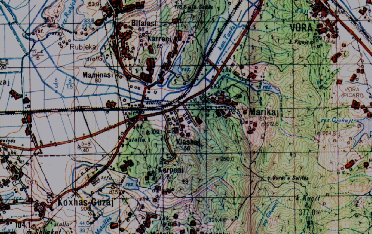
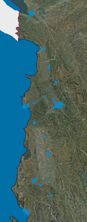
Graphic overview for Base Map, Topographic Map 1:50 000
Base Map, Topographic Map 1:50 000 Topographic maps of scale 1:50000 were published by the Institute of Geography and Military Infrastructure (formerly ITU), in the period … Albania Jan. 1, 2015 Institute of Geography and Military Infrastructure (formerly ITU) otherRestrictions
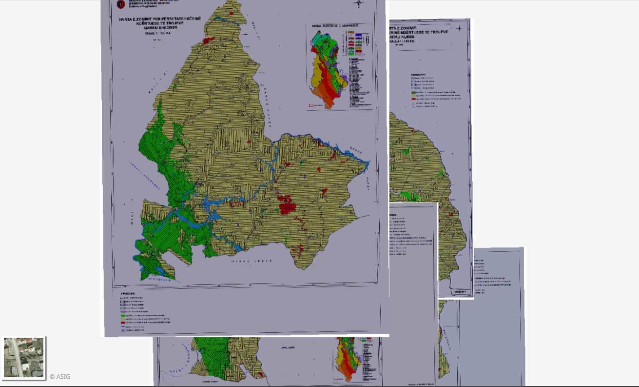
Graphic overview for Geological Zoning, Thematic Maps
Geological Zoning, Thematic Maps Zoning maps for the construction suitability of lands of 12 regions in the Republic of Albania constructed according to geological … Albania March 17, 2015 Albanian Geological Survey (AGS) copyright
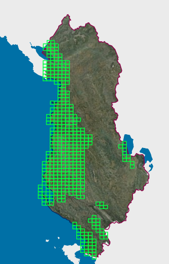
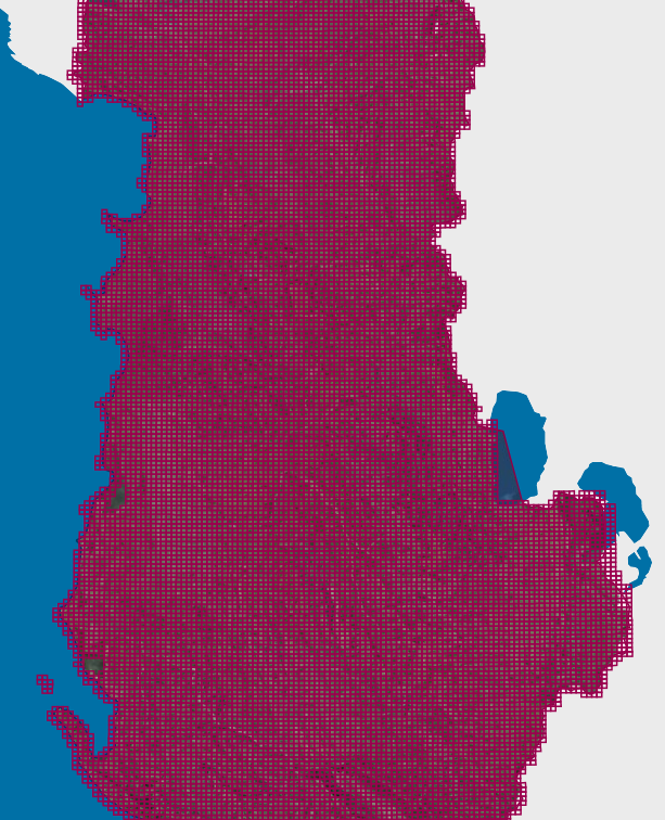
Graphic overview for Map Nomenclature 1:10000
Map Nomenclature 1:10000 These are the data created by the digitalization of the 1:10000 scale topographic map frame, which are scanned, georeferenced and … Albania Oct. 13, 2020 State Authority for Geospatial Information (ASIG) copyright
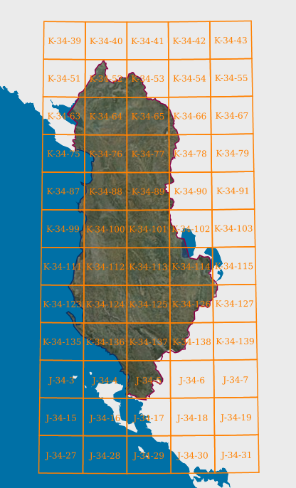
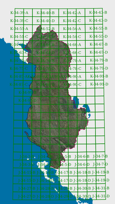
Graphic overview for Map Nomenclature 1:100000
Map Nomenclature 1:100000 These are the data generated by the digitalization of the 100,000 scale topographic map frame, which have been scanned, georeferenced … Albania Oct. 13, 2020 State Authority for Geospatial Information copyright
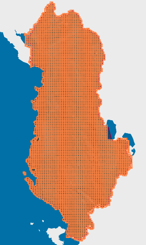
Graphic overview for Map Nomenclature 1:2500
Map Nomenclature 1:2500 These are the data created by the digitalization of the 2500 scale topographic map frame, which have been scanned, georeferenced … Albania Oct. 13, 2020 State Authority for Geospatial Information copyright
Graphic overview for Map Nomenclature 1:25000
Map Nomenclature 1:25000 These are the data generated by the digitalization of the 1:25000 scale topographic map frame, which have been scanned, georeferenced … Albania Oct. 13, 2020 State Authority for Geospatial Information copyright
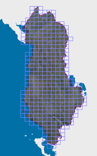
Graphic overview for Map Nomenclature 1:5000
Map Nomenclature 1:5000 These are the data generated by the digitalization of the 5000 scale topographic map frame, which have been scanned, georeferenced … Albania Oct. 13, 2020 State Authority for Geospatial Information copyright
Graphic overview for Map Nomenclature 1:50000
Map Nomenclature 1:50000 These are the data generated by the digitalization of the 50,000 scale topographic map frame, which have been scanned, georeferenced … Albania Oct. 13, 2020 State Authority for Geospatial Information copyright
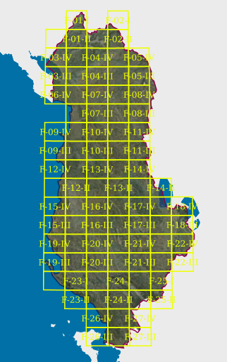
Graphic overview for Map Nomenclature 1:50000 (Italian)
Map Nomenclature 1:50000 (Italian) These are the data created by the digitization of the topographic map frame of scale 1:50000 (Italian), which are georeferenced … Albania April 14, 2022 State Authority for Geospatial Information copyright
Graphic overview for Nomenclature 1:500 Cities (AQTN)
Nomenclature 1:500 Cities (AQTN) The creation of the 1:500 nomenclature for the cities of Tirana, Durrës, Kavajë, Rrogozinë, Shijak, Krujë, Vorë, Shkodër, Lezhë, Laç, … Albania Feb. 15, 2022 State Authority for Geospatial Information copyright
Showing 10 of 10 records (filtered)