Showing 10 of 82 records (filtered)
Applied filters: Country: Albania × INSPIRE Theme: GE: Geology × Clear all filters
Page 1 of 8. next last »
Preview
Title
Abstract
Country
INSPIRE Theme
Publication Date
Responsible Party
Topic Categories
Keywords
Access Constraints
Actions
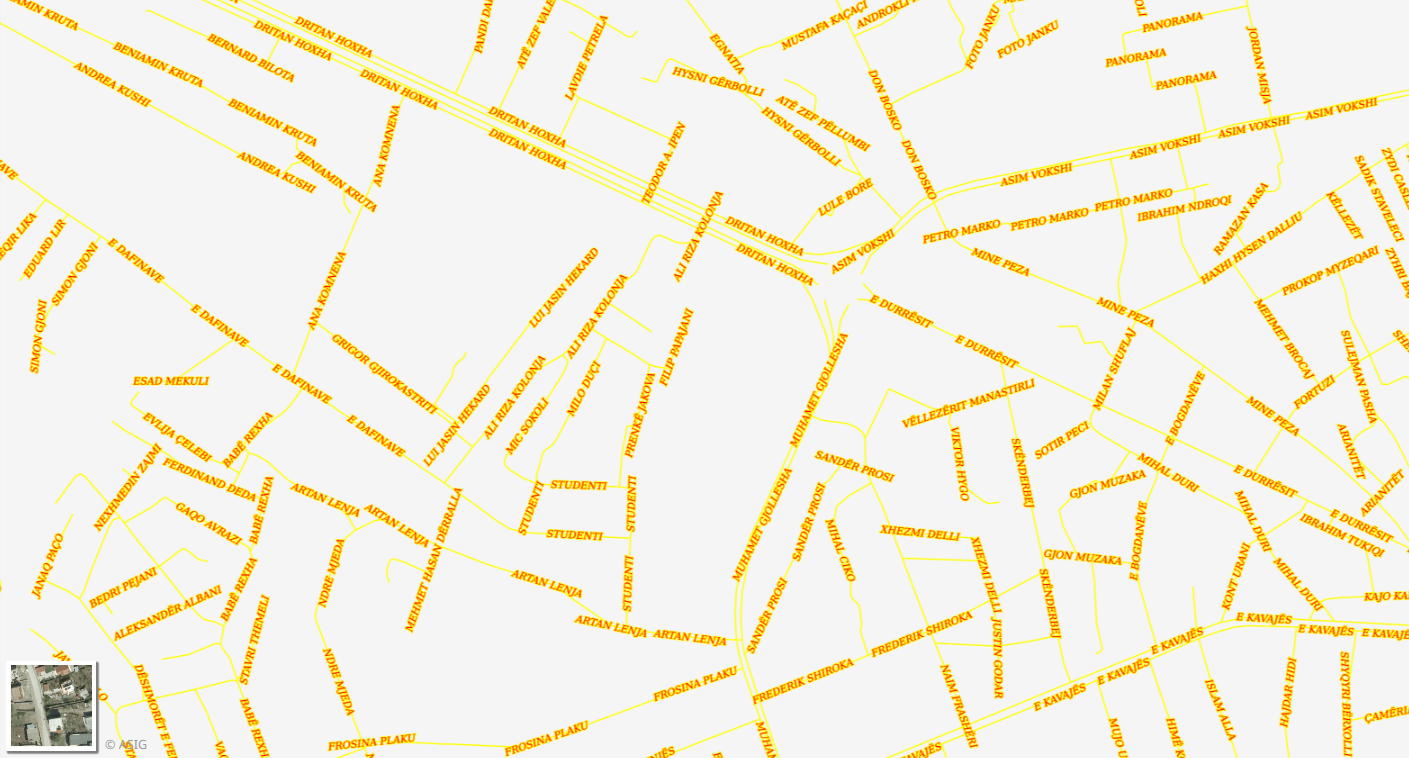
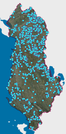
Graphic overview for Address System, Street
Address System, Street Identification and construction of the footprint of parts of public territory (PTP) (boulevard/road/alley/square/park) for the address system for the territory … Albania Oct. 20, 2014 General Directorate of Civil Status (DGCC) copyright
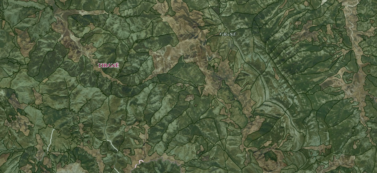
Graphic overview for ALFIS, Forest plot
ALFIS, Forest plot Forest parcel or “Plot” is the name of the forest area, with clear natural boundaries, which is created by dividing … Albania May 14, 2026 National Forestry Agency (NFA) copyright
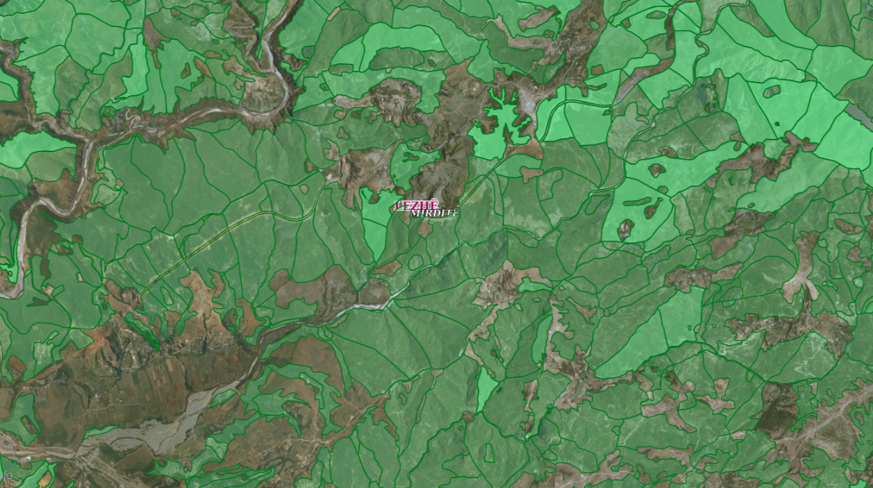
Graphic overview for ALFIS, Forest sub-plot
ALFIS, Forest sub-plot Sub-plot or “Sub-plot” is a surface unit with a minimum size of 0.5 ha, which serves for the assessment of … Albania May 14, 2026 National Forestry Agency (NFA) copyright
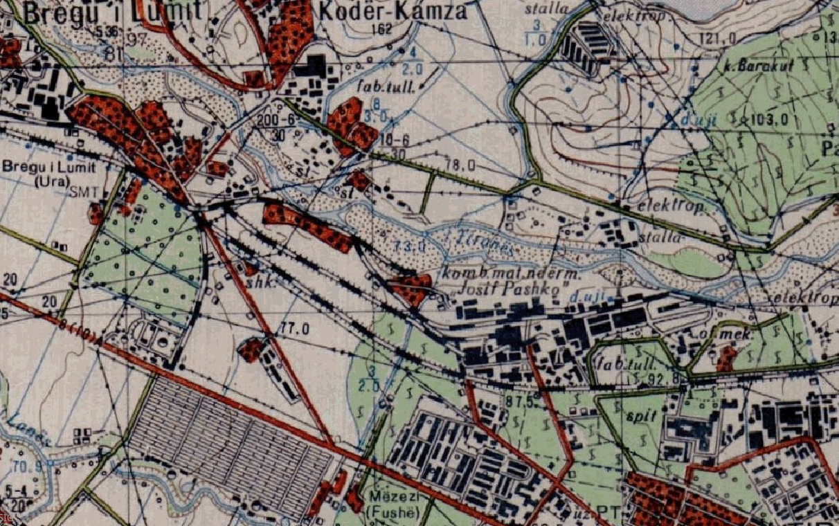
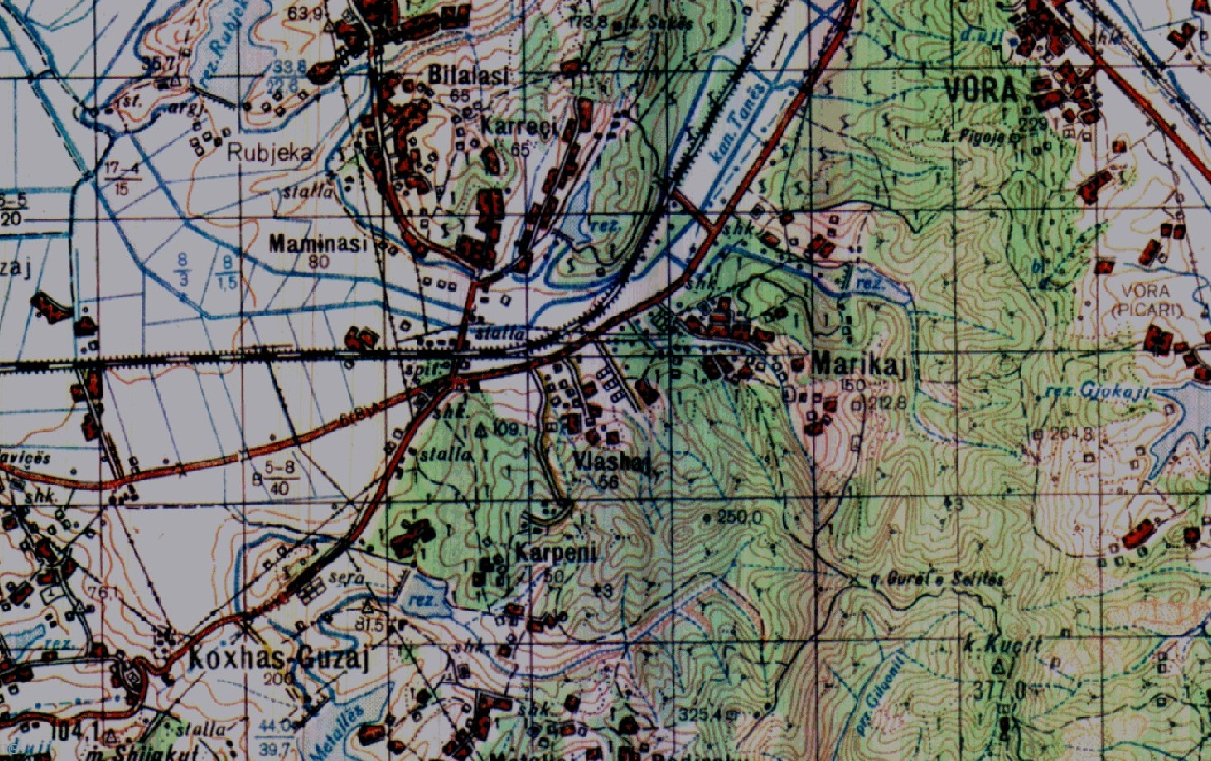
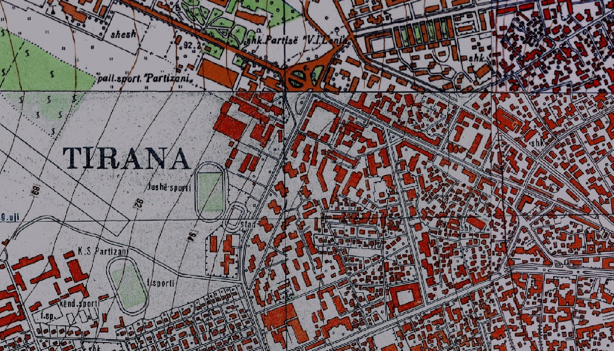
Graphic overview for Base Map, Topographic Map 1:10 000
Base Map, Topographic Map 1:10 000 Topographic map of scale 1:10000 in Image (raster) format created by the Institute of Geography and Military Infrastructure (former ITU). … Albania Jan. 1, 2015 Institute of Geography and Military Infrastructure (formerly ITU) otherRestrictions
Graphic overview for Base Map, Topographic Map 1:25 000
Base Map, Topographic Map 1:25 000 Topographic maps of scale 1:25 000 were published by the Geographical Institute and Military Infrastructure (former ITU), in the years … Albania Jan. 1, 2015 Institute of Geography and Military Infrastructure (formerly ITU) otherRestrictions
Graphic overview for Base Map, Topographic Map 1:50 000
Base Map, Topographic Map 1:50 000 Topographic maps of scale 1:50000 were published by the Institute of Geography and Military Infrastructure (formerly ITU), in the period … Albania Jan. 1, 2015 Institute of Geography and Military Infrastructure (formerly ITU) otherRestrictions
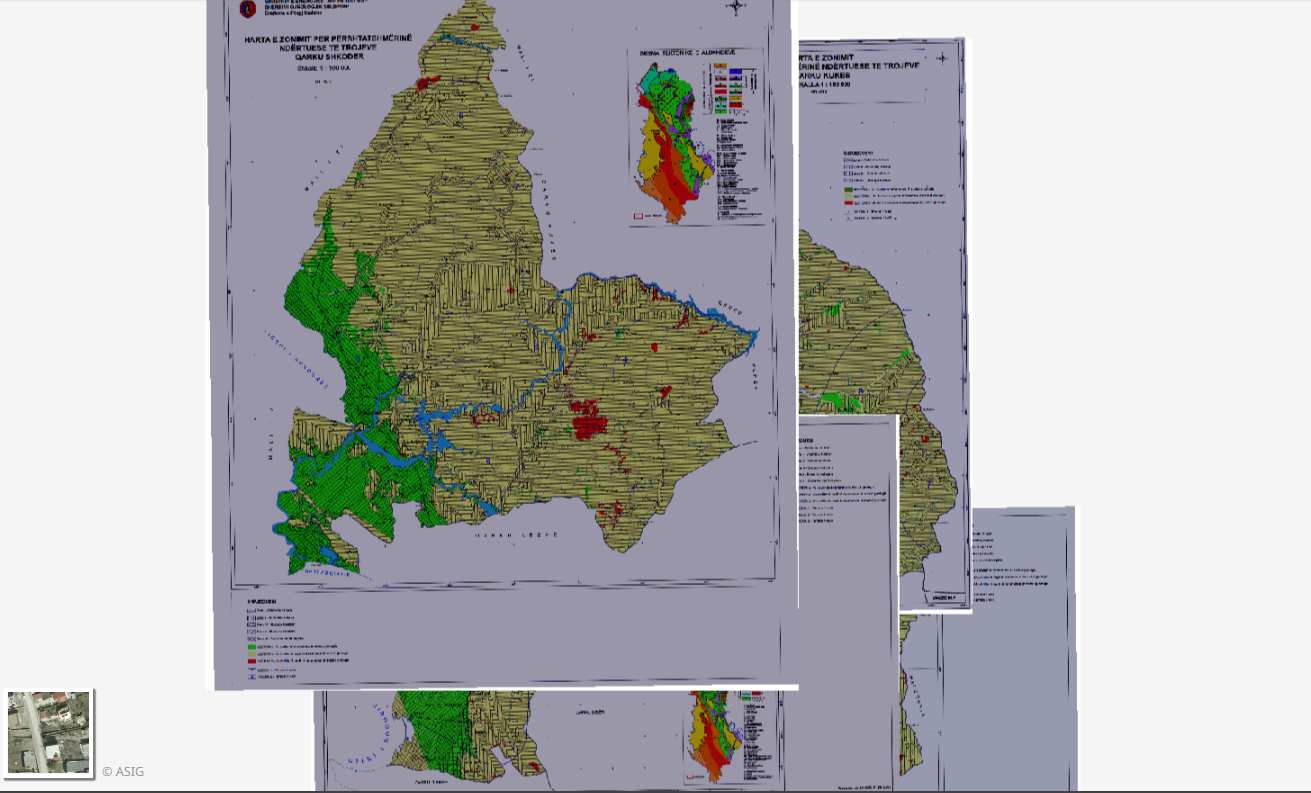
Graphic overview for Geological Zoning, Thematic Maps
Geological Zoning, Thematic Maps Zoning maps for the construction suitability of lands of 12 regions in the Republic of Albania constructed according to geological … Albania March 17, 2015 Albanian Geological Survey (AGS) copyright
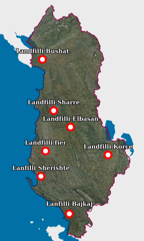
Graphic overview for Landfill
Landfill Waste Landfill – Each location of the respective landfill and the technical specifications specified in the relevant permit. The data … Albania Aug. 18, 2026 National Environmental Agency (NEA) copyright
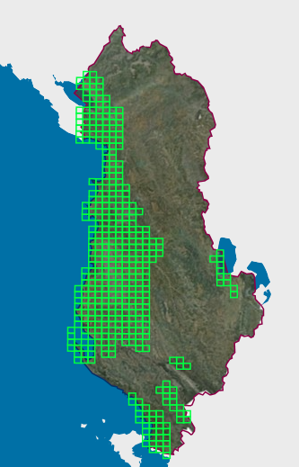
Graphic overview for Map Nomenclature 1:10000
Map Nomenclature 1:10000 These are the data created by the digitalization of the 1:10000 scale topographic map frame, which are scanned, georeferenced and … Albania Oct. 13, 2020 State Authority for Geospatial Information (ASIG) copyright
Graphic overview for Mineral Resources
Mineral Resources The Mineral Resources Map at a scale of 1:200,000 presents the main mineral resources of Albania. It was compiled by … Albania Jan. 1, 2016 National Agency of Natural Resources (NANR) copyright
Showing 10 of 82 records (filtered)
Page 1 of 8. next last »