Showing 10 of 82 records (filtered)
Applied filters: Country: Albania × INSPIRE Theme: GE: Geology × Clear all filters
« first previous Page 2 of 8. next last »
Preview
Title
Abstract
Country
INSPIRE Theme
Publication Date
Responsible Party
Topic Categories
Keywords
Access Constraints
Actions
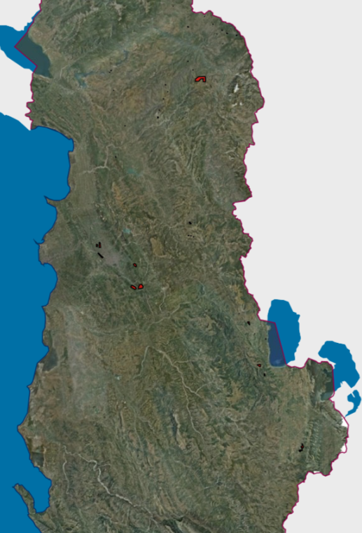
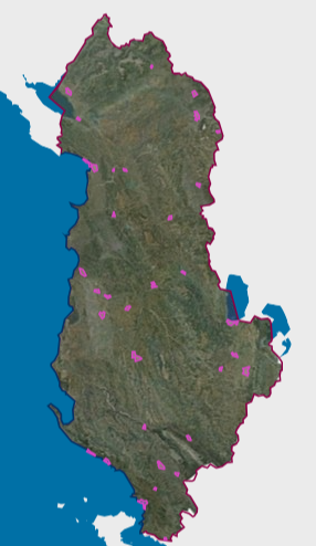
Graphic overview for Mineral Resources, Hazardous Mining Areas VKM 347
Mineral Resources, Hazardous Mining Areas VKM 347 The Mineral Resources Map at a scale of 1:200,000 presents the main mineral resources of Albania. It was compiled by … Albania Jan. 1, 2016 National Agency of Natural Resources (NANR) copyright
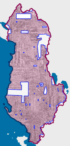
Graphic overview for Orthoimagery Coverage (Year 1976-1986)
Orthoimagery Coverage (Year 1976-1986) Orthoimagery overlay for the Orthophoto layer of 1976-1986. The data are in accordance with the standard with the Council of … Albania Jan. 13, 2025 State Authority for Geospatial Information (ASIG) copyright
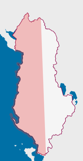
Graphic overview for Orthoimagery Coverage (Year 1976-1986) 1:25 000
Orthoimagery Coverage (Year 1976-1986) 1:25 000 Orthoimagery overlay for the Orthophoto layer of 1976-1986 1:25 000. The data are in accordance with the standard with the … Albania Jan. 26, 2026 State Authority for Geospatial Information (ASIG) copyright
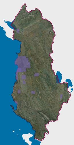
Graphic overview for Orthoimagery Coverage 2024-2026 (UAV)
Orthoimagery Coverage 2024-2026 (UAV) Orthoimagery coverage of the layer that includes the photography of the areas: 1-Dhermi photography, date 14-15 October 2024. 2- Kavaja … Albania Jan. 5, 2026 State Authority for Geospatial Information (ASIG) otherRestrictions
Graphic overview for Orthoimagery Coverage 2026
Orthoimagery Coverage 2026 Information on the coverage area and technical specifications of orthoimagery for the year 2026. The data are in accordance with … Albania July 28, 2026 State Authority for Geospatial Information (ASIG) copyright
Graphic overview for Orthophoto CIR 2015 (20 cm)
Orthophoto CIR 2015 (20 cm) Orthophoto CIR period 2015-2017 with a resolution of 20 cm per pixel which covers the territory of the Republic of … Albania Jan. 1, 2017 State Authority for Geospatial Information (ASIG) copyright
Graphic overview for Near-Real-Time Meteorological Synoptic Observations (SYNOP) for Albania
Near-Real-Time Meteorological Synoptic Observations (SYNOP) for Albania This dataset comprises near-real-time synoptic weather reports (SYNOP) from meteorological stations across Albania. The data includes key atmospheric parameters :Air … Albania Oct. 19, 2025 OGIMET Open Data
Graphic overview for 2019 UAV Orthoimagery Coverage
2019 UAV Orthoimagery Coverage The orthoimagery coverage of the 2019 Orthophoto (UAV) is the product of UAV (Drone) photography of 24 urban areas. The … Albania May 11, 2022 State Authority for Geospatial Information copyright
Graphic overview for AKEP, Antenna Base
AKEP, Antenna Base Electronic communications facilities used by electronic communications companies and serve to place active transmission equipment. The data are in accordance … Albania Sept. 14, 2023 Electronic and Postal Communications Authority - AKEP copyright
Graphic overview for AKEP, Fiber Optics
AKEP, Fiber Optics Electronic communications transmission network, with aerial and terrestrial extension of the optical fiber type. The data are in accordance with … Albania Sept. 14, 2023 Electronic and Postal Communications Authority - AKEP copyright
Showing 10 of 82 records (filtered)
« first previous Page 2 of 8. next last »