Showing 10 of 82 records (filtered)
Applied filters: Country: Albania × INSPIRE Theme: GE: Geology × Clear all filters
« first previous Page 3 of 8. next last »
Preview
Title
Abstract
Country
INSPIRE Theme
Publication Date
Responsible Party
Topic Categories
Keywords
Access Constraints
Actions
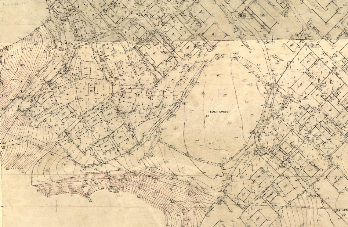
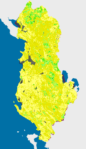
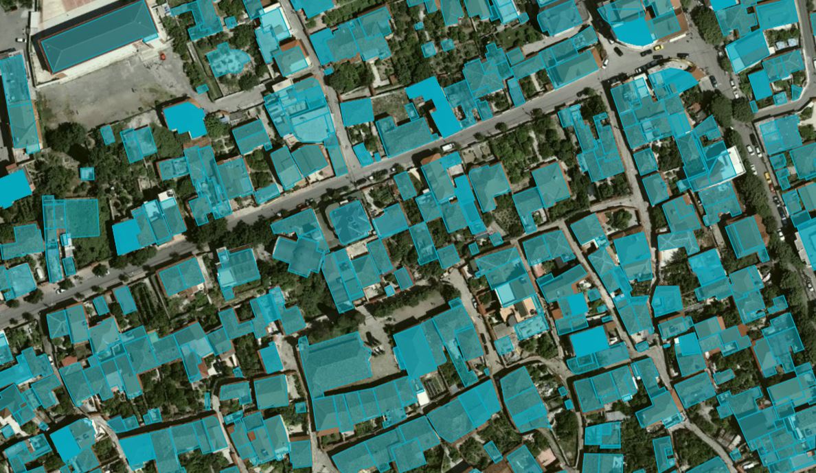
Graphic overview for Base Map Image, Cities (AQTN)
Base Map Image, Cities (AQTN) The 1:500 scale plates were created using the tachymetric method by the former Geology-Geodesy enterprise. The main task of this … Albania Jan. 1, 2018 Central Technical Archive of Construction copyright
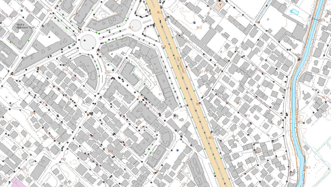
Graphic overview for Base Map Image, Topographic Map 1:2000
Base Map Image, Topographic Map 1:2000 Base map of scale 1:2 000 in Image (raster) format, created by the State Authority for Geospatial Information (ASIG) in … Albania June 29, 2022 State Authority for Geospatial Information copyright
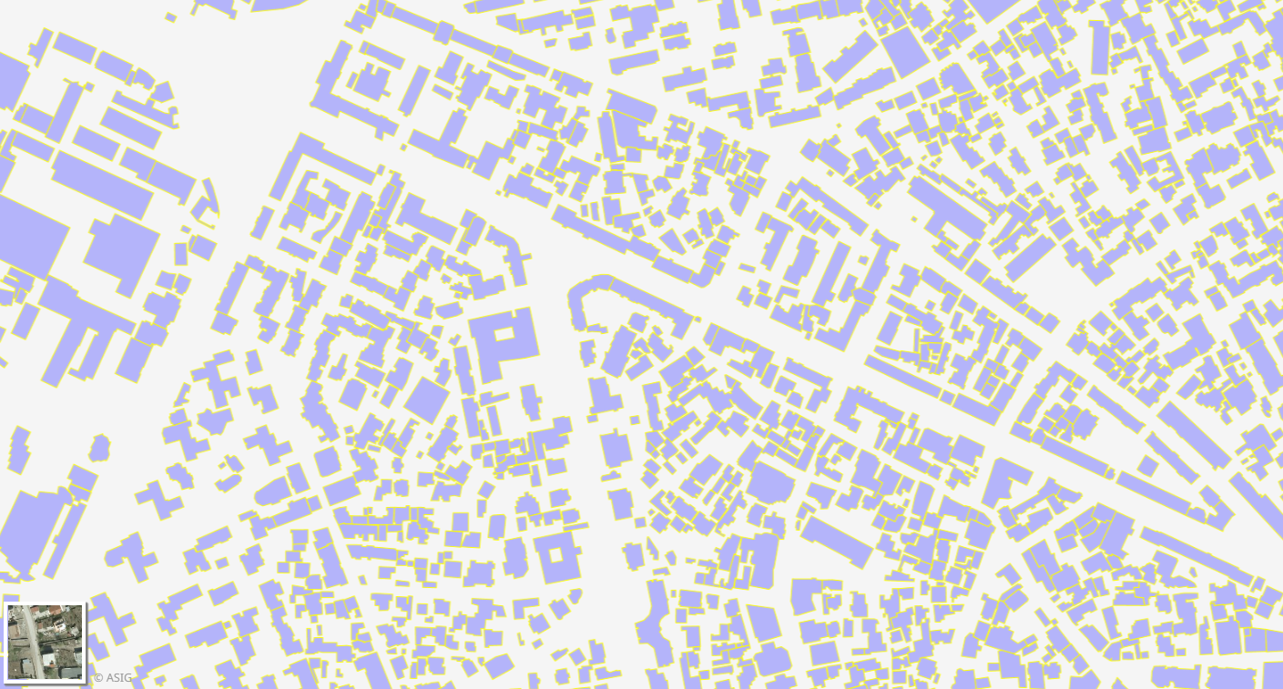
Graphic overview for Buildings (ADDRESS)
Buildings (ADDRESS) Identification and construction of the building footprint for the Address System for the territory of the Republic of Albania. The … Albania Oct. 20, 2014 General Directorate of Civil Status Not specified copyright
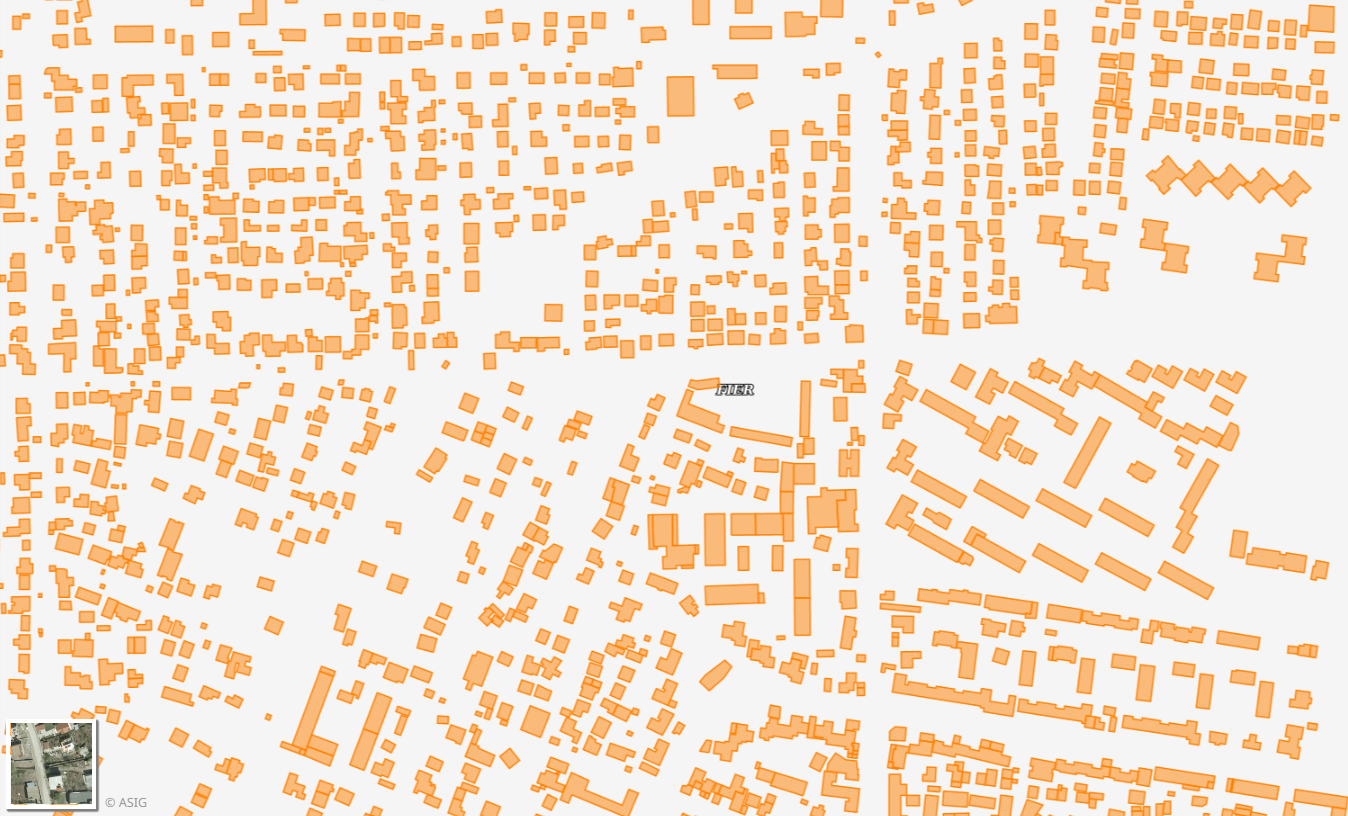
Graphic overview for Cadastral Buildings (ALBSCAD)
Cadastral Buildings (ALBSCAD) Cadastral Zones or Cadastral Blocks which have been worked on in the Multifunctional system by the Local Directorates of the … Albania March 28, 2025 State Cadastral Agency copyright
Graphic overview for Cadastral Parcels, Buildings
Cadastral Parcels, Buildings Cartographic information of the indicative maps of immovable properties (HTR), at the time of the initial registration. The information was … Albania Sept. 11, 2014 State Cadastral Agency copyright
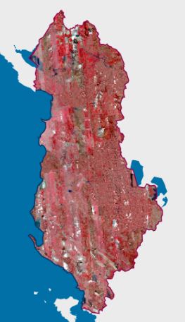
Graphic overview for CIR 2023 Satellite Orthophoto
CIR 2023 Satellite Orthophoto The CIR 2023 Satellite Orthophoto covers an area of approximately 28,748 km². It was obtained through the “Satellite Service” project … Albania Sept. 23, 2024 State Authority for Geospatial Information copyright
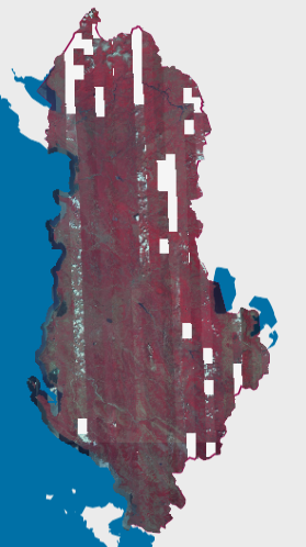
Graphic overview for CIR 2025 Satellite Orthophoto
CIR 2025 Satellite Orthophoto The CIR 2025 Satellite Orthophoto covers 95% of the territory of the Republic of Albania from satellite images collected during … Albania Aug. 20, 2025 State Authority for Geospatial Information copyright
Graphic overview for DCM No. 45, dated 29.01.2014, on agricultural land plots
DCM No. 45, dated 29.01.2014, on agricultural land plots This data set represents the agricultural land plots that, by decisions of the Council of Ministers no. 45, dated 29.01.2014, … Albania Jan. 1, 2018 Ministry of Agriculture and Rural Development copyright
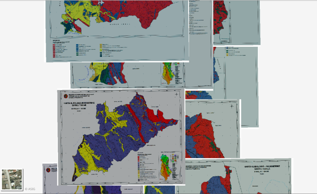
Graphic overview for Engineering Geology, Thematic Maps
Engineering Geology, Thematic Maps Geological-engineering maps of the 12 Regions in the Republic of Albania constructed according to geological maps of 1: 100,000 scale … Albania March 17, 2015 Albanian Geological Survey copyright
Graphic overview for Forest cover elevation map
Forest cover elevation map Height of forest trees over two meters. The map was produced by the National Forest Agency using LiDAR data from … Albania March 23, 2023 National Forestry Agency copyright
Showing 10 of 82 records (filtered)
« first previous Page 3 of 8. next last »