Showing 10 of 82 records (filtered)
Applied filters: Country: Albania × INSPIRE Theme: GE: Geology × Clear all filters
« first previous Page 5 of 8. next last »
Preview
Title
Abstract
Country
INSPIRE Theme
Publication Date
Responsible Party
Topic Categories
Keywords
Access Constraints
Actions
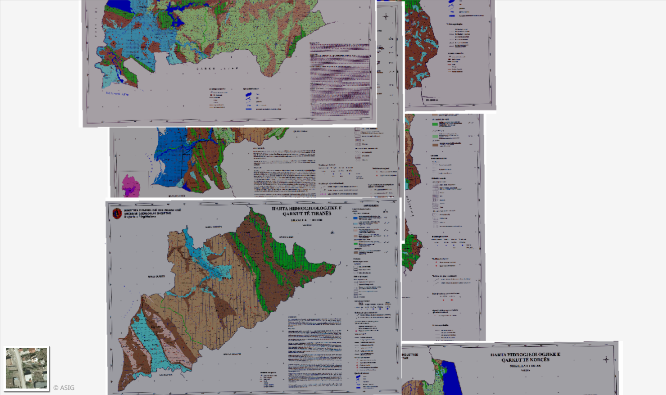
Graphic overview for Hydrogeology, Thematic Maps
Hydrogeology, Thematic Maps Hydrogeological Maps of the 12 Regions in the Republic of Albania constructed according to geological maps of 1:100,000 scale tablets. … Albania March 17, 2015 Albanian Geological Survey copyright
Graphic overview for Justice system
Justice system Positioning of public institution facilities, starting from the locations of offices for the entire territory of the Republic of Albania. … Albania March 1, 2024 State Authority for Geospatial Information Not specified copyright
Graphic overview for Local Health Care Units
Local Health Care Units This layer represents the Local Health Care Units which have been mapped to highlight the territorial extent that these units … Albania Oct. 7, 2024 State Authority for Geospatial Information copyright
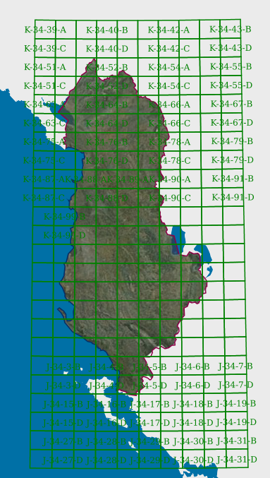
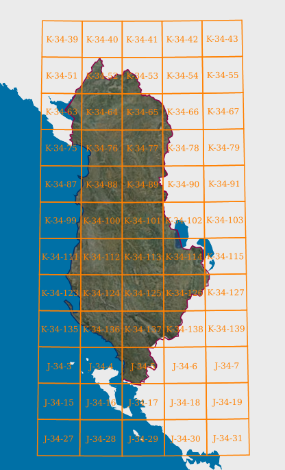
Graphic overview for Map Nomenclature 1:100000
Map Nomenclature 1:100000 These are the data generated by the digitalization of the 100,000 scale topographic map frame, which have been scanned, georeferenced … Albania Oct. 13, 2020 State Authority for Geospatial Information copyright
Graphic overview for Map Nomenclature 1:2500
Map Nomenclature 1:2500 These are the data created by the digitalization of the 2500 scale topographic map frame, which have been scanned, georeferenced … Albania Oct. 13, 2020 State Authority for Geospatial Information copyright
Graphic overview for Map Nomenclature 1:25000
Map Nomenclature 1:25000 These are the data generated by the digitalization of the 1:25000 scale topographic map frame, which have been scanned, georeferenced … Albania Oct. 13, 2020 State Authority for Geospatial Information copyright
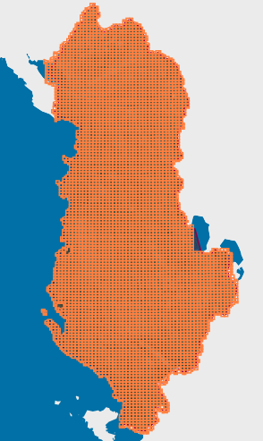
Graphic overview for Map Nomenclature 1:5000
Map Nomenclature 1:5000 These are the data generated by the digitalization of the 5000 scale topographic map frame, which have been scanned, georeferenced … Albania Oct. 13, 2020 State Authority for Geospatial Information copyright
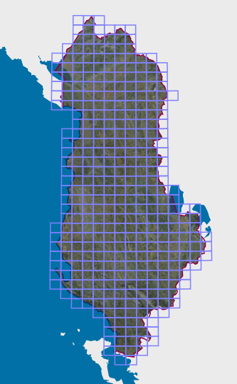
Graphic overview for Map Nomenclature 1:50000
Map Nomenclature 1:50000 These are the data generated by the digitalization of the 50,000 scale topographic map frame, which have been scanned, georeferenced … Albania Oct. 13, 2020 State Authority for Geospatial Information copyright
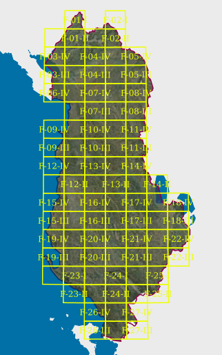
Graphic overview for Map Nomenclature 1:50000 (Italian)
Map Nomenclature 1:50000 (Italian) These are the data created by the digitization of the topographic map frame of scale 1:50000 (Italian), which are georeferenced … Albania April 14, 2022 State Authority for Geospatial Information copyright
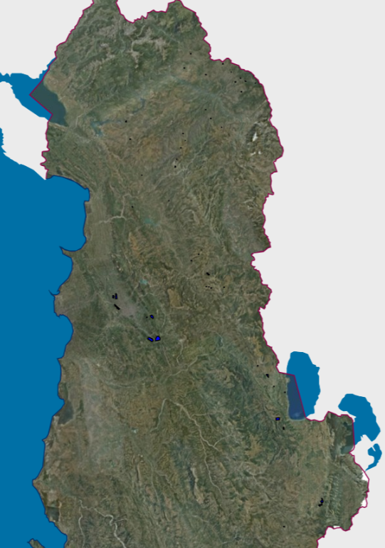
Graphic overview for Mineral Resources, Hazardous Mining Areas VKM 726
Mineral Resources, Hazardous Mining Areas VKM 726 The Mineral Resources Map at a scale of 1:200,000 presents the main mineral resources of Albania. It was compiled by … Albania Jan. 1, 2016 National Agency of Natural Resources copyright
Showing 10 of 82 records (filtered)
« first previous Page 5 of 8. next last »