Showing 9 of 9 records (filtered)
Applied filters: Country: Albania × Keywords: Land × INSPIRE Theme: HB: Habitats and Biotopes × Clear all filters
Preview
Title
Abstract
Country
INSPIRE Theme
Publication Date
Responsible Party
Topic Categories
Keywords
Access Constraints
Actions
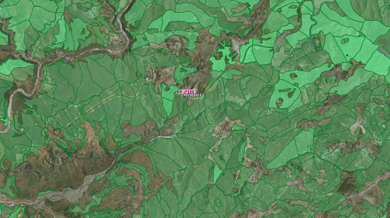
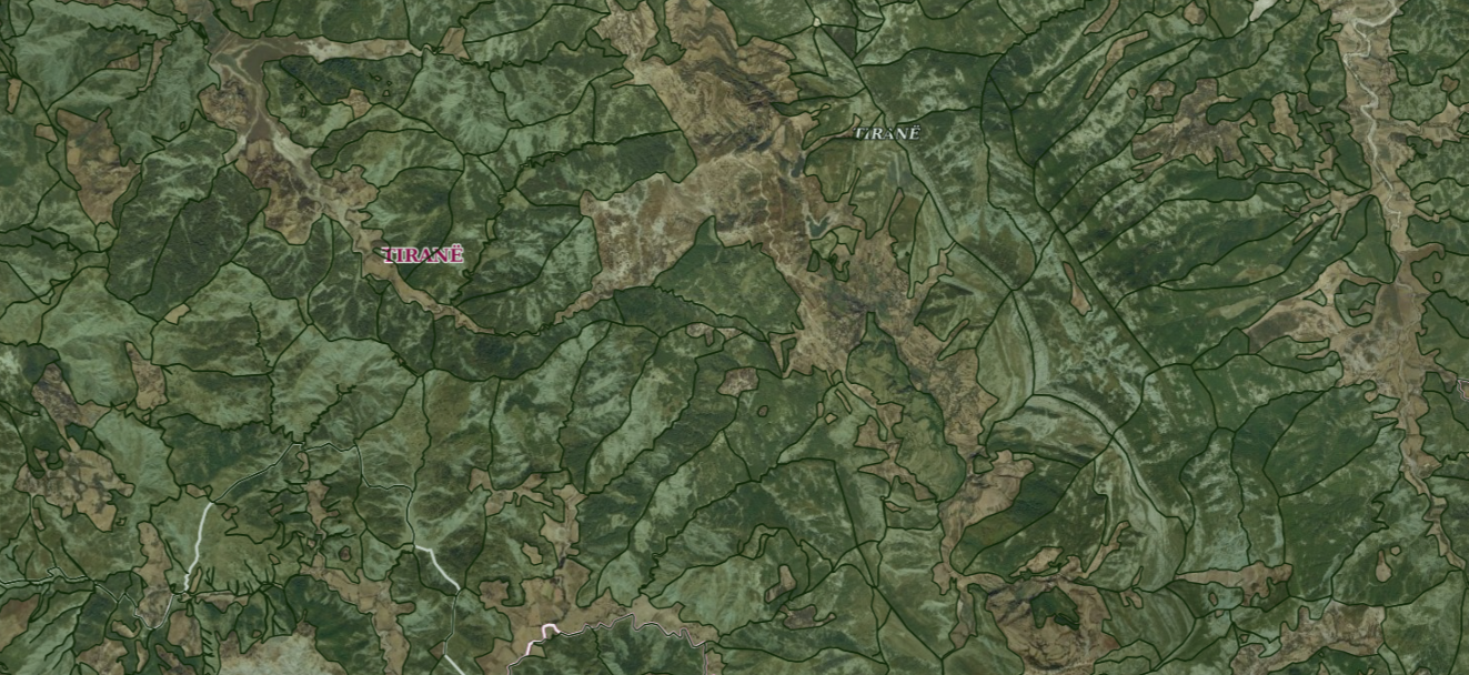
Graphic overview for ALFIS, Forest plot
ALFIS, Forest plot Forest parcel or “Plot” is the name of the forest area, with clear natural boundaries, which is created by dividing … Albania May 14, 2026 National Forestry Agency (NFA) copyright
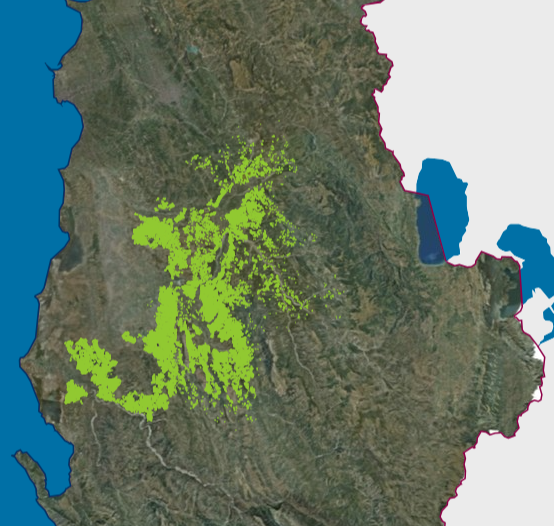
Graphic overview for ALFIS, Forest sub-plot
ALFIS, Forest sub-plot Sub-plot or “Sub-plot” is a surface unit with a minimum size of 0.5 ha, which serves for the assessment of … Albania May 14, 2026 National Forestry Agency (NFA) copyright
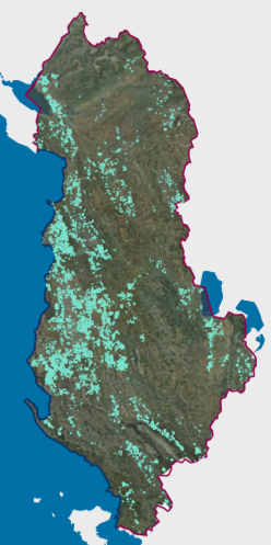
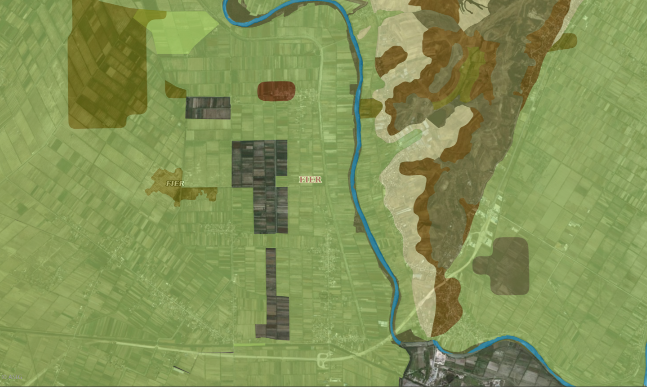
Graphic overview for Existing land use, Olive Cadastre.
Existing land use, Olive Cadastre. The Olive Cadastre is a system consisting of standardized geographic and textual data for the identification, registration and monitoring of … Albania Feb. 6, 2026 Agricultural Technology Transfer Center (ATTC) copyright
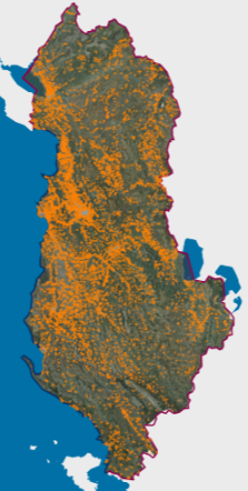
Graphic overview for Existing land use, Vineyard Cadastre
Existing land use, Vineyard Cadastre The Vineyard Cadastre is a system consisting of standardized geographic and textual data for the identification, registration and monitoring of … Albania Jan. 16, 2026 Agricultural Technology Transfer Center (ATTC) copyright
Graphic overview for Urban Areas (AKPT)
Urban Areas (AKPT) Created based on decision No. 5 dated 29.12.2014 of the KKT "For the identification of urbanized areas throughout the territory … Albania Aug. 13, 2015 National Territorial Planning Agency (NTPA) copyright
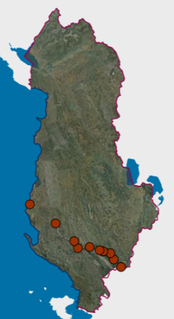
Graphic overview for Environmental Monitoring Infrastructure, Erosion Monitoring Network 2020
Environmental Monitoring Infrastructure, Erosion Monitoring Network 2020 Erosion monitoring network with measuring stations. Determination of the annual amount of eroded soil along the entire length of the … Albania Feb. 14, 2023 National Environmental Agency copyright
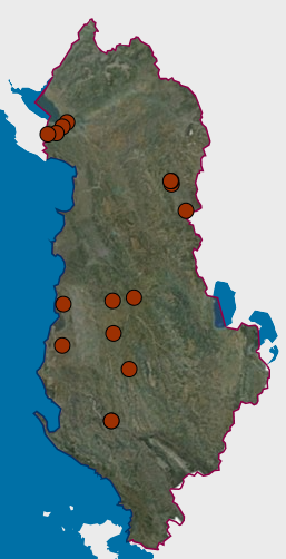
Graphic overview for Environmental Monitoring Infrastructure, Erosion Monitoring Network 2021
Environmental Monitoring Infrastructure, Erosion Monitoring Network 2021 Erosion monitoring network with measuring stations. Monitoring the level of erosion of agricultural land on the banks of the main … Albania March 2, 2023 National Environmental Agency copyright
Graphic overview for Land suitability
Land suitability For the classification of land according to its suitability in the legal aspect, it is based on the instruction No. … Albania Sept. 4, 2019 Agricultural Technology Transfer Center copyright
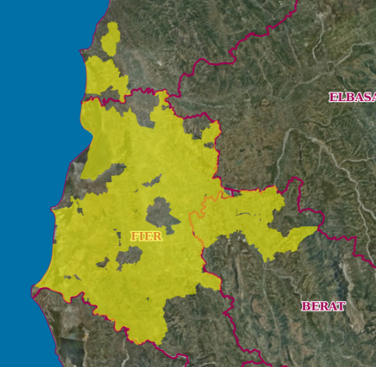
Graphic overview for Land suitability (Coverage area)
Land suitability (Coverage area) This layer defines the coverage area of land suitability. For the classification of land according to its suitability in the … Albania Sept. 4, 2019 Agricultural Technology Transfer Center copyright
Showing 9 of 9 records (filtered)