Showing 10 of 147 records (filtered)
Applied filters: Country: Albania × INSPIRE Theme: HB: Habitats and Biotopes × Clear all filters
« first previous Page 10 of 15. next last »
Preview
Title
Abstract
Country
INSPIRE Theme
Publication Date
Responsible Party
Topic Categories
Keywords
Access Constraints
Actions
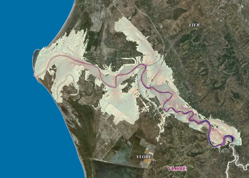
Graphic overview for Flood Risk Map, Vjosa Basin
Flood Risk Map, Vjosa Basin This layer is in line with the EU Floods Directive, which presents a risk map for the area as well … Albania May 12, 2023 Water Resources Management Agency copyright
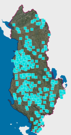
Graphic overview for Infrastructure for environmental monitoring, River water monitoring network, physical-chemical properties 2022
Infrastructure for environmental monitoring, River water monitoring network, physical-chemical properties 2022 Network for monitoring the physical-chemical indicators of the waters of the main rivers of Albania. The data are in accordance … Albania Jan. 10, 2024 National Environmental Agency copyright
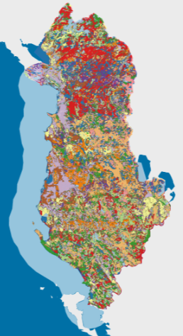
Graphic overview for Land cover (Corine 2012)
Land cover (Corine 2012) Corine Map. European level reporting of the monitoring of the 5 main categories of land cover. 1. Urban 2. Agricultural … Albania May 14, 2019 National Environmental Agency copyright
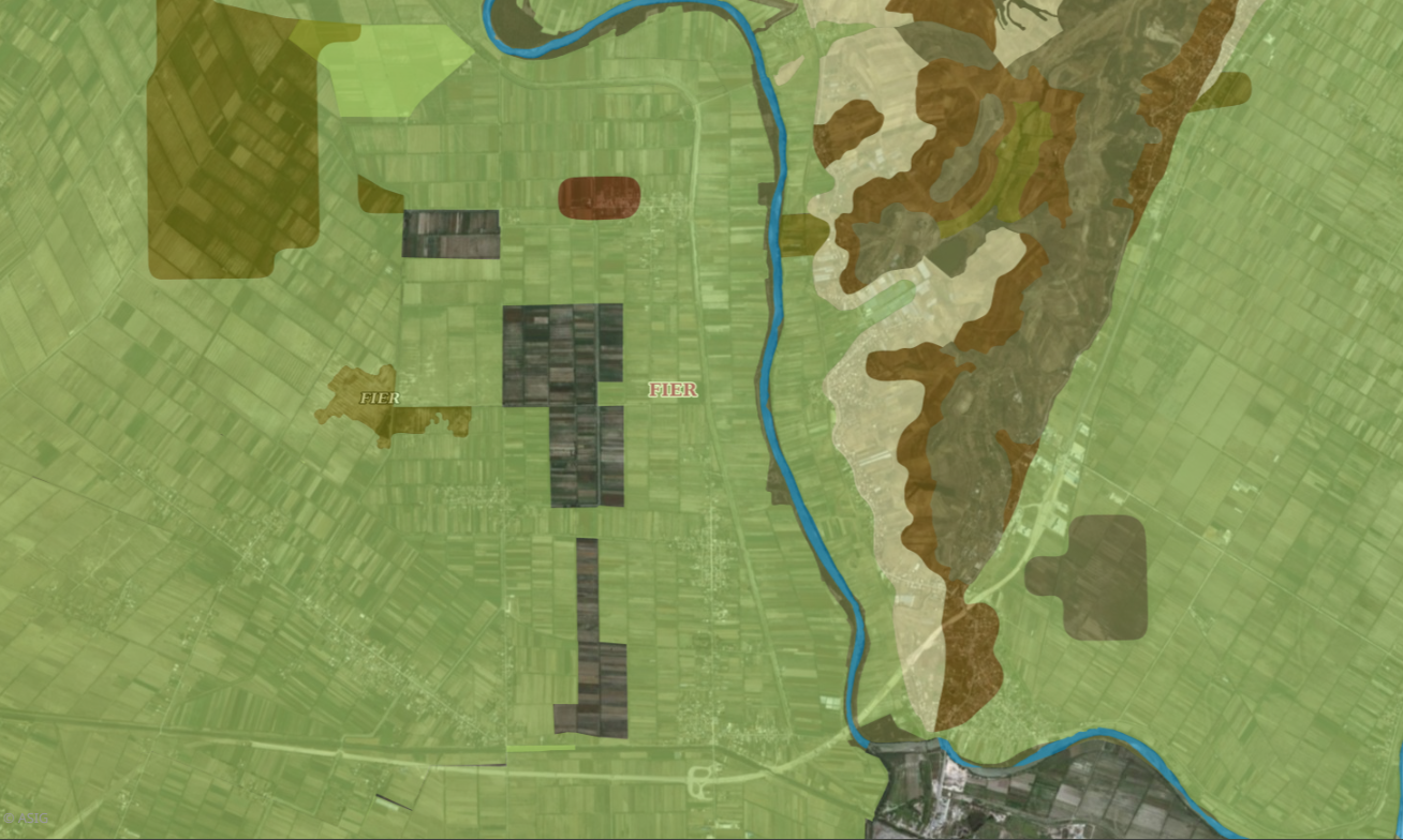
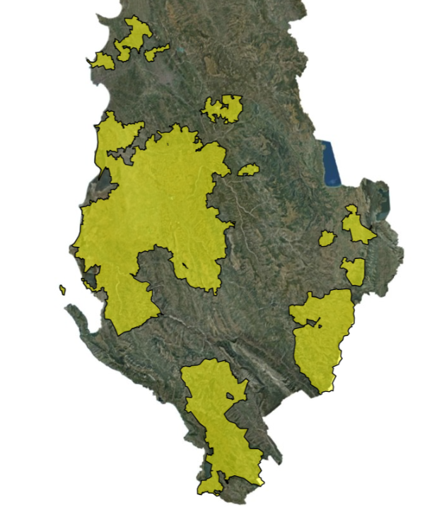
Graphic overview for Land suitability
Land suitability For the classification of land according to its suitability in the legal aspect, it is based on the instruction No. … Albania Sept. 4, 2019 Agricultural Technology Transfer Center copyright
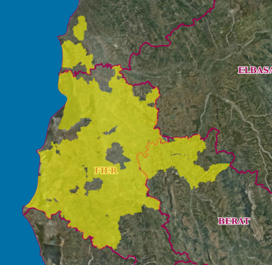
Graphic overview for Land suitability (Coverage area)
Land suitability (Coverage area) This layer defines the coverage area of land suitability. For the classification of land according to its suitability in the … Albania Sept. 4, 2019 Agricultural Technology Transfer Center copyright
Graphic overview for Land use (Coverage area)
Land use (Coverage area) This layer defines the area of land use coverage. Land use is defined as the type of human activity that … Albania April 27, 2020 Agricultural Technology Transfer Center Not specified copyright
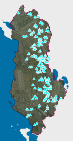
Graphic overview for Large Dams
Large Dams The National Register of Large Dams (RMD) 2021 was conceived by the National Committee of Large Dams (NCLD) with its … Albania Dec. 10, 2021 National Committee of Large Dams copyright
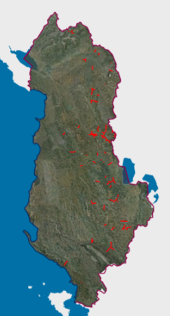
Graphic overview for Monitoring of HPPs, Connection of Sub-works
Monitoring of HPPs, Connection of Sub-works Data obtained from the actual survey of the coordinates of buildings, intake works, pressure basins, decanters, etc., using Trimble R10 … Albania June 13, 2019 National Agency of Natural Resources copyright
Graphic overview for Monitoring of HPPs, Hydropower Sub-project
Monitoring of HPPs, Hydropower Sub-project Data obtained from the actual survey of the coordinates of buildings, intake works, pressure basins, decanters, etc., using GPS Trimble … Albania Nov. 7, 2023 National Agency of Natural Resources copyright
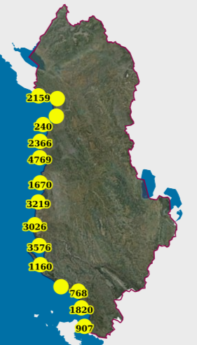
Graphic overview for Monitoring, Coastal (UAV) (2019)
Monitoring, Coastal (UAV) (2019) Photography of the coastline of the Republic of Albania with "UAV" technology for the year 2019. This dataset will be … Albania Feb. 13, 2024 State Authority for Geospatial Information copyright
Showing 10 of 147 records (filtered)
« first previous Page 10 of 15. next last »