Showing 4 of 4 records (filtered)
Applied filters: Country: Albania × Keywords: UAV × Clear all filters
Preview
Title
Abstract
Country
INSPIRE Theme
Publication Date
Responsible Party
Topic Categories
Keywords
Access Constraints
Actions
🖼️
Coastal monitoring (UAV) Photography of the coastline of the Republic of Albania with "UAV" technology. This data set will be used by ASIG … Albania Not specified July 22, 2022 State Authority for Geospatial Information (ASIG) Not specified copyright
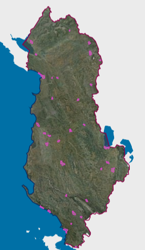
Graphic overview for Orthoimagery Coverage 2024-2026 (UAV)
Orthoimagery Coverage 2024-2026 (UAV) Orthoimagery coverage of the layer that includes the photography of the areas: 1-Dhermi photography, date 14-15 October 2024. 2- Kavaja … Albania Jan. 5, 2026 State Authority for Geospatial Information (ASIG) otherRestrictions
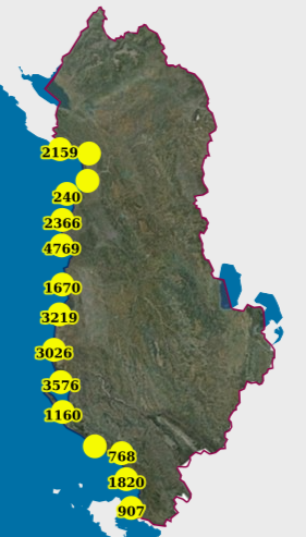
Graphic overview for Monitoring, Coastal (UAV) (2019)
Monitoring, Coastal (UAV) (2019) Photography of the coastline of the Republic of Albania with "UAV" technology for the year 2019. This dataset will be … Albania Feb. 13, 2024 State Authority for Geospatial Information copyright
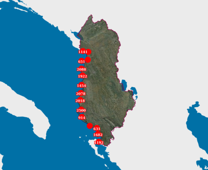
Graphic overview for Monitoring, Coastal (UAV) (2022)
Monitoring, Coastal (UAV) (2022) Photography of the coastline of the Republic of Albania with "UAV" technology. This data set will be used by ASIG … Albania July 22, 2022 State Authority for Geospatial Information copyright
Showing 4 of 4 records (filtered)