Showing 10 of 10 records (filtered)
Applied filters: Country: Albania × Keywords: cover × Clear all filters
Preview
Title
Abstract
Country
INSPIRE Theme
Publication Date
Responsible Party
Topic Categories
Keywords
Access Constraints
Actions
🖼️
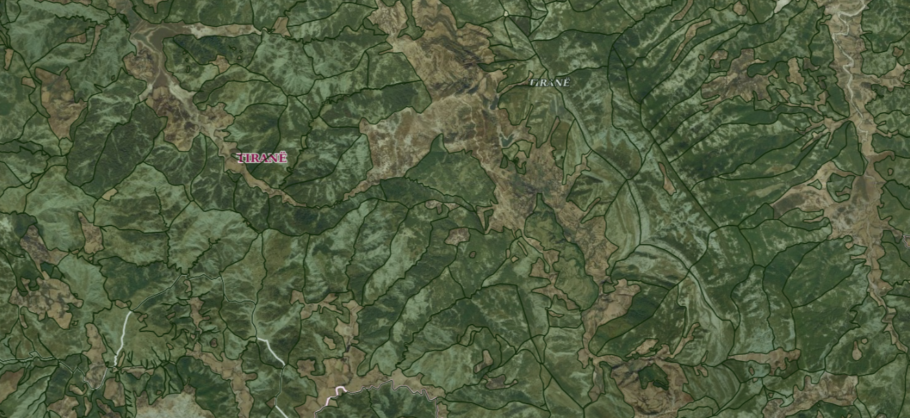
ALFIS, Forest Economy Frontier The “Forest Economy Boundary” is the basic unit of organization of the area of the national forest fund for forest … Albania Not specified May 14, 2026 National Forestry Agency (NFA) Not specified copyright
Graphic overview for ALFIS, Forest plot
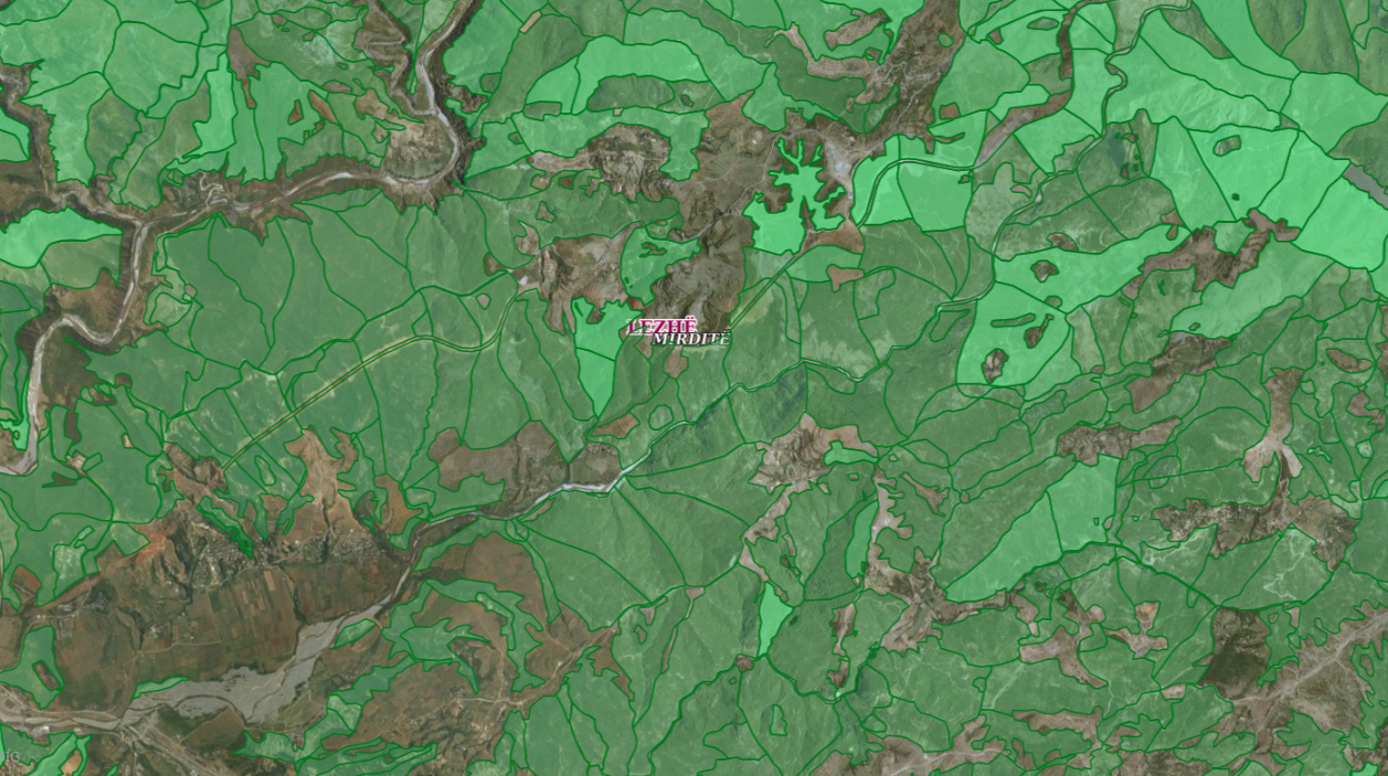
ALFIS, Forest plot Forest parcel or “Plot” is the name of the forest area, with clear natural boundaries, which is created by dividing … Albania May 14, 2026 National Forestry Agency (NFA) copyright
Graphic overview for ALFIS, Forest sub-plot
ALFIS, Forest sub-plot Sub-plot or “Sub-plot” is a surface unit with a minimum size of 0.5 ha, which serves for the assessment of … Albania May 14, 2026 National Forestry Agency (NFA) copyright
🖼️
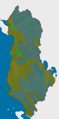
Corine Land Cover Corine 2018 data are in accordance with the State Standard for Technical Specifications of Geospatial Information in Albania. Topic: Land … Albania Not specified May 14, 2019 National Environmental Agency (NEA) Not specified copyright
Graphic overview for Orthoimagery Coverage 2026
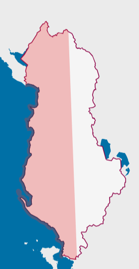
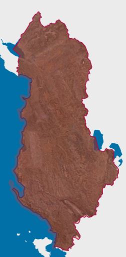
Orthoimagery Coverage 2026 Information on the coverage area and technical specifications of orthoimagery for the year 2026. The data are in accordance with … Albania July 28, 2026 State Authority for Geospatial Information (ASIG) copyright
🖼️
CORINE Land Cover 2018 Corine Land Cover 2018 is one of the datasets produced within the framework of the Corine Land Cover programme referring … Albania Jan. 30, 2023 ASIG none
Graphic overview for OpenStreetMap Land Use Data for Albania
OpenStreetMap Land Use Data for Albania Land use areas from OpenStreetMap for Albania Albania Oct. 19, 2024 OpenStreetMap Contributors Open Database License
Graphic overview for Orthoimagery Coverage 2024
Orthoimagery Coverage 2024 Information on the coverage area and technical specifications of orthoimagery for the year 2024. The data are in accordance with … Albania Oct. 1, 2024 State Authority for Geospatial Information copyright
🖼️
Orthoimagery Coverage 2025 Information on the coverage area and technical specifications of orthoimagery for the year 2025. The data are in accordance with … Albania Aug. 13, 2025 State Authority for Geospatial Information copyright
Graphic overview for Orthoimagery overlay 2015
Orthoimagery overlay 2015 Information on coverage areas and technical specifications of orthoimagery for the years 2015-2017. The data are in accordance with the … Albania March 16, 2018 State Authority for Geospatial Information copyright
Showing 10 of 10 records (filtered)