Showing 14 of 14 records (filtered)
Applied filters: Country: Albania × Keywords: for × Clear all filters
Preview
Title
Abstract
Country
INSPIRE Theme
Publication Date
Responsible Party
Topic Categories
Keywords
Access Constraints
Actions
🖼️
ALFIS, Forest Economy Frontier The “Forest Economy Boundary” is the basic unit of organization of the area of the national forest fund for forest … Albania Not specified May 14, 2026 National Forestry Agency (NFA) Not specified copyright
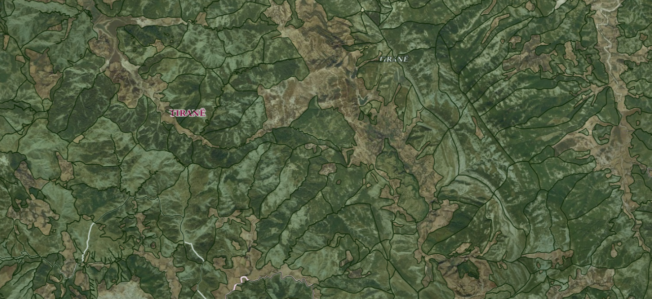
Graphic overview for ALFIS, Forest plot
ALFIS, Forest plot Forest parcel or “Plot” is the name of the forest area, with clear natural boundaries, which is created by dividing … Albania May 14, 2026 National Forestry Agency (NFA) copyright
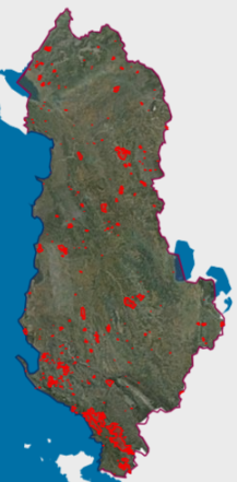
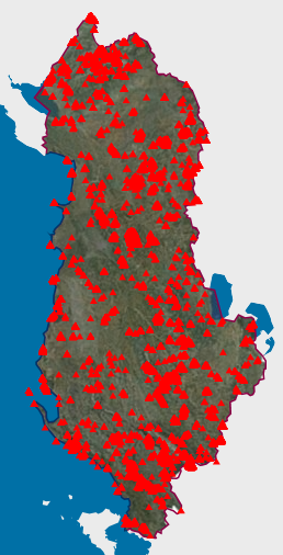
Graphic overview for Areas with natural hazards, Fires 2025
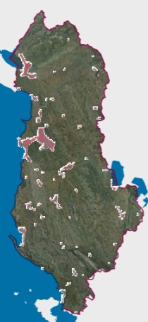
Areas with natural hazards, Fires 2025 Forest fires that have crossed the territory of the Republic of Albania during the period January-December 2025. The data are … Albania Not specified Feb. 2, 2026 National Civil Protection Agency (AKMC) Not specified copyright
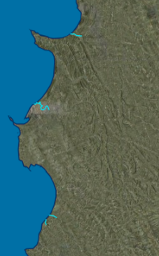
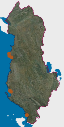
Graphic overview for Ecological status of surface water bodies, transitional waters (TWB)
Ecological status of surface water bodies, transitional waters (TWB) These data are generated from the Ishëm and Erzen River Basin Management Plans, approved respectively with VKM no. 624, date … Albania March 25, 2026 Water Resources Management Agency (WRMA) copyright
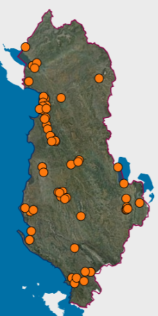
Graphic overview for Environmental monitoring infrastructure, Groundwater monitoring network 2024
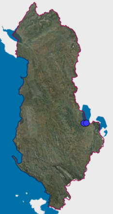
Environmental monitoring infrastructure, Groundwater monitoring network 2024 Groundwater monitoring in the main basins of Albania. The data are in accordance with the standard approved by the Council … Albania Feb. 25, 2026 National Environmental Agency (NEA) copyright
Graphic overview for Environmental monitoring infrastructure, River water monitoring network, Tributaries 2024
Environmental monitoring infrastructure, River water monitoring network, Tributaries 2024 Network for monitoring physico-chemical indicators of river waters (Tributaries). The data are in accordance with the standard approved by the … Albania Feb. 25, 2026 National Environmental Agency (NEA) copyright
Graphic overview for Environmental monitoring infrastructure, Surface water monitoring network 2024
Environmental monitoring infrastructure, Surface water monitoring network 2024 Assessment of the content of heavy metals in surface waters: rivers, lakes and lagoons in the Territory of the Republic … Albania Feb. 25, 2026 National Environmental Agency (NEA) copyright
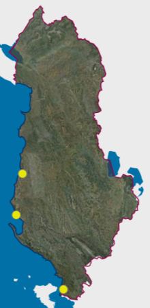
Graphic overview for Environmental monitoring infrastructure, Urban noise monitoring network 2024
Environmental monitoring infrastructure, Urban noise monitoring network 2024 The network contains all noise monitoring stations for several cities in the country. The data are in accordance with the … Albania Feb. 25, 2026 National Environmental Agency (NEA) copyright
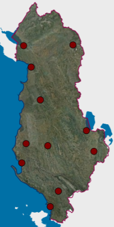
Graphic overview for Environmental monitoring infrastructure, Wastewater monitoring network 2024
Environmental monitoring infrastructure, Wastewater monitoring network 2024 Network for monitoring physico-chemical indicators of urban wastewater. The data are in accordance with the standard approved by the Council … Albania Feb. 25, 2026 National Environmental Agency (NEA) copyright
Graphic overview for Natural Monuments
Natural Monuments In accordance with LAW No. 81/2017 "On Protected Areas" The totality of environmental protected areas constitutes the national system of … Albania Not specified March 7, 2023 National Agency for Protected Areas (NAPA) Not specified copyright
Graphic overview for Orthophoto CIR 2015 (20 cm)
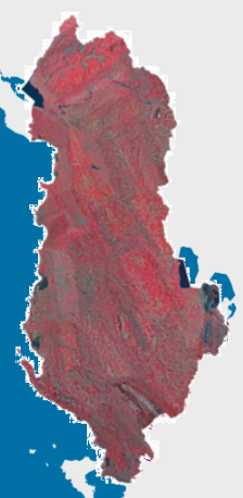
Orthophoto CIR 2015 (20 cm) Orthophoto CIR period 2015-2017 with a resolution of 20 cm per pixel which covers the territory of the Republic of … Albania Jan. 1, 2017 State Authority for Geospatial Information (ASIG) copyright
🖼️
Urban Infrastructure and Government Services, AZHT The data are in accordance with the State Standard for Technical Specifications of Geospatial Information in Albania. Topic: Urban Infrastructure … Albania Not specified Sept. 3, 2019 Territorial Development Agency (TDA) Not specified copyright
Graphic overview for OpenStreetMap Natural Areas for Albania
OpenStreetMap Natural Areas for Albania Natural features and areas from OpenStreetMap for Albania Albania Oct. 19, 2024 OpenStreetMap Contributors Open Database License
Graphic overview for Orthophoto CIR 2015 (8cm)
Orthophoto CIR 2015 (8cm) Orthophoto for the territory of the Republic of Albania with an image in the Infrared format (CIR). The data are … Albania April 16, 2018 State Authority for Geospatial Information copyright
Showing 14 of 14 records (filtered)