Showing 10 of 317 records (filtered)
Applied filters: Country: Albania × Clear all filters
« first previous Page 4 of 32. next last »
Preview
Title
Abstract
Country
INSPIRE Theme
Publication Date
Responsible Party
Topic Categories
Keywords
Access Constraints
Actions
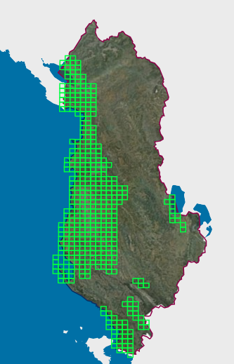
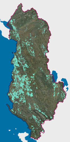
Graphic overview for Existing land use, Vineyard Cadastre
Existing land use, Vineyard Cadastre The Vineyard Cadastre is a system consisting of standardized geographic and textual data for the identification, registration and monitoring of … Albania Jan. 16, 2026 Agricultural Technology Transfer Center (ATTC) copyright
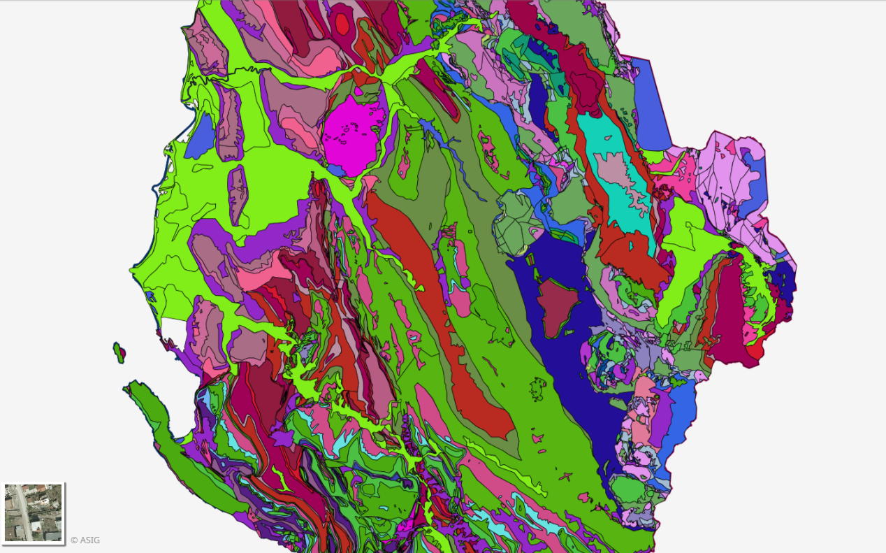
Graphic overview for Geological Map 1:200000
Geological Map 1:200000 Geological Map of the territory of the Republic of Albania Shk.1:200 000. The data were officially obtained from the Albanian … Albania Not specified Aug. 16, 2016 Albanian Geological Survey (AGS) Not specified copyright
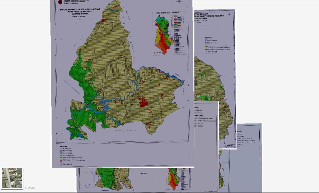
Graphic overview for Geological Zoning, Thematic Maps
Geological Zoning, Thematic Maps Zoning maps for the construction suitability of lands of 12 regions in the Republic of Albania constructed according to geological … Albania March 17, 2015 Albanian Geological Survey (AGS) copyright
🖼️
Geology, Geological maps Geological maps for the Republic of Albania. The data are officially obtained from the Albanian Geological Survey (SHGJSH). Albania Not specified None Albanian Geological Survey (AGS) Not specified copyright
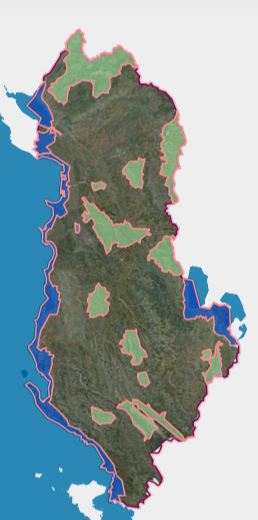
Graphic overview for KKT Decision No. 4, dated 14.10.2020, Priority Areas for Tourism Development in the Territory of the Republic of Albania
KKT Decision No. 4, dated 14.10.2020, Priority Areas for Tourism Development in the Territory of the Republic of Albania Priority Areas for Tourism Development in the Territory of the Republic of Albania, referring to the Decision of the National … Albania Dec. 2, 2025 Ministry of Tourism, Culture and Sports copyright
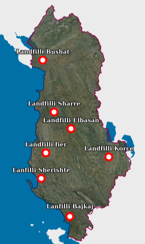
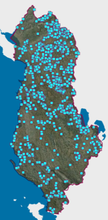
Graphic overview for Landfill
Landfill Waste Landfill – Each location of the respective landfill and the technical specifications specified in the relevant permit. The data … Albania Aug. 18, 2026 National Environmental Agency (NEA) copyright
Graphic overview for Map Nomenclature 1:10000
Map Nomenclature 1:10000 These are the data created by the digitalization of the 1:10000 scale topographic map frame, which are scanned, georeferenced and … Albania Oct. 13, 2020 State Authority for Geospatial Information (ASIG) copyright
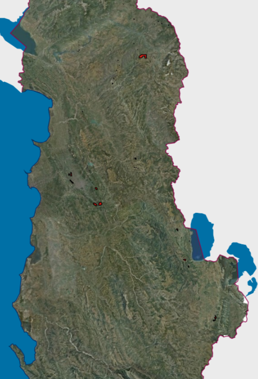
Graphic overview for Mineral Resources
Mineral Resources The Mineral Resources Map at a scale of 1:200,000 presents the main mineral resources of Albania. It was compiled by … Albania Jan. 1, 2016 National Agency of Natural Resources (NANR) copyright
Graphic overview for Mineral Resources, Hazardous Mining Areas VKM 347
Mineral Resources, Hazardous Mining Areas VKM 347 The Mineral Resources Map at a scale of 1:200,000 presents the main mineral resources of Albania. It was compiled by … Albania Jan. 1, 2016 National Agency of Natural Resources (NANR) copyright
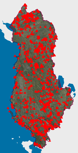
Graphic overview for Natural Monuments
Natural Monuments In accordance with LAW No. 81/2017 "On Protected Areas" The totality of environmental protected areas constitutes the national system of … Albania Not specified March 7, 2023 National Agency for Protected Areas (NAPA) Not specified copyright
Showing 10 of 317 records (filtered)
« first previous Page 4 of 32. next last »