Showing 10 of 271 records (filtered)
Applied filters: Country: Bosnia and Herzegovina × INSPIRE Theme: AD: Addresses × Clear all filters
« first previous Page 2 of 27. next last »
Preview
Title
Abstract
Country
INSPIRE Theme
Publication Date
Responsible Party
Topic Categories
Keywords
Access Constraints
Actions
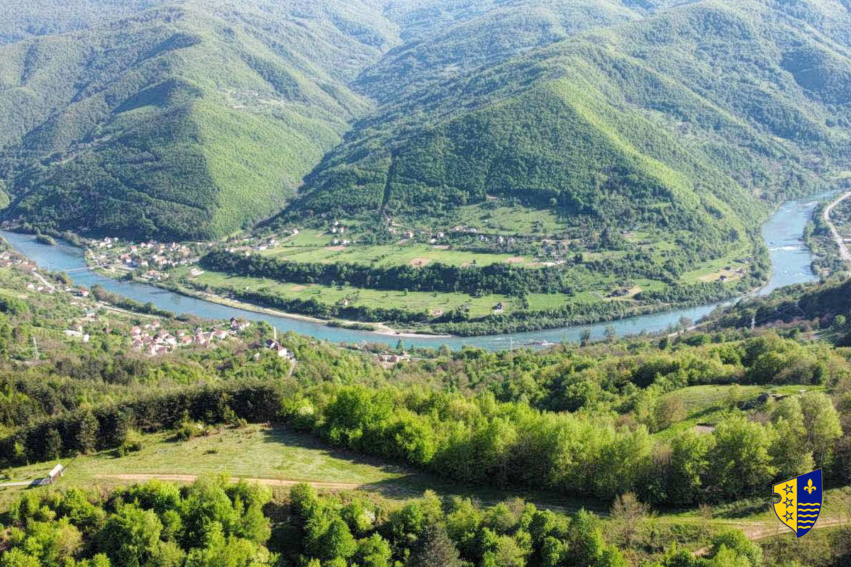
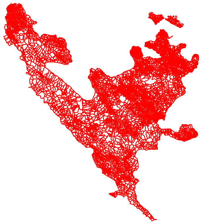
Graphic overview for Flood areas along category II watercourses in the Bosnian-Podrinje Canton of Goražde
Flood areas along category II watercourses in the Bosnian-Podrinje Canton of Goražde The Cantonal Operational Plan for Flood Protection determines the implementation of active flood protection measures during times of imminent danger … Bosnia and Herzegovina May 30, 2013 Ministry of Economy of the Bosnian-Podrinje Canton Goražde otherRestrictions
Graphic overview for Forest management basis for private forests of the Bosnian-Podrinje Canton Goražde
Forest management basis for private forests of the Bosnian-Podrinje Canton Goražde Data on private forests and forest land in the area of the Bosnian Podrinje Canton Goražde. Bosnia and Herzegovina None Cantonal Forestry Administration of the Bosnian-Podrinje Canton Goražde otherRestrictions
Graphic overview for Forestry basis for state forests of the Bosnian-Podrinje Canton Goražde
Forestry basis for state forests of the Bosnian-Podrinje Canton Goražde Data on state-owned forests and forest land in the territory of the Bosnian-Podrinje Canton Goražde. The validity date of the … Bosnia and Herzegovina None Cantonal Forestry Administration of the Bosnian-Podrinje Canton Goražde otherRestrictions
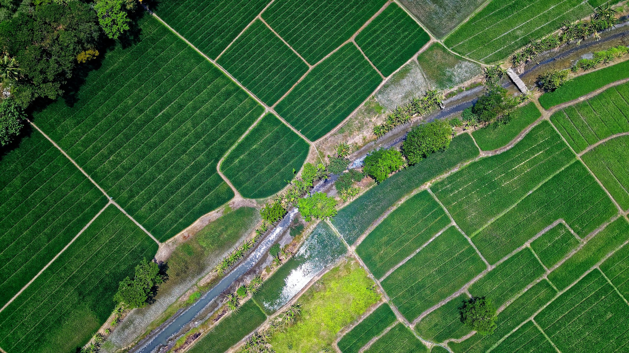
Graphic overview for Orthophoto 2017
Orthophoto 2017 Digital orthophoto images of the Sarajevo Canton area at a scale of 1:2500, created based on aerial photogrammetric imaging. The … Bosnia and Herzegovina Jan. 1, 2018 Federal Administration for Geodetic and Property Legal Affairs otherRestrictions
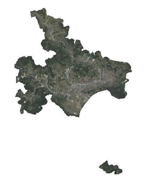
Graphic overview for Protected natural areas of Sarajevo Canton
Protected natural areas of Sarajevo Canton In the Cantonal Public Institution for Protected Natural Areas, the implementation of GIS software began in 2020 when the Gauss … Bosnia and Herzegovina Jan. 1, 2020 Cantonal Public Institution for Protected Natural Areas Sarajevo otherRestrictions
Graphic overview for Records on agricultural land that has changed its use
Records on agricultural land that has changed its use The change of use of agricultural land for non-agricultural purposes is carried out in accordance with spatial planning plans and … Bosnia and Herzegovina None Ministry of Agriculture, Forestry and Water Management of Zenica-Doboj Canton otherRestrictions
Graphic overview for Register of spatial units
Register of spatial units Units for distribution or use of statistical information. The register of spatial units is a record in which data on … Bosnia and Herzegovina None Federal Statistical Office otherRestrictions
🖼️
Regulatory plan "Pudin Han" Kljuc The "Puidin Han" Ključ Regulatory Plan for the period 2025 to 2035 is a binding detailed planning document that defines … Bosnia and Herzegovina March 3, 2025 Municipality of Ključ otherRestrictions
Graphic overview for Regulatory plan "Stup Nedžarići"
Regulatory plan "Stup Nedžarići" The detailed planning document, the Regulatory Plan "Stup Nedžarići", is based on the adopted land use policy, development strategies and … Bosnia and Herzegovina May 28, 2002 Sarajevo Canton Development Planning Institute otherRestrictions
🖼️
Regulatory plan Business zone "Vranjska" Bosanska Krupa The Regulatory Plan for the Business Zone "Vranjska" Bosanska Krupa for the period 2025 to 2035 is a binding detailed … Bosnia and Herzegovina Oct. 31, 2025 City of Bosanska Krupa otherRestrictions
Showing 10 of 271 records (filtered)
« first previous Page 2 of 27. next last »