Showing 10 of 224 records (filtered)
Applied filters: Country: Bosnia and Herzegovina × INSPIRE Theme: EL: Elevation × Clear all filters
« first previous Page 4 of 22. next last »
Preview
Title
Abstract
Country
INSPIRE Theme
Publication Date
Responsible Party
Topic Categories
Keywords
Access Constraints
Actions
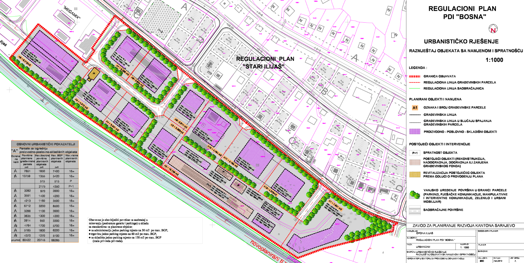
Graphic overview for Amendments to the regulatory plan "PDI - Bosnia"
Amendments to the regulatory plan "PDI - Bosnia" The area of 6.5 ha, included by the Plan boundary, is located on the right side of the Bosna River, … Bosnia and Herzegovina Nov. 30, 2017 Sarajevo Canton Development Planning Institute other Restrictions
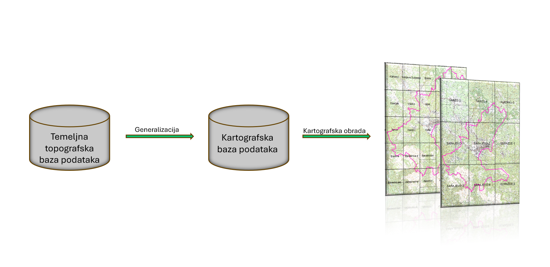
Graphic overview for Basic topographical database of Sarajevo Canton
Basic topographical database of Sarajevo Canton The basic topographic database of the scale 1:10,000 contains detailed information about the relief, hydrological objects, vegetation, infrastructure and other … Bosnia and Herzegovina July 1, 2024 Sarajevo Canton Development Planning Institute other Restrictions
Graphic overview for Database of Expert Opinions of the Sarajevo Canton
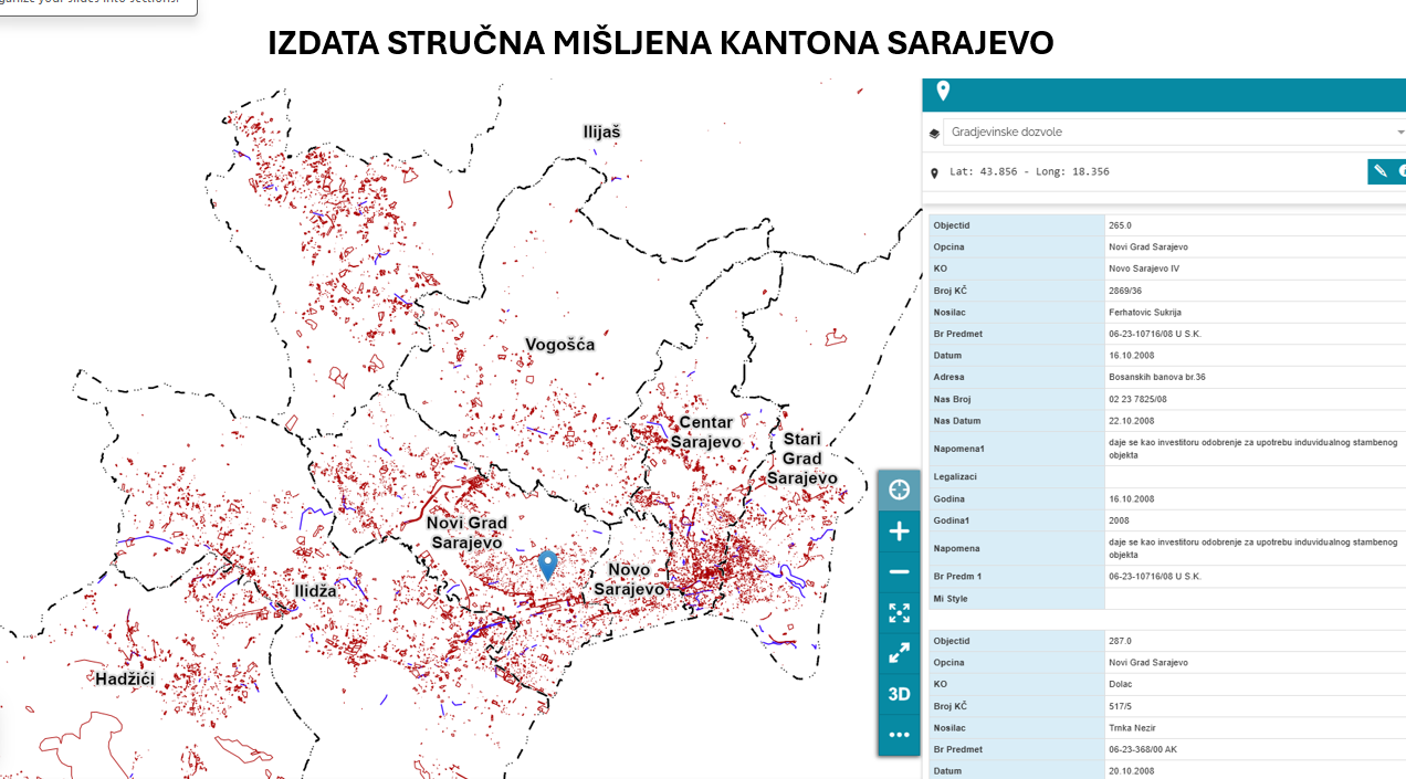
Database of Expert Opinions of the Sarajevo Canton An expert opinion is an act of expert institutions, public companies or competent authorities confirming that the planned construction is … Bosnia and Herzegovina Jan. 1, 2007 Sarajevo Canton Development Planning Institute other Restrictions
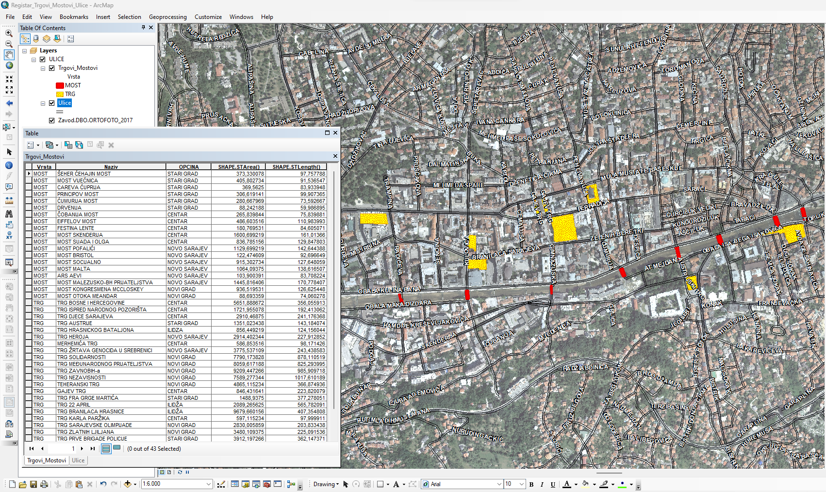
Graphic overview for Database of streets, squares and bridges
Database of streets, squares and bridges The Register of Streets, Squares and Bridges of the Sarajevo Canton contains the names of streets, squares and bridges classified … Bosnia and Herzegovina Jan. 1, 2015 Sarajevo Canton Development Planning Institute other Restrictions
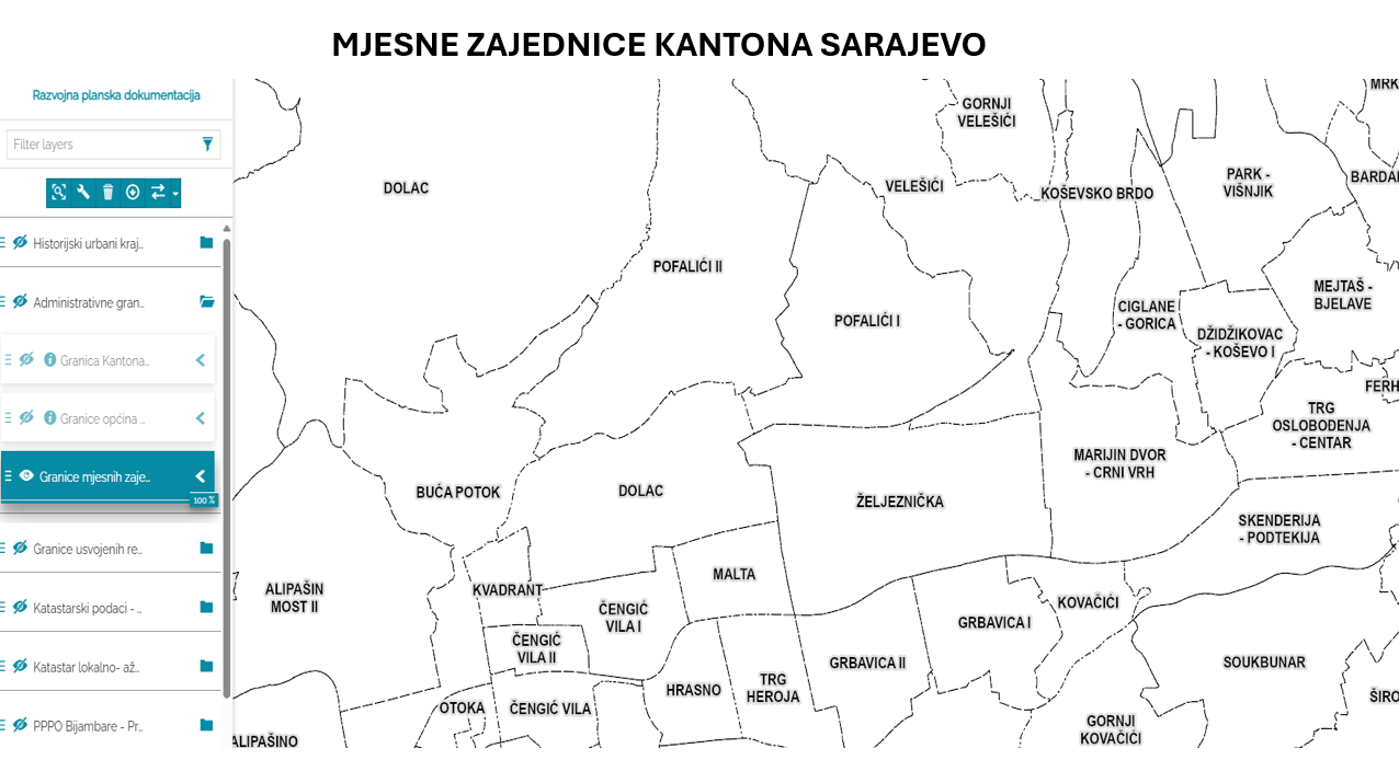
Graphic overview for Database of the boundaries of local communities of the Sarajevo Canton
Database of the boundaries of local communities of the Sarajevo Canton Within the local self-government system in the Sarajevo Canton, the local community is a mandatory and closest form of organizing … Bosnia and Herzegovina Jan. 1, 2003 Sarajevo Canton Development Planning Institute other Restrictions
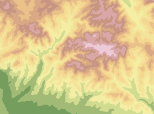
Graphic overview for Digital terrain model 25m
Digital terrain model 25m Digital terrain model of BiH area. The terrain model was mostly created by digitizing existing topographic maps 1:25000, as well … Bosnia and Herzegovina Jan. 1, 2003 Federal Administration for Geodetic and Property Legal Affairs other Restrictions
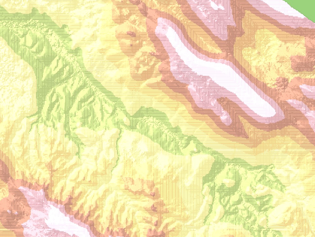
Graphic overview for Digital terrain model 50m
Digital terrain model 50m Digital terrain model of the FBiH area. The terrain model was created as part of the aerial photogrammetric survey of … Bosnia and Herzegovina Jan. 1, 2009 Federal Administration for Geodetic and Property Legal Affairs other Restrictions
Graphic overview for Digital terrain model 5m
Digital terrain model 5m Digital terrain model of the territory of Bosnia and Herzegovina. The terrain model was created within the framework of aerial … Bosnia and Herzegovina Jan. 1, 2013 Federal Administration for Geodetic and Property Legal Affairs other Restrictions
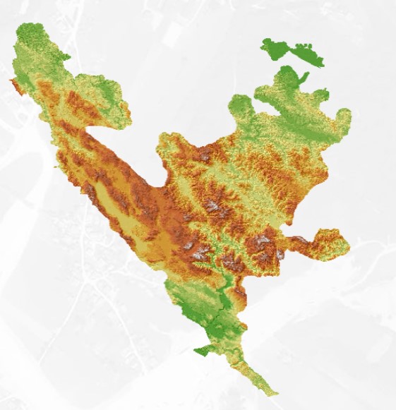
Graphic overview for Digital terrain model of Sarajevo Canton
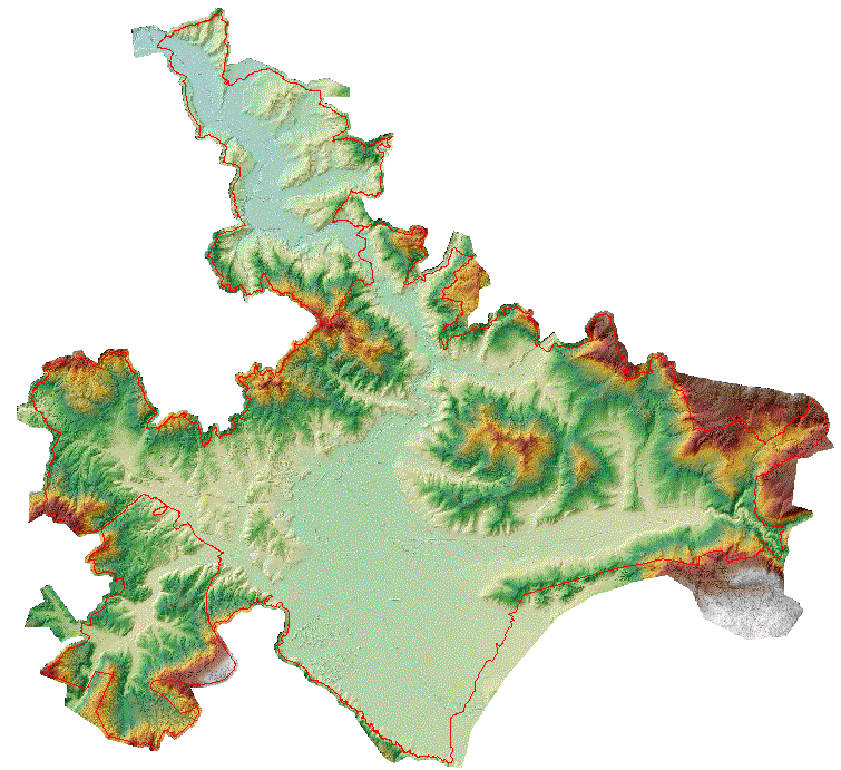
Digital terrain model of Sarajevo Canton The digital terrain model shows the terrain with all its relief characteristics in a three-dimensional perspective, for the purpose of … Bosnia and Herzegovina None Ministry of Physical Planning and Environmental Protection of Sarajevo Canton other Restrictions
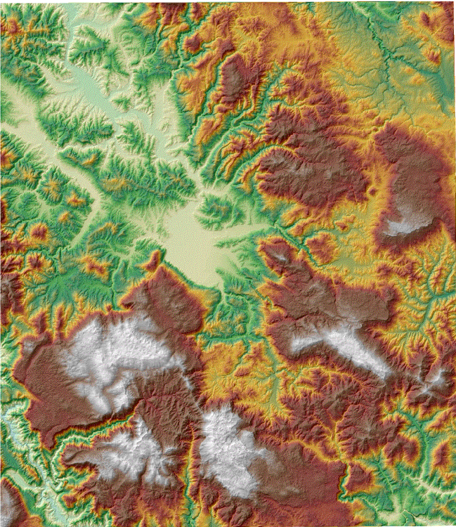
Graphic overview for Digital terrain model of the urban area of the Sarajevo Canton
Digital terrain model of the urban area of the Sarajevo Canton A digital terrain model is a set of positionally and height-determined points and geometric elements that display the terrain with … Bosnia and Herzegovina None Sarajevo Canton Development Planning Institute other Restrictions
Showing 10 of 224 records (filtered)
« first previous Page 4 of 22. next last »