Showing 4 of 4 records (filtered)
Applied filters: Country: Bosnia and Herzegovina × Keywords: stability × INSPIRE Theme: GE: Geology × Clear all filters
Preview
Title
Abstract
Country
INSPIRE Theme
Publication Date
Responsible Party
Topic Categories
Keywords
Access Constraints
Actions
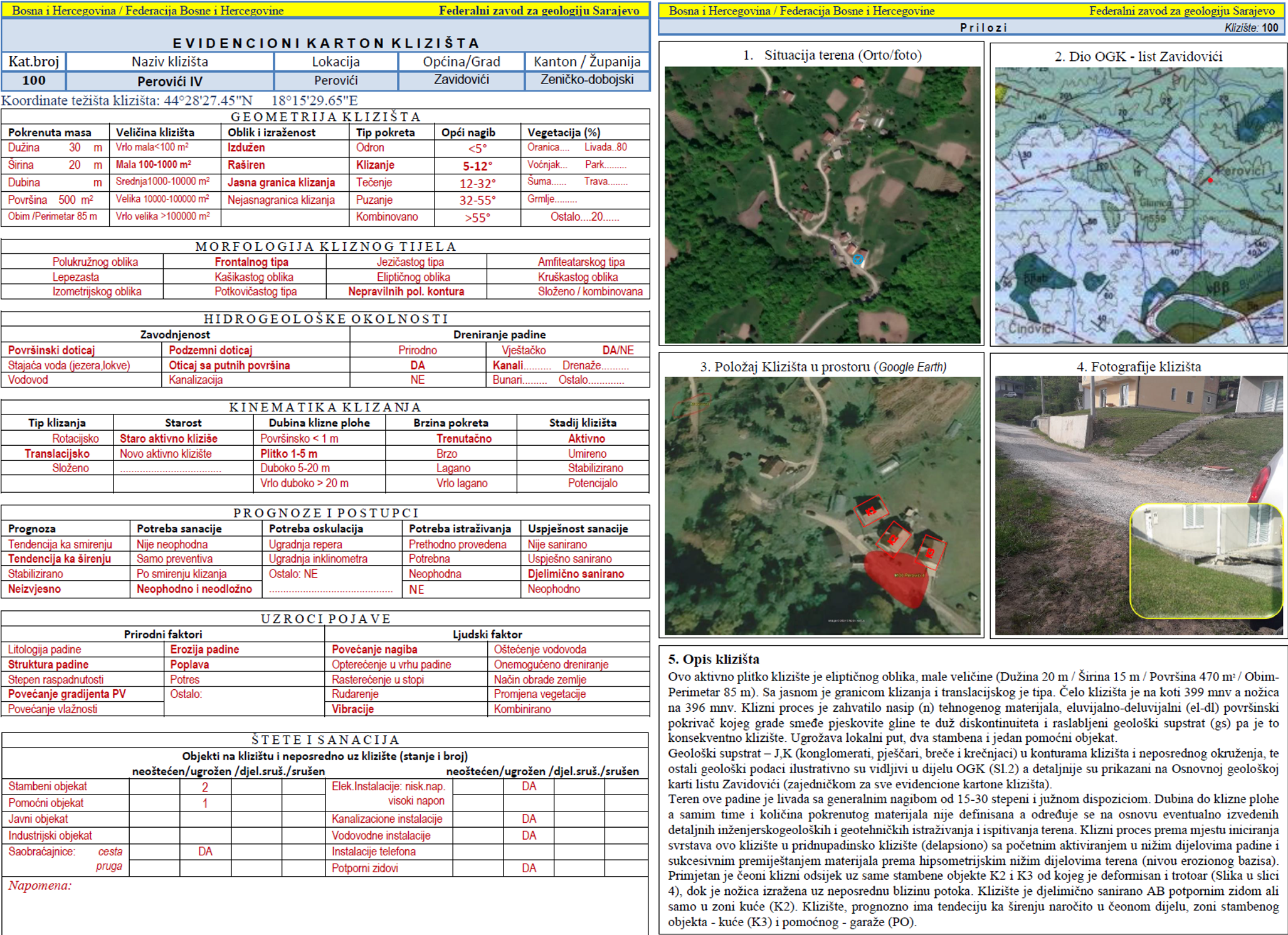
Graphic overview for Landslide Cadastre of the Federation of Bosnia and Herzegovina
Landslide Cadastre of the Federation of Bosnia and Herzegovina The Landslide Cadastre of the Federation of Bosnia and Herzegovina represents a central database of registered landslides in the territory … Bosnia and Herzegovina None Federal Institute of Geology otherRestrictions
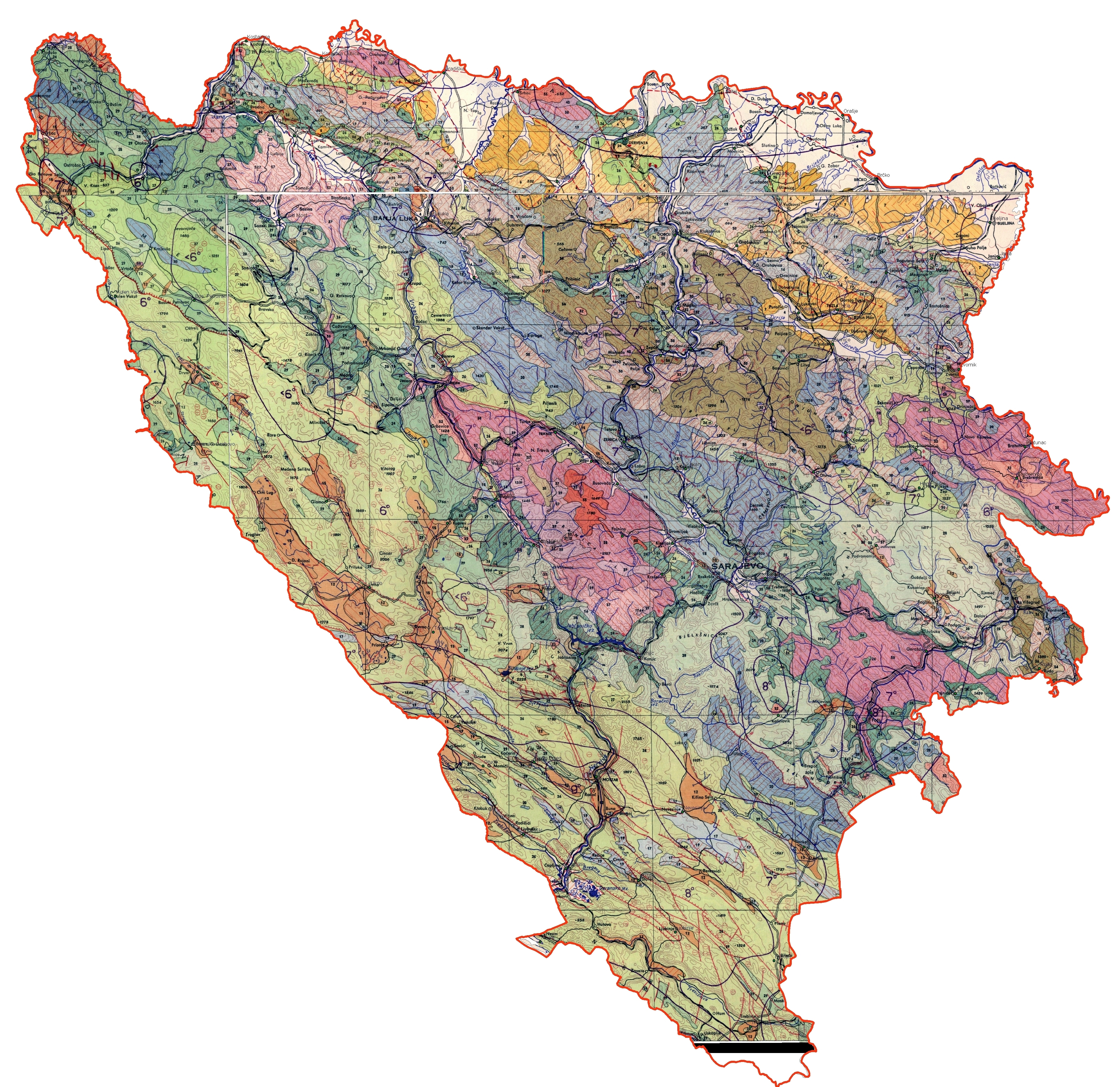
Graphic overview for Engineering-geological map of Bosnia and Herzegovina
Engineering-geological map of Bosnia and Herzegovina The engineering geological map of FBiH is characterized by a distinct diversity of lithostratigraphic composition (rocks and rock complexes are … Bosnia and Herzegovina None Federal Institute of Geology other Restrictions
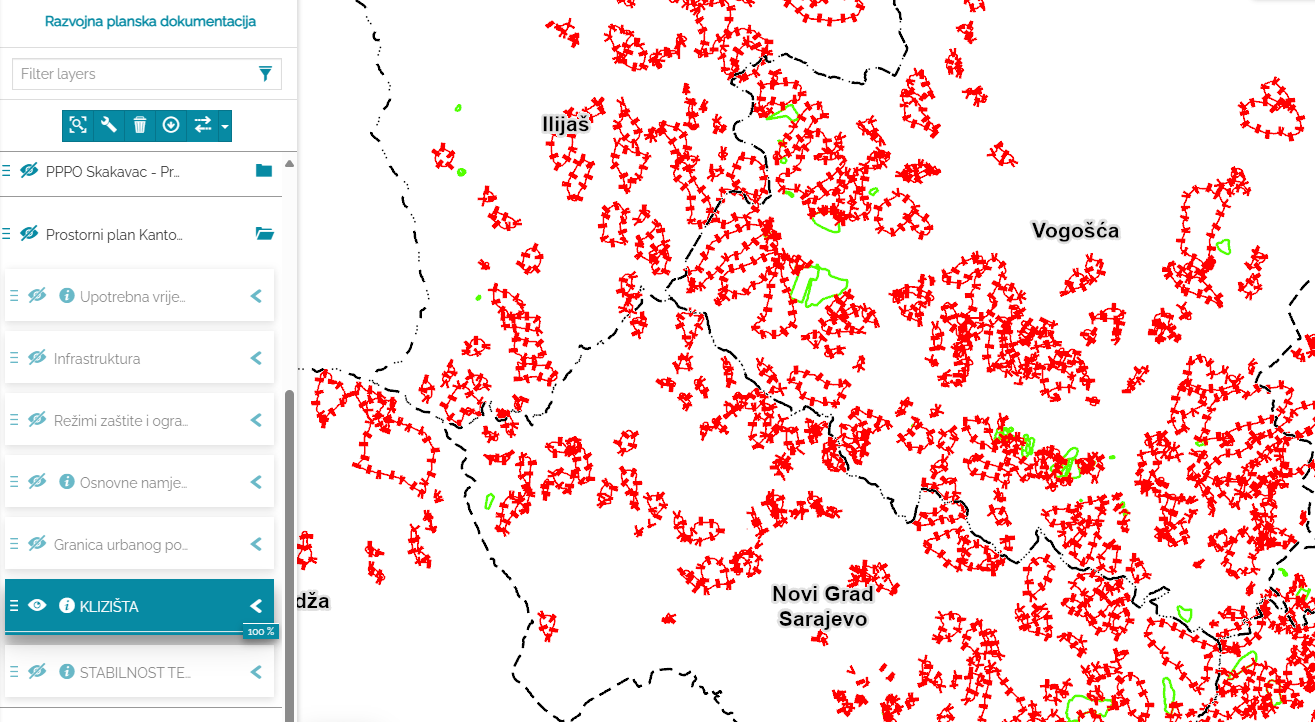
Graphic overview for Sarajevo Canton Landslide Database
Sarajevo Canton Landslide Database Landslides are natural geodynamic processes in which a mass of soil, rock or crushed material moves down a slope under … Bosnia and Herzegovina None Ministry of Spatial Planning and Environmental Protection other Restrictions
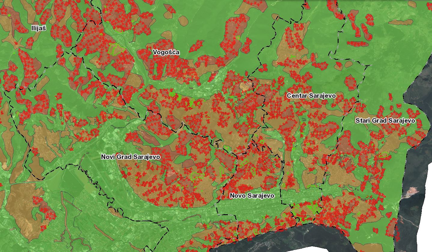
Graphic overview for Study of the terrain stability of Sarajevo Canton
Study of the terrain stability of Sarajevo Canton The Sarajevo Canton Terrain Stability Study was conducted for the needs of the Sarajevo Canton Spatial Plan 2003 - 2023. … Bosnia and Herzegovina None Ministry of Spatial Planning and Environmental Protection other Restrictions
Showing 4 of 4 records (filtered)