Showing 11 of 11 records (filtered)
Applied filters: Country: Bosnia and Herzegovina × Keywords: Hydrography × INSPIRE Theme: HB: Habitats and Biotopes × Clear all filters
Preview
Title
Abstract
Country
INSPIRE Theme
Publication Date
Responsible Party
Topic Categories
Keywords
Access Constraints
Actions
Graphic overview for Flood areas along category II watercourses in the Bosnian-Podrinje Canton of Goražde
Flood areas along category II watercourses in the Bosnian-Podrinje Canton of Goražde The Cantonal Operational Plan for Flood Protection determines the implementation of active flood protection measures during times of imminent danger … Bosnia and Herzegovina May 30, 2013 Ministry of Economy of the Bosnian-Podrinje Canton Goražde otherRestrictions
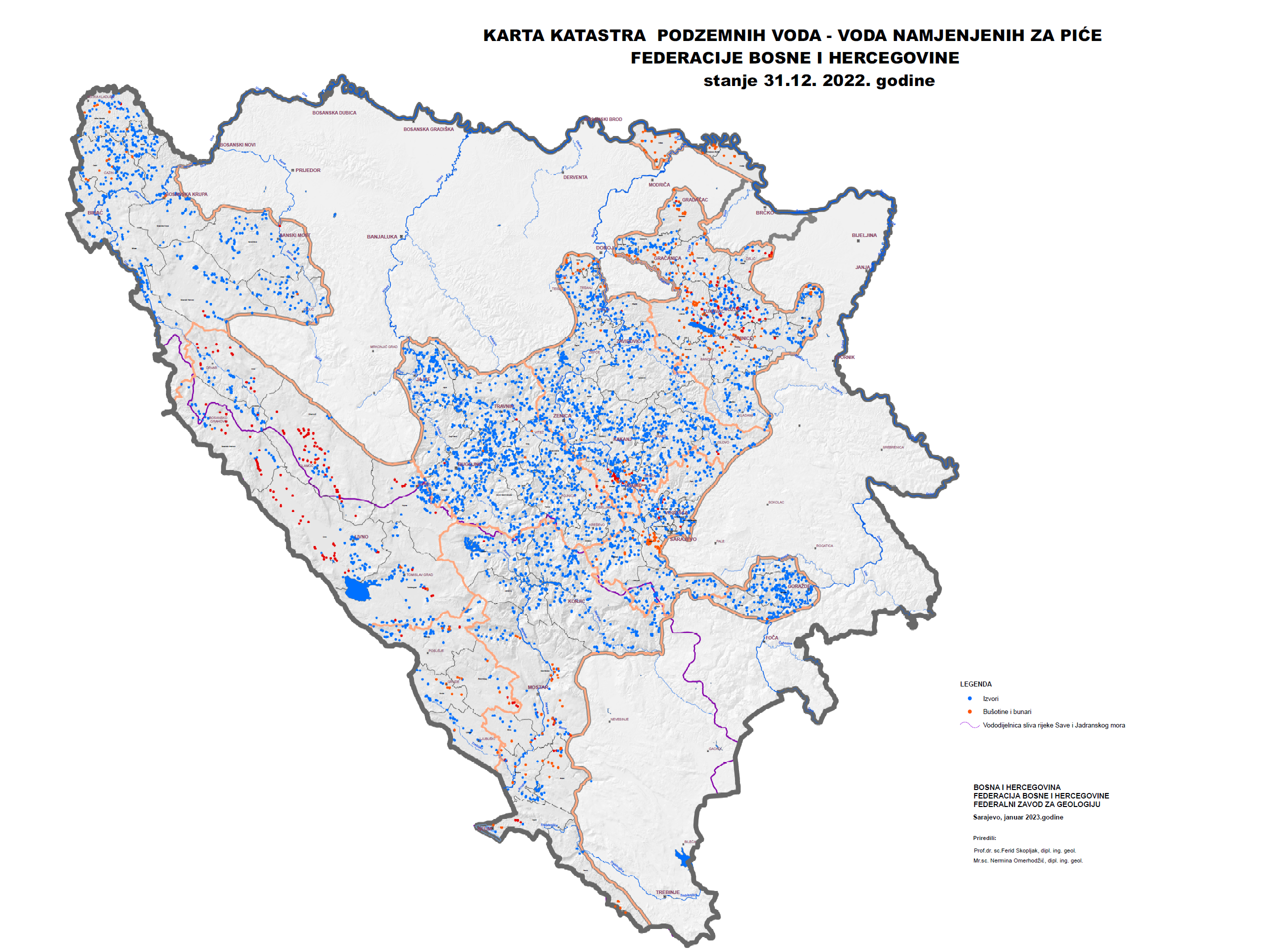
Graphic overview for Groundwater Cadastre of the Federation of Bosnia and Herzegovina
Groundwater Cadastre of the Federation of Bosnia and Herzegovina The Groundwater Register of the Federation of Bosnia and Herzegovina is a comprehensive document that includes cadastral lists of groundwater … Bosnia and Herzegovina None Federal Institute of Geology otherRestrictions
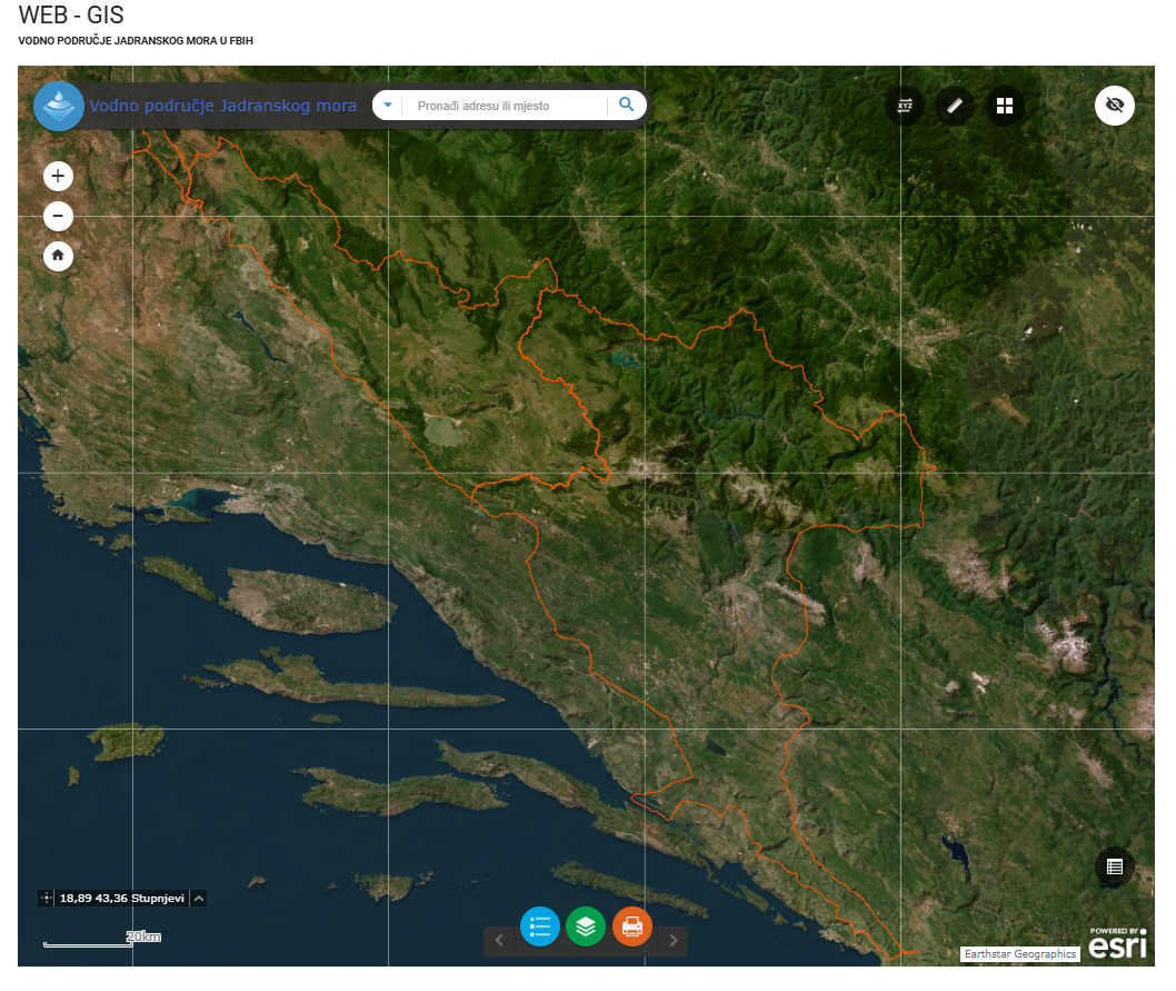
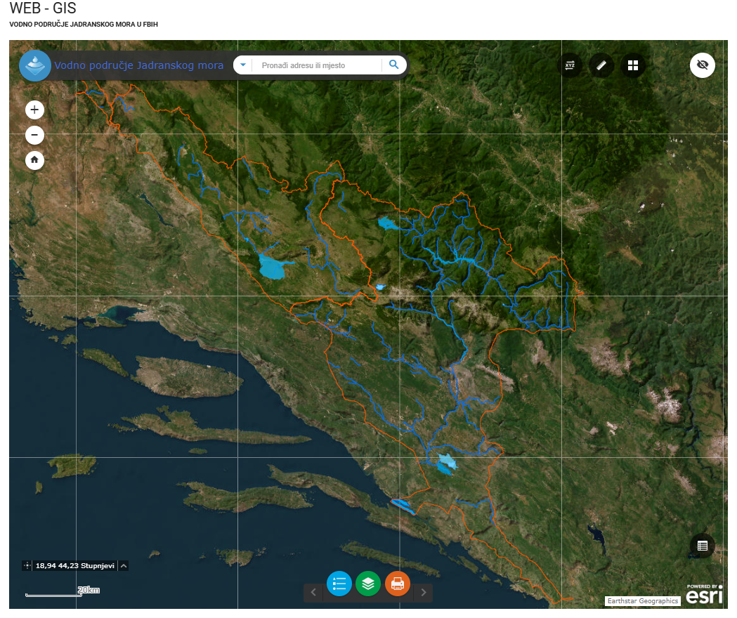
Graphic overview for River basins AVP Adriatic Sea
River basins AVP Adriatic Sea The surface of the land from which all surface runoff flows through a network of streams, rivers and possibly lakes … Bosnia and Herzegovina Jan. 1, 2008 Agency for the Adriatic Sea Water Area otherRestrictions
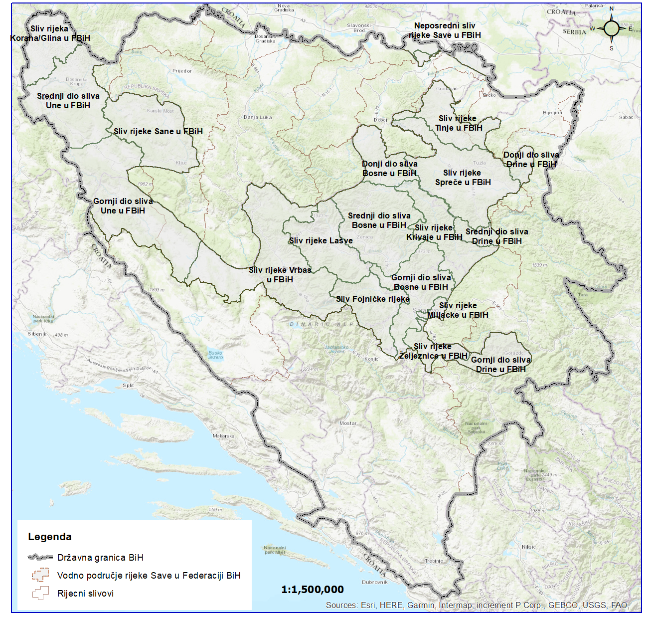
Graphic overview for River basins of the Sava River Basin
River basins of the Sava River Basin The area of land from which all surface runoff drains through a network of streams, rivers and eventually lakes towards … Bosnia and Herzegovina Jan. 1, 2008 Sava River Basin Agency otherRestrictions
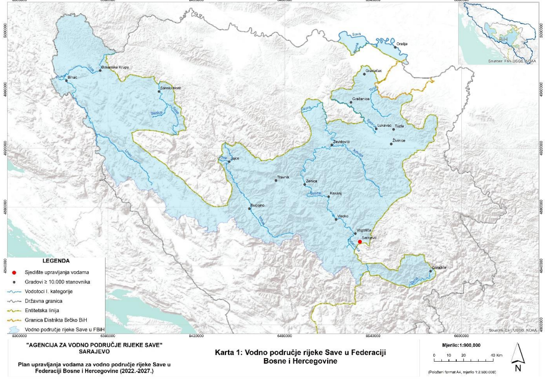
Graphic overview for Sava River Water Area
Sava River Water Area This dataset represents the Sava River basin in the Federation of Bosnia and Herzegovina. Bosnia and Herzegovina Jan. 1, 2008 Sava River Basin Agency otherRestrictions
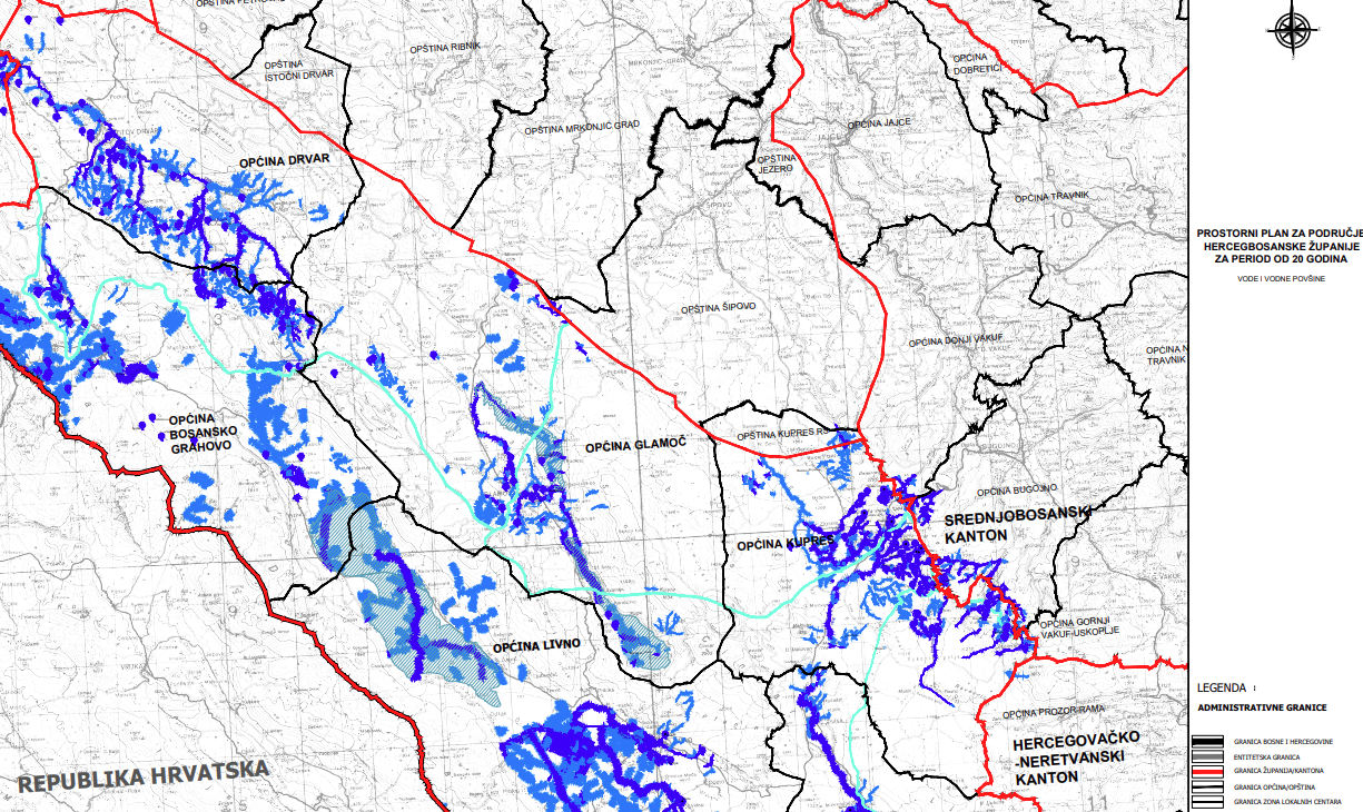
Graphic overview for Spatial plan of Herceg-Bosnia County for a period of 20 years
Spatial plan of Herceg-Bosnia County for a period of 20 years The Spatial Plan of the Herzeg-Bosnia County is a mandatory planning document for the territory of the County, which regulates … Bosnia and Herzegovina Jan. 1, 2023 Ministry of Construction, Reconstruction, Spatial Planning and Environmental Protection of Herceg-Bosnia County otherRestrictions
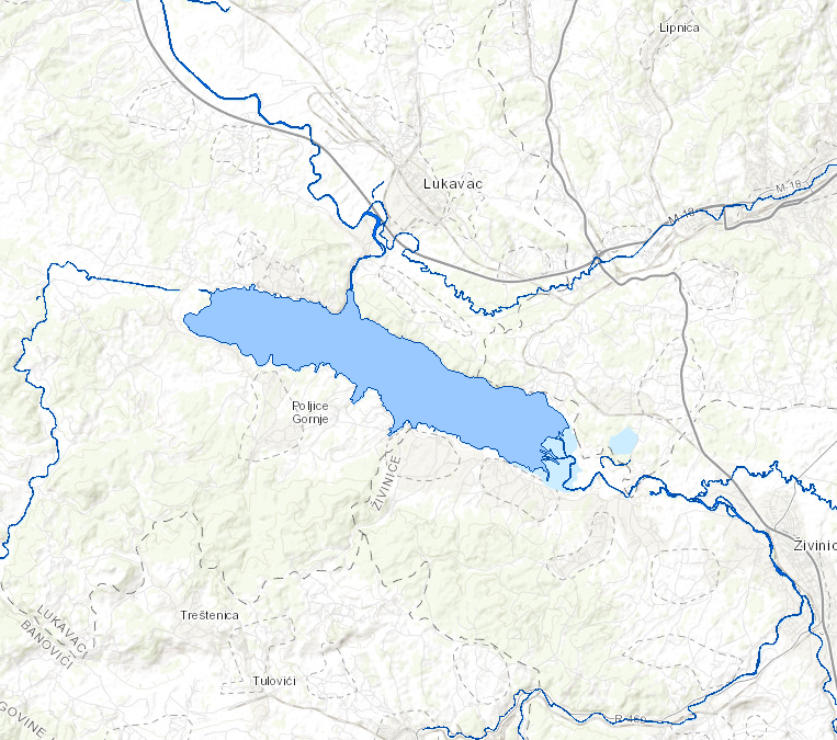
Graphic overview for Standing waters of the Sava River
Standing waters of the Sava River This data set contains all stagnant waters (lakes, ponds, wetlands and reservoirs) in the Sava river basin managed by AVP … Bosnia and Herzegovina Jan. 1, 2008 Sava River Basin Agency otherRestrictions
Graphic overview for Water area of the Adriatic Sea
Water area of the Adriatic Sea This dataset represents the Adriatic Sea water area in the Federation of Bosnia and Herzegovina. Bosnia and Herzegovina Jan. 1, 2008 Agency for the Adriatic Sea Water Area otherRestrictions
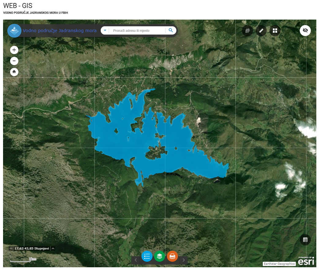
Graphic overview for Water stills AVP Adriatic Sea
Water stills AVP Adriatic Sea This data set contains all standing water (lakes, ponds, wetlands and reservoirs) in the Adriatic Sea catchment area managed by … Bosnia and Herzegovina Jan. 1, 2008 Agency for the Adriatic Sea Water Area otherRestrictions
Graphic overview for Water structures AVP Adriatic Sea
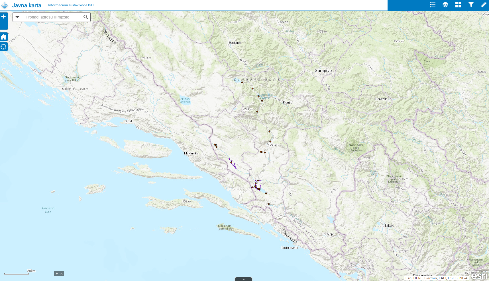
Water structures AVP Adriatic Sea Water structures represent longitudinal water structures: embankments, and transverse water structures: dams, dams, pumping stations, flood defense centers in the … Bosnia and Herzegovina Jan. 1, 2008 Agency for the Adriatic Sea Water Area otherRestrictions
Graphic overview for Water structures of the Sava River
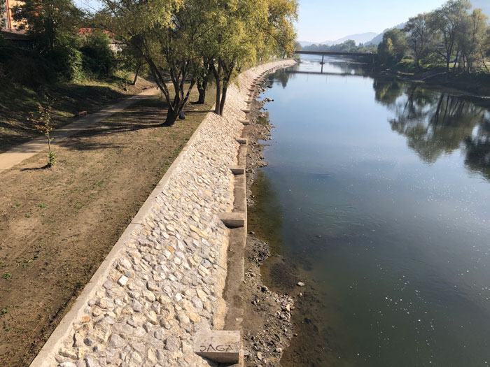
Water structures of the Sava River Water structures are longitudinal water structures: embankments, and transverse water structures: dams, weirs, pumping stations, flood protection centers in the … Bosnia and Herzegovina None Sava River Basin Agency otherRestrictions
Showing 11 of 11 records (filtered)