Showing 10 of 231 records (filtered)
Applied filters: Country: Bosnia and Herzegovina × INSPIRE Theme: HY: Hydrography × Clear all filters
« first previous Page 2 of 23. next last »
Preview
Title
Abstract
Country
INSPIRE Theme
Publication Date
Responsible Party
Topic Categories
Keywords
Access Constraints
Actions
Graphic overview for Regulatory plan "Stup Nedžarići"
Regulatory plan "Stup Nedžarići" The detailed planning document, the Regulatory Plan "Stup Nedžarići", is based on the adopted land use policy, development strategies and … Bosnia and Herzegovina May 28, 2002 Sarajevo Canton Development Planning Institute otherRestrictions
Graphic overview for Regulatory plan of the "Igman Sports and Recreation Area"
Regulatory plan of the "Igman Sports and Recreation Area" The detailed planning document, the Regulatory Plan of the "Sports and Recreational Area of Bjelašnica", is based on the adopted … Bosnia and Herzegovina Feb. 11, 1982 Sarajevo Canton Development Planning Institute otherRestrictions
Graphic overview for Regulatory plan of the "Sports and Recreational Area of Bjelašnica"
Regulatory plan of the "Sports and Recreational Area of Bjelašnica" The detailed planning document, the Regulatory Plan of the "Sports and Recreational Area of Bjelašnica", is based on the adopted … Bosnia and Herzegovina Feb. 11, 1982 Sarajevo Canton Development Planning Institute otherRestrictions
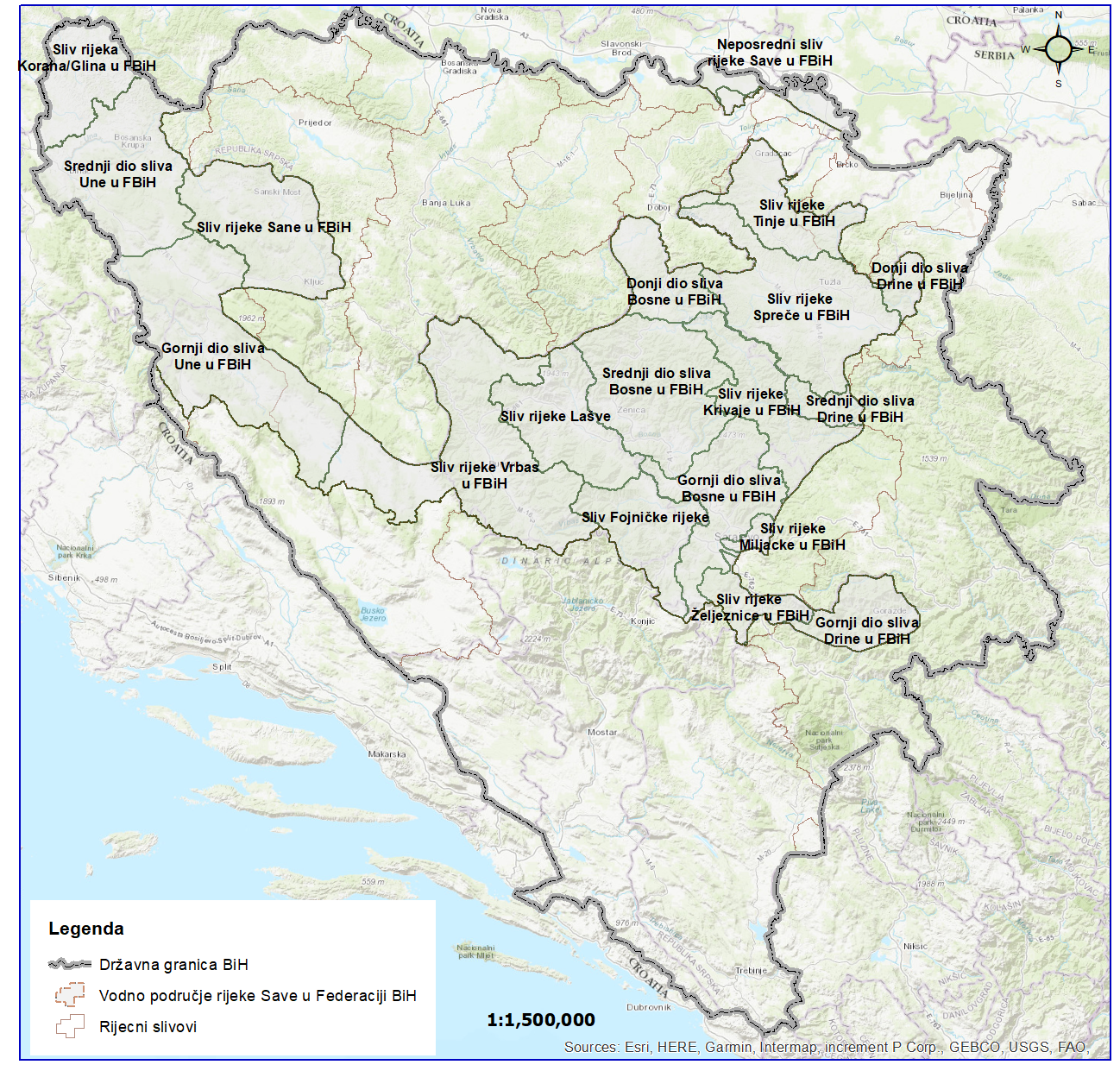
Graphic overview for River basins of the Sava River Basin
River basins of the Sava River Basin The area of land from which all surface runoff drains through a network of streams, rivers and eventually lakes towards … Bosnia and Herzegovina Jan. 1, 2008 Sava River Basin Agency otherRestrictions
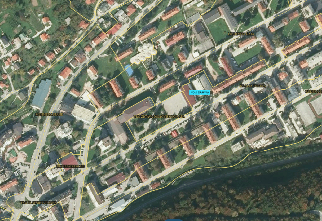
Graphic overview for SBK/KSB address register
SBK/KSB address register Aggregate database of addresses from local government units of the KSB/KSF. Bosnia and Herzegovina Jan. 1, 2016 Administration for geodetic and property-legal affairs SBK/KSB otherRestrictions
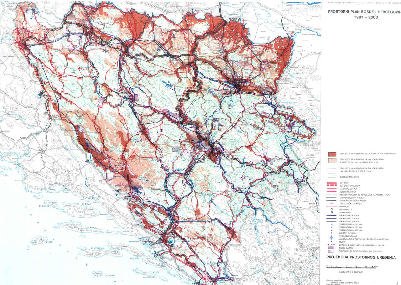
Graphic overview for Spatial plan of Bosnia and Herzegovina for the period from 1981 to 2000
Spatial plan of Bosnia and Herzegovina for the period from 1981 to 2000 The Spatial Plan of Bosnia and Herzegovina for the period from 1981 to 2000 was adopted by the Assembly of … Bosnia and Herzegovina Jan. 1, 1982 Federal Ministry of Physical Planning otherRestrictions
🖼️
Spatial plan of Kiseljak Municipality 2006-2026 The general goals of spatial development of the Municipality of Kiseljak are aligned with the stated goals: to harmonize the … Bosnia and Herzegovina Jan. 1, 2008 Institute for Urbanism, Spatial Planning and Protection of Cultural and Historical Heritage of the Central Bosnia Canton otherRestrictions
🖼️
Spatial plan of the Municipality of Bugojno Plan adopted in 1984. Validity period: until the adoption of a new spatial plan Bosnia and Herzegovina Sept. 20, 1984 Institute for Urbanism, Spatial Planning and Protection of Cultural and Historical Heritage of the Central Bosnia Canton otherRestrictions
🖼️
Spatial plan of the Municipality of Busovača until 2026 The municipality of Busovača, together with the municipalities of Travnik, Novi Travnik and Vitez, belongs to the Lašva Formation. The … Bosnia and Herzegovina Sept. 23, 2008 Institute for Urbanism, Spatial Planning and Protection of Cultural and Historical Heritage of the Central Bosnia Canton otherRestrictions
🖼️
Spatial plan of the Municipality of Dobretici 2007 - 2027 The development of the Spatial Plan of the Municipality of Dobretici represents the first planning document that will be the … Bosnia and Herzegovina None Institute for Urbanism, Spatial Planning and Protection of Cultural and Historical Heritage of the Central Bosnia Canton otherRestrictions
Showing 10 of 231 records (filtered)
« first previous Page 2 of 23. next last »