Showing 15 of 15 records (filtered)
Applied filters: Country: Bosnia and Herzegovina × INSPIRE Theme: OI: Orthoimagery × Clear all filters
Preview
Title
Abstract
Country
INSPIRE Theme
Publication Date
Responsible Party
Topic Categories
Keywords
Access Constraints
Actions
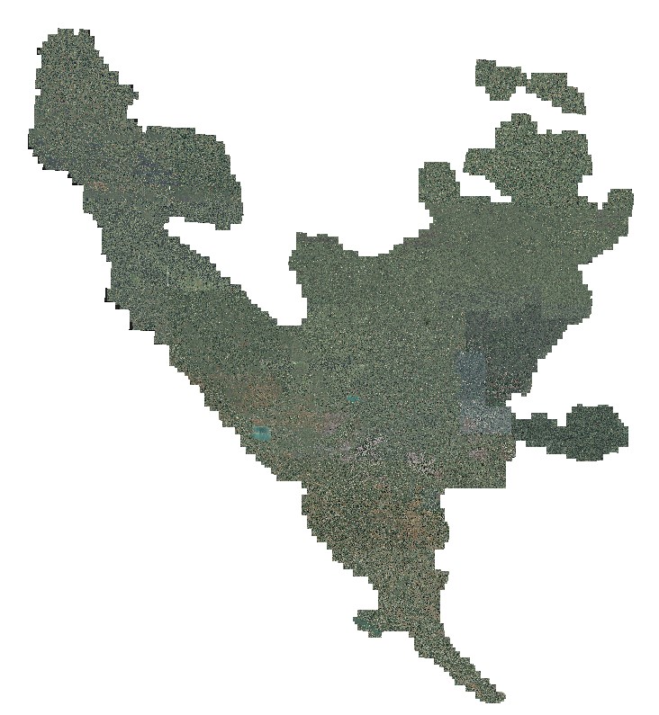
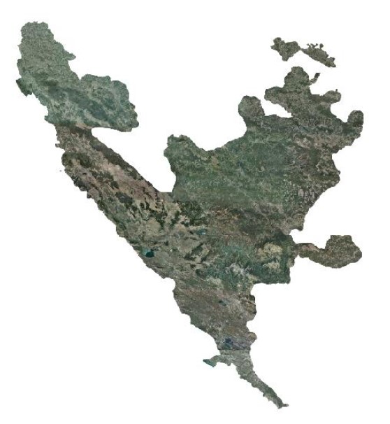
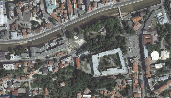
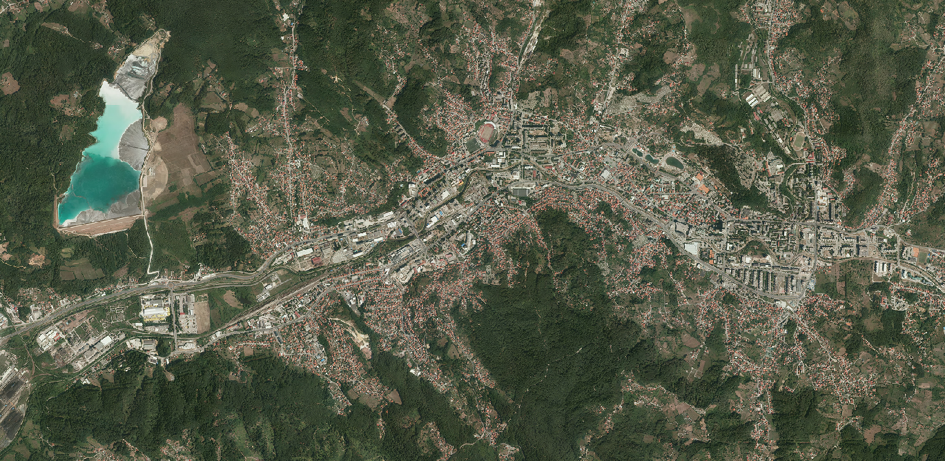
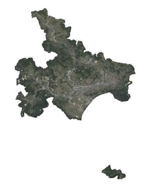
Graphic overview for Orthophoto 2017
Orthophoto 2017 Digital orthophoto images of the Sarajevo Canton area at a scale of 1:2500, created based on aerial photogrammetric imaging. The … Bosnia and Herzegovina Jan. 1, 2018 Federal Administration for Geodetic and Property Legal Affairs otherRestrictions
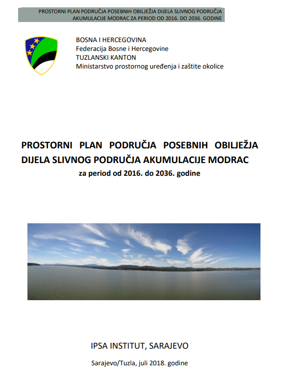
Graphic overview for Spatial plan for the area of special characteristics of part of the Modrac reservoir catchment area for the period 2016-2036.
Spatial plan for the area of special characteristics of part of the Modrac reservoir catchment area for the period 2016-2036. The Spatial Plan for the Area of Special Characteristics of the Part of the Modrac Reservoir Basin for the Period … Bosnia and Herzegovina Jan. 1, 2023 Ministry of Physical Planning and Environmental Protection of Tuzla Canton otherRestrictions
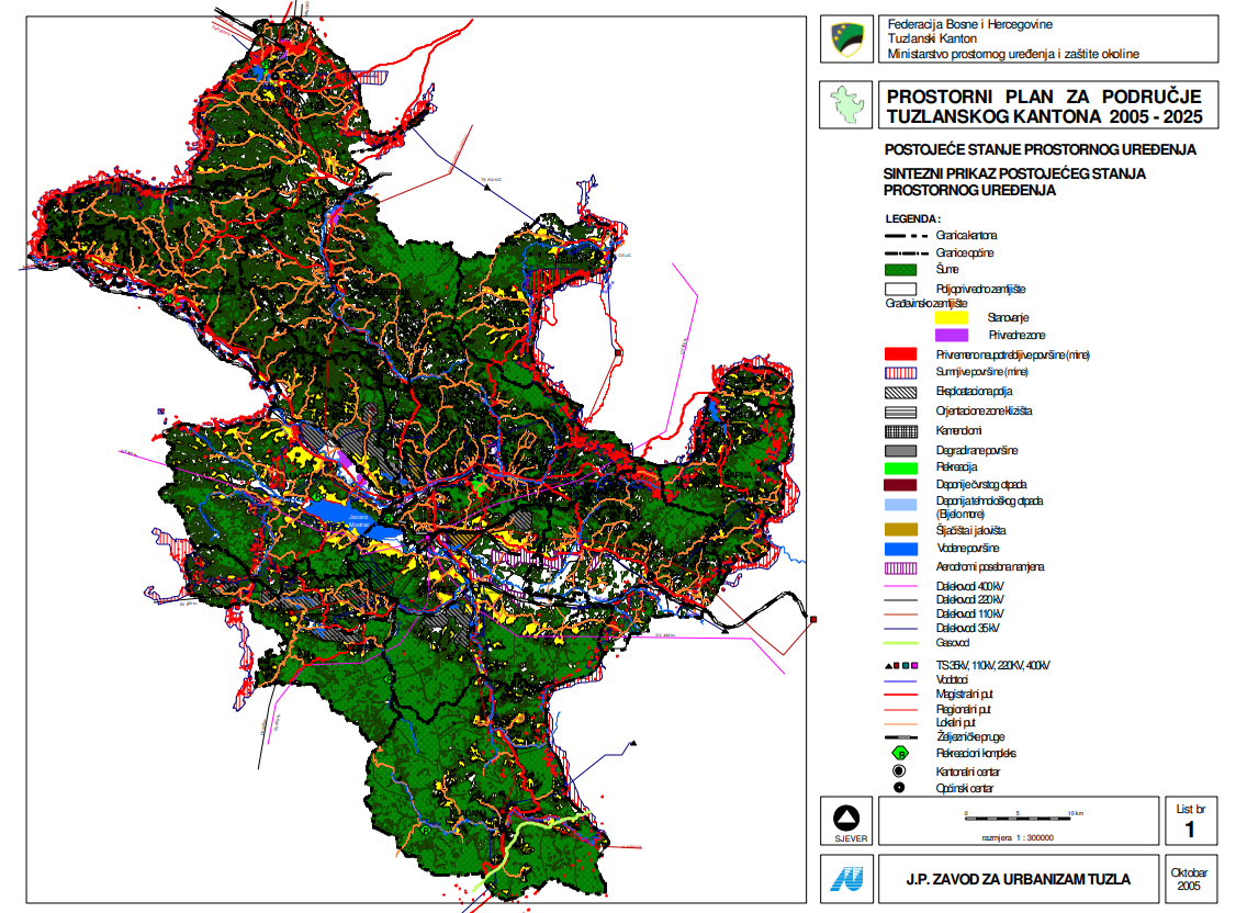
Graphic overview for Spatial plan for the area of Tuzla Canton 2005-2025.
Spatial plan for the area of Tuzla Canton 2005-2025. The Spatial Plan for the Tuzla Canton 2005-2025 is a binding planning document that guides the development of cities/municipalities, i.e. … Bosnia and Herzegovina None Ministry of Physical Planning and Environmental Protection of the Canton of Tuzla otherRestrictions
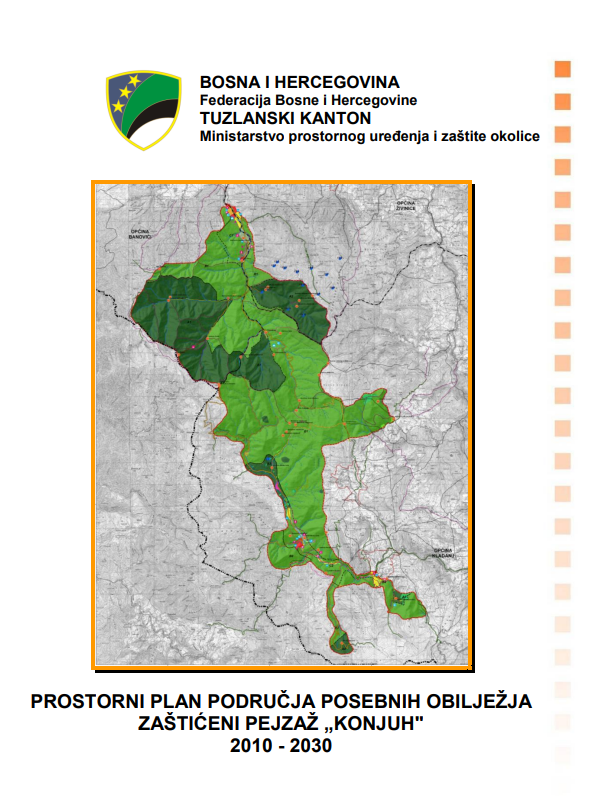
Graphic overview for Spatial plan of the area of special characteristics protected landscape Konjuh for the period 2010-2030.
Spatial plan of the area of special characteristics protected landscape Konjuh for the period 2010-2030. By declaring part of the Konjuh mountain to the category of protected landscape, the preconditions have been created for the … Bosnia and Herzegovina July 17, 2013 Ministry of Physical Planning and Environmental Protection of the Canton of Tuzla otherRestrictions
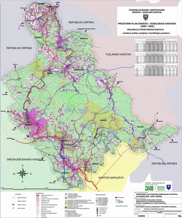
Graphic overview for Spatial Plan of Zenica-Doboj Canton 2009-2029.
Spatial Plan of Zenica-Doboj Canton 2009-2029. The Spatial Plan of the Zenica-Doboj Canton is the first mandatory planning document for the territory of the Canton, which … Bosnia and Herzegovina Feb. 20, 2009 Institute for Urban Planning and Spatial Development of Zenica-Doboj Canton otherRestrictions
Graphic overview for Urban project of the Karaotok tourist zone
Urban project of the Karaotok tourist zone The scope of the urban project "Karaotok" is located in the use zone and is defined as a tourist zone … Bosnia and Herzegovina Aug. 2, 2022 Ministry of Construction and Spatial Planning of Herzegovina-Neretva Canton/County otherRestrictions
Graphic overview for Digital orthophoto 2018 (LiDAR project)
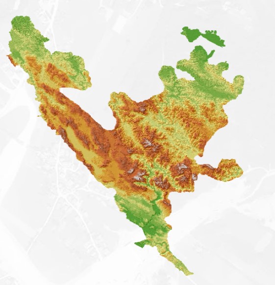
Digital orthophoto 2018 (LiDAR project) Within the project "Development of flood hazard and risk maps" in Bosnia and Herzegovina, one of the planned activities was … Bosnia and Herzegovina None Federal Administration for Geodetic and Property Legal Affairs other Restrictions
Graphic overview for Digital terrain model 25m
Digital terrain model 25m Digital terrain model of BiH area. The terrain model was mostly created by digitizing existing topographic maps 1:25000, as well … Bosnia and Herzegovina Jan. 1, 2003 Federal Administration for Geodetic and Property Legal Affairs other Restrictions
Graphic overview for Digital terrain model 50m
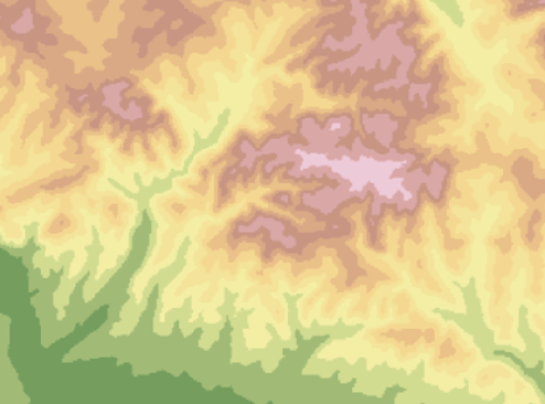
Digital terrain model 50m Digital terrain model of the FBiH area. The terrain model was created as part of the aerial photogrammetric survey of … Bosnia and Herzegovina Jan. 1, 2009 Federal Administration for Geodetic and Property Legal Affairs other Restrictions
Graphic overview for Digital terrain model 5m
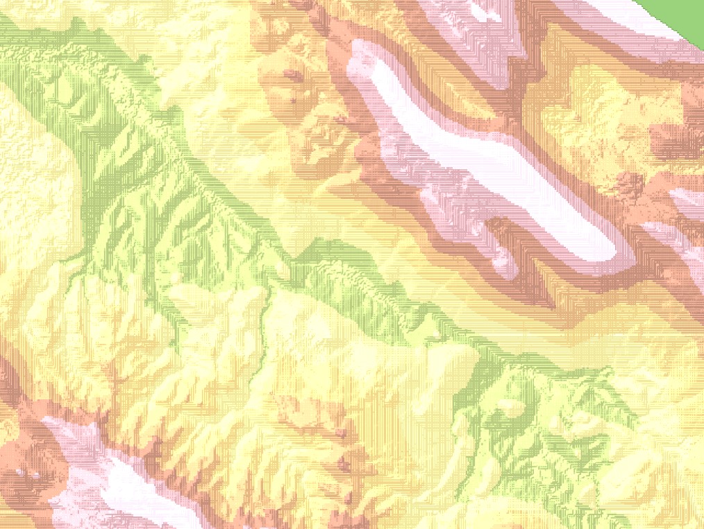
Digital terrain model 5m Digital terrain model of the territory of Bosnia and Herzegovina. The terrain model was created within the framework of aerial … Bosnia and Herzegovina Jan. 1, 2013 Federal Administration for Geodetic and Property Legal Affairs other Restrictions
Graphic overview for Orthophoto 2008
Orthophoto 2008 Digital orthophoto images of the entire territory of the Federation of Bosnia and Herzegovina. The images were created as part … Bosnia and Herzegovina Jan. 1, 2009 Federal Administration for Geodetic and Property Legal Affairs other Restrictions
Graphic overview for Orthophoto 2012
Orthophoto 2012 Digital orthophoto images of the Federation of Bosnia and Herzegovina at scales of 1:2500 and 1:5000, created based on aerial … Bosnia and Herzegovina Jan. 1, 2013 Federal Administration for Geodetic and Property Legal Affairs other Restrictions
Graphic overview for Orthophoto 2018
Orthophoto 2018 Digital orthophoto images of the Federation of Bosnia and Herzegovina at scales of 1:2500 and 1:5000, created based on satellite … Bosnia and Herzegovina Jan. 1, 2019 Federal Administration for Geodetic and Property Legal Affairs other Restrictions
Graphic overview for Orthophoto 2022
Orthophoto 2022 The orthophoto images were created based on aerial photographs of the Federation of Bosnia and Herzegovina. The images were taken … Bosnia and Herzegovina May 1, 2023 Federal Administration for Geodetic and Property Legal Affairs other Restrictions
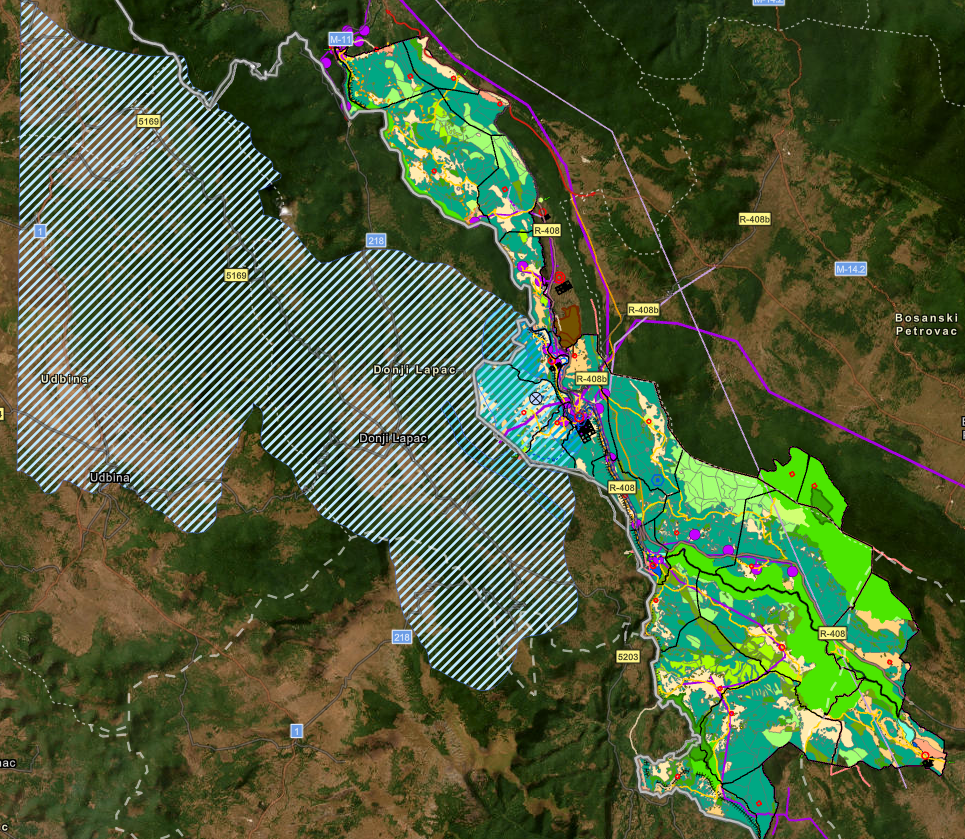
Graphic overview for Spatial plan "Una River Basin"
Spatial plan "Una River Basin" The Spatial Plan of the Area of Special Characteristics of Importance for the Federation of BiH "Una River Basin" for … Bosnia and Herzegovina None Federal Ministry of Physical Planning other Restrictions
Showing 15 of 15 records (filtered)