Showing 4 of 4 records (filtered)
Applied filters: Country: Bosnia and Herzegovina × Keywords: transport × INSPIRE Theme: TN: Transport Networks × Clear all filters
Preview
Title
Abstract
Country
INSPIRE Theme
Publication Date
Responsible Party
Topic Categories
Keywords
Access Constraints
Actions
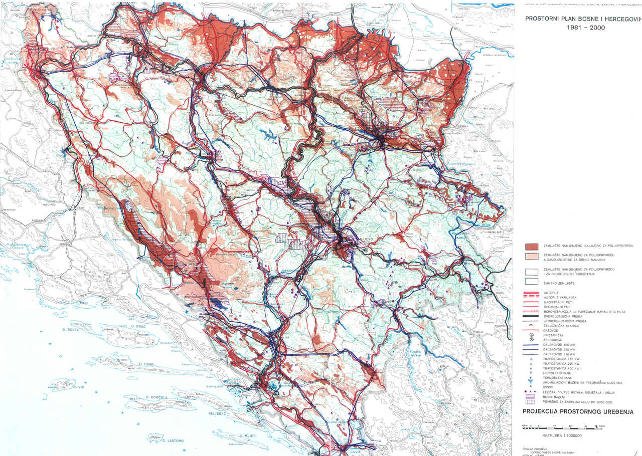
Graphic overview for Spatial plan of Bosnia and Herzegovina for the period from 1981 to 2000
Spatial plan of Bosnia and Herzegovina for the period from 1981 to 2000 The Spatial Plan of Bosnia and Herzegovina for the period from 1981 to 2000 was adopted by the Assembly of … Bosnia and Herzegovina Jan. 1, 1982 Federal Ministry of Physical Planning otherRestrictions
Graphic overview for OpenStreetMap Transport Points for Bosnia and Herzegovina
OpenStreetMap Transport Points for Bosnia and Herzegovina Transport facilities points from OpenStreetMap for Bosnia and Herzegovina Bosnia and Herzegovina Oct. 19, 2024 OpenStreetMap Contributors Open Database License
Graphic overview for OpenStreetMap Transport Polygons for Bosnia and Herzegovina
OpenStreetMap Transport Polygons for Bosnia and Herzegovina Transport facilities areas from OpenStreetMap for Bosnia and Herzegovina Bosnia and Herzegovina Oct. 19, 2024 OpenStreetMap Contributors Open Database License
Graphic overview for Study of optimal energy supply for the Sarajevo Canton
Study of optimal energy supply for the Sarajevo Canton The Study of Optimal Energy Supply of the Sarajevo Canton is a tool of the Sarajevo Canton Spatial Plan, and … Bosnia and Herzegovina Dec. 1, 2010 Ministry of Physical Planning and Environmental Protection of Sarajevo Canton other Restrictions
Showing 4 of 4 records (filtered)