Showing 10 of 132 records (filtered)
Applied filters: Country: Bosnia and Herzegovina × Keywords: GIS × Clear all filters
Page 1 of 13. next last »
Preview
Title
Abstract
Country
INSPIRE Theme
Publication Date
Responsible Party
Topic Categories
Keywords
Access Constraints
Actions
🖼️
Address register of the Croatian National Theatre/Croatian National Theatre Aggregate database from local self-government units HNK/HNŽ on addresses Bosnia and Herzegovina None Directorate for Geodetic and Property-Legal Affairs of the Herzegovina-Neretva Canton/County otherRestrictions
Graphic overview for Air Emissions Register and Air Quality Categorization for the Tuzla Canton Area for 2016
Air Emissions Register and Air Quality Categorization for the Tuzla Canton Area for 2016 Article 14 of the Law on Amendments to the Law on Air Protection ("Official Gazette of the Federation of BiH", … Bosnia and Herzegovina Jan. 1, 2018 Ministry of Physical Planning and Environmental Protection of the Canton of Tuzla otherRestrictions
Graphic overview for Demography and settlement system of Canton Sarajevo study
Demography and settlement system of Canton Sarajevo study The main purpose of the study of Demography and Settlement System of Sarajevo Canton is to assess the demographic situation … Bosnia and Herzegovina Jan. 4, 2005 Ministry of Physical Planning and Environmental Protection of Sarajevo Canton otherRestrictions
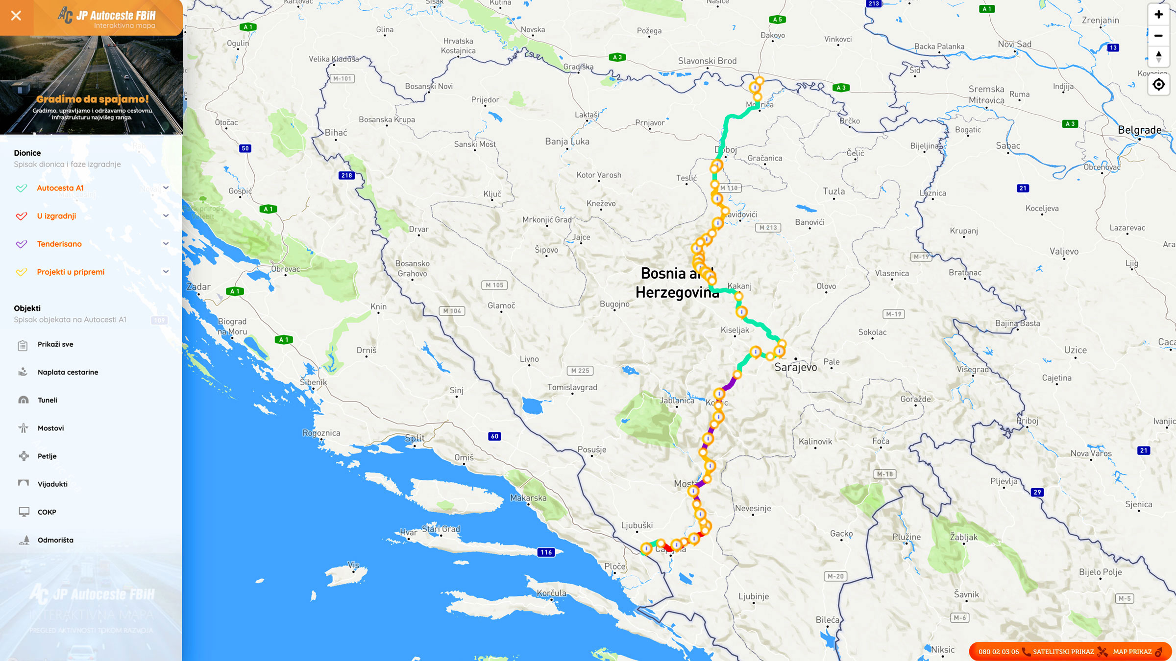
Graphic overview for Facilities under the jurisdiction of the Highway Federation of Bosnia and Herzegovina
Facilities under the jurisdiction of the Highway Federation of Bosnia and Herzegovina Tollbooths, rest areas, Grnični prešel, COKP, permanent facilities (bridge, tunnel, viaduct, ramp, overpass, underpass and culverts) and auxiliary facilities Bosnia and Herzegovina None JP Highways of the Federation of BiH doo Mostar otherRestrictions
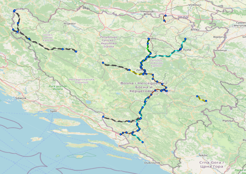
Graphic overview for Nodes
Nodes The nodal point represents the position (point element) that represents the place (position) of the beginning of the section or … Bosnia and Herzegovina None PC Highways of FBiH otherRestrictions
Graphic overview for Protected natural areas of Sarajevo Canton
Protected natural areas of Sarajevo Canton In the Cantonal Public Institution for Protected Natural Areas, the implementation of GIS software began in 2020 when the Gauss … Bosnia and Herzegovina Jan. 1, 2020 Cantonal Public Institution for Protected Natural Areas Sarajevo otherRestrictions
Graphic overview for Register of concessions under the jurisdiction of the energy and mining sector
Register of concessions under the jurisdiction of the energy and mining sector Comprehensive information on the legal framework, permits, fees, concessionaires and budget revenues generated from concessions in the energy and mining … Bosnia and Herzegovina None Ministry of Economy/Economy of the Central Bosnian Canton otherRestrictions
Graphic overview for Regulatory plan "Ahatovići"
Regulatory plan "Ahatovići" The area of 69 ha, included in the Plan's border, belongs to the administrative territory of the Novi Grad municipality. … Bosnia and Herzegovina Not specified Feb. 26, 2014 Sarajevo Canton Development Planning Institute Not specified otherRestrictions
Graphic overview for Regulatory plan "Alicja Gaj"
Regulatory plan "Alicja Gaj" The area of 14.7 ha, included in the Plan boundary, is located in the northwest of the Sarajevo Canton, and … Bosnia and Herzegovina Not specified Oct. 30, 2014 Sarajevo Canton Development Planning Institute Not specified otherRestrictions
Graphic overview for Regulatory plan "Alipašin most II and III"
Regulatory plan "Alipašin most II and III" The detailed planning document, the Regulatory Plan "Alipašin most II and III", is based on the adopted land use policy, … Bosnia and Herzegovina Not specified July 18, 2001 Sarajevo Canton Development Planning Institute Not specified otherRestrictions
Showing 10 of 132 records (filtered)
Page 1 of 13. next last »