Showing 10 of 132 records (filtered)
Applied filters: Country: Bosnia and Herzegovina × Keywords: GIS × Clear all filters
« first previous Page 3 of 13. next last »
Preview
Title
Abstract
Country
INSPIRE Theme
Publication Date
Responsible Party
Topic Categories
Keywords
Access Constraints
Actions
Graphic overview for Urban plan of the Ilijaš urban area 1986 - 2015.
Urban plan of the Ilijaš urban area 1986 - 2015. Urban plans are adopted for urban areas, and the boundaries of the areas for which they are prepared are defined … Bosnia and Herzegovina Not specified None Sarajevo Canton Development Planning Institute Not specified otherRestrictions
🖼️
Viticulture register The vineyard register is an individual display of vineyard data according to the rulebook on the vineyard register Bosnia and Herzegovina Jan. 1, 2014 My Organization otherRestrictions
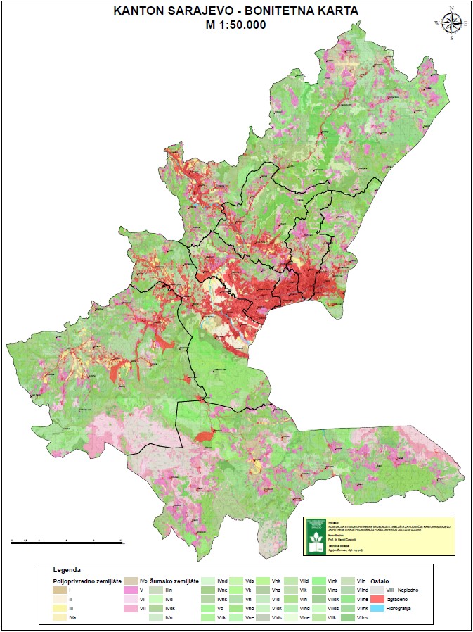
Graphic overview for Amendment to the land use value study for the Sarajevo Canton area
Amendment to the land use value study for the Sarajevo Canton area The study of the land use value of the Sarajevo Canton is an improvement and acquisition of newer and better … Bosnia and Herzegovina March 1, 2012 Ministry of Physical Planning and Environmental Protection of Sarajevo Canton other Restrictions
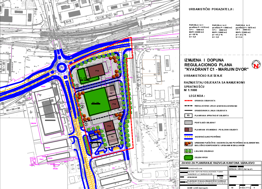
Graphic overview for Amendments to the Regulatory Plan "Quadrant C1 - Marijin Dvor"
Amendments to the Regulatory Plan "Quadrant C1 - Marijin Dvor" The detailed planning document Amendments and Supplements to the Regulatory Plan "Quadrant C1 - Marijin dvor" is based on the … Bosnia and Herzegovina Jan. 29, 2020 Sarajevo Canton Development Planning Institute other Restrictions
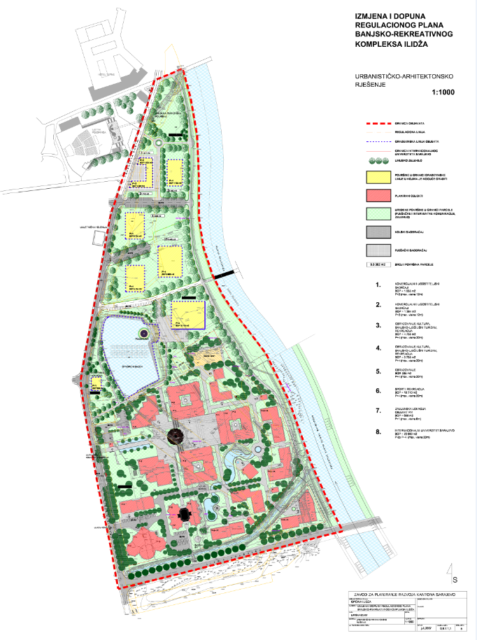
Graphic overview for Amendments to the regulatory plan "Spa and recreational complex Ilidža"
Amendments to the regulatory plan "Spa and recreational complex Ilidža" The detailed planning document Amendments and Supplements to the Regulatory Plan "Spa and Recreation Complex Ilidža" is based on the … Bosnia and Herzegovina Sept. 12, 2007 Sarajevo Canton Development Planning Institute other Restrictions
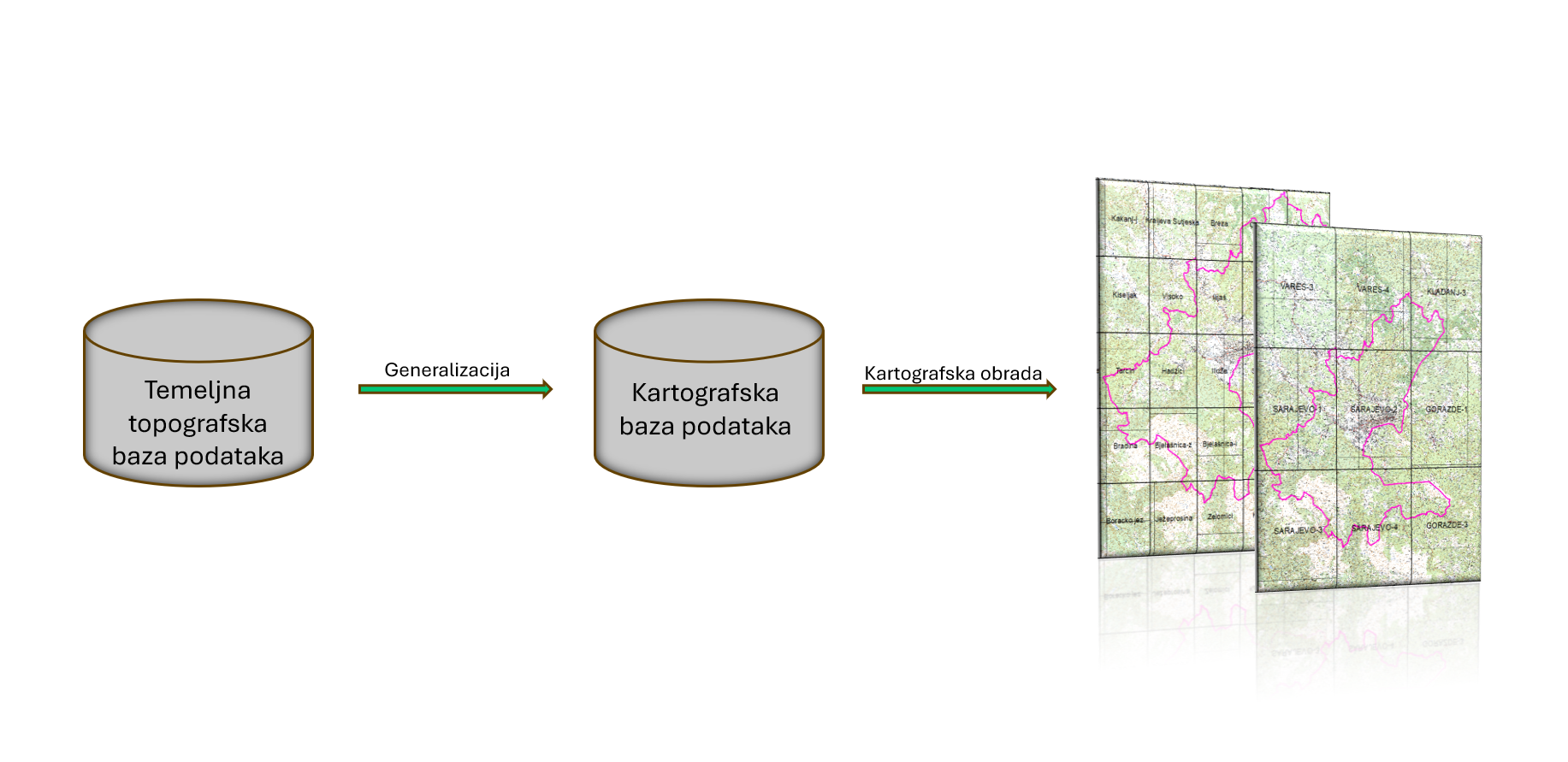
Graphic overview for Basic topographical database of Sarajevo Canton
Basic topographical database of Sarajevo Canton The basic topographic database of the scale 1:10,000 contains detailed information about the relief, hydrological objects, vegetation, infrastructure and other … Bosnia and Herzegovina July 1, 2024 Sarajevo Canton Development Planning Institute other Restrictions
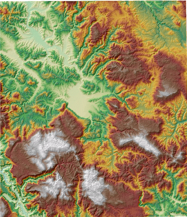
Graphic overview for Digital terrain model of Sarajevo Canton
Digital terrain model of Sarajevo Canton The digital terrain model shows the terrain with all its relief characteristics in a three-dimensional perspective, for the purpose of … Bosnia and Herzegovina None Ministry of Physical Planning and Environmental Protection of Sarajevo Canton other Restrictions
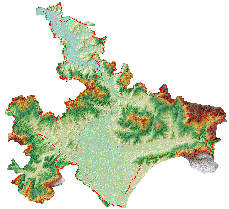
Graphic overview for Digital terrain model of the urban area of the Sarajevo Canton
Digital terrain model of the urban area of the Sarajevo Canton A digital terrain model is a set of positionally and height-determined points and geometric elements that display the terrain with … Bosnia and Herzegovina None Sarajevo Canton Development Planning Institute other Restrictions
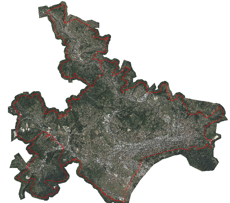
Graphic overview for Orthophoto map of the urban area of the Sarajevo Canton
Orthophoto map of the urban area of the Sarajevo Canton An orthophoto is an aerial/satellite image of the ground in digital raster form, which has been geometrically corrected using special … Bosnia and Herzegovina None Sarajevo Canton Development Planning Institute other Restrictions
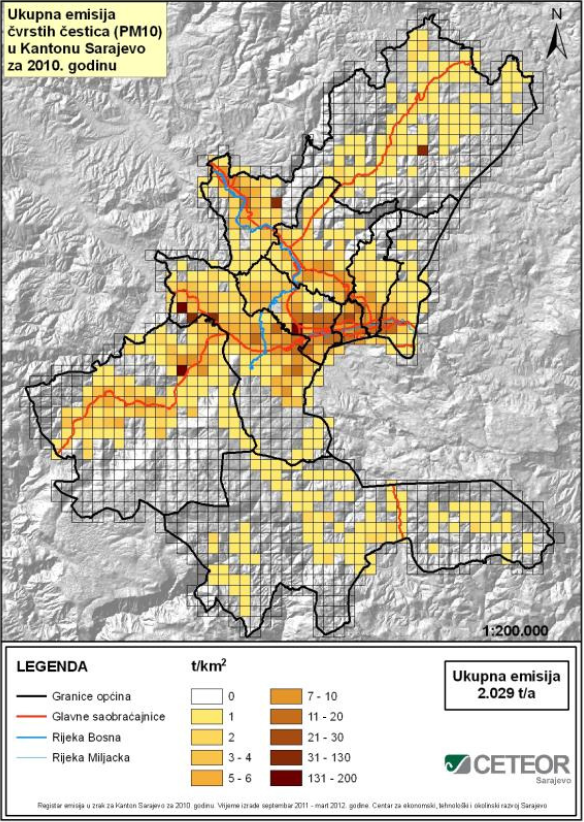
Graphic overview for Register of air emissions for the area of Sarajevo Canton for the year 2010
Register of air emissions for the area of Sarajevo Canton for the year 2010 Emission is the release of certain substances from a source into the atmosphere that, in certain concentrations, can be harmful … Bosnia and Herzegovina April 1, 2012 Ministry of Physical Planning and Environmental Protection of Sarajevo Canton other Restrictions
Showing 10 of 132 records (filtered)
« first previous Page 3 of 13. next last »