Showing 4 of 4 records (filtered)
Applied filters: Country: Bosnia and Herzegovina × Keywords: Lake × Clear all filters
Preview
Title
Abstract
Country
INSPIRE Theme
Publication Date
Responsible Party
Topic Categories
Keywords
Access Constraints
Actions
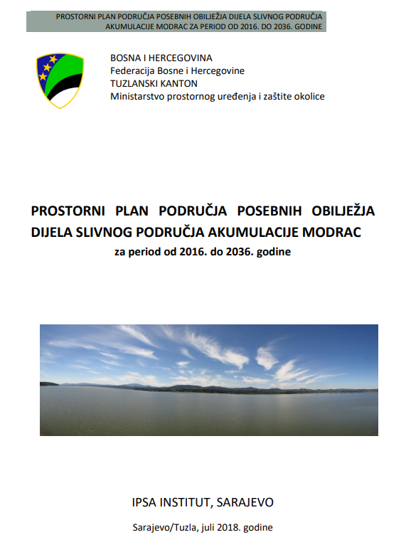
Graphic overview for Spatial plan for the area of special characteristics of part of the Modrac reservoir catchment area for the period 2016-2036.
Spatial plan for the area of special characteristics of part of the Modrac reservoir catchment area for the period 2016-2036. The Spatial Plan for the Area of Special Characteristics of the Part of the Modrac Reservoir Basin for the Period … Bosnia and Herzegovina Jan. 1, 2023 Ministry of Physical Planning and Environmental Protection of Tuzla Canton otherRestrictions
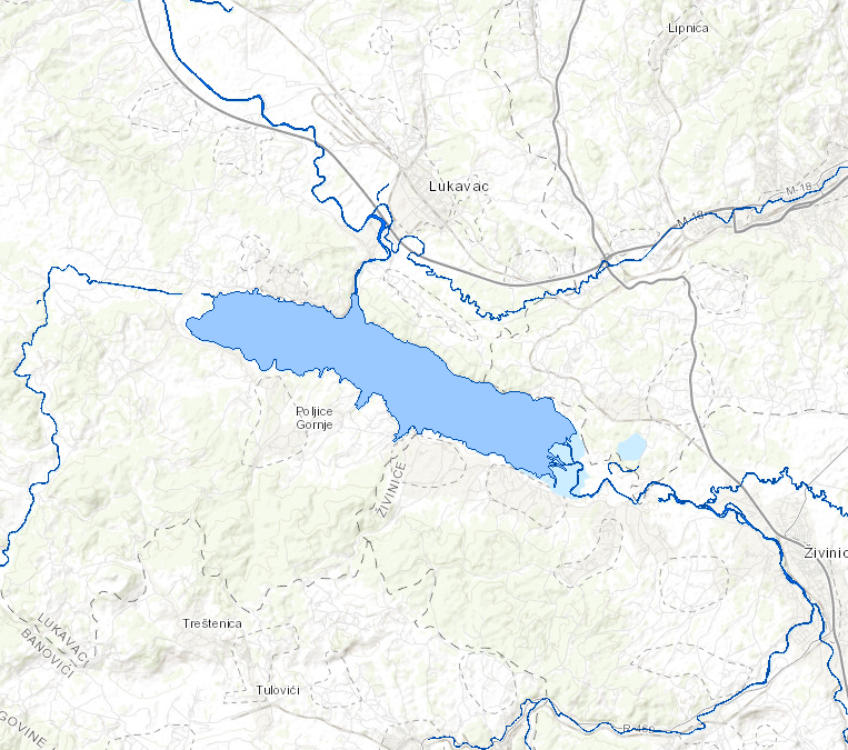
Graphic overview for Standing waters of the Sava River
Standing waters of the Sava River This data set contains all stagnant waters (lakes, ponds, wetlands and reservoirs) in the Sava river basin managed by AVP … Bosnia and Herzegovina Jan. 1, 2008 Sava River Basin Agency otherRestrictions
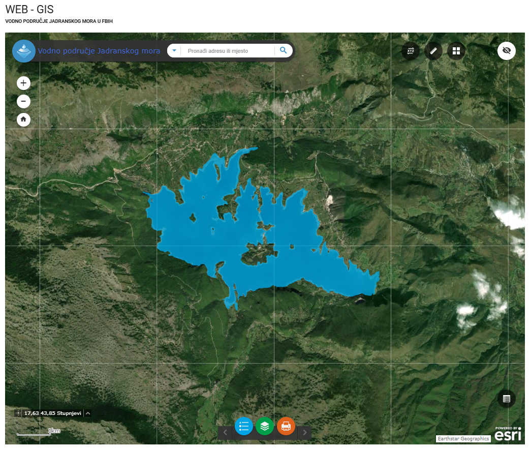
Graphic overview for Water stills AVP Adriatic Sea
Water stills AVP Adriatic Sea This data set contains all standing water (lakes, ponds, wetlands and reservoirs) in the Adriatic Sea catchment area managed by … Bosnia and Herzegovina Jan. 1, 2008 Agency for the Adriatic Sea Water Area otherRestrictions
Graphic overview for OpenStreetMap Water Bodies for Bosnia and Herzegovina
OpenStreetMap Water Bodies for Bosnia and Herzegovina Water bodies from OpenStreetMap for Bosnia and Herzegovina Bosnia and Herzegovina Oct. 19, 2024 OpenStreetMap Contributors Open Database License
Showing 4 of 4 records (filtered)