Showing 10 of 56 records (filtered)
Applied filters: Country: Bosnia and Herzegovina × Keywords: National × Clear all filters
« first previous Page 3 of 6. next last »
Preview
Title
Abstract
Country
INSPIRE Theme
Publication Date
Responsible Party
Topic Categories
Keywords
Access Constraints
Actions
🖼️
Viticulture register The vineyard register is an individual display of vineyard data according to the rulebook on the vineyard register Bosnia and Herzegovina Jan. 1, 2014 My Organization otherRestrictions
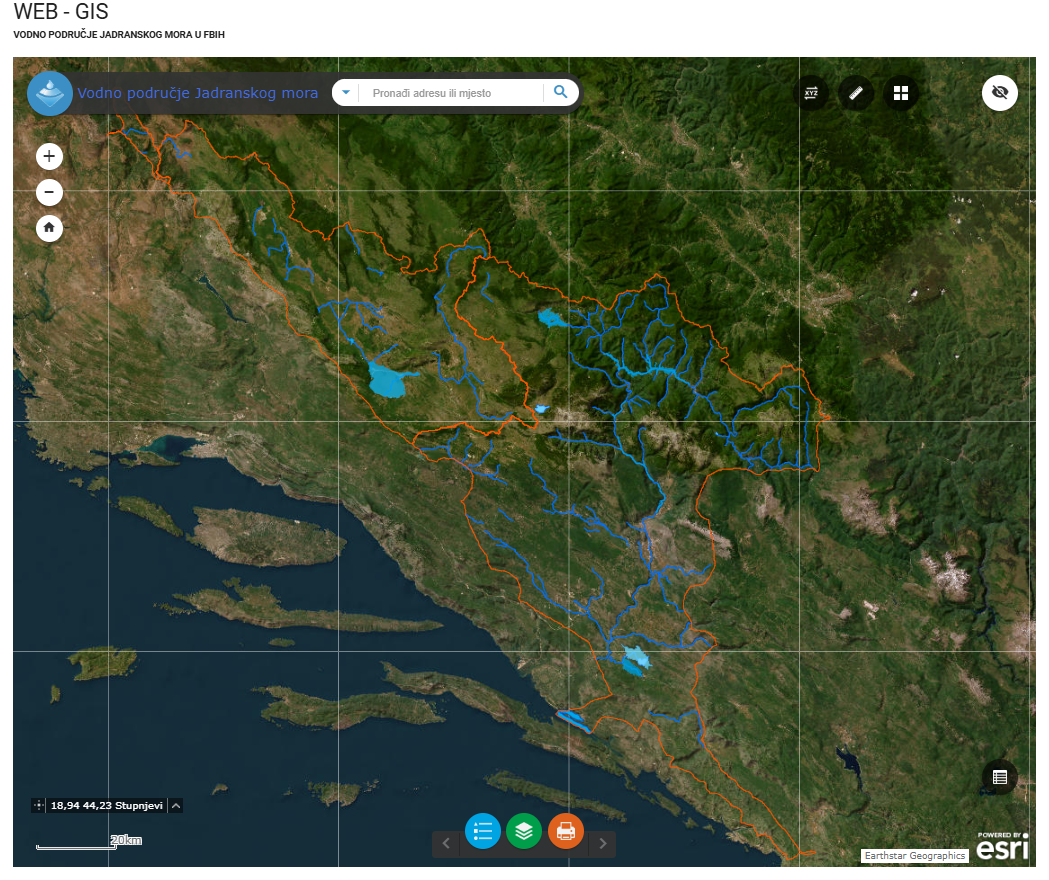
Graphic overview for Water area of the Adriatic Sea
Water area of the Adriatic Sea This dataset represents the Adriatic Sea water area in the Federation of Bosnia and Herzegovina. Bosnia and Herzegovina Jan. 1, 2008 Agency for the Adriatic Sea Water Area otherRestrictions
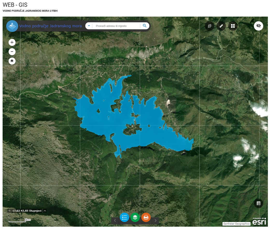
Graphic overview for Water stills AVP Adriatic Sea
Water stills AVP Adriatic Sea This data set contains all standing water (lakes, ponds, wetlands and reservoirs) in the Adriatic Sea catchment area managed by … Bosnia and Herzegovina Jan. 1, 2008 Agency for the Adriatic Sea Water Area otherRestrictions
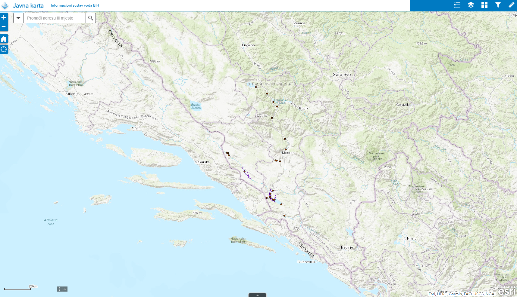
Graphic overview for Water structures AVP Adriatic Sea
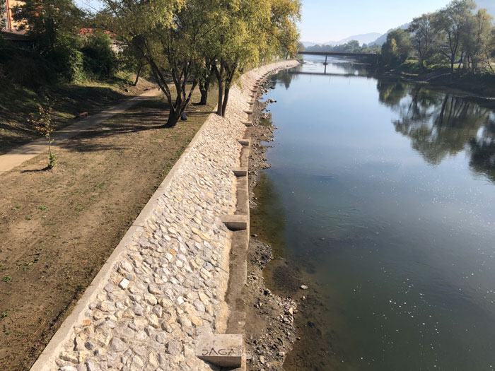
Water structures AVP Adriatic Sea Water structures represent longitudinal water structures: embankments, and transverse water structures: dams, dams, pumping stations, flood defense centers in the … Bosnia and Herzegovina Jan. 1, 2008 Agency for the Adriatic Sea Water Area otherRestrictions
Graphic overview for Water structures of the Sava River
Water structures of the Sava River Water structures are longitudinal water structures: embankments, and transverse water structures: dams, weirs, pumping stations, flood protection centers in the … Bosnia and Herzegovina None Sava River Basin Agency otherRestrictions
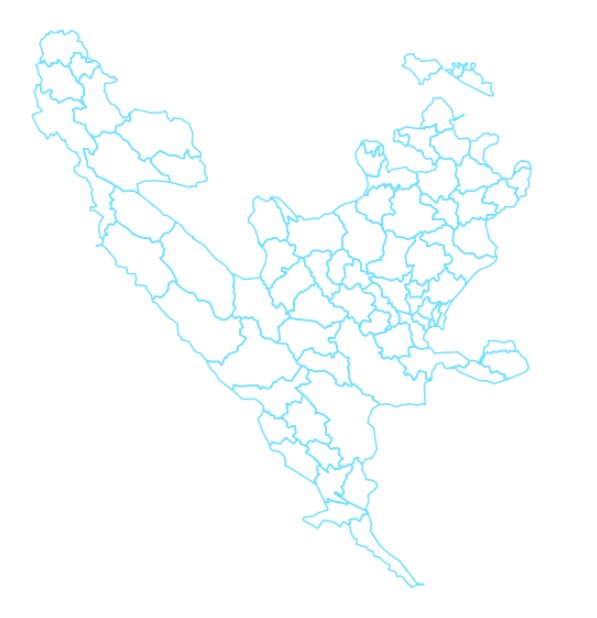
Graphic overview for Administrative units
Administrative units The data set of administrative units according to the Register of Spatial Units contains boundaries, names and codes for the … Bosnia and Herzegovina None Federal Administration for Geodetic and Property Legal Affairs other Restrictions
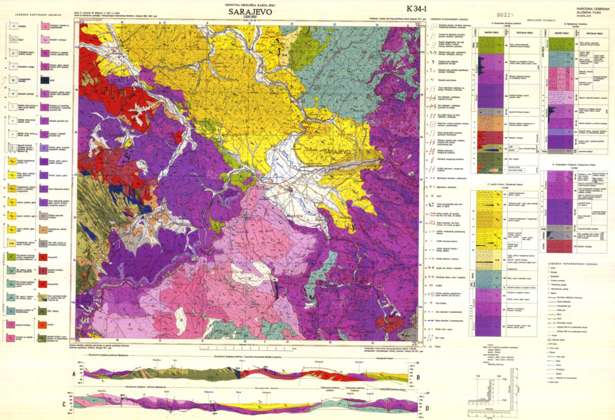
Graphic overview for Basic geological map of FBiH
Basic geological map of FBiH The basic geological map of the Federation of Bosnia and Herzegovina is a detailed map that shows the geological characteristics … Bosnia and Herzegovina None Federal Institute of Geology other Restrictions
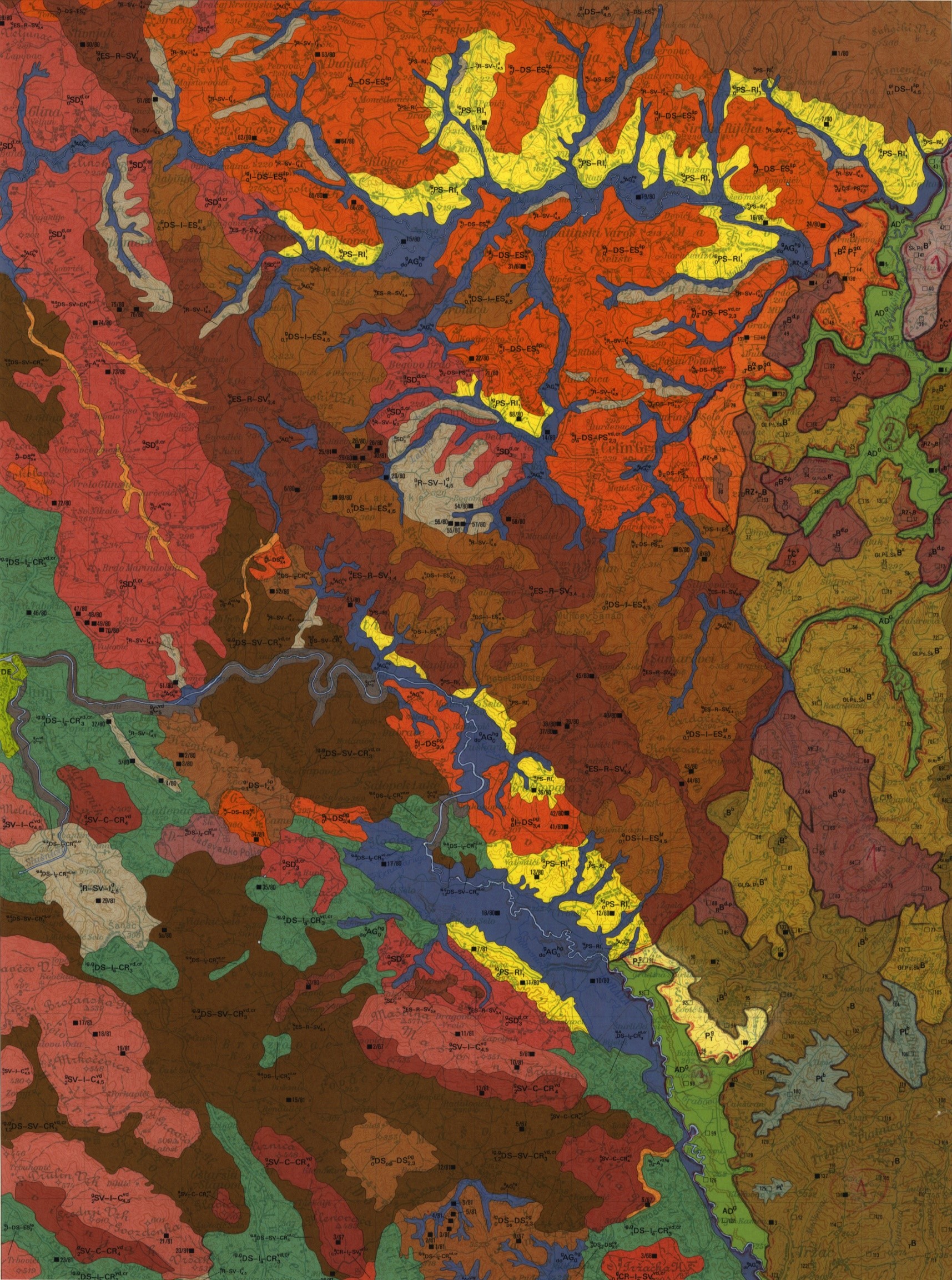
Graphic overview for Basic pedological map of Bosnia and Herzegovina
Basic pedological map of Bosnia and Herzegovina The main source of soil data in Bosnia and Herzegovina is the Basic Pedological Map at a scale of 1:50,000. … Bosnia and Herzegovina Jan. 1, 1964 Federal Institute for Agropedology other Restrictions
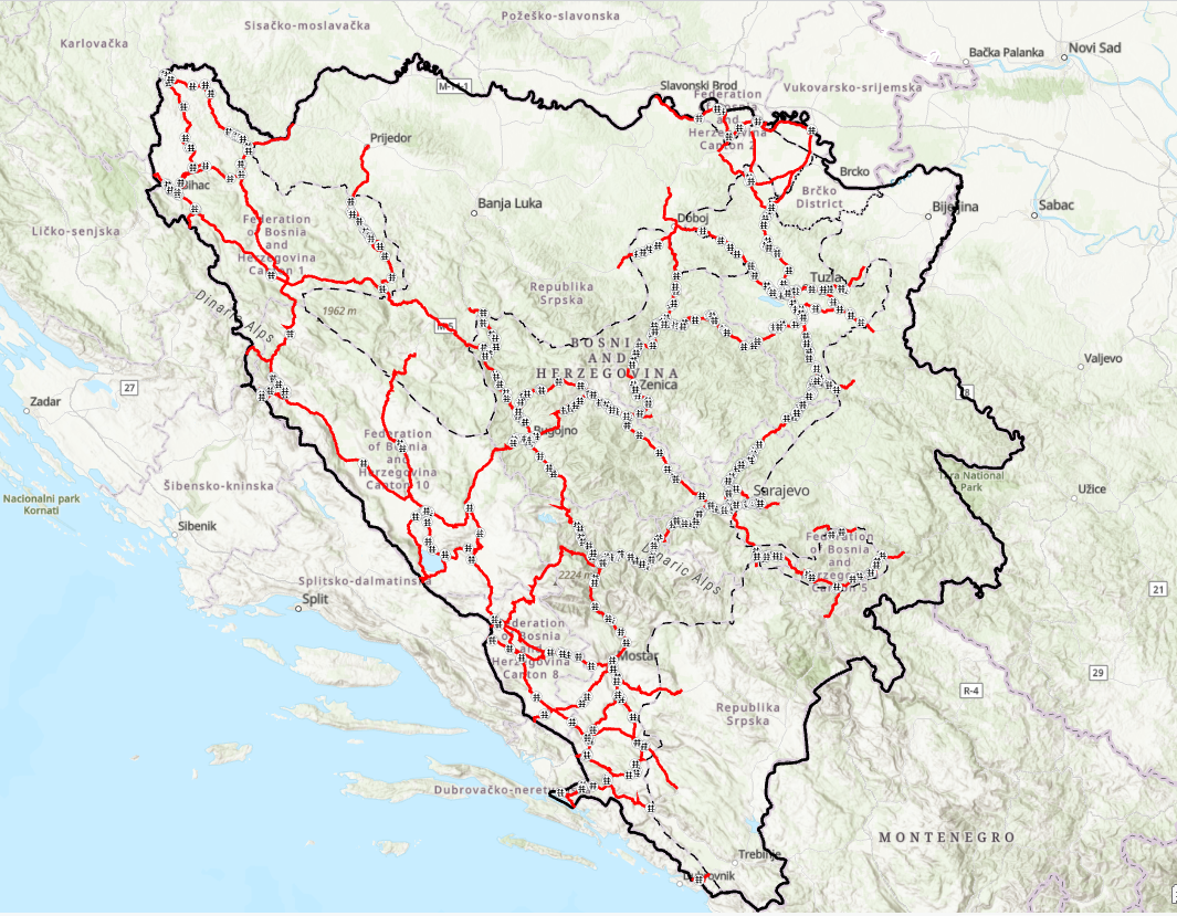
Graphic overview for Bridges on the main road network of the Federation of Bosnia and Herzegovina
Bridges on the main road network of the Federation of Bosnia and Herzegovina JP Ceste Federacije BiH doo Sarajevo manages 578 bridges, whose average age is about 45 years. Bridges in the broader … Bosnia and Herzegovina Jan. 1, 2024 PC Roads of the Federation of Bosnia and Herzegovina doo Sarajevo other Restrictions
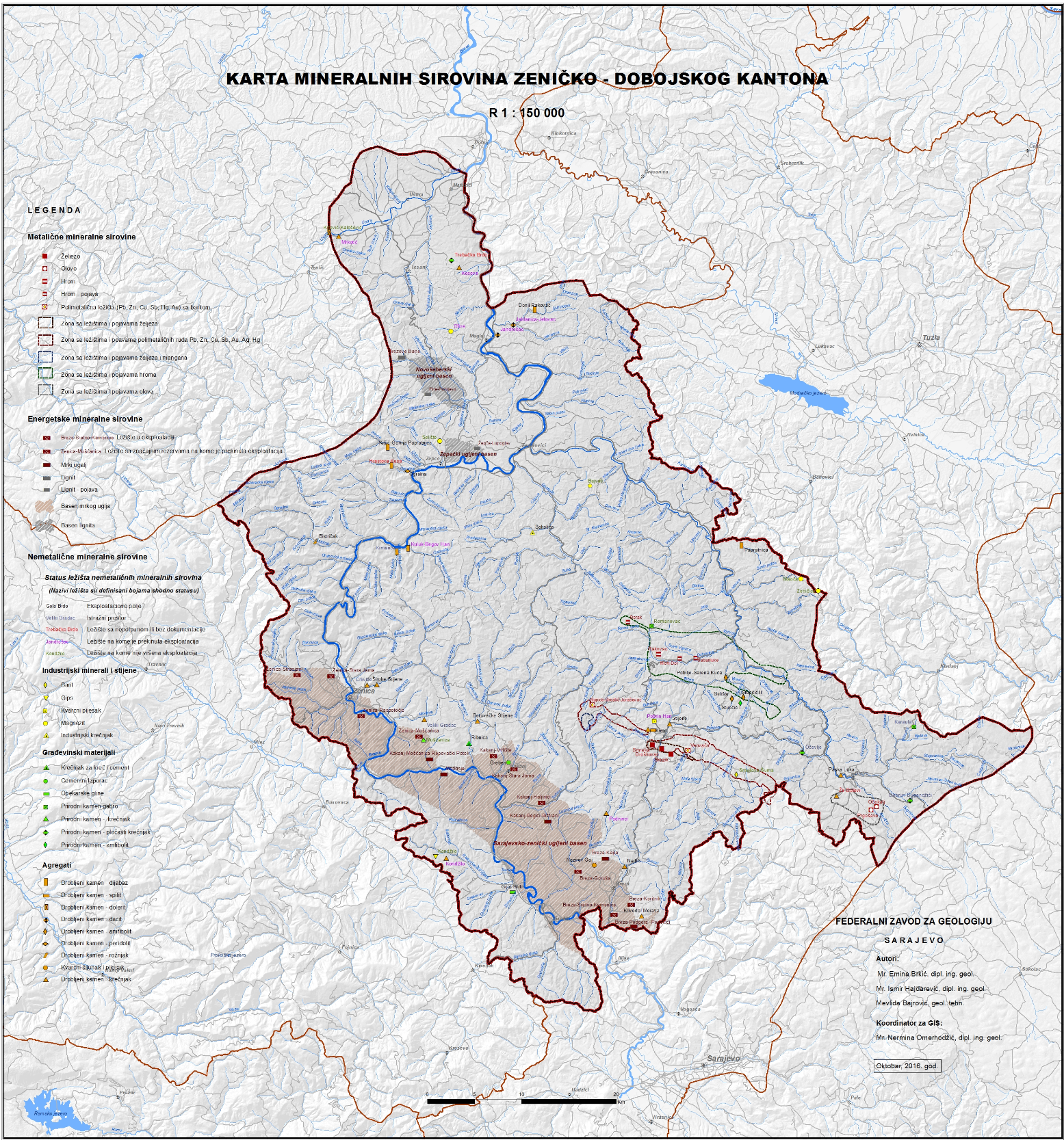
Graphic overview for Cadastre of mineral resources for the FBiH area
Cadastre of mineral resources for the FBiH area The cadastre of mineral resources of the Federation of Bosnia and Herzegovina consists of solid mineral resources whose reserves are … Bosnia and Herzegovina None Federal Institute of Geology other Restrictions
Showing 10 of 56 records (filtered)
« first previous Page 3 of 6. next last »