Showing 4 of 4 records (filtered)
Applied filters: Country: Bosnia and Herzegovina × Keywords: POI × Clear all filters
Preview
Title
Abstract
Country
INSPIRE Theme
Publication Date
Responsible Party
Topic Categories
Keywords
Access Constraints
Actions
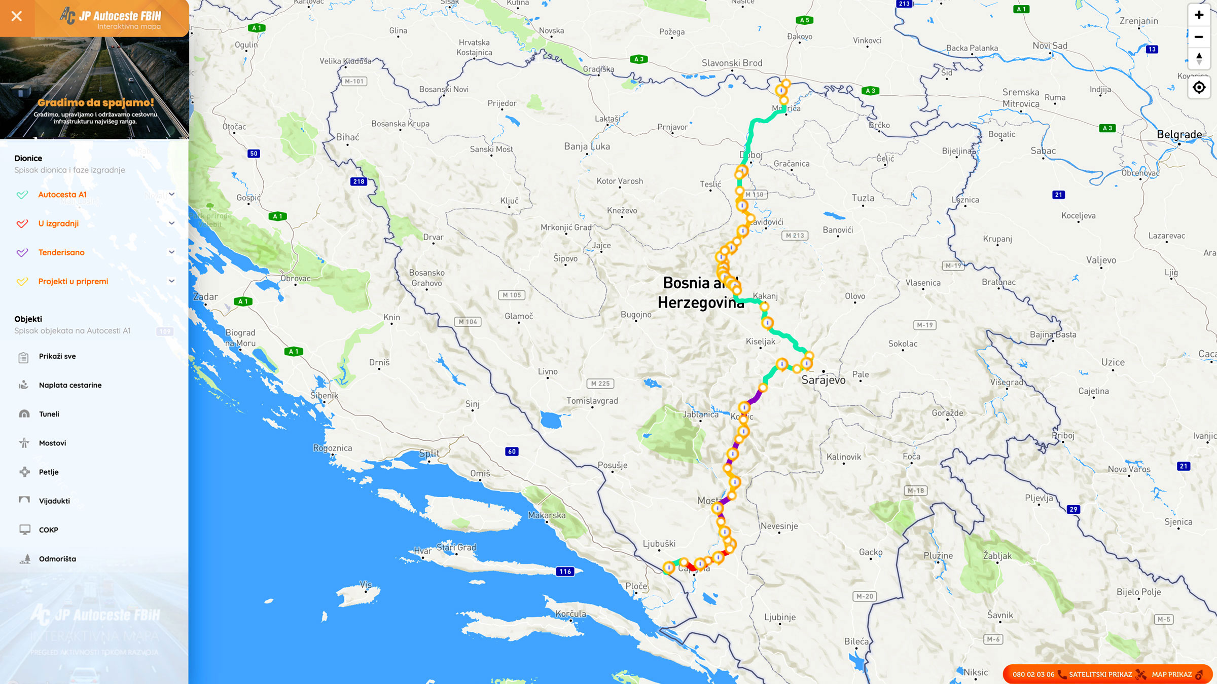
Graphic overview for Nodes
Nodes The nodal point represents the position (point element) that represents the place (position) of the beginning of the section or … Bosnia and Herzegovina None PC Highways of FBiH otherRestrictions
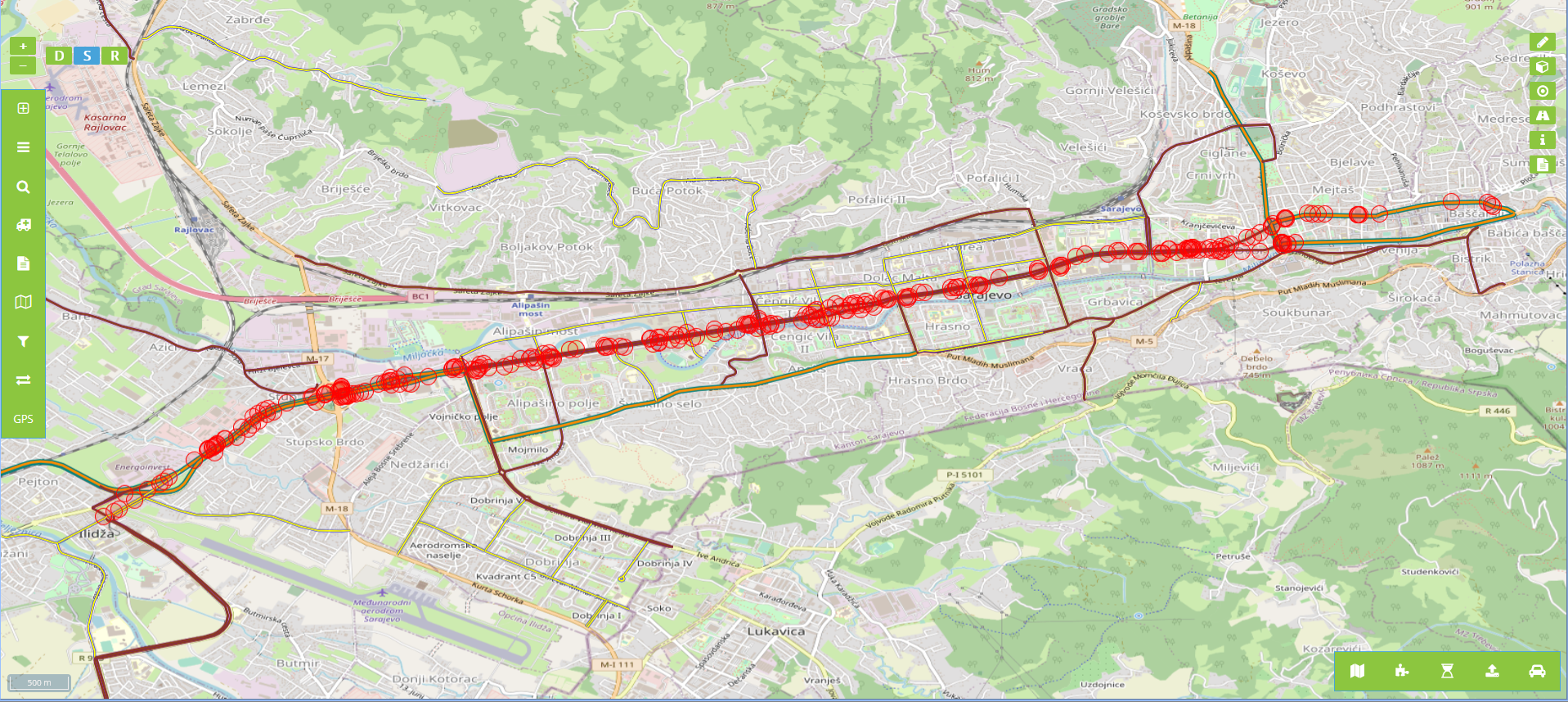
Graphic overview for Billboards in the protective zone of road communication under the jurisdiction of the Road Directorate of the Sarajevo Canton
Billboards in the protective zone of road communication under the jurisdiction of the Road Directorate of the Sarajevo Canton Billboards in the protective zone of the road communication under the jurisdiction of the Sarajevo Canton Road Directorate consist of … Bosnia and Herzegovina Jan. 1, 2020 Sarajevo Canton Road Directorate other Restrictions
Graphic overview for OpenStreetMap Points of Interest Points for Bosnia and Herzegovina
OpenStreetMap Points of Interest Points for Bosnia and Herzegovina Points of interest locations from OpenStreetMap for Bosnia and Herzegovina Bosnia and Herzegovina Oct. 19, 2024 OpenStreetMap Contributors Open Database License
Graphic overview for OpenStreetMap Points of Interest Polygons for Bosnia and Herzegovina
OpenStreetMap Points of Interest Polygons for Bosnia and Herzegovina Points of interest areas from OpenStreetMap for Bosnia and Herzegovina Bosnia and Herzegovina Oct. 19, 2024 OpenStreetMap Contributors Open Database License
Showing 4 of 4 records (filtered)