Showing 10 of 16 records (filtered)
Applied filters: Country: Bosnia and Herzegovina × Keywords: network × Clear all filters
Page 1 of 2. next last »
Preview
Title
Abstract
Country
INSPIRE Theme
Publication Date
Responsible Party
Topic Categories
Keywords
Access Constraints
Actions
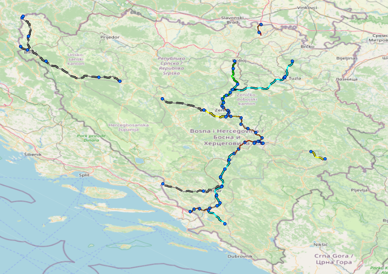
Graphic overview for Facilities under the jurisdiction of the Highway Federation of Bosnia and Herzegovina
Facilities under the jurisdiction of the Highway Federation of Bosnia and Herzegovina Tollbooths, rest areas, Grnični prešel, COKP, permanent facilities (bridge, tunnel, viaduct, ramp, overpass, underpass and culverts) and auxiliary facilities Bosnia and Herzegovina None JP Highways of the Federation of BiH doo Mostar otherRestrictions
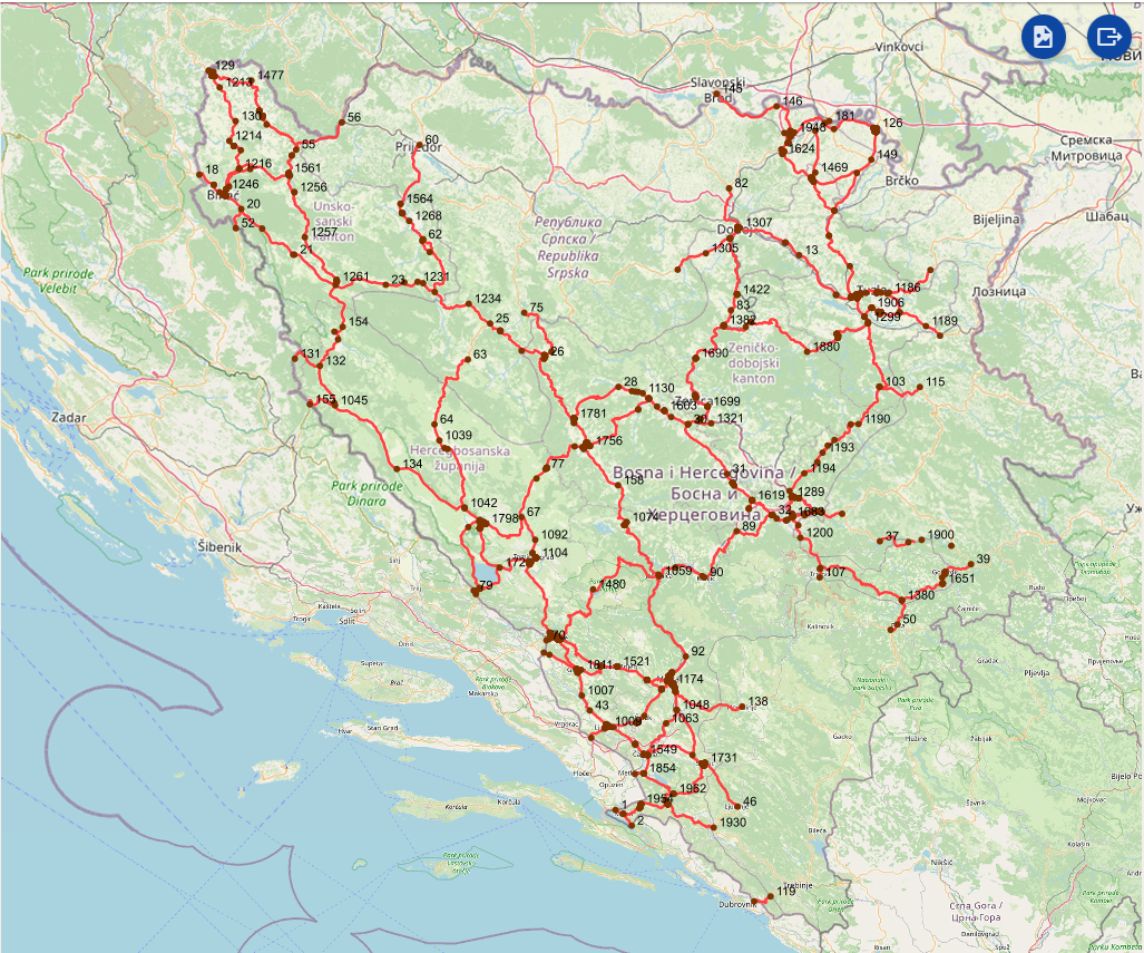
Graphic overview for Intersections on the main road network of the Federation of Bosnia and Herzegovina
Intersections on the main road network of the Federation of Bosnia and Herzegovina A road junction is a point spatial object that marks the junction of two or more road sections or another … Bosnia and Herzegovina Jan. 1, 2025 PC Roads of the Federation of Bosnia and Herzegovina doo Sarajevo otherRestrictions
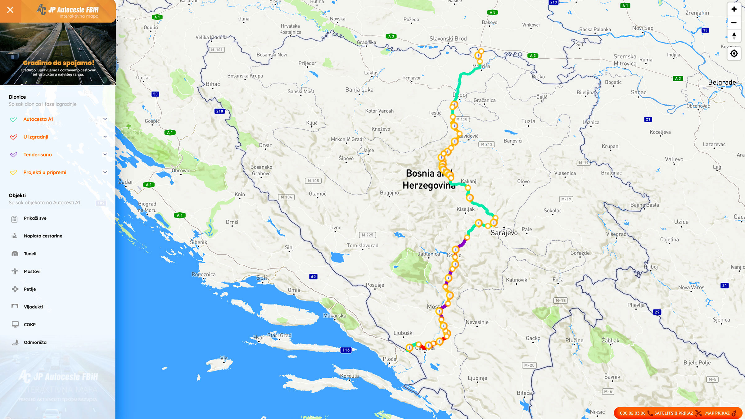
Graphic overview for Nodes
Nodes The nodal point represents the position (point element) that represents the place (position) of the beginning of the section or … Bosnia and Herzegovina None PC Highways of FBiH otherRestrictions
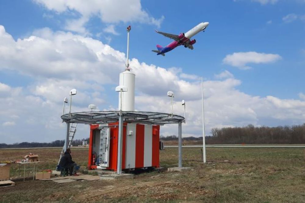
Graphic overview for Radio navigation devices
Radio navigation devices Radio navigation devices required for air traffic control operations. Bosnia and Herzegovina Jan. 1, 2014 BiH Air Navigation Services Agency (BHANSA) otherRestrictions
Graphic overview for Urban plan of the city of Sarajevo for the urban area of Hadžići 1986 - 2015.
Urban plan of the city of Sarajevo for the urban area of Hadžići 1986 - 2015. Urban plans are prepared for urban areas, and their boundaries are defined by the Spatial Plan of the Sarajevo Canton. … Bosnia and Herzegovina Not specified None Sarajevo Canton Development Planning Institute Not specified otherRestrictions
Graphic overview for Urban plan of the Ilijaš urban area 1986 - 2015.
Urban plan of the Ilijaš urban area 1986 - 2015. Urban plans are adopted for urban areas, and the boundaries of the areas for which they are prepared are defined … Bosnia and Herzegovina Not specified None Sarajevo Canton Development Planning Institute Not specified otherRestrictions
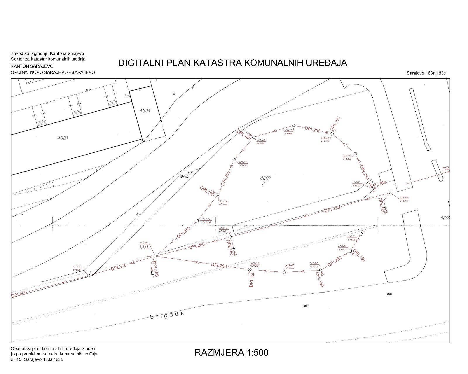
Graphic overview for Drainage network
Drainage network The utility cadastre is a special technical record in which data on all underground and above-ground utility installations are collected, … Bosnia and Herzegovina Jan. 1, 1982 Sarajevo Canton Construction Institute other Restrictions
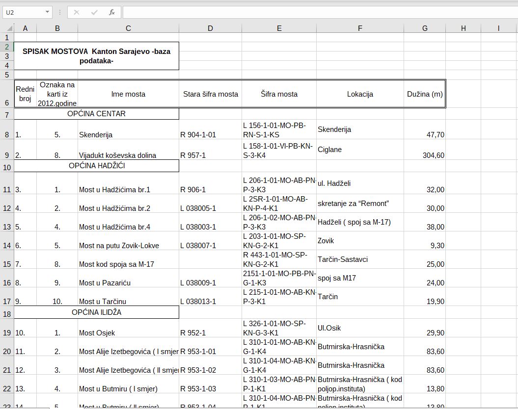
Graphic overview for Bridges on road traffic managed by the Directorate for Roads of Canton Sarajevo
Bridges on road traffic managed by the Directorate for Roads of Canton Sarajevo A bridge is a road structure that is an integral part of a public road. There are 58 bridges on … Bosnia and Herzegovina Jan. 1, 2012 Sarajevo Canton Road Directorate other Restrictions
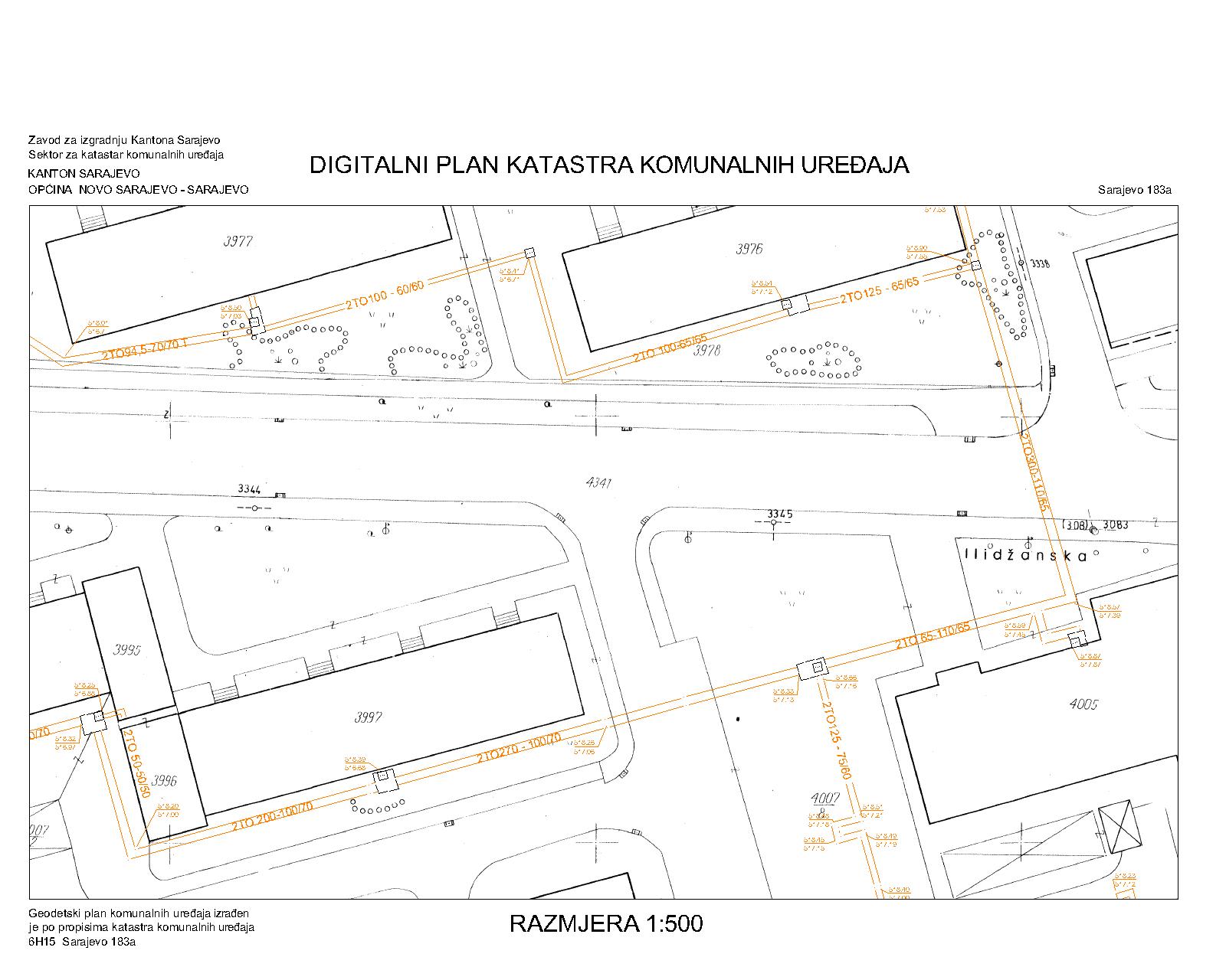
Graphic overview for District heating network
District heating network The utility cadastre is a special technical record in which data on all underground and above-ground utility installations are collected, … Bosnia and Herzegovina Jan. 1, 1982 Sarajevo Canton Construction Institute restricted
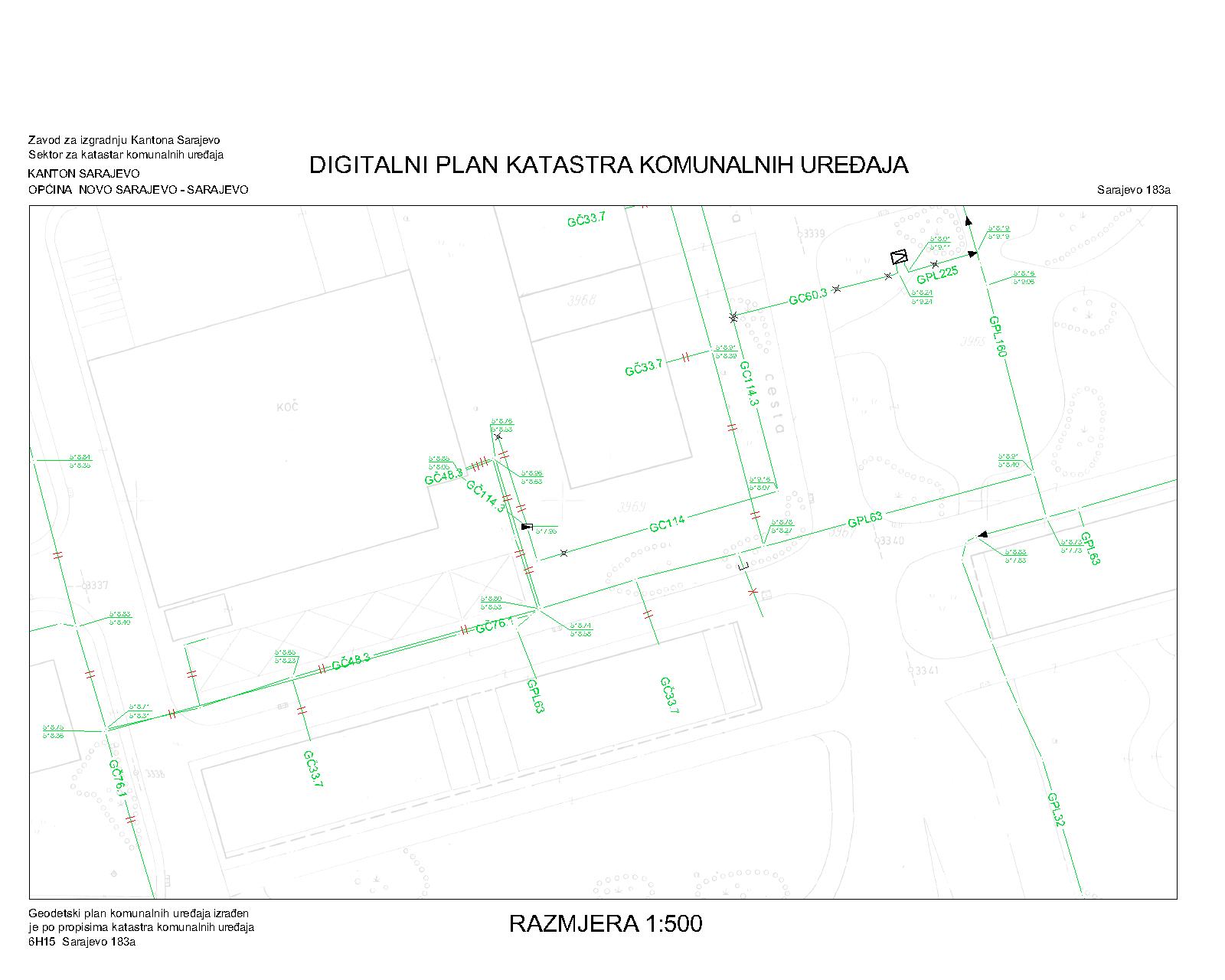
Graphic overview for Gas pipeline network
Gas pipeline network The utility cadastre is a special technical record in which data on all underground and above-ground utility installations are collected, … Bosnia and Herzegovina Jan. 1, 1982 Sarajevo Canton Construction Institute restricted
Showing 10 of 16 records (filtered)
Page 1 of 2. next last »