Showing 4 of 4 records (filtered)
Applied filters: Country: Bosnia and Herzegovina × Keywords: roads × Clear all filters
Preview
Title
Abstract
Country
INSPIRE Theme
Publication Date
Responsible Party
Topic Categories
Keywords
Access Constraints
Actions
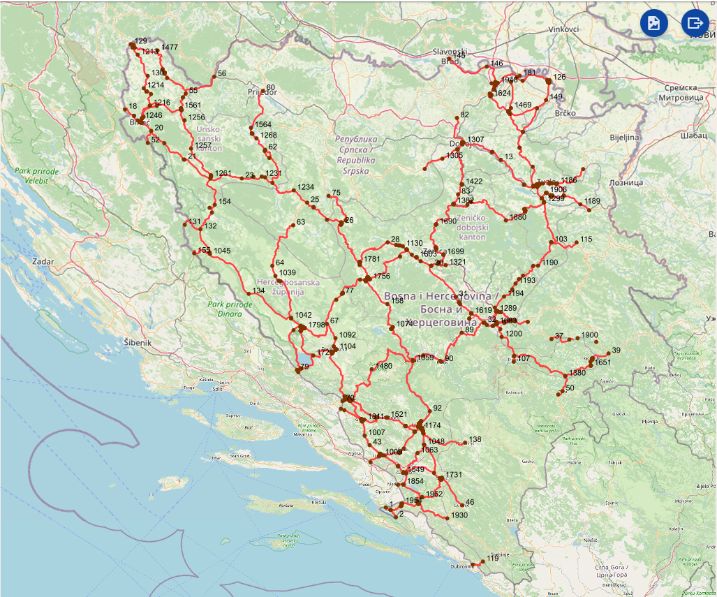
Graphic overview for Intersections on the main road network of the Federation of Bosnia and Herzegovina
Intersections on the main road network of the Federation of Bosnia and Herzegovina A road junction is a point spatial object that marks the junction of two or more road sections or another … Bosnia and Herzegovina Jan. 1, 2025 PC Roads of the Federation of Bosnia and Herzegovina doo Sarajevo otherRestrictions
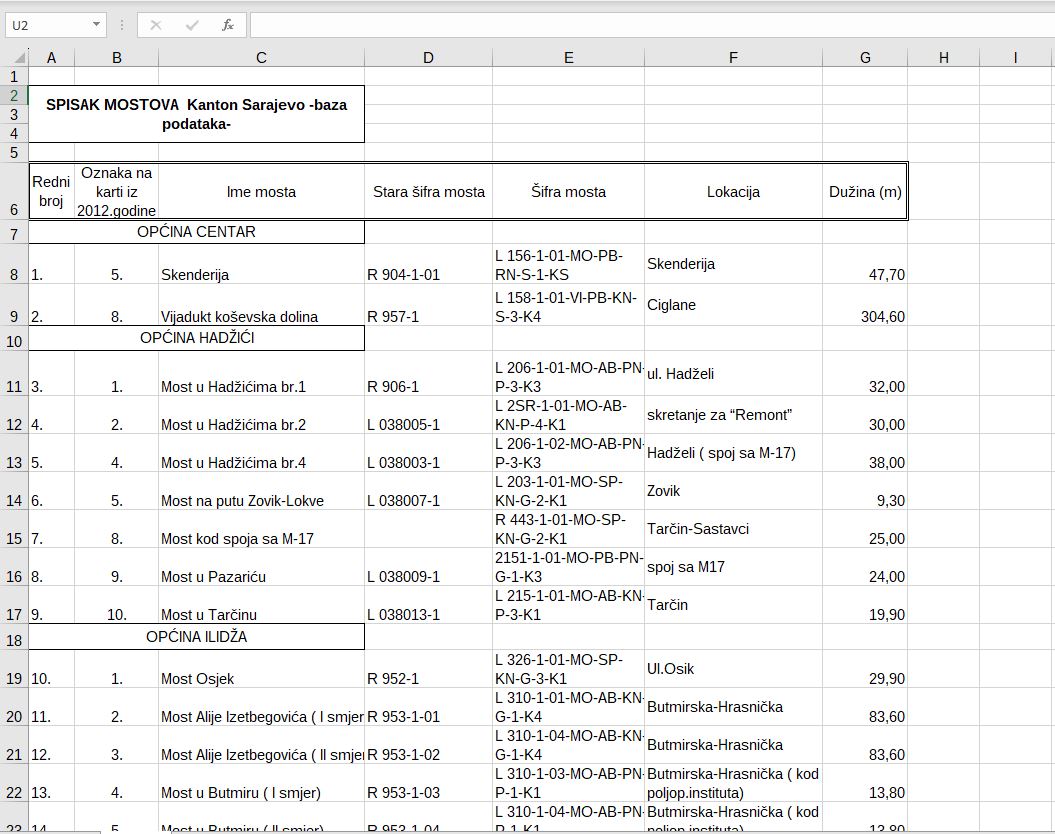
Graphic overview for Bridges on road traffic managed by the Directorate for Roads of Canton Sarajevo
Bridges on road traffic managed by the Directorate for Roads of Canton Sarajevo A bridge is a road structure that is an integral part of a public road. There are 58 bridges on … Bosnia and Herzegovina Jan. 1, 2012 Sarajevo Canton Road Directorate other Restrictions
Graphic overview for OpenStreetMap Roads for Bosnia and Herzegovina
OpenStreetMap Roads for Bosnia and Herzegovina Road network from OpenStreetMap for Bosnia and Herzegovina Bosnia and Herzegovina Oct. 19, 2024 OpenStreetMap Contributors Open Database License
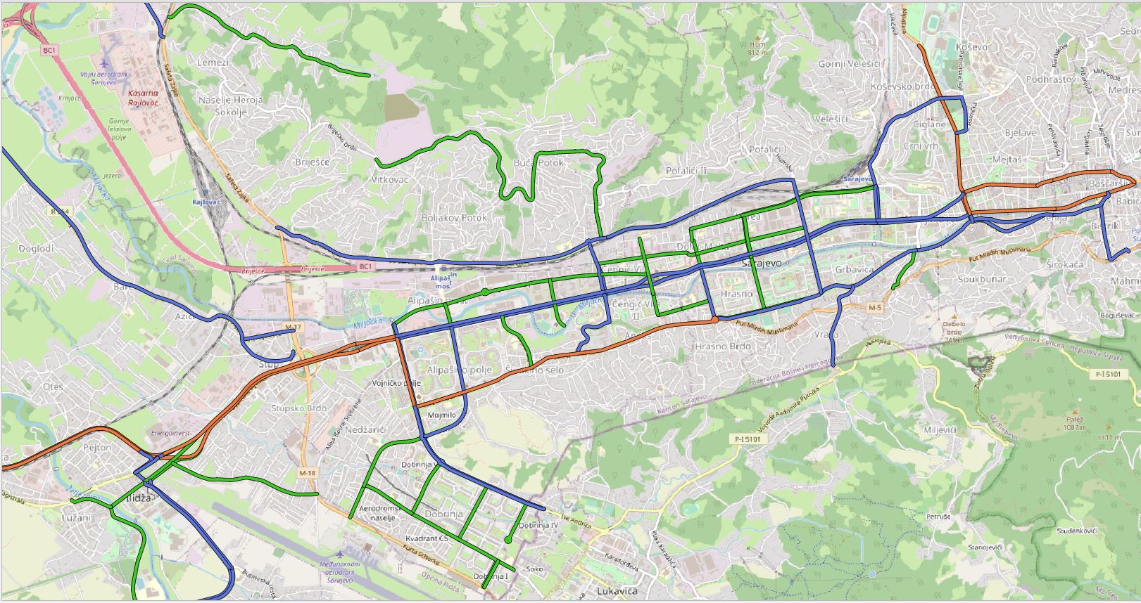
Graphic overview for Regional road network in Sarajevo Canton
Regional road network in Sarajevo Canton The regional road network of the Sarajevo Canton includes all roads that are under the responsibility of the Road Directorate … Bosnia and Herzegovina Jan. 1, 2020 Sarajevo Canton Road Directorate other Restrictions
Showing 4 of 4 records (filtered)