Showing 10 of 479 records (filtered)
Applied filters: Country: Bosnia and Herzegovina × Clear all filters
« first previous Page 13 of 48. next last »
Preview
Title
Abstract
Country
INSPIRE Theme
Publication Date
Responsible Party
Topic Categories
Keywords
Access Constraints
Actions
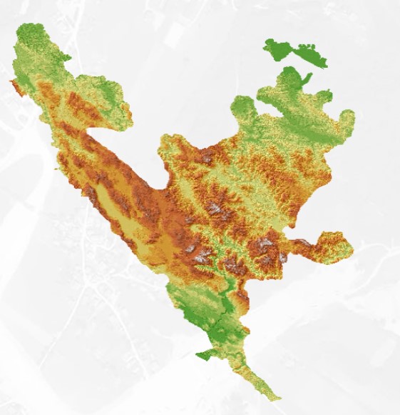
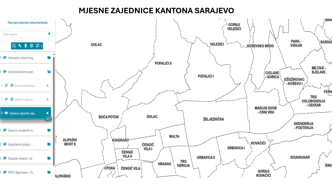
Graphic overview for Database of the boundaries of local communities of the Sarajevo Canton
Database of the boundaries of local communities of the Sarajevo Canton Within the local self-government system in the Sarajevo Canton, the local community is a mandatory and closest form of organizing … Bosnia and Herzegovina Jan. 1, 2003 Sarajevo Canton Development Planning Institute other Restrictions
🖼️
Demographic statistics Data on the population of the Federation of BiH and its demographic characteristics include data on the number of inhabitants, … Bosnia and Herzegovina None Federal Statistical Office other Restrictions
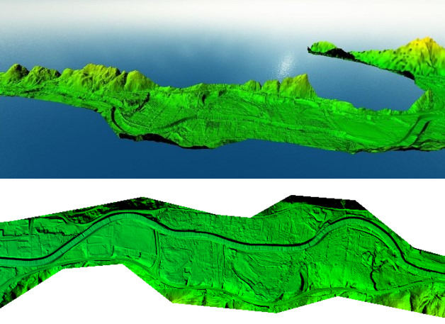
Graphic overview for Digital orthophoto 2018 (LiDAR project)
Digital orthophoto 2018 (LiDAR project) Within the project "Development of flood hazard and risk maps" in Bosnia and Herzegovina, one of the planned activities was … Bosnia and Herzegovina None Federal Administration for Geodetic and Property Legal Affairs other Restrictions
Graphic overview for Digital Terrain Model (LiDAR) 2018
Digital Terrain Model (LiDAR) 2018 digital terrain model (DTM) is a way of representing the terrain surface in digital form. Aerial laser scanning (LiDAR technology) … Bosnia and Herzegovina None Federal Administration for Geodetic and Property Legal Affairs other Restrictions
Graphic overview for Digital terrain model 25m
Digital terrain model 25m Digital terrain model of BiH area. The terrain model was mostly created by digitizing existing topographic maps 1:25000, as well … Bosnia and Herzegovina Jan. 1, 2003 Federal Administration for Geodetic and Property Legal Affairs other Restrictions
Graphic overview for Digital terrain model 50m
Digital terrain model 50m Digital terrain model of the FBiH area. The terrain model was created as part of the aerial photogrammetric survey of … Bosnia and Herzegovina Jan. 1, 2009 Federal Administration for Geodetic and Property Legal Affairs other Restrictions
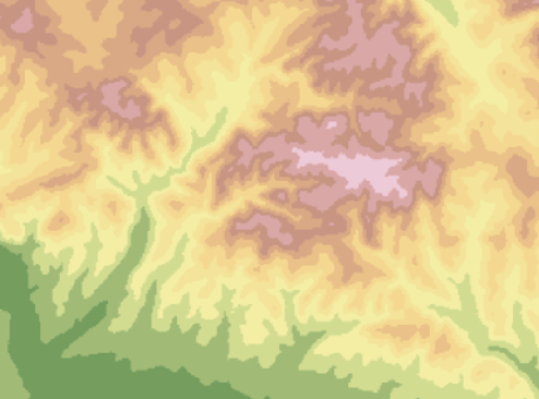
Graphic overview for Digital terrain model 5m
Digital terrain model 5m Digital terrain model of the territory of Bosnia and Herzegovina. The terrain model was created within the framework of aerial … Bosnia and Herzegovina Jan. 1, 2013 Federal Administration for Geodetic and Property Legal Affairs other Restrictions
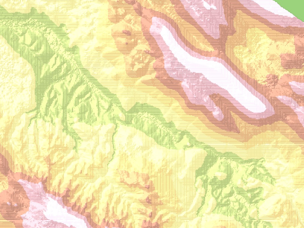
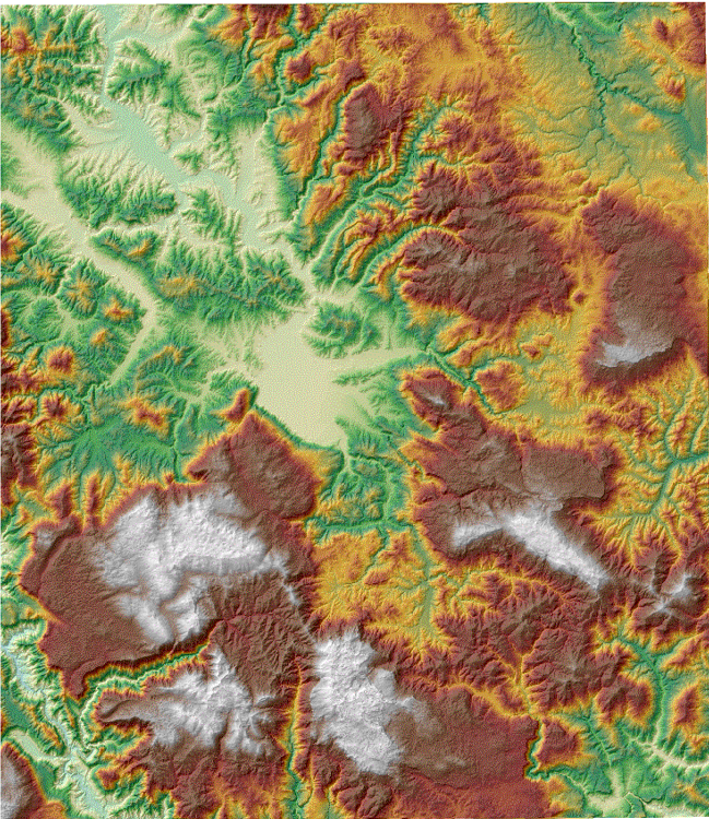
Graphic overview for Digital terrain model of Sarajevo Canton
Digital terrain model of Sarajevo Canton The digital terrain model shows the terrain with all its relief characteristics in a three-dimensional perspective, for the purpose of … Bosnia and Herzegovina None Ministry of Physical Planning and Environmental Protection of Sarajevo Canton other Restrictions
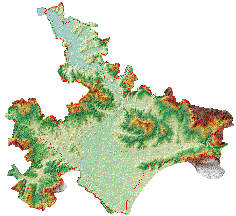
Graphic overview for Digital terrain model of the urban area of the Sarajevo Canton
Digital terrain model of the urban area of the Sarajevo Canton A digital terrain model is a set of positionally and height-determined points and geometric elements that display the terrain with … Bosnia and Herzegovina None Sarajevo Canton Development Planning Institute other Restrictions
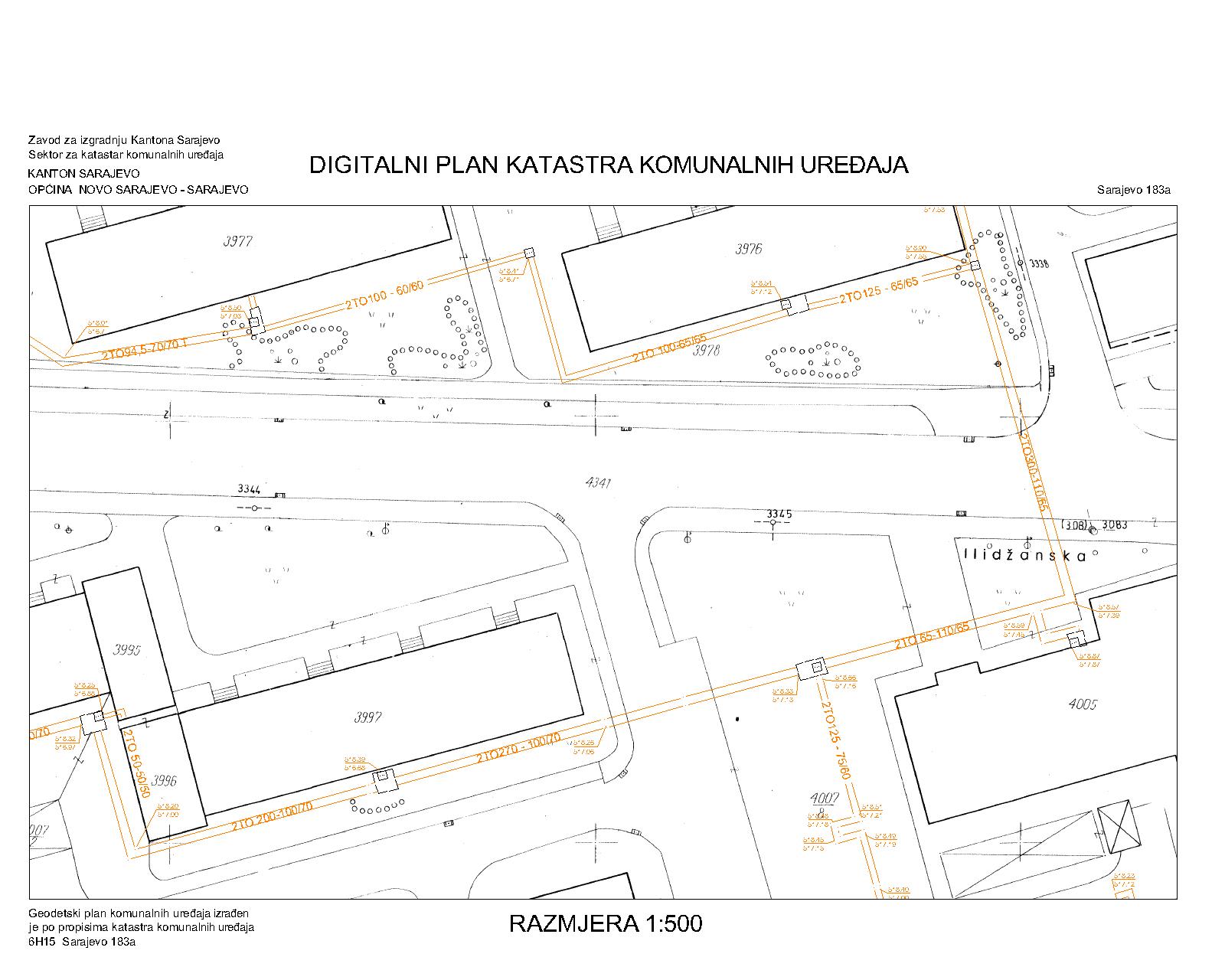
Graphic overview for District heating network
District heating network The utility cadastre is a special technical record in which data on all underground and above-ground utility installations are collected, … Bosnia and Herzegovina Jan. 1, 1982 Sarajevo Canton Construction Institute restricted
Showing 10 of 479 records (filtered)
« first previous Page 13 of 48. next last »