Showing 10 of 49 records (filtered)
Applied filters: Country: Bosnia and Herzegovina × Topic Category: boundaries × Clear all filters
« first previous Page 2 of 5. next last »
Preview
Title
Abstract
Country
INSPIRE Theme
Publication Date
Responsible Party
Topic Categories
Keywords
Access Constraints
Actions
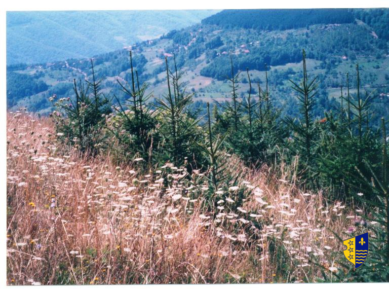
Graphic overview for Forestry basis for state forests of the Bosnian-Podrinje Canton Goražde
Forestry basis for state forests of the Bosnian-Podrinje Canton Goražde Data on state-owned forests and forest land in the territory of the Bosnian-Podrinje Canton Goražde. The validity date of the … Bosnia and Herzegovina None Cantonal Forestry Administration of the Bosnian-Podrinje Canton Goražde otherRestrictions
Graphic overview for Protected natural areas of Sarajevo Canton
Protected natural areas of Sarajevo Canton In the Cantonal Public Institution for Protected Natural Areas, the implementation of GIS software began in 2020 when the Gauss … Bosnia and Herzegovina Jan. 1, 2020 Cantonal Public Institution for Protected Natural Areas Sarajevo otherRestrictions
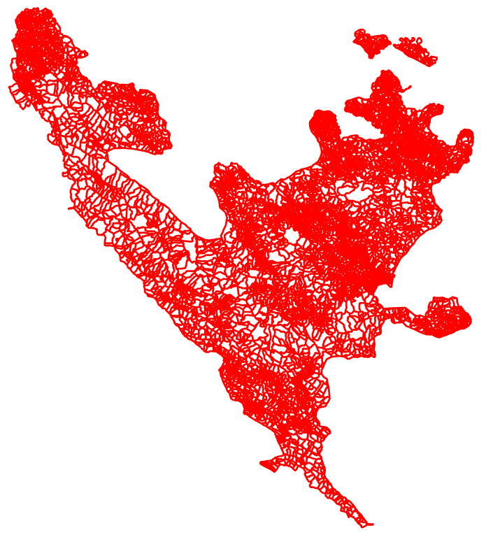
Graphic overview for Register of spatial units
Register of spatial units Units for distribution or use of statistical information. The register of spatial units is a record in which data on … Bosnia and Herzegovina None Federal Statistical Office otherRestrictions
🖼️
Regulatory plan "Pudin Han" Kljuc The "Puidin Han" Ključ Regulatory Plan for the period 2025 to 2035 is a binding detailed planning document that defines … Bosnia and Herzegovina March 3, 2025 Municipality of Ključ otherRestrictions
Graphic overview for Regulatory plan "Stup Nedžarići"
Regulatory plan "Stup Nedžarići" The detailed planning document, the Regulatory Plan "Stup Nedžarići", is based on the adopted land use policy, development strategies and … Bosnia and Herzegovina May 28, 2002 Sarajevo Canton Development Planning Institute otherRestrictions
Graphic overview for Regulatory plan of the "Igman Sports and Recreation Area"
Regulatory plan of the "Igman Sports and Recreation Area" The detailed planning document, the Regulatory Plan of the "Sports and Recreational Area of Bjelašnica", is based on the adopted … Bosnia and Herzegovina Feb. 11, 1982 Sarajevo Canton Development Planning Institute otherRestrictions
Graphic overview for Regulatory plan of the "Sports and Recreational Area of Bjelašnica"
Regulatory plan of the "Sports and Recreational Area of Bjelašnica" The detailed planning document, the Regulatory Plan of the "Sports and Recreational Area of Bjelašnica", is based on the adopted … Bosnia and Herzegovina Feb. 11, 1982 Sarajevo Canton Development Planning Institute otherRestrictions
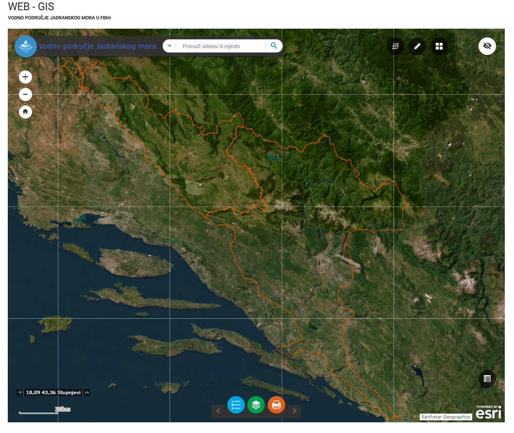
Graphic overview for River basins AVP Adriatic Sea
River basins AVP Adriatic Sea The surface of the land from which all surface runoff flows through a network of streams, rivers and possibly lakes … Bosnia and Herzegovina Jan. 1, 2008 Agency for the Adriatic Sea Water Area otherRestrictions
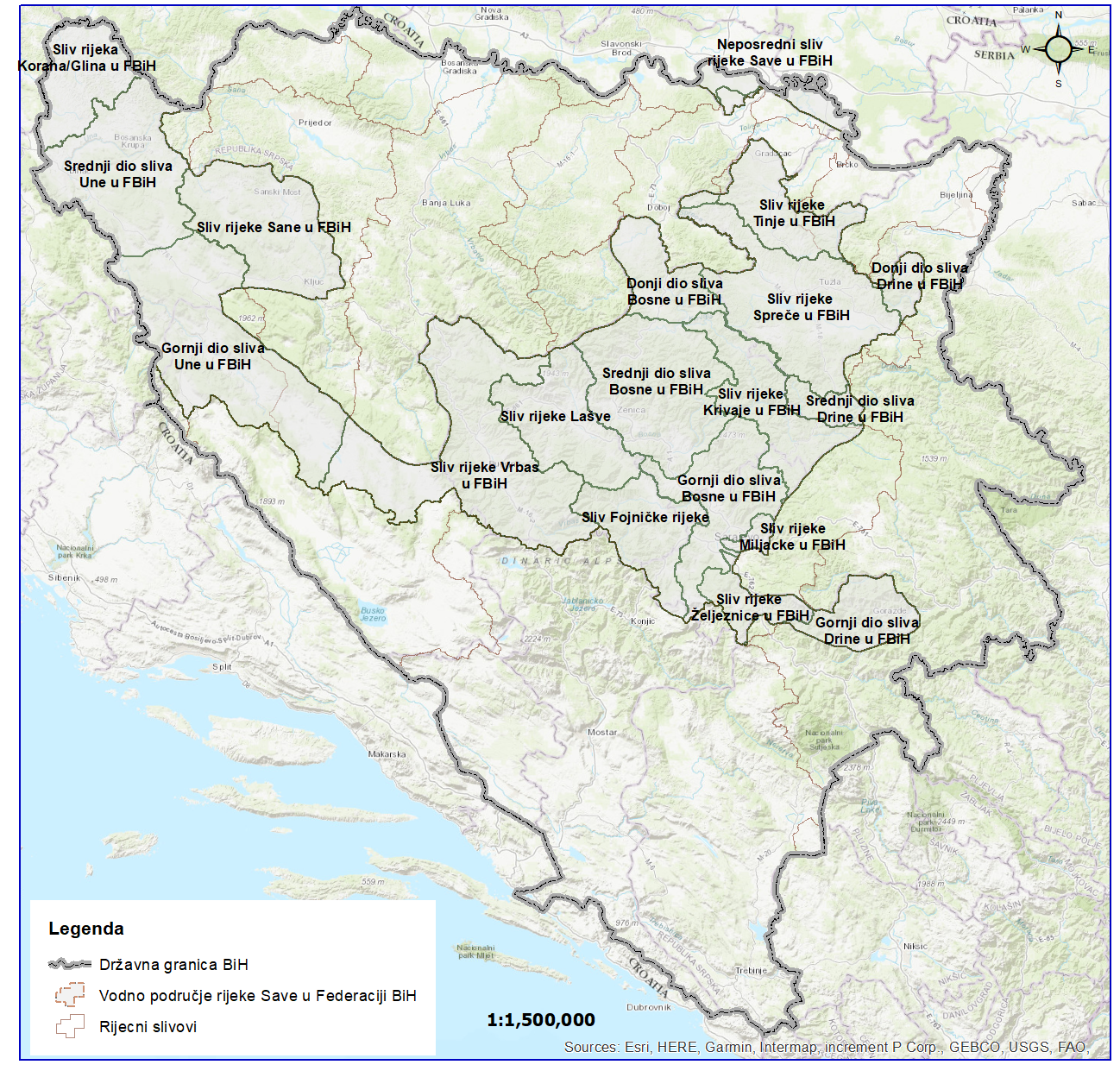
Graphic overview for River basins of the Sava River Basin
River basins of the Sava River Basin The area of land from which all surface runoff drains through a network of streams, rivers and eventually lakes towards … Bosnia and Herzegovina Jan. 1, 2008 Sava River Basin Agency otherRestrictions
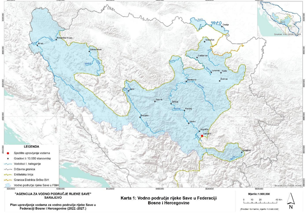
Graphic overview for Sava River Water Area
Sava River Water Area This dataset represents the Sava River basin in the Federation of Bosnia and Herzegovina. Bosnia and Herzegovina Jan. 1, 2008 Sava River Basin Agency otherRestrictions
Showing 10 of 49 records (filtered)
« first previous Page 2 of 5. next last »