Showing 9 of 19 records (filtered)
Applied filters: Country: Bosnia and Herzegovina × Topic Category: geoscientificInformation × Clear all filters
« first previous Page 2 of 2.
Preview
Title
Abstract
Country
INSPIRE Theme
Publication Date
Responsible Party
Topic Categories
Keywords
Access Constraints
Actions
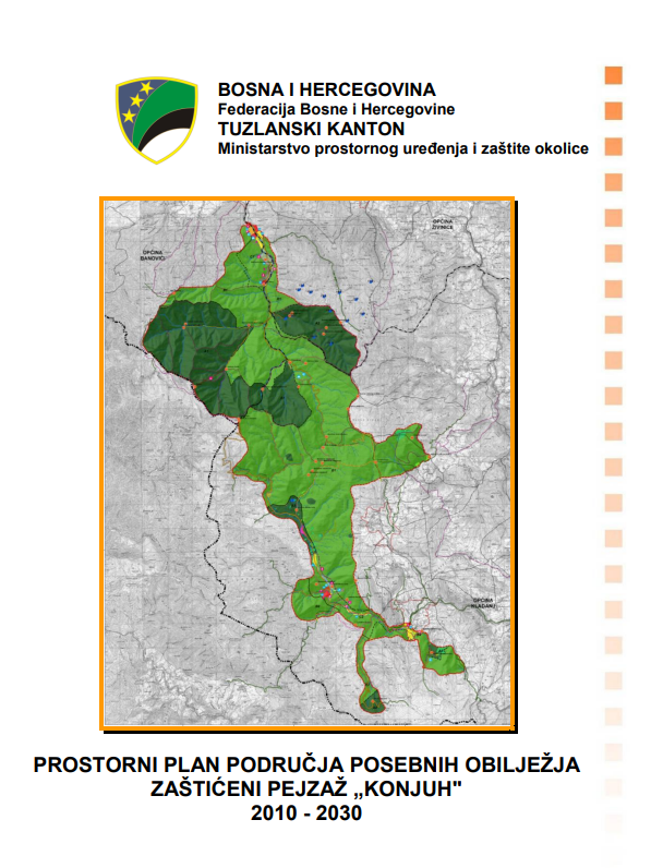
Graphic overview for Spatial plan of the area of special characteristics protected landscape Konjuh for the period 2010-2030.
Spatial plan of the area of special characteristics protected landscape Konjuh for the period 2010-2030. By declaring part of the Konjuh mountain to the category of protected landscape, the preconditions have been created for the … Bosnia and Herzegovina July 17, 2013 Ministry of Physical Planning and Environmental Protection of the Canton of Tuzla otherRestrictions
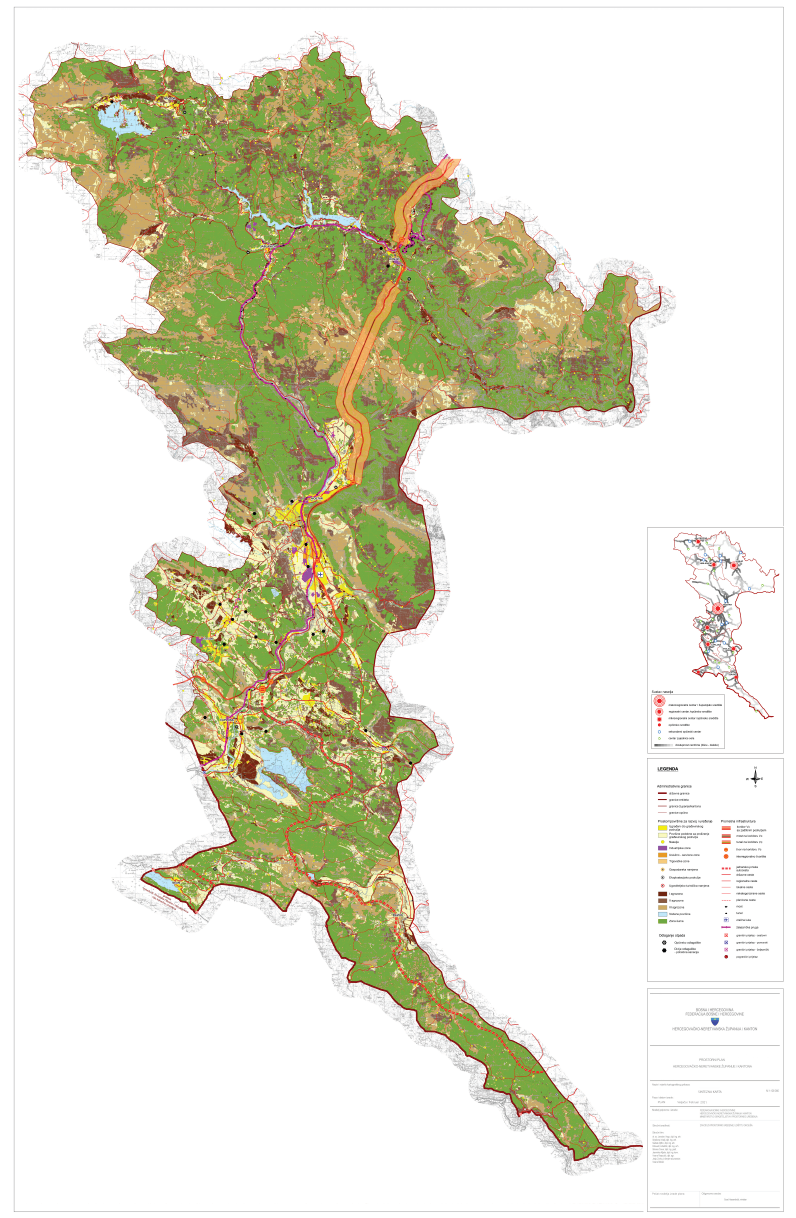
Graphic overview for Spatial plan of the Herzegovina-Neretva Canton/County
Spatial plan of the Herzegovina-Neretva Canton/County The Spatial Plan of the Herzegovina-Neretva County/Canton is a mandatory planning document for the territory of the County/Canton, which regulates … Bosnia and Herzegovina None Ministry of Construction and Spatial Planning of Herzegovina-Neretva Canton/County otherRestrictions
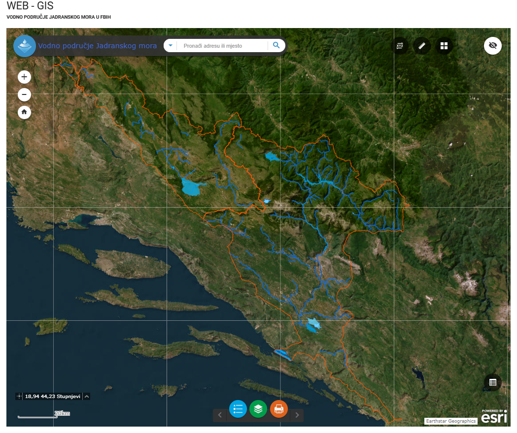
Graphic overview for Water area of the Adriatic Sea
Water area of the Adriatic Sea This dataset represents the Adriatic Sea water area in the Federation of Bosnia and Herzegovina. Bosnia and Herzegovina Jan. 1, 2008 Agency for the Adriatic Sea Water Area otherRestrictions
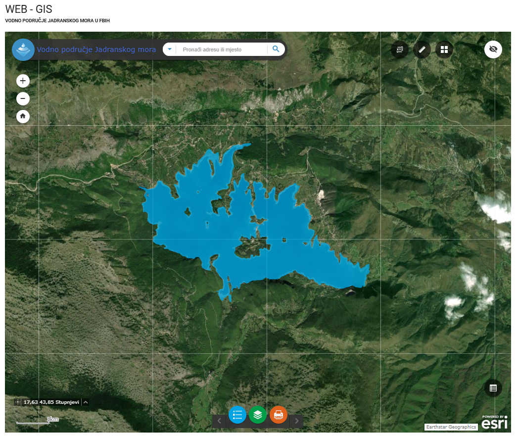
Graphic overview for Water stills AVP Adriatic Sea
Water stills AVP Adriatic Sea This data set contains all standing water (lakes, ponds, wetlands and reservoirs) in the Adriatic Sea catchment area managed by … Bosnia and Herzegovina Jan. 1, 2008 Agency for the Adriatic Sea Water Area otherRestrictions
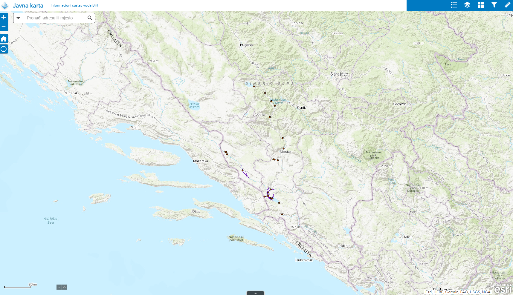
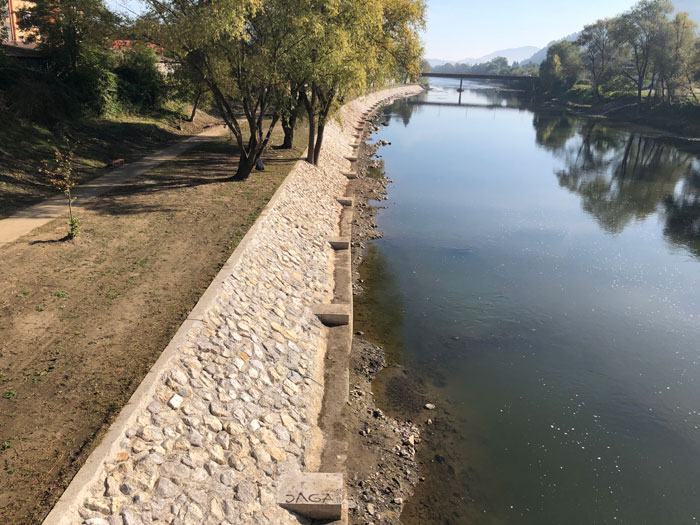
Graphic overview for Water structures AVP Adriatic Sea
Water structures AVP Adriatic Sea Water structures represent longitudinal water structures: embankments, and transverse water structures: dams, dams, pumping stations, flood defense centers in the … Bosnia and Herzegovina Jan. 1, 2008 Agency for the Adriatic Sea Water Area otherRestrictions
Graphic overview for Water structures of the Sava River
Water structures of the Sava River Water structures are longitudinal water structures: embankments, and transverse water structures: dams, weirs, pumping stations, flood protection centers in the … Bosnia and Herzegovina None Sava River Basin Agency otherRestrictions
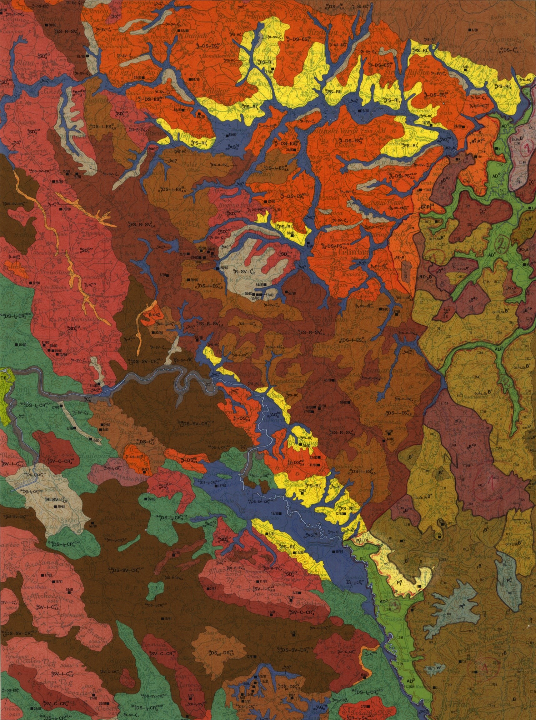
Graphic overview for Basic pedological map of Bosnia and Herzegovina
Basic pedological map of Bosnia and Herzegovina The main source of soil data in Bosnia and Herzegovina is the Basic Pedological Map at a scale of 1:50,000. … Bosnia and Herzegovina Jan. 1, 1964 Federal Institute for Agropedology other Restrictions
Graphic overview for Register of hydrological data
Register of hydrological data The hydrological yearbook contains collected and processed data from the network of hydrological and meteorological stations of the Sava river … Bosnia and Herzegovina Jan. 1, 1919 Federal Hydrometeorological Institute other Restrictions
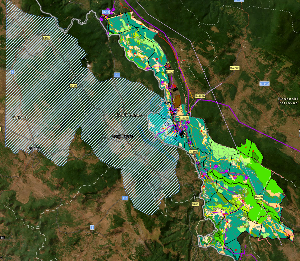
Graphic overview for Spatial plan "Una River Basin"
Spatial plan "Una River Basin" The Spatial Plan of the Area of Special Characteristics of Importance for the Federation of BiH "Una River Basin" for … Bosnia and Herzegovina None Federal Ministry of Physical Planning other Restrictions
Showing 9 of 19 records (filtered)
« first previous Page 2 of 2.