Showing 10 of 479 records (filtered)
Applied filters: Country: Bosnia and Herzegovina × Clear all filters
« first previous Page 3 of 48. next last »
Preview
Title
Abstract
Country
INSPIRE Theme
Publication Date
Responsible Party
Topic Categories
Keywords
Access Constraints
Actions
Graphic overview for Forestry basis for state forests of the Bosnian-Podrinje Canton Goražde
Forestry basis for state forests of the Bosnian-Podrinje Canton Goražde Data on state-owned forests and forest land in the territory of the Bosnian-Podrinje Canton Goražde. The validity date of the … Bosnia and Herzegovina None Cantonal Forestry Administration of the Bosnian-Podrinje Canton Goražde otherRestrictions
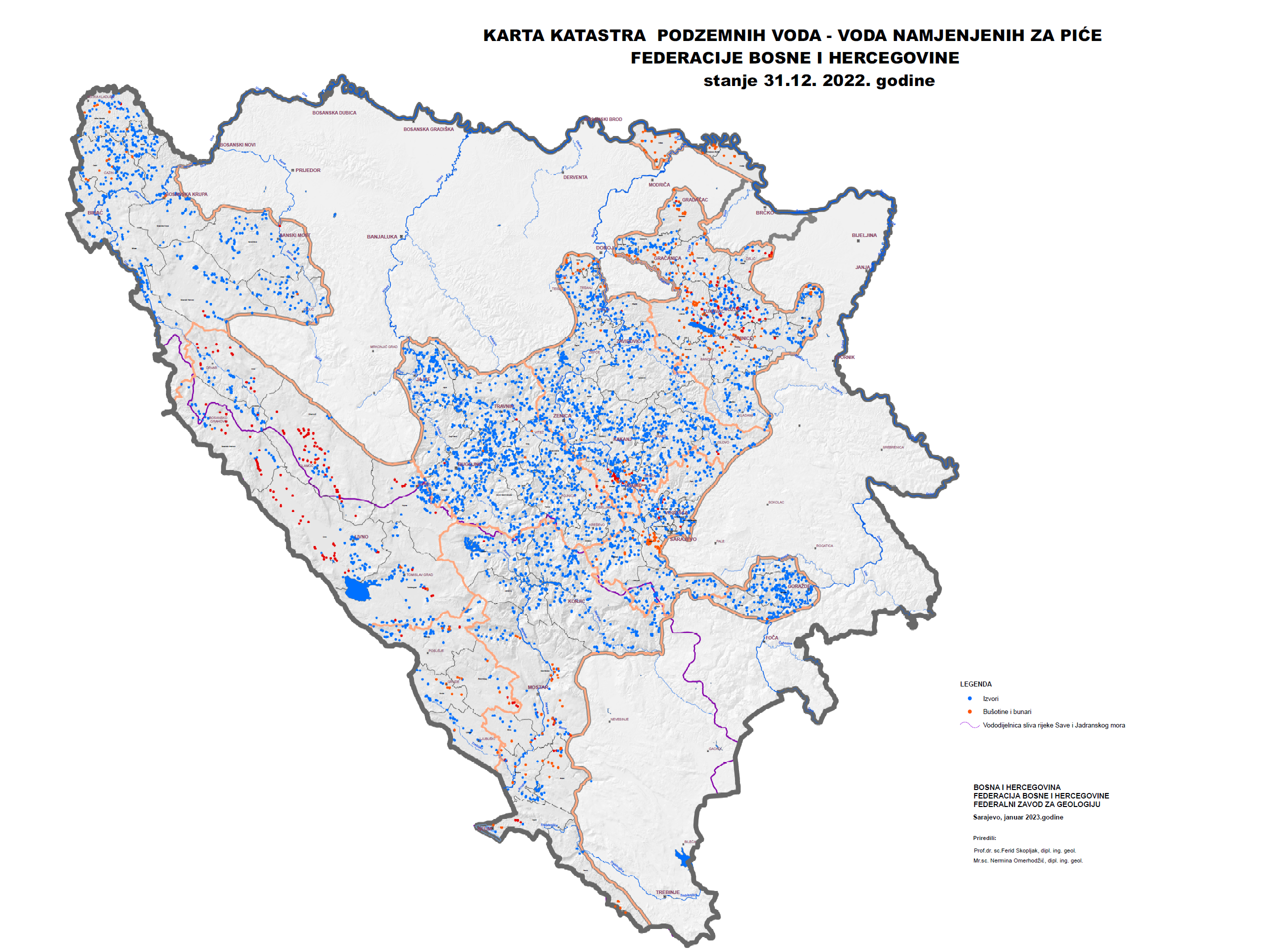
Graphic overview for Groundwater Cadastre of the Federation of Bosnia and Herzegovina
Groundwater Cadastre of the Federation of Bosnia and Herzegovina The Groundwater Register of the Federation of Bosnia and Herzegovina is a comprehensive document that includes cadastral lists of groundwater … Bosnia and Herzegovina None Federal Institute of Geology otherRestrictions
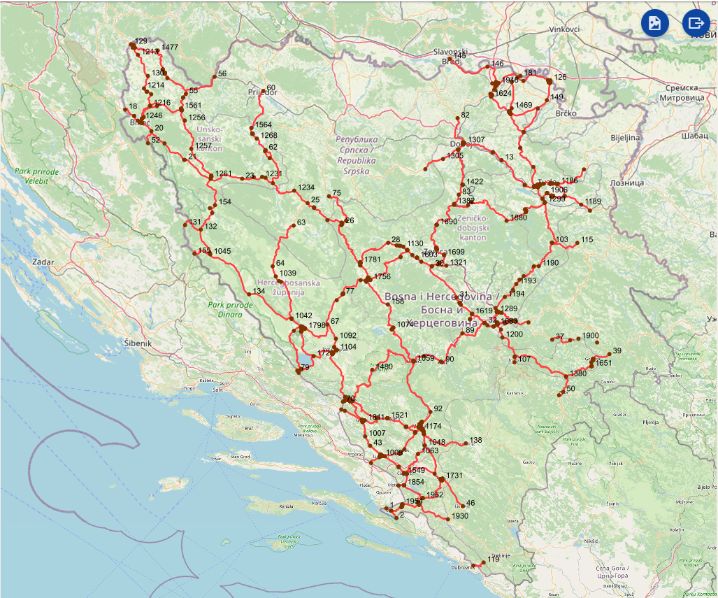
Graphic overview for Intersections on the main road network of the Federation of Bosnia and Herzegovina
Intersections on the main road network of the Federation of Bosnia and Herzegovina A road junction is a point spatial object that marks the junction of two or more road sections or another … Bosnia and Herzegovina Jan. 1, 2025 PC Roads of the Federation of Bosnia and Herzegovina doo Sarajevo otherRestrictions
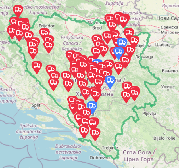
Graphic overview for Landfills for waste disposal in the territory of the Federation of BiH
Landfills for waste disposal in the territory of the Federation of BiH Basic information and overview of landfills in the FBiH Bosnia and Herzegovina July 20, 2025 FBiH Environmental Protection Fund otherRestrictions
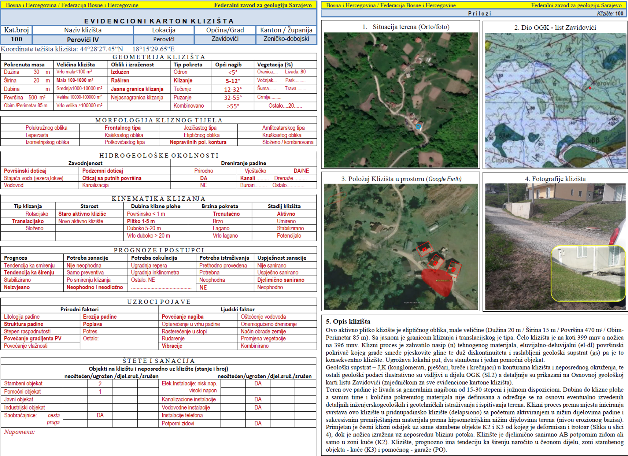
Graphic overview for Landslide Cadastre of the Federation of Bosnia and Herzegovina
Landslide Cadastre of the Federation of Bosnia and Herzegovina The Landslide Cadastre of the Federation of Bosnia and Herzegovina represents a central database of registered landslides in the territory … Bosnia and Herzegovina None Federal Institute of Geology otherRestrictions
Graphic overview for List of registered potential cultural and historical heritage assets in the area of the Croatian National Theatre
List of registered potential cultural and historical heritage assets in the area of the Croatian National Theatre The list of registered potential properties is a list of all potential cultural heritage properties that have been registered with … Bosnia and Herzegovina None Institute for the Protection of Cultural-Historical Heritage / Historical Heritage of HNK/Ž otherRestrictions
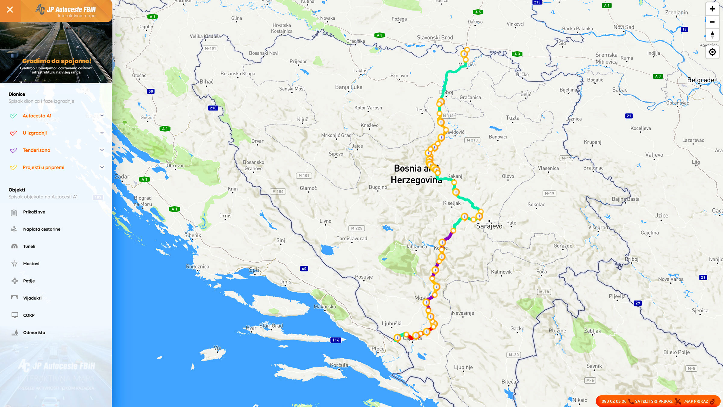
Graphic overview for Nodes
Nodes The nodal point represents the position (point element) that represents the place (position) of the beginning of the section or … Bosnia and Herzegovina None PC Highways of FBiH otherRestrictions
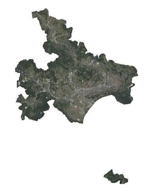
Graphic overview for Orthophoto 2017
Orthophoto 2017 Digital orthophoto images of the Sarajevo Canton area at a scale of 1:2500, created based on aerial photogrammetric imaging. The … Bosnia and Herzegovina Jan. 1, 2018 Federal Administration for Geodetic and Property Legal Affairs otherRestrictions
Graphic overview for Pasture cadastre
Pasture cadastre The management of state pastures in the Federation is entrusted to the cantons. The canton on whose territory the pastures … Bosnia and Herzegovina None Ministry of Agriculture, Forestry and Water Management of Zenica-Doboj Canton otherRestrictions
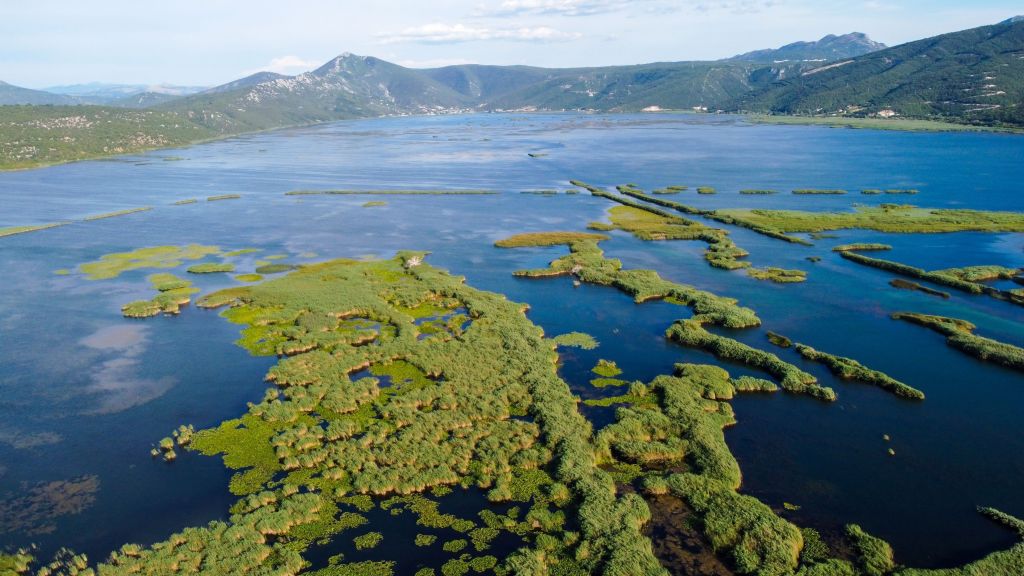
Graphic overview for PPPPO Nature Park Hutovo Blato
PPPPO Nature Park Hutovo Blato The area of the Hutovo Blato Nature Park is a protected area, in 1995 Hutovo Blato was declared a Nature … Bosnia and Herzegovina Oct. 7, 2016 Ministry of Construction and Spatial Planning CNK otherRestrictions
Showing 10 of 479 records (filtered)
« first previous Page 3 of 48. next last »