Showing 10 of 50 records (filtered)
Applied filters: Country: Bosnia and Herzegovina × Topic Category: location × Clear all filters
« first previous Page 4 of 5. next last »
Preview
Title
Abstract
Country
INSPIRE Theme
Publication Date
Responsible Party
Topic Categories
Keywords
Access Constraints
Actions
Graphic overview for Study "Inventory of the state and updating of data on agricultural areas of the Sarajevo Canton"
Study "Inventory of the state and updating of data on agricultural areas of the Sarajevo Canton" The subject of the Study is to determine the current state of land cover in the Sarajevo Canton by land … Bosnia and Herzegovina Feb. 1, 2024 Ministry of Municipal Economy, Infrastructure, Spatial Planning, Construction and Environmental Protection of Sarajevo Canton otherRestrictions
Graphic overview for Suspected dangerous surface
Suspected dangerous surface A suspected hazardous area (SOPO) refers to an area where there is reasonable suspicion of contamination, based on indirect evidence … Bosnia and Herzegovina None Mine Action Center in Bosnia and Herzegovina otherRestrictions
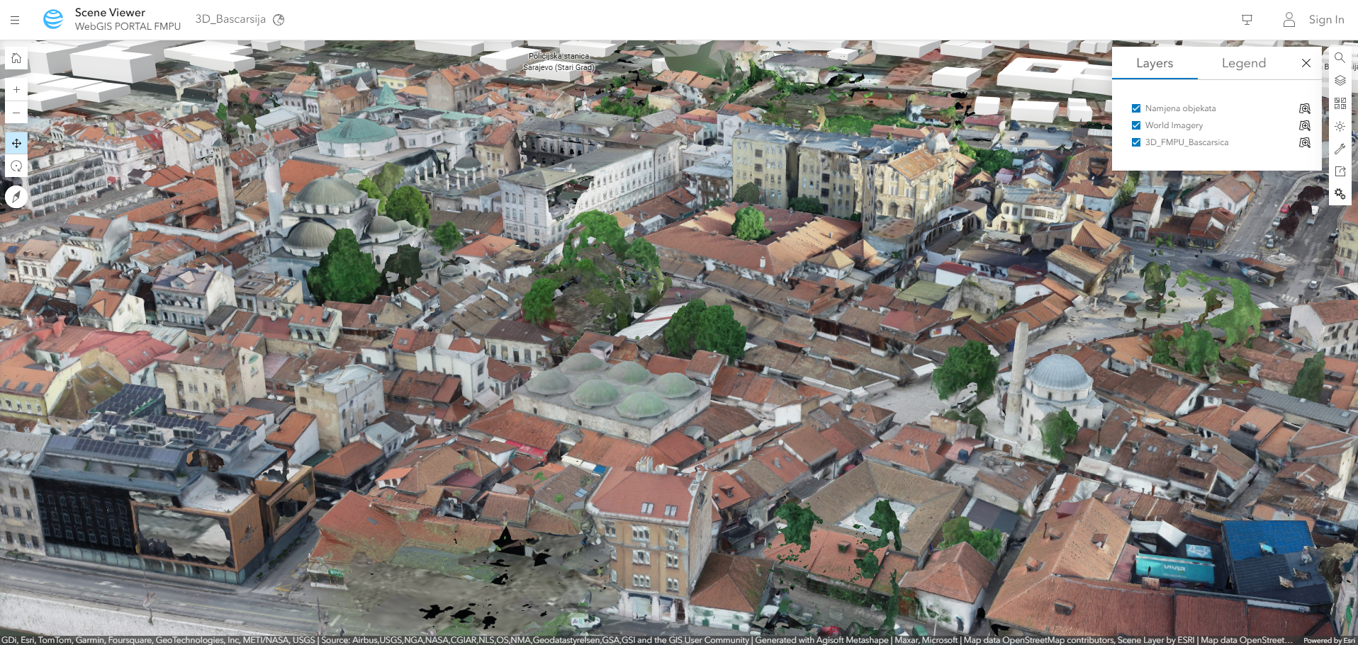
Graphic overview for A snapshot of the current state of Baščaršija
A snapshot of the current state of Baščaršija Updated digital basis from May - June 2023 for the development of the Regulatory Plan of the Sarajevo Bazaar. Bosnia and Herzegovina None Federal Ministry of Physical Planning other Restrictions
Graphic overview for Address register of the Federation of Bosnia and Herzegovina
Address register of the Federation of Bosnia and Herzegovina Address register data of the Federation of BiH, which is kept in the databases of local self-government units and replicated … Bosnia and Herzegovina Jan. 1, 2021 Federal Administration for Geodetic and Property Legal Affairs other Restrictions
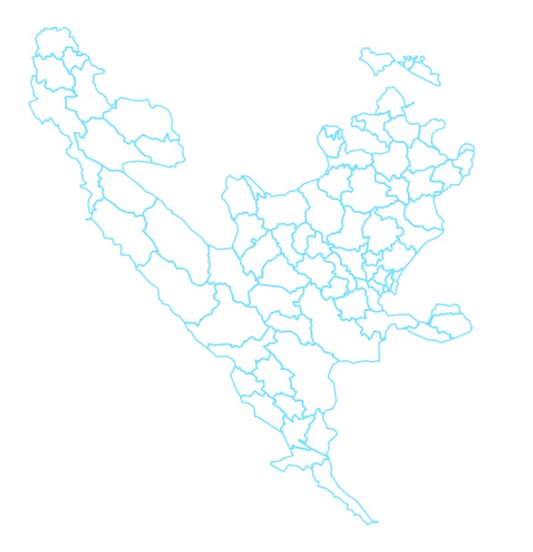
Graphic overview for Administrative units
Administrative units The data set of administrative units according to the Register of Spatial Units contains boundaries, names and codes for the … Bosnia and Herzegovina None Federal Administration for Geodetic and Property Legal Affairs other Restrictions
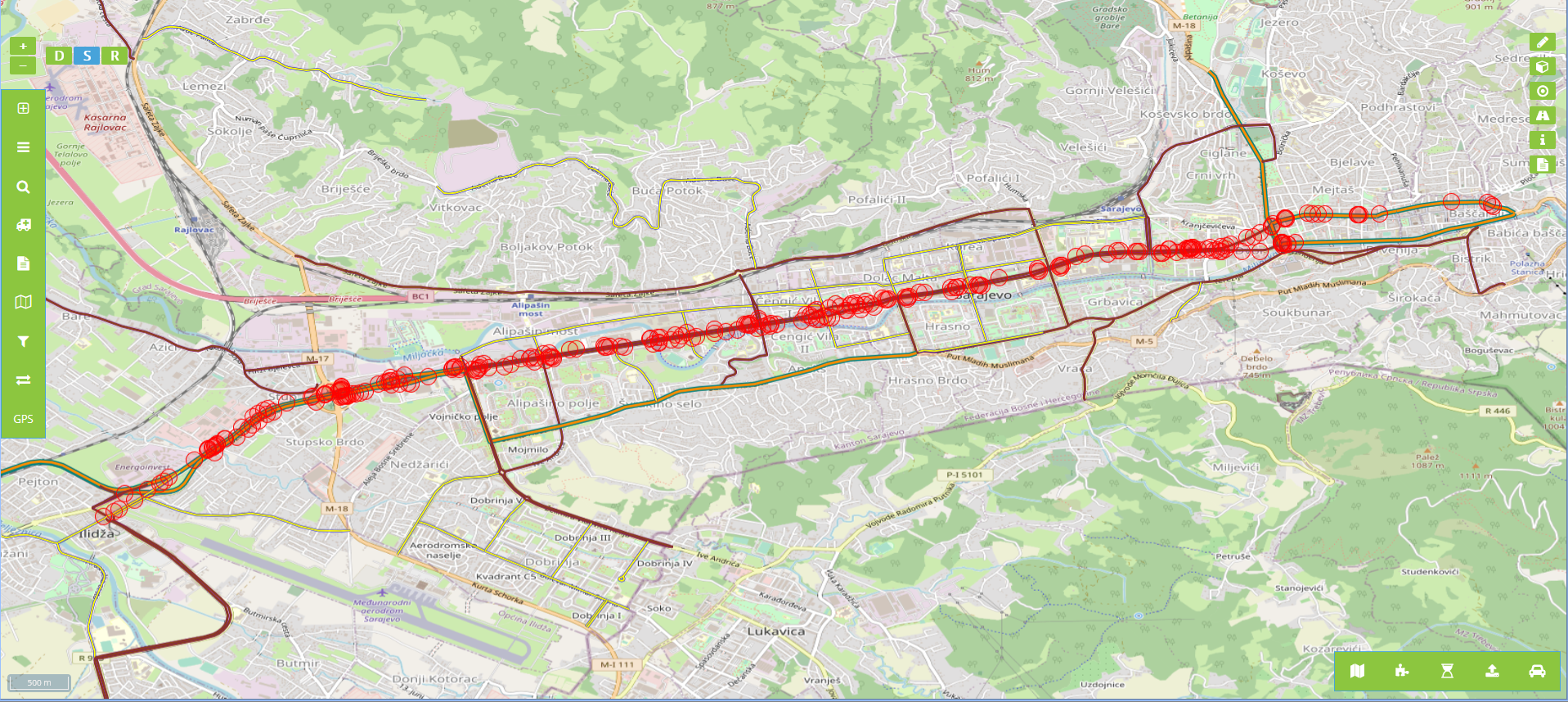
Graphic overview for Billboards in the protective zone of road communication under the jurisdiction of the Road Directorate of the Sarajevo Canton
Billboards in the protective zone of road communication under the jurisdiction of the Road Directorate of the Sarajevo Canton Billboards in the protective zone of the road communication under the jurisdiction of the Sarajevo Canton Road Directorate consist of … Bosnia and Herzegovina Jan. 1, 2020 Sarajevo Canton Road Directorate other Restrictions
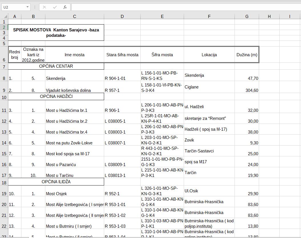
Graphic overview for Bridges on road traffic managed by the Directorate for Roads of Canton Sarajevo
Bridges on road traffic managed by the Directorate for Roads of Canton Sarajevo A bridge is a road structure that is an integral part of a public road. There are 58 bridges on … Bosnia and Herzegovina Jan. 1, 2012 Sarajevo Canton Road Directorate other Restrictions
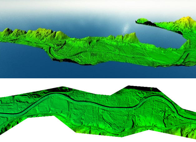
Graphic overview for Digital Terrain Model (LiDAR) 2018
Digital Terrain Model (LiDAR) 2018 digital terrain model (DTM) is a way of representing the terrain surface in digital form. Aerial laser scanning (LiDAR technology) … Bosnia and Herzegovina None Federal Administration for Geodetic and Property Legal Affairs other Restrictions
Graphic overview for Geographical names
Geographical names The Register of Geographic Names contains geographical names in the territory of the Federation of Bosnia and Herzegovina from the … Bosnia and Herzegovina None Federal Administration for Geodetic and Property Legal Affairs other Restrictions
Graphic overview for Management plan for the recycling yard at RCUO "Smiljevići"
Management plan for the recycling yard at RCUO "Smiljevići" A recycling yard has been opened within the Regional Waste Management Center Smiljevići, intended for the sorting and temporary storage … Bosnia and Herzegovina April 1, 2018 KJKP "RAD" doo Sarajevo copyright
Showing 10 of 50 records (filtered)
« first previous Page 4 of 5. next last »