Showing 10 of 479 records (filtered)
Applied filters: Country: Bosnia and Herzegovina × Clear all filters
« first previous Page 9 of 48. next last »
Preview
Title
Abstract
Country
INSPIRE Theme
Publication Date
Responsible Party
Topic Categories
Keywords
Access Constraints
Actions
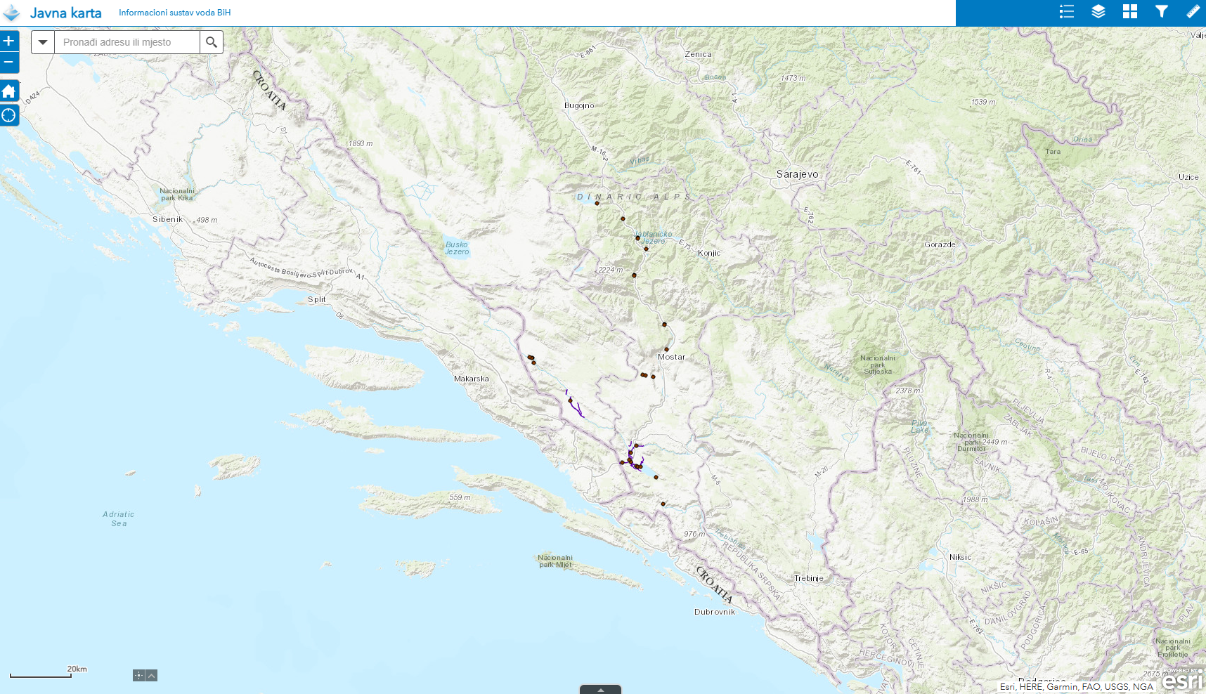
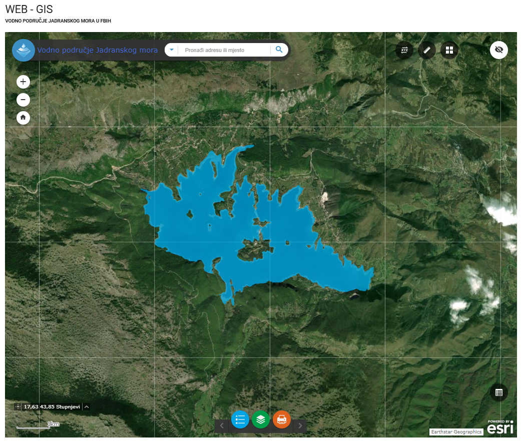
Graphic overview for Water stills AVP Adriatic Sea
Water stills AVP Adriatic Sea This data set contains all standing water (lakes, ponds, wetlands and reservoirs) in the Adriatic Sea catchment area managed by … Bosnia and Herzegovina Jan. 1, 2008 Agency for the Adriatic Sea Water Area otherRestrictions
Graphic overview for Water structures AVP Adriatic Sea
Water structures AVP Adriatic Sea Water structures represent longitudinal water structures: embankments, and transverse water structures: dams, dams, pumping stations, flood defense centers in the … Bosnia and Herzegovina Jan. 1, 2008 Agency for the Adriatic Sea Water Area otherRestrictions
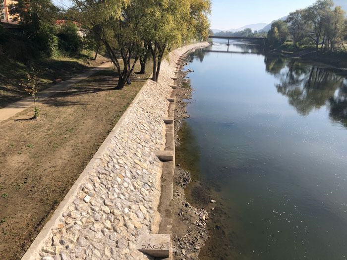
Graphic overview for Water structures of the Sava River
Water structures of the Sava River Water structures are longitudinal water structures: embankments, and transverse water structures: dams, weirs, pumping stations, flood protection centers in the … Bosnia and Herzegovina None Sava River Basin Agency otherRestrictions
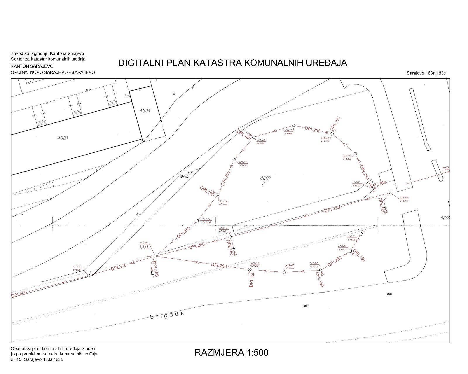
Graphic overview for Drainage network
Drainage network The utility cadastre is a special technical record in which data on all underground and above-ground utility installations are collected, … Bosnia and Herzegovina Jan. 1, 1982 Sarajevo Canton Construction Institute other Restrictions
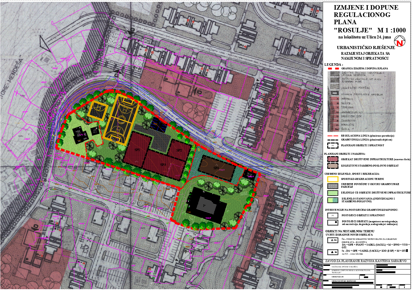
Graphic overview for Regulatory plan "Spatial units Rosulje" Vogošća
Regulatory plan "Spatial units Rosulje" Vogošća The detailed planning document, the Regulatory Plan "Spatial Units of Rosulje" Vogošća, is based on the adopted land use policy, … Bosnia and Herzegovina Sept. 30, 1980 Sarajevo Canton Development Planning Institute other Restrictions
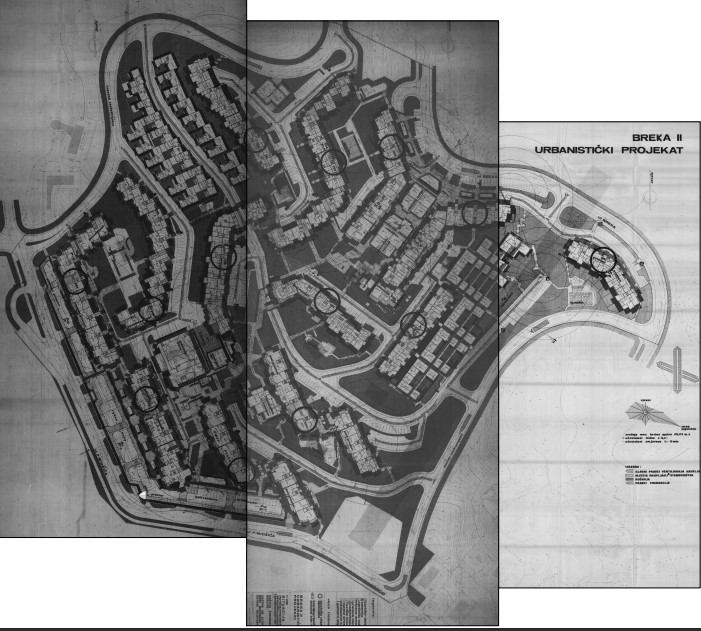
Graphic overview for Urban planning project "Residential settlement Breka II"
Urban planning project "Residential settlement Breka II" The detailed planning document of the urban development project "Residential settlement Breka II" is based on the adopted land use … Bosnia and Herzegovina Oct. 27, 1981 Sarajevo Canton Development Planning Institute other Restrictions
Graphic overview for Near-Real-Time Meteorological Synoptic Observations (SYNOP) for Bosnia and Herzegovina
Near-Real-Time Meteorological Synoptic Observations (SYNOP) for Bosnia and Herzegovina This dataset comprises near-real-time synoptic weather reports (SYNOP) from meteorological stations across Bosnia and Herzegovina. The data includes key atmospheric … Bosnia and Herzegovina Oct. 19, 2025 Bosnia and Herzegovina: Federal Hydrometeorological Institute of Bosnia and Herzegovina Open Data
Graphic overview for Protected landscape "Bijambara"
Protected landscape "Bijambara" In the area of the Bijambare ZP, 8 speleological objects have been recorded, of which the middle one is used … Bosnia and Herzegovina Jan. 1, 2020 Cantonal Public Institution for Protected Natural Areas other Restrictions
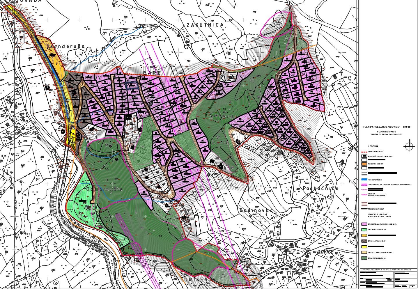
Graphic overview for "Ilovica" subdivision plan
"Ilovica" subdivision plan The detailed planning document of the "Ilovica" subdivision plan is based on the adopted land use policy, development strategies and … Bosnia and Herzegovina Oct. 3, 2011 Sarajevo Canton Development Planning Institute other Restrictions
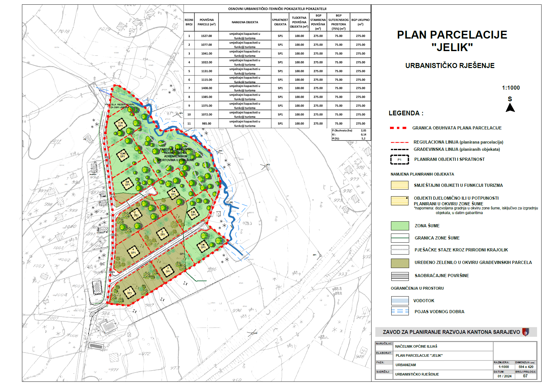
Graphic overview for "Jelik" subdivision plan
"Jelik" subdivision plan The detailed planning document, the "Jelik" subdivision plan, is based on the adopted land use policy, development strategies and programs, … Bosnia and Herzegovina July 31, 2024 Sarajevo Canton Development Planning Institute other Restrictions
Showing 10 of 479 records (filtered)
« first previous Page 9 of 48. next last »