Showing 4 of 4 records (filtered)
Applied filters: Country: North Macedonia × Keywords: zones × Clear all filters
Preview
Title
Abstract
Country
INSPIRE Theme
Publication Date
Responsible Party
Topic Categories
Keywords
Access Constraints
Actions
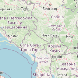
Graphic overview for Fire index map, dataset metadata
Fire index map, dataset metadata The data was created by the Crisis Management Center based on meteorological data and forest inventory data from the PE … North Macedonia Jan. 1, 2012 Crisis Management Center otherRestrictions
Graphic overview for Hotspots, dataset metadata
Hotspots, dataset metadata The hotspot dataset is obtained from two satellites: (MODIS and VIRS). The hotspot data is obtained at a time interval … North Macedonia Not specified Jan. 1, 2012 Crisis Management Center otherRestrictions
Graphic overview for Spatial plan of the region of the protected zones of the Rašče spring
Spatial plan of the region of the protected zones of the Rašče spring The Spatial Plan of the Region of the Protection Zones of the Rasce Spring is a development of the Spatial … North Macedonia Dec. 24, 2002 Spatial Planning Agency otherRestrictions
Graphic overview for OpenStreetMap Traffic Polygons for North Macedonia
OpenStreetMap Traffic Polygons for North Macedonia Traffic related areas from OpenStreetMap for North Macedonia North Macedonia Oct. 19, 2024 OpenStreetMap Contributors Open Database License
Showing 4 of 4 records (filtered)