Showing 10 of 17 records (filtered)
Applied filters: Topic Category: boundaries × Keywords: National × INSPIRE Theme: AD: Addresses × Clear all filters
Page 1 of 2. next last »
Preview
Title
Abstract
Country
INSPIRE Theme
Publication Date
Responsible Party
Topic Categories
Keywords
Access Constraints
Actions
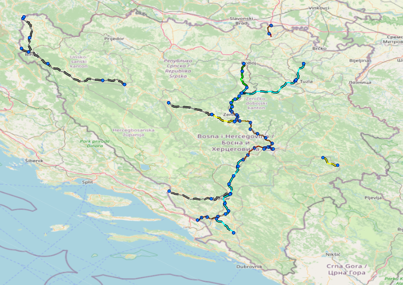
Graphic overview for Facilities under the jurisdiction of the Highway Federation of Bosnia and Herzegovina
Facilities under the jurisdiction of the Highway Federation of Bosnia and Herzegovina Tollbooths, rest areas, Grnični prešel, COKP, permanent facilities (bridge, tunnel, viaduct, ramp, overpass, underpass and culverts) and auxiliary facilities Bosnia and Herzegovina None JP Highways of the Federation of BiH doo Mostar otherRestrictions
Graphic overview for National Parks of the Republic of Macedonia, dataset metadata
National Parks of the Republic of Macedonia, dataset metadata The national parks of the Republic of Macedonia are Mavrovo, Pelister, Galicica and Shar Planina. North Macedonia Jan. 1, 2021 Ministry of Environment and Physical Planning otherRestrictions
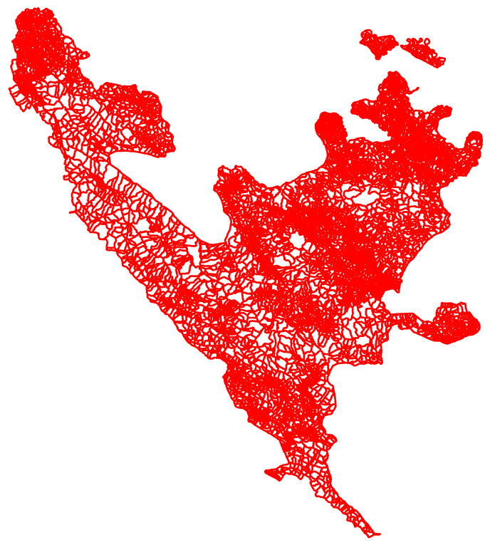
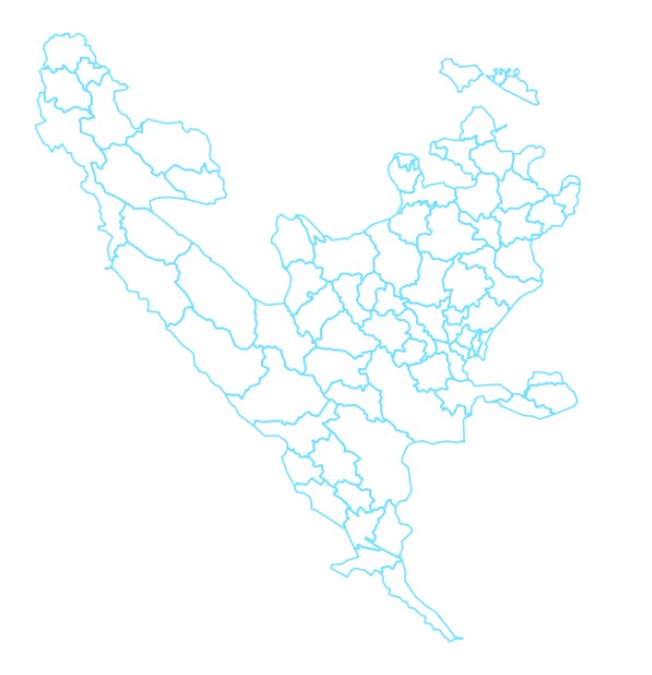
Graphic overview for Register of spatial units
Register of spatial units Units for distribution or use of statistical information. The register of spatial units is a record in which data on … Bosnia and Herzegovina None Federal Statistical Office otherRestrictions
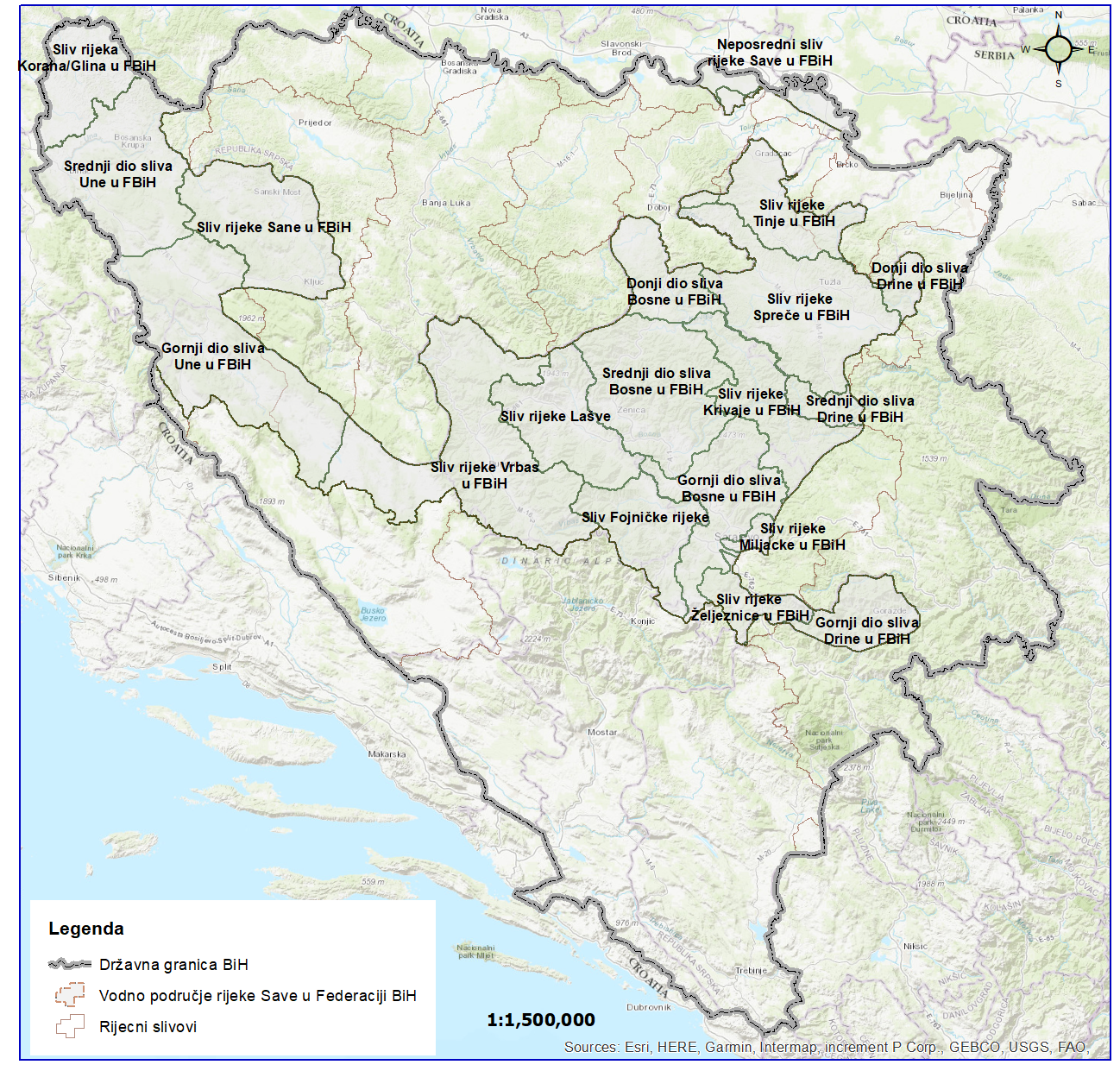
Graphic overview for River basins AVP Adriatic Sea
River basins AVP Adriatic Sea The surface of the land from which all surface runoff flows through a network of streams, rivers and possibly lakes … Bosnia and Herzegovina Jan. 1, 2008 Agency for the Adriatic Sea Water Area otherRestrictions
Graphic overview for River basins of the Sava River Basin
River basins of the Sava River Basin The area of land from which all surface runoff drains through a network of streams, rivers and eventually lakes towards … Bosnia and Herzegovina Jan. 1, 2008 Sava River Basin Agency otherRestrictions
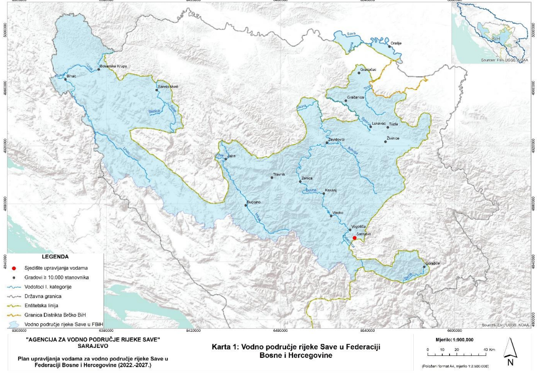
Graphic overview for Sava River Water Area
Sava River Water Area This dataset represents the Sava River basin in the Federation of Bosnia and Herzegovina. Bosnia and Herzegovina Jan. 1, 2008 Sava River Basin Agency otherRestrictions
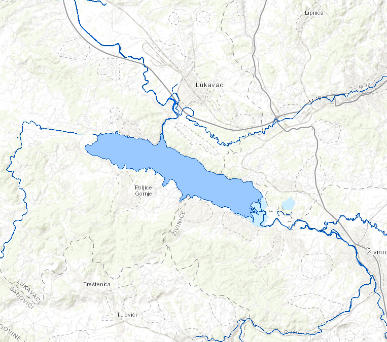
Graphic overview for Standing waters of the Sava River
Standing waters of the Sava River This data set contains all stagnant waters (lakes, ponds, wetlands and reservoirs) in the Sava river basin managed by AVP … Bosnia and Herzegovina Jan. 1, 2008 Sava River Basin Agency otherRestrictions
Graphic overview for Suspected dangerous surface
Suspected dangerous surface A suspected hazardous area (SOPO) refers to an area where there is reasonable suspicion of contamination, based on indirect evidence … Bosnia and Herzegovina None Mine Action Center in Bosnia and Herzegovina otherRestrictions
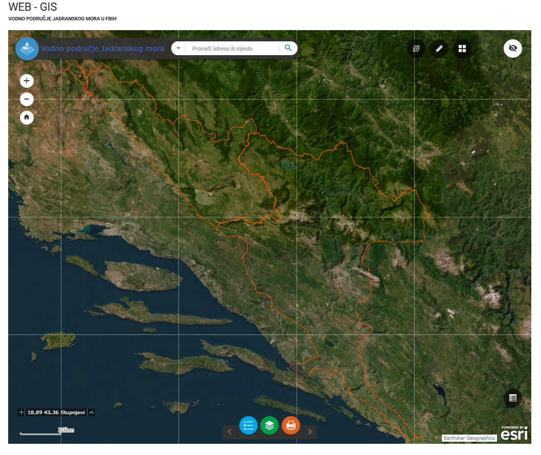
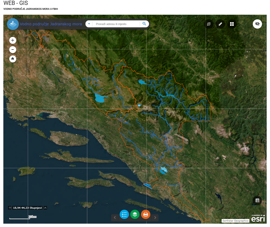
Graphic overview for Water area of the Adriatic Sea
Water area of the Adriatic Sea This dataset represents the Adriatic Sea water area in the Federation of Bosnia and Herzegovina. Bosnia and Herzegovina Jan. 1, 2008 Agency for the Adriatic Sea Water Area otherRestrictions
Graphic overview for Administrative units
Administrative units The data set of administrative units according to the Register of Spatial Units contains boundaries, names and codes for the … Bosnia and Herzegovina None Federal Administration for Geodetic and Property Legal Affairs other Restrictions
Showing 10 of 17 records (filtered)
Page 1 of 2. next last »