Showing 12 of 12 records (filtered)
Applied filters: Topic Category: environment × Keywords: GIS × INSPIRE Theme: AU: Administrative Units × Clear all filters
Preview
Title
Abstract
Country
INSPIRE Theme
Publication Date
Responsible Party
Topic Categories
Keywords
Access Constraints
Actions
🖼️
Address register of the Croatian National Theatre/Croatian National Theatre Aggregate database from local self-government units HNK/HNŽ on addresses Bosnia and Herzegovina None Directorate for Geodetic and Property-Legal Affairs of the Herzegovina-Neretva Canton/County otherRestrictions
Graphic overview for Protected natural areas of Sarajevo Canton
Protected natural areas of Sarajevo Canton In the Cantonal Public Institution for Protected Natural Areas, the implementation of GIS software began in 2020 when the Gauss … Bosnia and Herzegovina Jan. 1, 2020 Cantonal Public Institution for Protected Natural Areas Sarajevo otherRestrictions
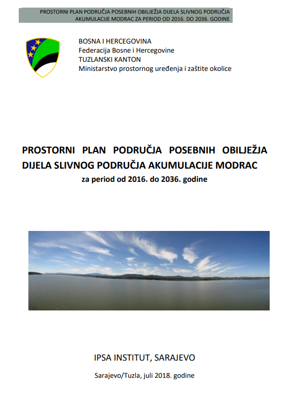
Graphic overview for Spatial plan for the area of special characteristics of part of the Modrac reservoir catchment area for the period 2016-2036.
Spatial plan for the area of special characteristics of part of the Modrac reservoir catchment area for the period 2016-2036. The Spatial Plan for the Area of Special Characteristics of the Part of the Modrac Reservoir Basin for the Period … Bosnia and Herzegovina Jan. 1, 2023 Ministry of Physical Planning and Environmental Protection of Tuzla Canton otherRestrictions
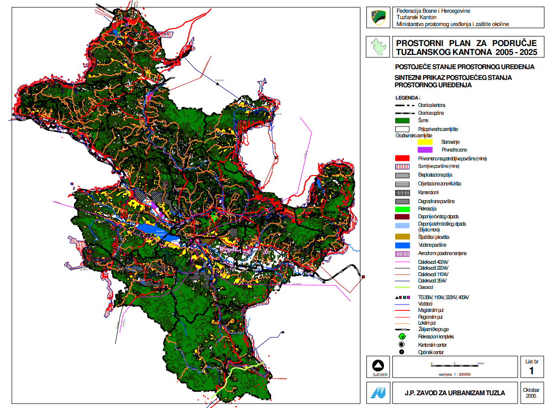
Graphic overview for Spatial plan for the area of Tuzla Canton 2005-2025.
Spatial plan for the area of Tuzla Canton 2005-2025. The Spatial Plan for the Tuzla Canton 2005-2025 is a binding planning document that guides the development of cities/municipalities, i.e. … Bosnia and Herzegovina None Ministry of Physical Planning and Environmental Protection of the Canton of Tuzla otherRestrictions
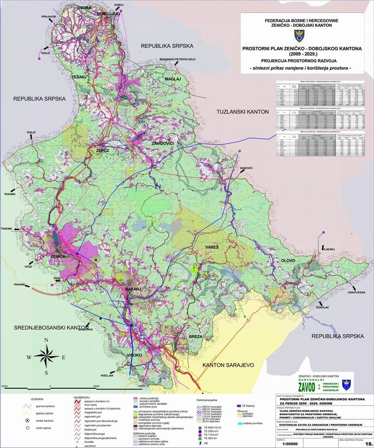
Graphic overview for Spatial Plan of Zenica-Doboj Canton 2009-2029.
Spatial Plan of Zenica-Doboj Canton 2009-2029. The Spatial Plan of the Zenica-Doboj Canton is the first mandatory planning document for the territory of the Canton, which … Bosnia and Herzegovina Feb. 20, 2009 Institute for Urban Planning and Spatial Development of Zenica-Doboj Canton otherRestrictions
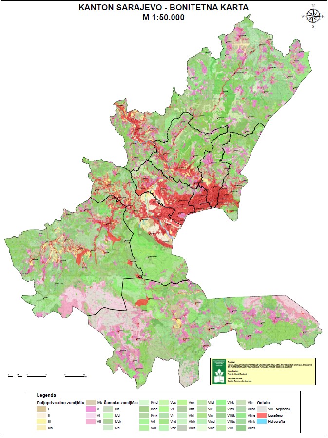
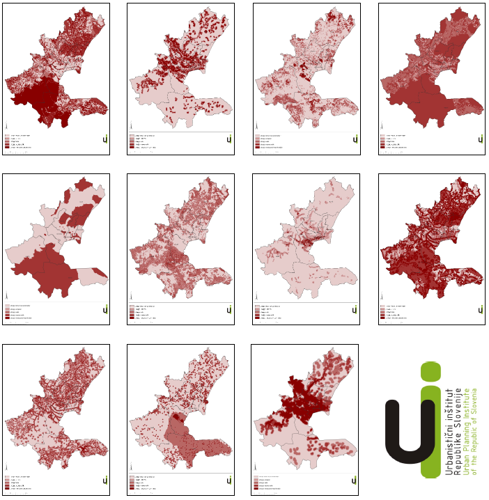
Graphic overview for Study "Inventory of the state and updating of data on agricultural areas of the Sarajevo Canton"
Study "Inventory of the state and updating of data on agricultural areas of the Sarajevo Canton" The subject of the Study is to determine the current state of land cover in the Sarajevo Canton by land … Bosnia and Herzegovina Feb. 1, 2024 Ministry of Municipal Economy, Infrastructure, Spatial Planning, Construction and Environmental Protection of Sarajevo Canton otherRestrictions
Graphic overview for Amendment to the land use value study for the Sarajevo Canton area
Amendment to the land use value study for the Sarajevo Canton area The study of the land use value of the Sarajevo Canton is an improvement and acquisition of newer and better … Bosnia and Herzegovina March 1, 2012 Ministry of Physical Planning and Environmental Protection of Sarajevo Canton other Restrictions
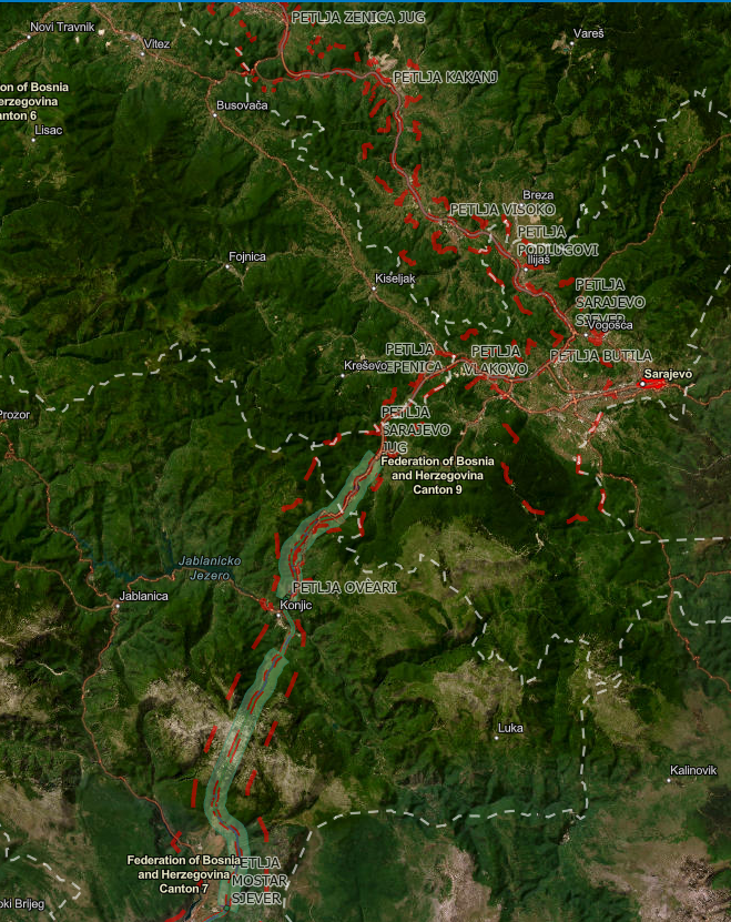
Graphic overview for Spatial plan "Highway Corridor Vc"
Spatial plan "Highway Corridor Vc" Spatial plan of the area of special characteristics of importance for the Federation of BiH "Motorway on Corridor Vc" for … Bosnia and Herzegovina None Federal Ministry of Physical Planning other Restrictions
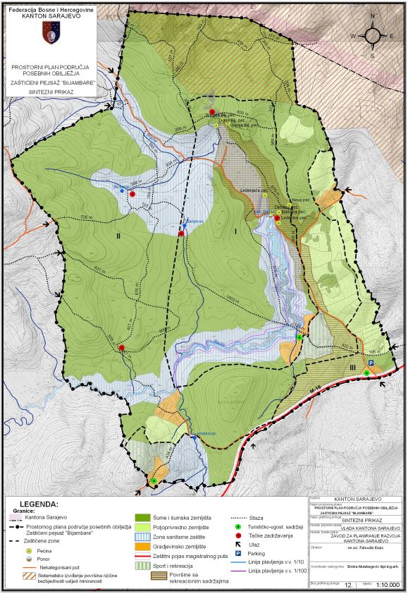
Graphic overview for Spatial plan of the special feature area "Bijambara"
Spatial plan of the special feature area "Bijambara" The Bijambara area is located in the northern part of the Sarajevo Canton and the Ilijaš Municipality, directly next to … Bosnia and Herzegovina July 29, 2009 Sarajevo Canton Development Planning Institute other Restrictions
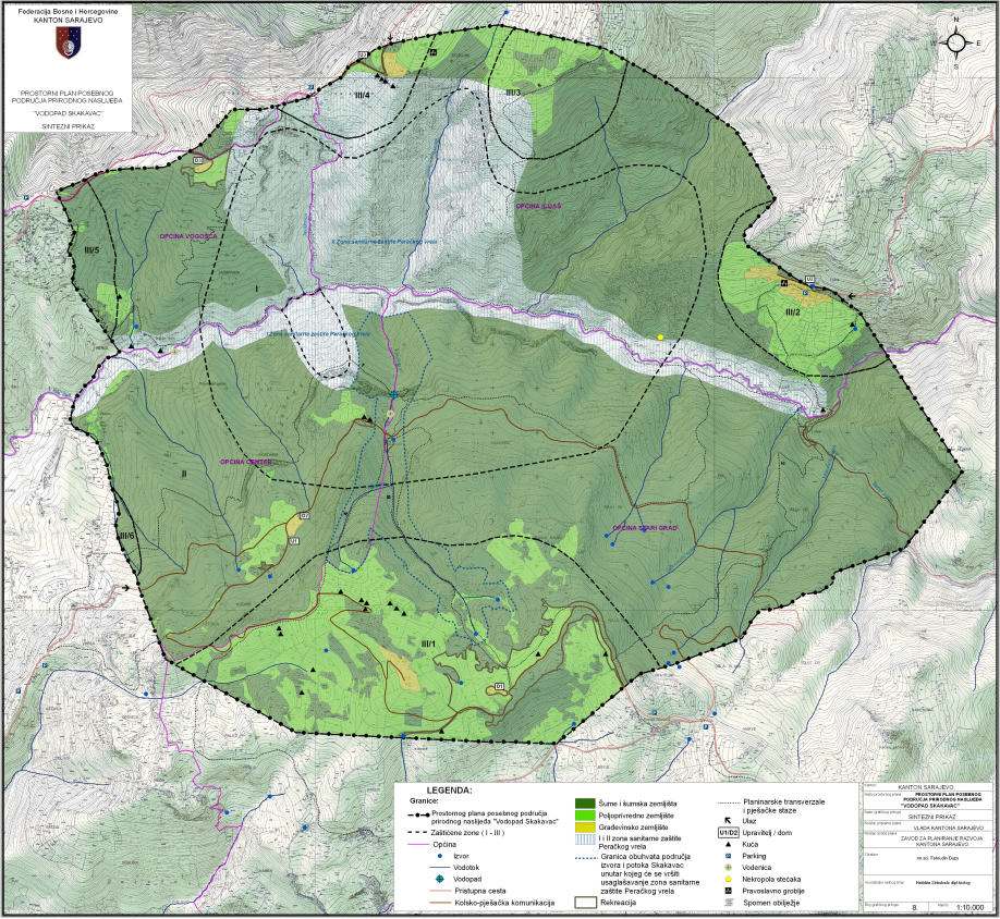
Graphic overview for Spatial plan of the special feature area "Skakavac Waterfall"
Spatial plan of the special feature area "Skakavac Waterfall" The area of natural heritage "Skakavac Waterfall" is located in the northern part of Sarajevo Canton. The total territory includes … Bosnia and Herzegovina None Sarajevo Canton Development Planning Institute other Restrictions
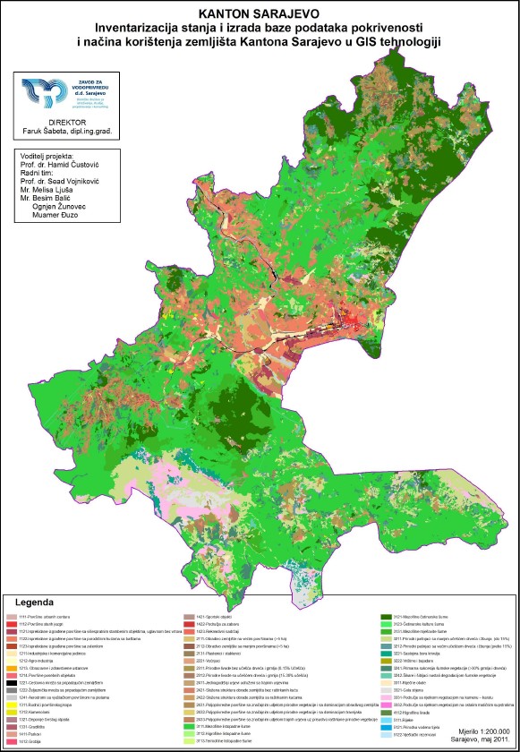
Graphic overview for Study of inventory of the state and creation of a database of land coverage and land use in the Sarajevo Canton (CLC Corine Land Cover)
Study of inventory of the state and creation of a database of land coverage and land use in the Sarajevo Canton (CLC Corine Land Cover) The subject of the Study is to determine the current state of land cover in the Sarajevo Canton by land … Bosnia and Herzegovina May 1, 2011 Ministry of Physical Planning and Environmental Protection of Sarajevo Canton other Restrictions
Graphic overview for Vulnerability study of the area of Sarajevo Canton
Vulnerability study of the area of Sarajevo Canton The Sarajevo Canton Vulnerability Study is a procedure for evaluating spatial characteristics in spatial development planning. Its purpose is to … Bosnia and Herzegovina Feb. 1, 2008 Ministry of Physical Planning and Environmental Protection of Sarajevo Canton other Restrictions
Showing 12 of 12 records (filtered)