Showing 10 of 228 records (filtered)
Applied filters: INSPIRE Theme: CP: Cadastral Parcels × Clear all filters
« first previous Page 5 of 23. next last »
Preview
Title
Abstract
Country
INSPIRE Theme
Publication Date
Responsible Party
Topic Categories
Keywords
Access Constraints
Actions
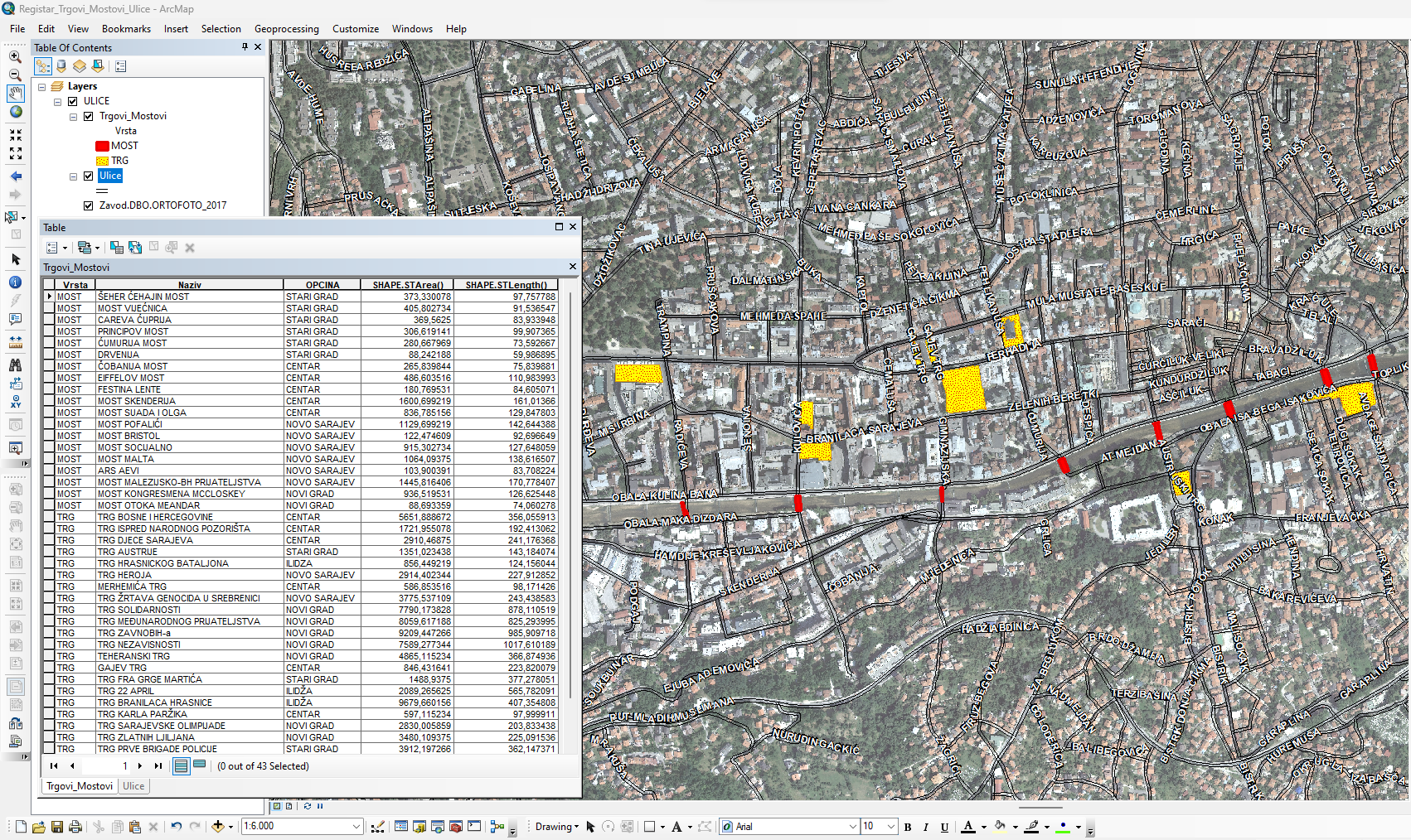
Graphic overview for Database of streets, squares and bridges
Database of streets, squares and bridges The Register of Streets, Squares and Bridges of the Sarajevo Canton contains the names of streets, squares and bridges classified … Bosnia and Herzegovina Jan. 1, 2015 Sarajevo Canton Development Planning Institute other Restrictions
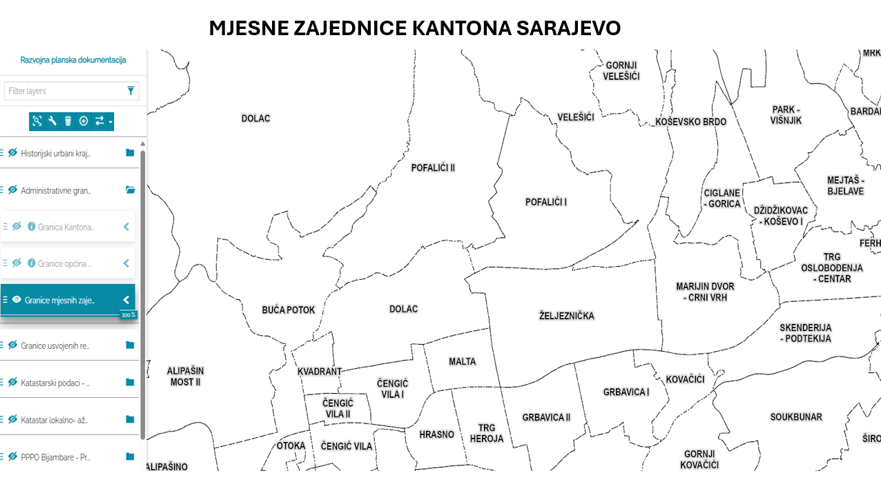
Graphic overview for Database of the boundaries of local communities of the Sarajevo Canton
Database of the boundaries of local communities of the Sarajevo Canton Within the local self-government system in the Sarajevo Canton, the local community is a mandatory and closest form of organizing … Bosnia and Herzegovina Jan. 1, 2003 Sarajevo Canton Development Planning Institute other Restrictions
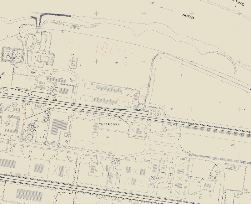
Graphic overview for Geodetic plans
Geodetic plans A geodetic plan is a detailed representation of a smaller part of the Earth's surface and all objects located on … Bosnia and Herzegovina Jan. 1, 2013 Federal Administration for Geodetic and Property Legal Affairs other Restrictions
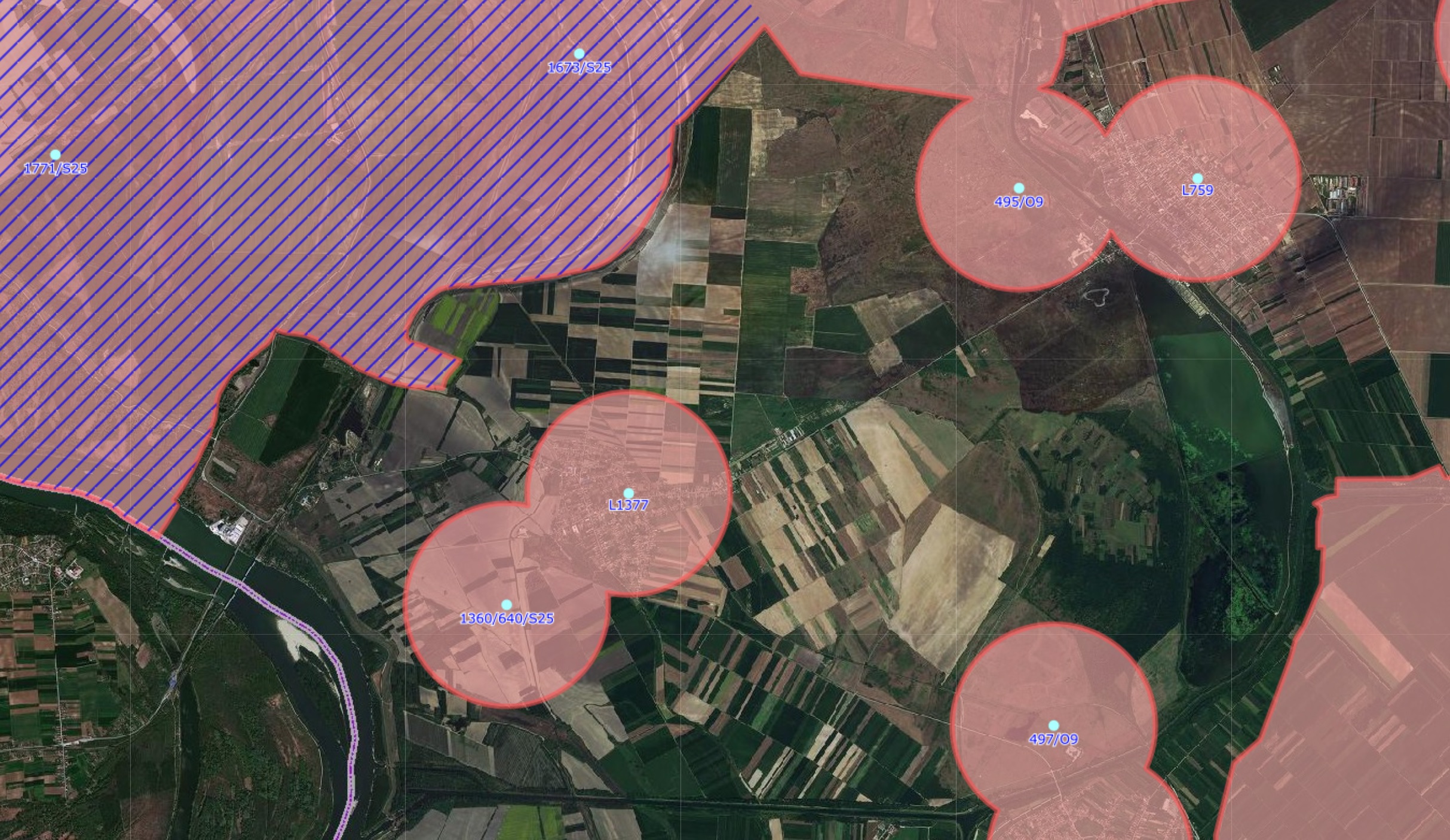
Graphic overview for GNSS controlled areas
GNSS controlled areas 156 / 5.000 Резултати превода Резултат превода Areas where control of the transformation of coordinates from the GK system to … Serbia None Republic Geodetic Authority copyright
Graphic overview for Management plan for the recycling yard at RCUO "Smiljevići"
Management plan for the recycling yard at RCUO "Smiljevići" A recycling yard has been opened within the Regional Waste Management Center Smiljevići, intended for the sorting and temporary storage … Bosnia and Herzegovina April 1, 2018 KJKP "RAD" doo Sarajevo copyright
Graphic overview for Orthophoto 2008
Orthophoto 2008 Digital orthophoto images of the entire territory of the Federation of Bosnia and Herzegovina. The images were created as part … Bosnia and Herzegovina Jan. 1, 2009 Federal Administration for Geodetic and Property Legal Affairs other Restrictions
Graphic overview for Orthophoto 2012
Orthophoto 2012 Digital orthophoto images of the Federation of Bosnia and Herzegovina at scales of 1:2500 and 1:5000, created based on aerial … Bosnia and Herzegovina Jan. 1, 2013 Federal Administration for Geodetic and Property Legal Affairs other Restrictions
Graphic overview for Orthophoto 2018
Orthophoto 2018 Digital orthophoto images of the Federation of Bosnia and Herzegovina at scales of 1:2500 and 1:5000, created based on satellite … Bosnia and Herzegovina Jan. 1, 2019 Federal Administration for Geodetic and Property Legal Affairs other Restrictions
🖼️
Passive State GNSS Network 2024 The State Passive GNSS Network consists of points located in such a way that together with the points of the … Albania May 7, 2024 State Authority for Geospatial Information copyright
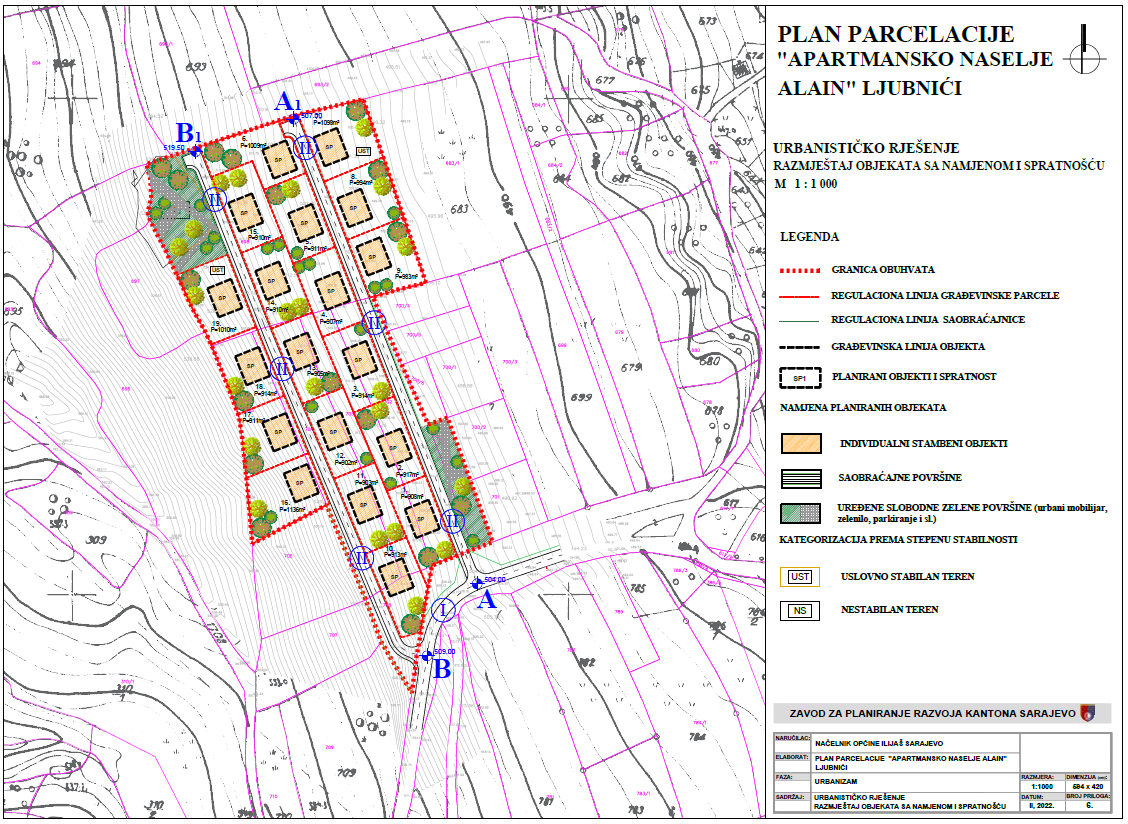
Graphic overview for Plot plan "Apartment complex Alain - Ljubnići" Ilijaš
Plot plan "Apartment complex Alain - Ljubnići" Ilijaš The spatial coverage of 2.47 ha is located in the southwestern part of the settlement of Ljubnići, Municipality of Ilijaš. … Bosnia and Herzegovina Feb. 24, 2022 Sarajevo Canton Development Planning Institute other Restrictions
Showing 10 of 228 records (filtered)
« first previous Page 5 of 23. next last »