Showing 9 of 9 records (filtered)
Applied filters: Keywords: AC × INSPIRE Theme: EL: Elevation × Clear all filters
Preview
Title
Abstract
Country
INSPIRE Theme
Publication Date
Responsible Party
Topic Categories
Keywords
Access Constraints
Actions
Graphic overview for Digital Elevation Model of the Terrain of the Republic of Macedonia - vector (DTM), dataset metadata
Digital Elevation Model of the Terrain of the Republic of Macedonia - vector (DTM), dataset metadata A regular arrangement of elevation points in vector form at a distance of 20m covering the entire territory of the … North Macedonia Jan. 1, 2010 Agency for Real Estate Cadastre otherRestrictions
Graphic overview for Digital Elevation Model of the Terrain of the Republic of North Macedonia TK25-2017 - isohypses, metadata for the dataset
Digital Elevation Model of the Terrain of the Republic of North Macedonia TK25-2017 - isohypses, metadata for the dataset The collection of digital elevation models of the terrain of the Republic of North Macedonia has been updated with some … North Macedonia Jan. 1, 2023 Agency for Real Estate Cadastre otherRestrictions
Graphic overview for Global map of the Republic of Macedonia at a scale of 1:1000000 raster (Relief), dataset metadata
Global map of the Republic of Macedonia at a scale of 1:1000000 raster (Relief), dataset metadata Raster relief data is organized into accessible rows and columns with pixel dimensions of 30” by 30”. This type of … North Macedonia March 8, 2006 Agency for Real Estate Cadastre otherRestrictions
Graphic overview for Study on the protection of cultural and historical heritage for the Spatial Plan of the special feature of the protected landscape "Trebević"
Study on the protection of cultural and historical heritage for the Spatial Plan of the special feature of the protected landscape "Trebević" The study on the protection of cultural and historical heritage for the Spatial Plan of the Special Feature of the … Bosnia and Herzegovina Jan. 1, 2017 Public Institution "Cantonal Institute for the Protection of Cultural, Historical and Natural Heritage Sarajevo" restricted
Graphic overview for Topographical features of the Republic of North Macedonia TC 200-2017, metadata for the dataset
Topographical features of the Republic of North Macedonia TC 200-2017, metadata for the dataset The content of the dataset for "Topographic Features of the Republic of North Macedonia TC 200-2017" has been updated from … North Macedonia Dec. 31, 2024 Agency for Real Estate Cadastre otherRestrictions
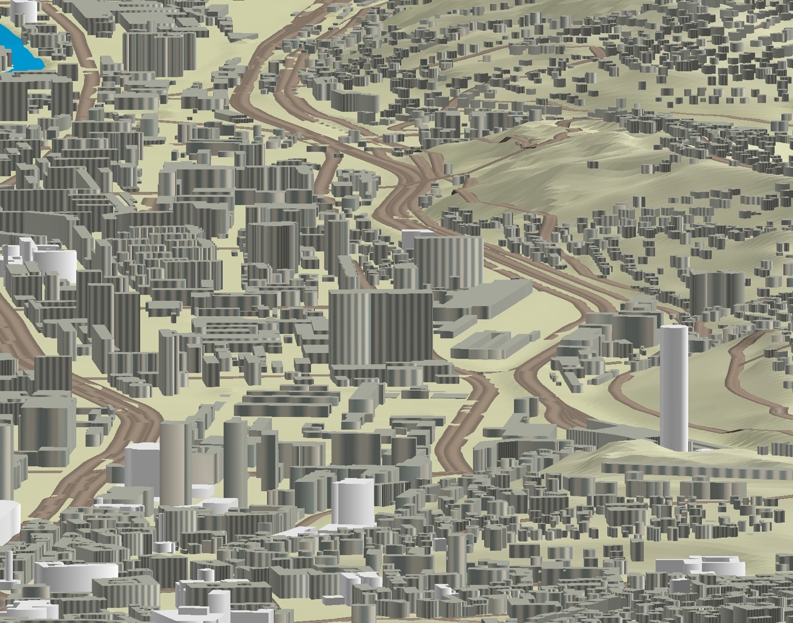
Graphic overview for 3D objects of Urban Areas of Sarajevo Canton
3D objects of Urban Areas of Sarajevo Canton The Sarajevo Canton Development Planning Institute, through the project "Updating the Basic Topographic Map 1:5,000 of Urban Areas of the … Bosnia and Herzegovina None Sarajevo Canton Development Planning Institute restricted
🖼️
Cadastral parcels, cadastral zoning - INSPIRE WFS service Service provides INSPIRE compliant downloadable cadastral data from the Cadastral parcels and Address register datasets. Serbia Nov. 1, 2020 Republic Geodetic Authority otherRestrictions
🖼️
Elevation Grid Coverage - INSPIRE ATOM service Service provides INSPIRE compliant downloadable elevation grid coverage data from the Digital terrain model of 30m grid dataset. Serbia Nov. 1, 2020 Republic Geodetic Authority otherRestrictions
🖼️
Elevation Grid Coverage - INSPIRE WMS service Service provides INSPIRE compliant viewable elevation grid coverage data from the Digital terrain model of 30m grid dataset. Serbia Nov. 1, 2020 Republic Geodetic Authority otherRestrictions
Showing 9 of 9 records (filtered)