Showing 10 of 29 records (filtered)
Applied filters: Keywords: National × INSPIRE Theme: EL: Elevation × Clear all filters
Page 1 of 3. next last »
Preview
Title
Abstract
Country
INSPIRE Theme
Publication Date
Responsible Party
Topic Categories
Keywords
Access Constraints
Actions
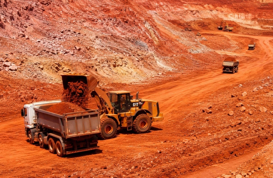
Graphic overview for Cadastre of approved exploitation fields
Cadastre of approved exploitation fields FMERI maintains a cadastre of approved exploitation fields of mineral raw materials in the territory of the Federation of BiH, … Bosnia and Herzegovina None Federal Ministry of Energy, Mining and Industry otherRestrictions
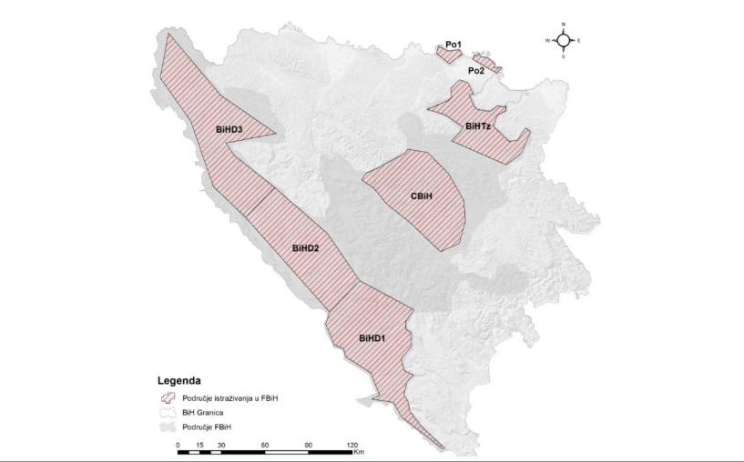
Graphic overview for Cadastre of approved research areas
Cadastre of approved research areas FMERI maintains a cadastre of approved exploration areas for mineral raw materials in the Federation of BiH, based on approvals … Bosnia and Herzegovina None Federal Ministry of Energy, Mining and Industry otherRestrictions
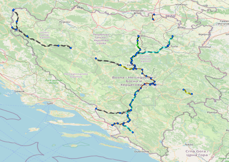
Graphic overview for Facilities under the jurisdiction of the Highway Federation of Bosnia and Herzegovina
Facilities under the jurisdiction of the Highway Federation of Bosnia and Herzegovina Tollbooths, rest areas, Grnični prešel, COKP, permanent facilities (bridge, tunnel, viaduct, ramp, overpass, underpass and culverts) and auxiliary facilities Bosnia and Herzegovina None JP Highways of the Federation of BiH doo Mostar otherRestrictions
Graphic overview for 1st High Accuracy Levelling Network
1st High Accuracy Levelling Network The 1st high-accuracy leveling network consists of a set of permanently stabilized and easily accessible fundamental benchmarks. Working benchmarks are … Serbia None Republic Geodetic Authority otherRestrictions
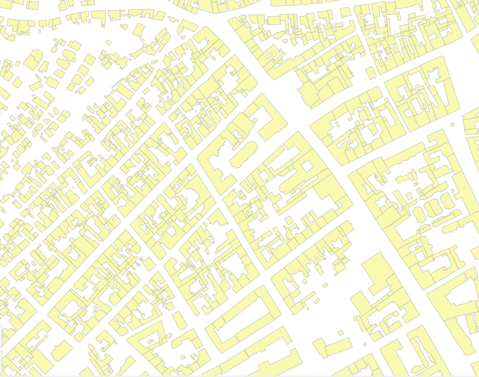
Graphic overview for Buildings
Buildings Buildings and other construction objects from the digital cadastral plan as separate parts of plots. Serbia None Republic Geodetic Authority otherRestrictions
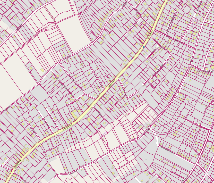
Graphic overview for Cadastral parcels
Cadastral parcels Cadastral parcels are basic cadastral territorial units and represent a land part in the cadastral municipality determined by the border … Serbia May 8, 2020 Republic Geodetic Authority otherRestrictions
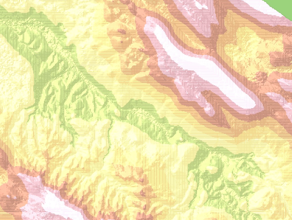
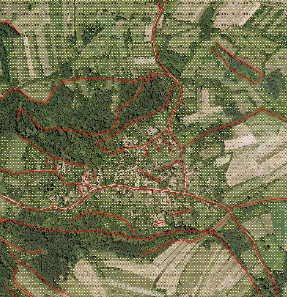
Graphic overview for Digital terrain model 25m
Digital terrain model 25m Digital terrain model of BiH area. The terrain model was mostly created by digitizing existing topographic maps 1:25000, as well … Bosnia and Herzegovina Jan. 1, 2003 Federal Administration for Geodetic and Property Legal Affairs other Restrictions
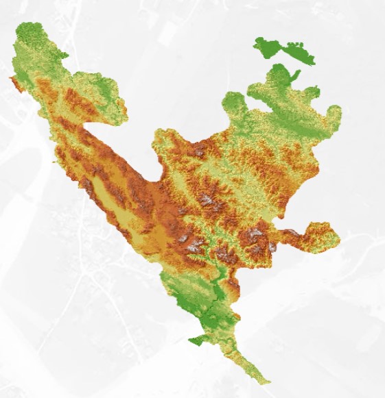
Graphic overview for Digital terrain model 50m
Digital terrain model 50m Digital terrain model of the FBiH area. The terrain model was created as part of the aerial photogrammetric survey of … Bosnia and Herzegovina Jan. 1, 2009 Federal Administration for Geodetic and Property Legal Affairs other Restrictions
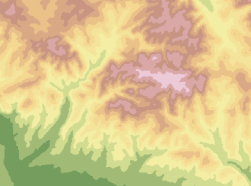
Graphic overview for Digital terrain model 5m
Digital terrain model 5m Digital terrain model of the territory of Bosnia and Herzegovina. The terrain model was created within the framework of aerial … Bosnia and Herzegovina Jan. 1, 2013 Federal Administration for Geodetic and Property Legal Affairs other Restrictions
Graphic overview for Digital terrain model of 10 m grid
Digital terrain model of 10 m grid Digital terrain model (DTM) is represented by height points determined at the positions of a predetermined grid and structure lines … Serbia Jan. 1, 1970 Republic Geodetic Authority otherRestrictions
Showing 10 of 29 records (filtered)
Page 1 of 3. next last »