Showing 15 of 15 records (filtered)
Applied filters: Topic Category: location × INSPIRE Theme: EL: Elevation × Clear all filters
Preview
Title
Abstract
Country
INSPIRE Theme
Publication Date
Responsible Party
Topic Categories
Keywords
Access Constraints
Actions
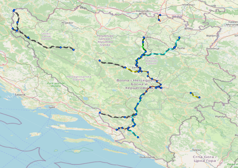
Graphic overview for Facilities under the jurisdiction of the Highway Federation of Bosnia and Herzegovina
Facilities under the jurisdiction of the Highway Federation of Bosnia and Herzegovina Tollbooths, rest areas, Grnični prešel, COKP, permanent facilities (bridge, tunnel, viaduct, ramp, overpass, underpass and culverts) and auxiliary facilities Bosnia and Herzegovina None JP Highways of the Federation of BiH doo Mostar otherRestrictions
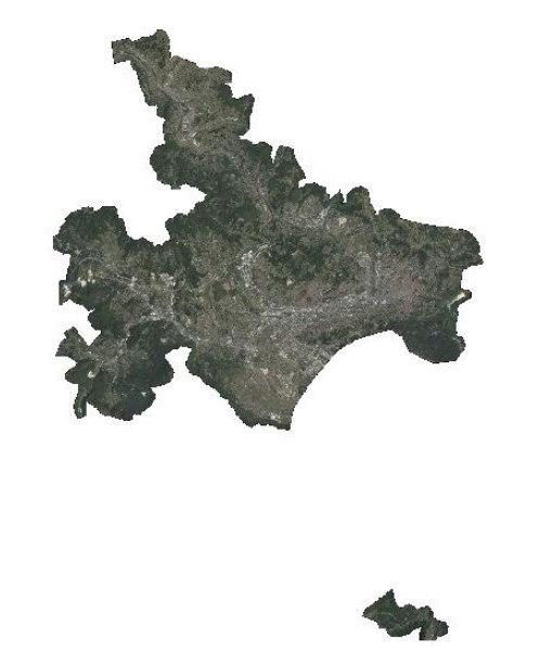
Graphic overview for Orthophoto 2017
Orthophoto 2017 Digital orthophoto images of the Sarajevo Canton area at a scale of 1:2500, created based on aerial photogrammetric imaging. The … Bosnia and Herzegovina Jan. 1, 2018 Federal Administration for Geodetic and Property Legal Affairs otherRestrictions
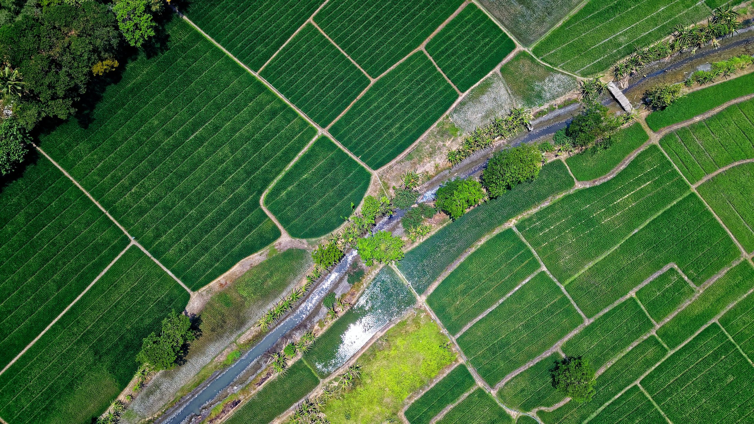
Graphic overview for Records on agricultural land that has changed its use
Records on agricultural land that has changed its use The change of use of agricultural land for non-agricultural purposes is carried out in accordance with spatial planning plans and … Bosnia and Herzegovina None Ministry of Agriculture, Forestry and Water Management of Zenica-Doboj Canton otherRestrictions
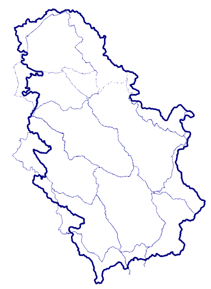
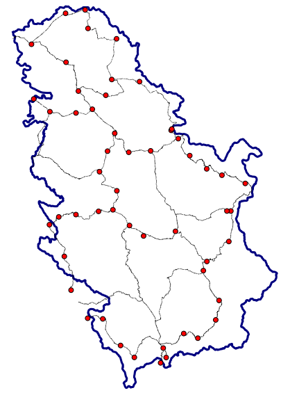
Graphic overview for 1st High Accuracy Levelling Network
1st High Accuracy Levelling Network The 1st high-accuracy leveling network consists of a set of permanently stabilized and easily accessible fundamental benchmarks. Working benchmarks are … Serbia None Republic Geodetic Authority otherRestrictions
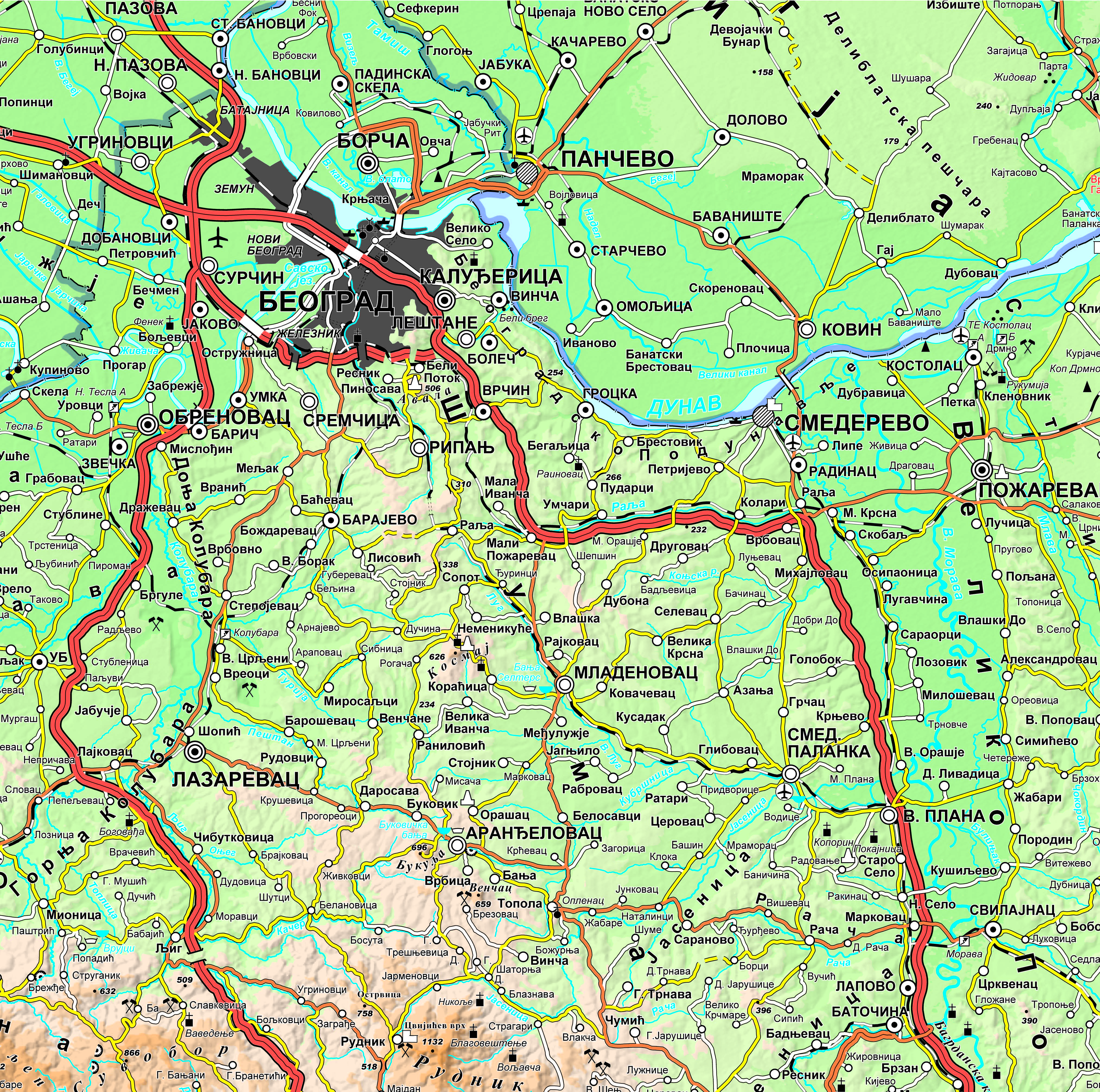
Graphic overview for Geographical-tourist map of Serbia at a scale of 1 : 500 000
Geographical-tourist map of Serbia at a scale of 1 : 500 000 Geographic and tourist map of Serbia at a scale of 1 : 500 000 is a digital geographic map based … Serbia Sept. 24, 2020 Republic Geodetic Authority otherRestrictions
Graphic overview for Geographical-tourist map of Serbia at a scale of 1: 300 000
Geographical-tourist map of Serbia at a scale of 1: 300 000 Geographic and tourist map of Serbia at a scale of 1: 300 000 is a digital geographic map based on … Serbia Sept. 24, 2020 Republic Geodetic Authority otherRestrictions
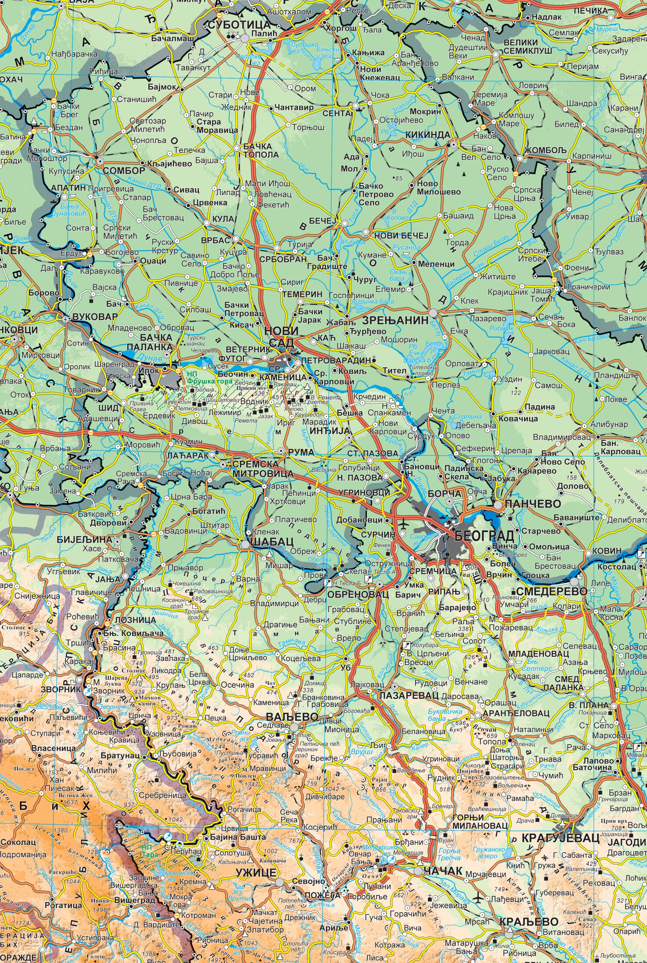
Graphic overview for Geographical map of Serbia at a scale of 1 : 1 000 000
Geographical map of Serbia at a scale of 1 : 1 000 000 Geographical map of Serbia at a scale of 1 : 1 000 000 is a digital geographic map based on … Serbia Sept. 24, 2020 Republic Geodetic Authority otherRestrictions
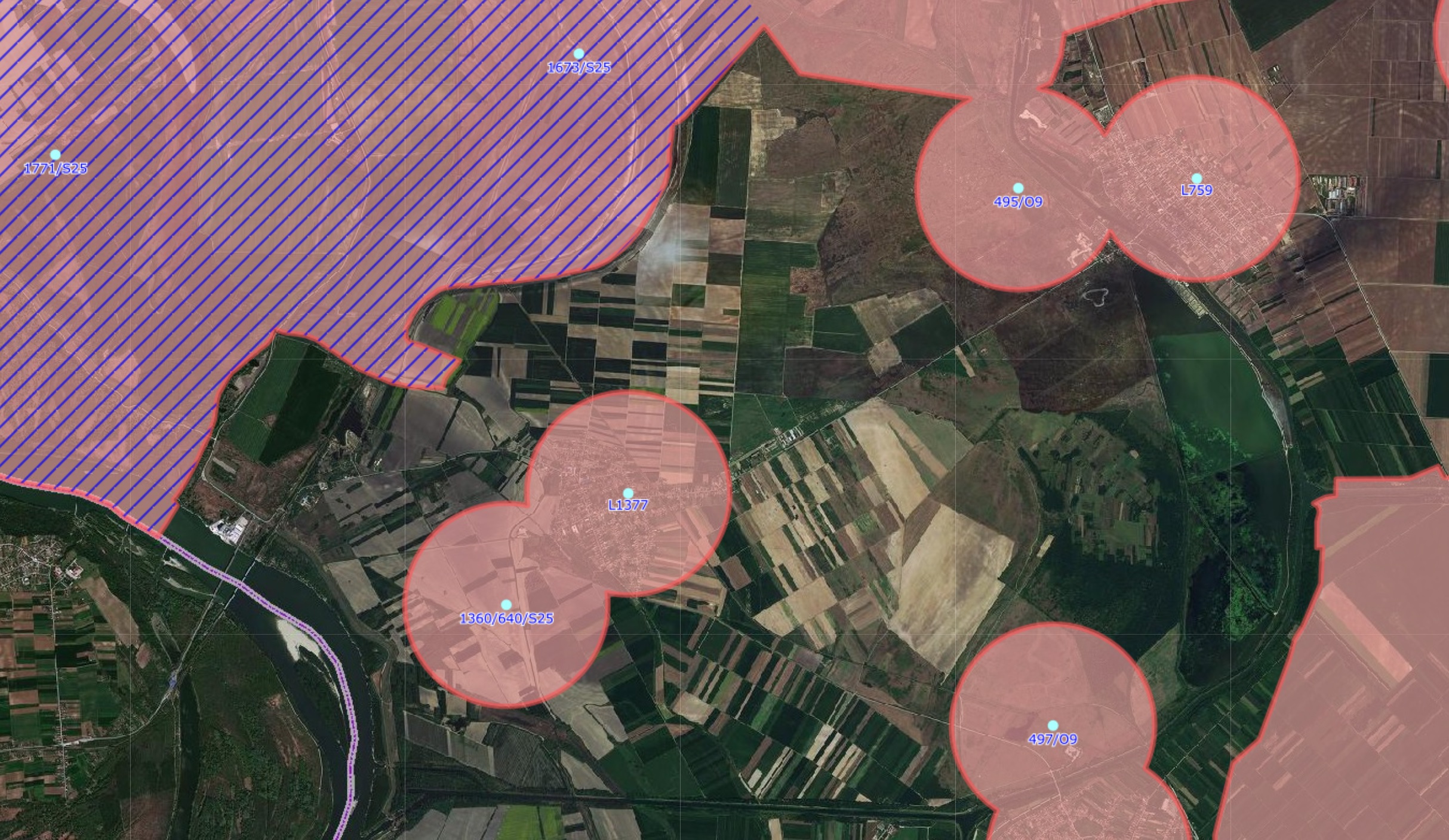
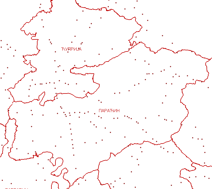
Graphic overview for GNSS controlled areas
GNSS controlled areas 156 / 5.000 Резултати превода Резултат превода Areas where control of the transformation of coordinates from the GK system to … Serbia None Republic Geodetic Authority copyright
Graphic overview for Management plan for the recycling yard at RCUO "Smiljevići"
Management plan for the recycling yard at RCUO "Smiljevići" A recycling yard has been opened within the Regional Waste Management Center Smiljevići, intended for the sorting and temporary storage … Bosnia and Herzegovina April 1, 2018 KJKP "RAD" doo Sarajevo copyright
Graphic overview for Precise levelling network
Precise levelling network The precise leveling network consists of a set of permanently stabilized and easily accessible benchmarks. Working benchmarks are classified as … Serbia None Republic Geodetic Authority otherRestrictions
Graphic overview for Register of Investment Locations
Register of Investment Locations The web application of the Register of Investment Locations unites the standardized data of local self-government for greenfield, greyfield and … Serbia May 23, 2022 Republic Geodetic Authority copyright
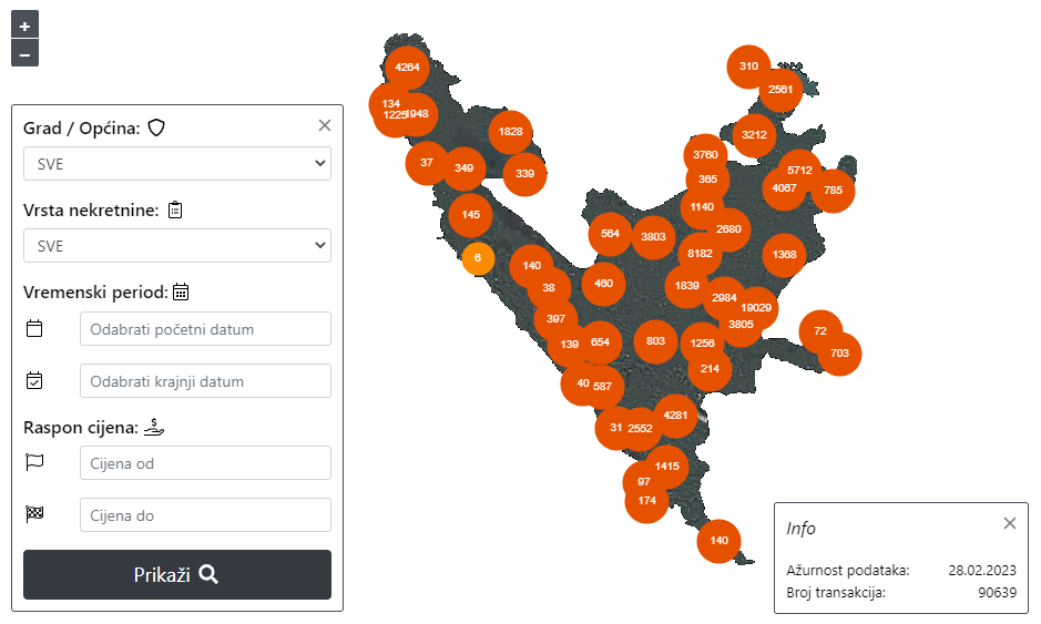
Graphic overview for Register of real estate prices of the Federation of Bosnia and Herzegovina
Register of real estate prices of the Federation of Bosnia and Herzegovina The register of real estate prices of the Federation of BiH, both to the Federal Administration for Geodetic and Property … Bosnia and Herzegovina None Federal Administration for Geodetic and Property Legal Affairs other Restrictions
Graphic overview for Second High Accuracy Levelling network
Second High Accuracy Levelling network The second high-accuracy leveling network consists of permanently stabilized and accessible fundamental and working benchmarks. Fundamental benchmarks are approximately evenly … Serbia None Republic Geodetic Authority otherRestrictions
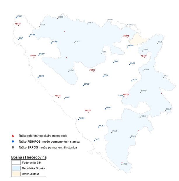
Graphic overview for Spatial reference system
Spatial reference system The spatial reference system of the Federation of Bosnia and Herzegovina is a geocentric terrestrial reference system which, by definition … Bosnia and Herzegovina Feb. 1, 2019 Federal Administration for Geodetic and Property Legal Affairs other Restrictions
Graphic overview for Technical guidelines for the establishment of recycling yards in Sarajevo Canton
Technical guidelines for the establishment of recycling yards in Sarajevo Canton Recycling yards are a link between citizens, authorized collectors and authorized waste processors and/or the regional waste management center. Separately … Bosnia and Herzegovina March 1, 2024 KJKP "RAD" doo Sarajevo copyright
Showing 15 of 15 records (filtered)