Showing 10 of 45 records (filtered)
Applied filters: Keywords: Land × INSPIRE Theme: GE: Geology × Clear all filters
Page 1 of 4. next last »
Preview
Title
Abstract
Country
INSPIRE Theme
Publication Date
Responsible Party
Topic Categories
Keywords
Access Constraints
Actions
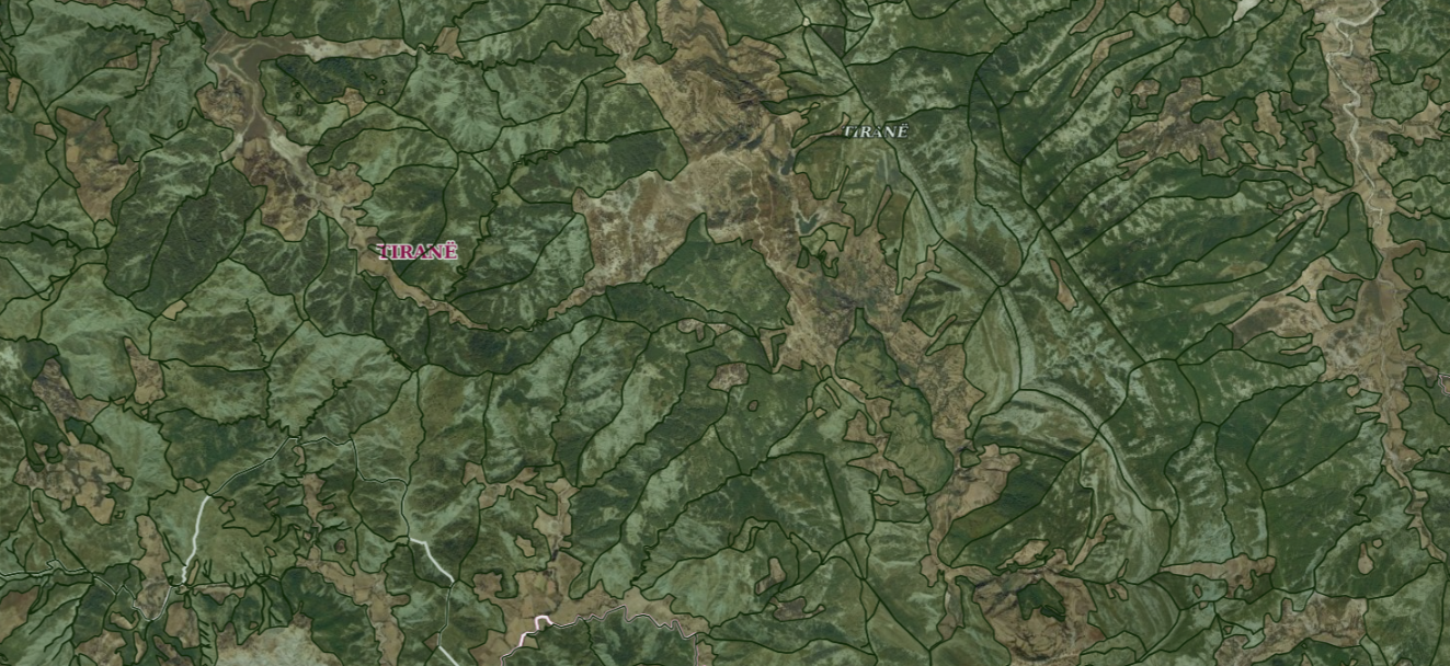
Graphic overview for ALFIS, Forest plot
ALFIS, Forest plot Forest parcel or “Plot” is the name of the forest area, with clear natural boundaries, which is created by dividing … Albania May 14, 2026 National Forestry Agency (NFA) copyright
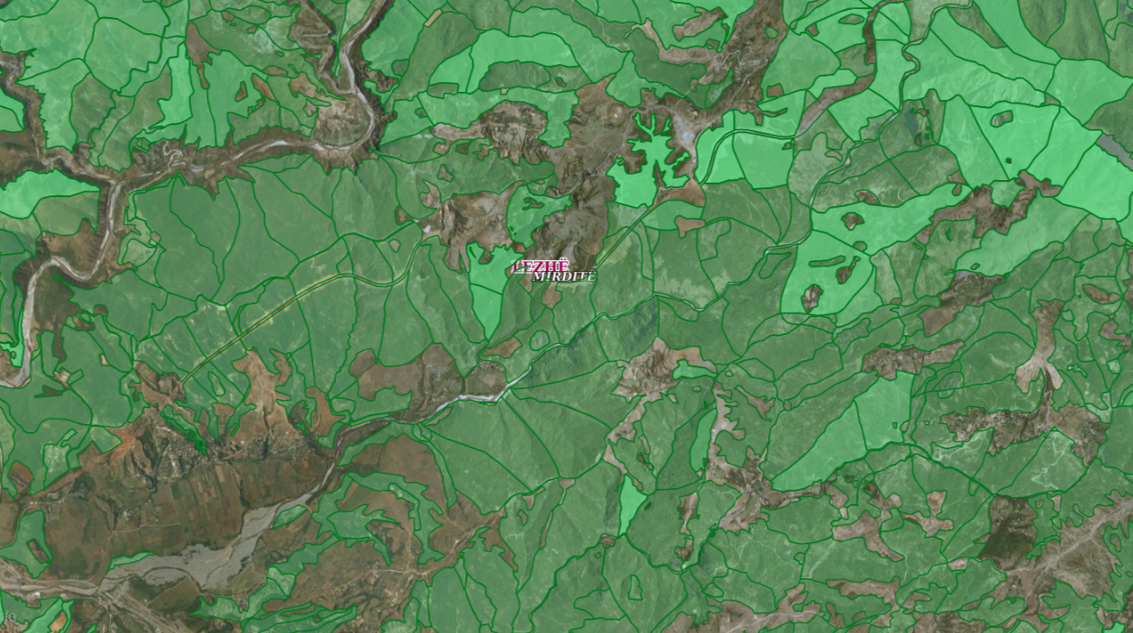
Graphic overview for ALFIS, Forest sub-plot
ALFIS, Forest sub-plot Sub-plot or “Sub-plot” is a surface unit with a minimum size of 0.5 ha, which serves for the assessment of … Albania May 14, 2026 National Forestry Agency (NFA) copyright
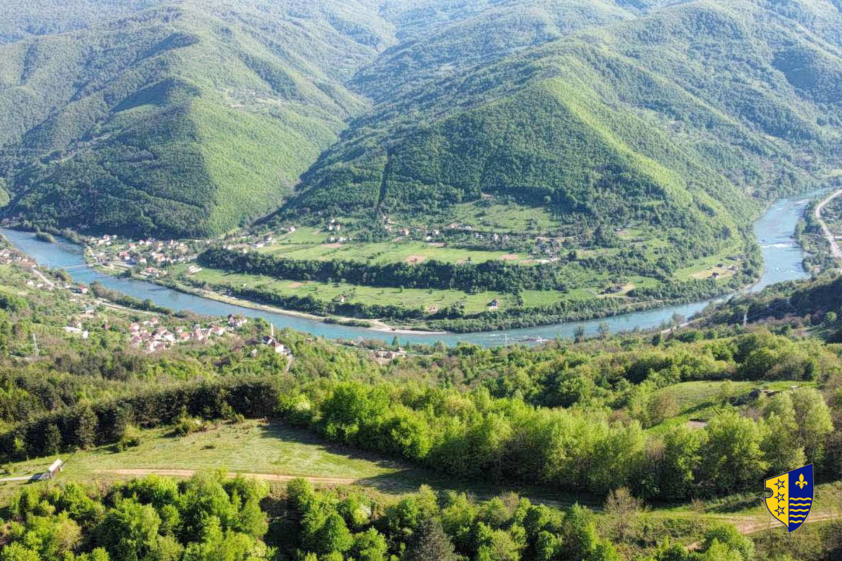
Graphic overview for Forest management basis for private forests of the Bosnian-Podrinje Canton Goražde
Forest management basis for private forests of the Bosnian-Podrinje Canton Goražde Data on private forests and forest land in the area of the Bosnian Podrinje Canton Goražde. Bosnia and Herzegovina None Cantonal Forestry Administration of the Bosnian-Podrinje Canton Goražde otherRestrictions
Graphic overview for Forestry basis for state forests of the Bosnian-Podrinje Canton Goražde
Forestry basis for state forests of the Bosnian-Podrinje Canton Goražde Data on state-owned forests and forest land in the territory of the Bosnian-Podrinje Canton Goražde. The validity date of the … Bosnia and Herzegovina None Cantonal Forestry Administration of the Bosnian-Podrinje Canton Goražde otherRestrictions
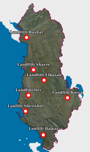
Graphic overview for Landfill
Landfill Waste Landfill – Each location of the respective landfill and the technical specifications specified in the relevant permit. The data … Albania Aug. 18, 2026 National Environmental Agency (NEA) copyright
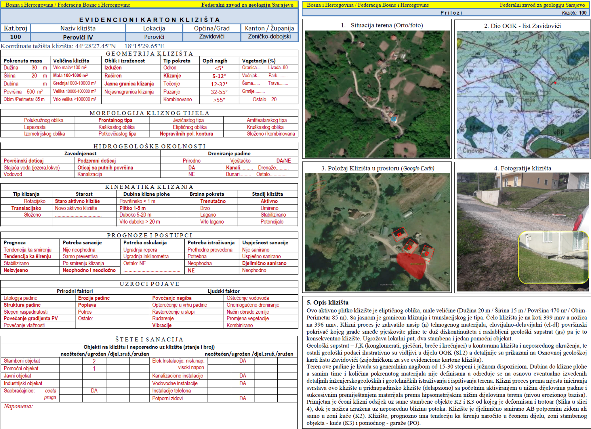
Graphic overview for Landslide Cadastre of the Federation of Bosnia and Herzegovina
Landslide Cadastre of the Federation of Bosnia and Herzegovina The Landslide Cadastre of the Federation of Bosnia and Herzegovina represents a central database of registered landslides in the territory … Bosnia and Herzegovina None Federal Institute of Geology otherRestrictions
Graphic overview for Nomenclature of cadastral plan sheets, metadata for dataset
Nomenclature of cadastral plan sheets, metadata for dataset Nomenclature of sheets of cadastral plans for scales 1:500, 1:1000, 1:2500, 1:5000, 1:10000. Nomenclature of sheets of cadastral plans is … North Macedonia Dec. 22, 2018 Agency for Real Estate Cadastre otherRestrictions
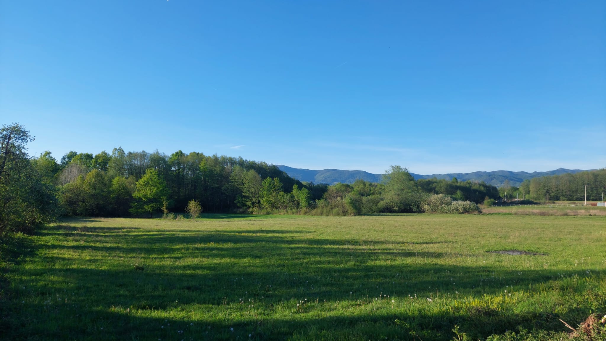
Graphic overview for Pasture cadastre
Pasture cadastre The management of state pastures in the Federation is entrusted to the cantons. The canton on whose territory the pastures … Bosnia and Herzegovina None Ministry of Agriculture, Forestry and Water Management of Zenica-Doboj Canton otherRestrictions
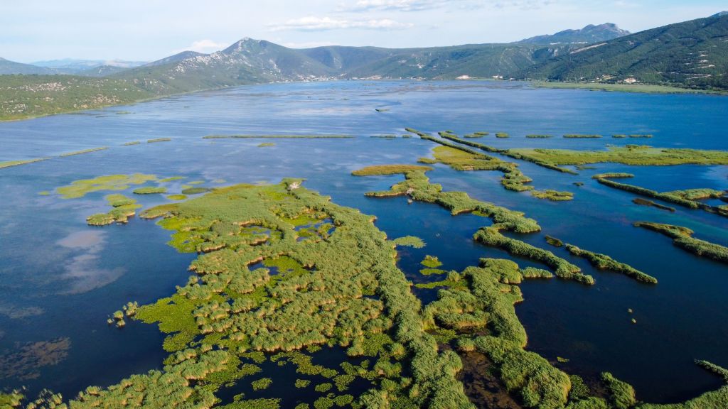
Graphic overview for PPPPO Nature Park Hutovo Blato
PPPPO Nature Park Hutovo Blato The area of the Hutovo Blato Nature Park is a protected area, in 1995 Hutovo Blato was declared a Nature … Bosnia and Herzegovina Oct. 7, 2016 Ministry of Construction and Spatial Planning CNK otherRestrictions
Graphic overview for Protected natural areas of Sarajevo Canton
Protected natural areas of Sarajevo Canton In the Cantonal Public Institution for Protected Natural Areas, the implementation of GIS software began in 2020 when the Gauss … Bosnia and Herzegovina Jan. 1, 2020 Cantonal Public Institution for Protected Natural Areas Sarajevo otherRestrictions
Showing 10 of 45 records (filtered)
Page 1 of 4. next last »