Showing 10 of 23 records (filtered)
Applied filters: Keywords: NO × INSPIRE Theme: GE: Geology × Clear all filters
Page 1 of 2. next last »
Preview
Title
Abstract
Country
INSPIRE Theme
Publication Date
Responsible Party
Topic Categories
Keywords
Access Constraints
Actions
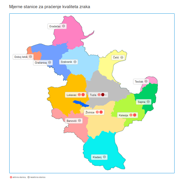
Graphic overview for Air quality monitoring from Tuzla Canton measuring stations
Air quality monitoring from Tuzla Canton measuring stations Air quality monitoring from measuring stations of the Tuzla Canton is an air quality monitoring system that has been operating … Bosnia and Herzegovina None Ministry of Physical Planning and Environmental Protection of the Canton of Tuzla otherRestrictions
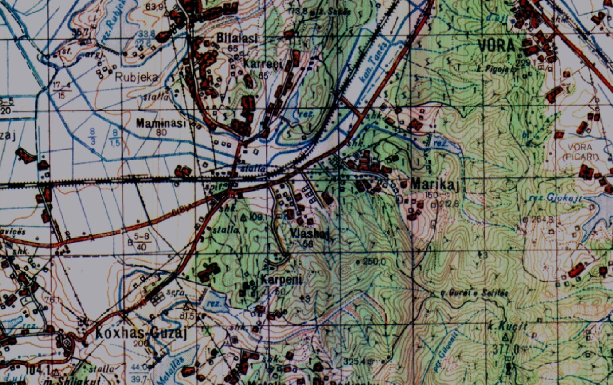
Graphic overview for Base Map, Topographic Map 1:50 000
Base Map, Topographic Map 1:50 000 Topographic maps of scale 1:50000 were published by the Institute of Geography and Military Infrastructure (formerly ITU), in the period … Albania Jan. 1, 2015 Institute of Geography and Military Infrastructure (formerly ITU) otherRestrictions
Graphic overview for Cultural heritage of particular importance, subcategory of great importance - Memorial - the house of Lazar Lichenoski in Skopje
Cultural heritage of particular importance, subcategory of great importance - Memorial - the house of Lazar Lichenoski in Skopje Memorial - the house of Lazar Ličenoski in Skopje for cultural heritage of particular importance, subcategory of great importance North Macedonia Oct. 10, 2017 Ministry of Culture and Tourism otherRestrictions
Graphic overview for Departments for administrative affairs in the Republic of North Macedonia, metadata for the dataset
Departments for administrative affairs in the Republic of North Macedonia, metadata for the dataset All administrative departments on the territory of the country are shown. North Macedonia Feb. 1, 2012 Ministry of Interior otherRestrictions
Graphic overview for Geographical Names of the Republic of North Macedonia TC (200-2004) - INSPIRE, dataset metadata
Geographical Names of the Republic of North Macedonia TC (200-2004) - INSPIRE, dataset metadata Geographical names from the topographic database TK 200 for the entire territory of the Republic of North Macedonia according to … North Macedonia March 12, 2024 Agency for Real Estate Cadastre otherRestrictions
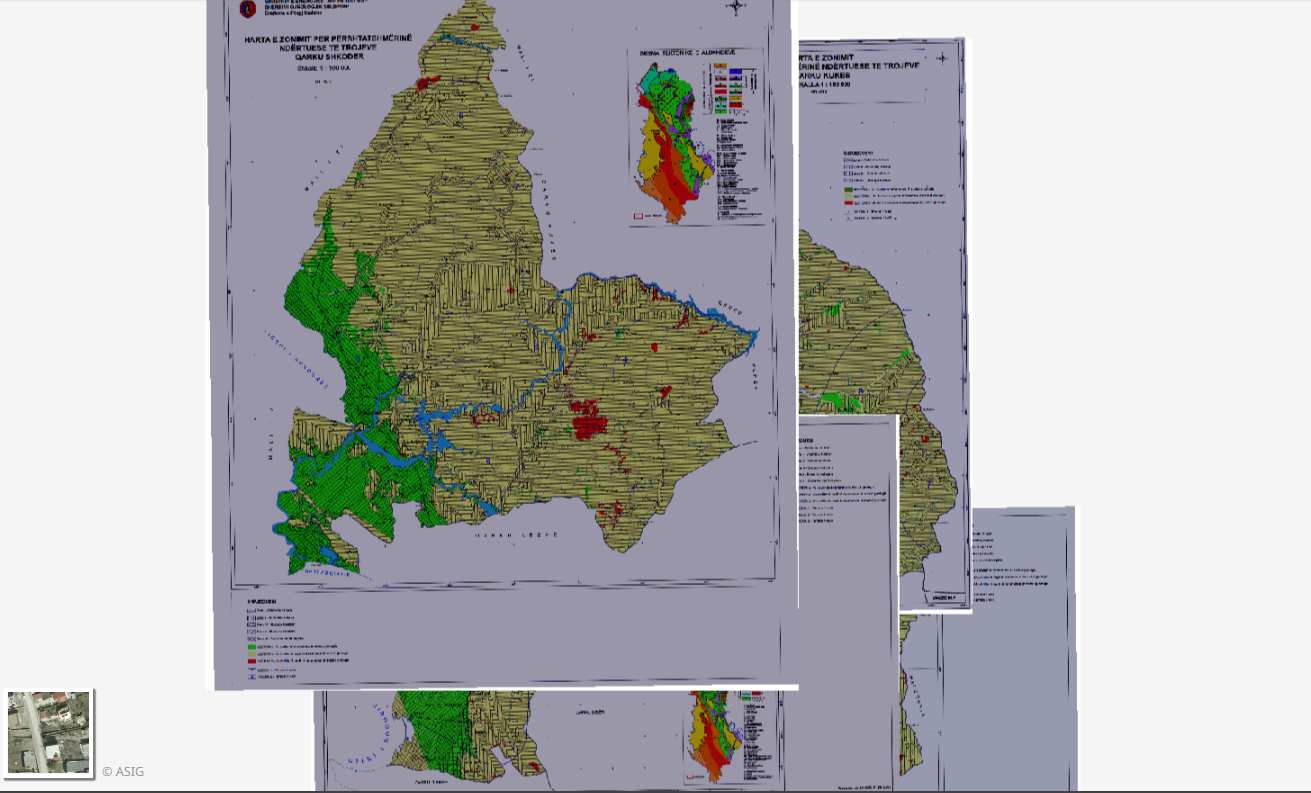
Graphic overview for Geological Zoning, Thematic Maps
Geological Zoning, Thematic Maps Zoning maps for the construction suitability of lands of 12 regions in the Republic of Albania constructed according to geological … Albania March 17, 2015 Albanian Geological Survey (AGS) copyright
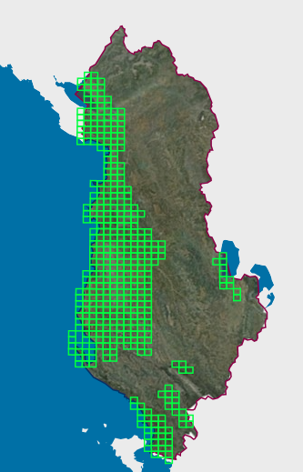
Graphic overview for Map Nomenclature 1:10000
Map Nomenclature 1:10000 These are the data created by the digitalization of the 1:10000 scale topographic map frame, which are scanned, georeferenced and … Albania Oct. 13, 2020 State Authority for Geospatial Information (ASIG) copyright
Graphic overview for Map of mineral resources of the Republic of Macedonia, ores and ore-bearing formations at a scale of 1:200,000
Map of mineral resources of the Republic of Macedonia, ores and ore-bearing formations at a scale of 1:200,000 geological - metallogenetic formations, Old Alpine formations, genetic types of deposits and occurrences and LIST OF DEPOSITS AND OCCURRENCES North Macedonia Jan. 1, 1977 Geological Survey of the Republic of North Macedonia otherRestrictions
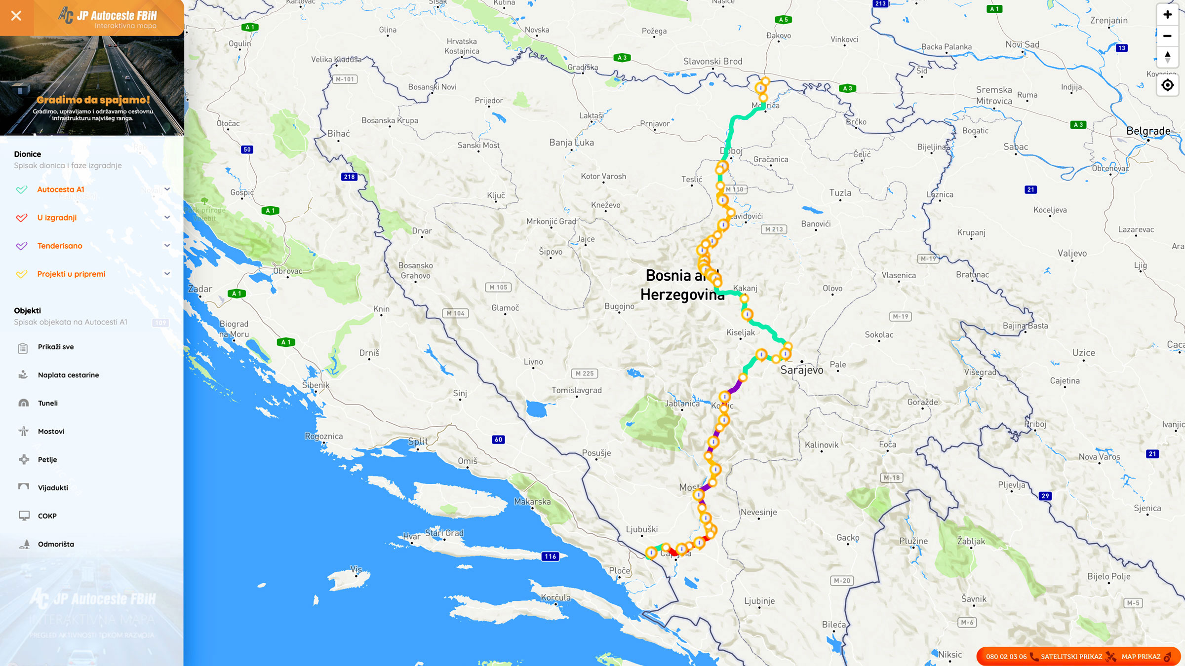
Graphic overview for Nodes
Nodes The nodal point represents the position (point element) that represents the place (position) of the beginning of the section or … Bosnia and Herzegovina None PC Highways of FBiH otherRestrictions
Graphic overview for Nomenclature of cadastral plan sheets, metadata for dataset
Nomenclature of cadastral plan sheets, metadata for dataset Nomenclature of sheets of cadastral plans for scales 1:500, 1:1000, 1:2500, 1:5000, 1:10000. Nomenclature of sheets of cadastral plans is … North Macedonia Dec. 22, 2018 Agency for Real Estate Cadastre otherRestrictions
Showing 10 of 23 records (filtered)
Page 1 of 2. next last »