Showing 10 of 33 records (filtered)
Applied filters: Topic Category: imageryBaseMapsEarthCover × Keywords: Orthoimagery × INSPIRE Theme: GE: Geology × Clear all filters
Page 1 of 3. next last »
Preview
Title
Abstract
Country
INSPIRE Theme
Publication Date
Responsible Party
Topic Categories
Keywords
Access Constraints
Actions
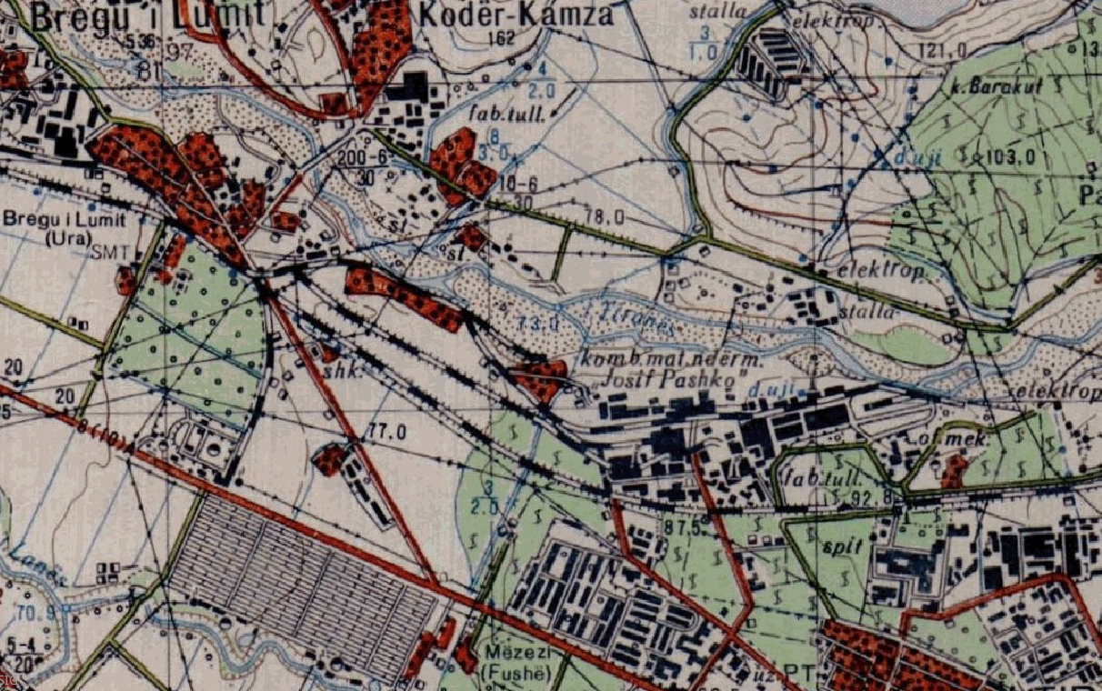
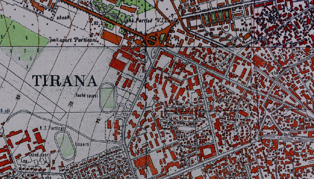
Graphic overview for Base Map, Topographic Map 1:10 000
Base Map, Topographic Map 1:10 000 Topographic map of scale 1:10000 in Image (raster) format created by the Institute of Geography and Military Infrastructure (former ITU). … Albania Jan. 1, 2015 Institute of Geography and Military Infrastructure (formerly ITU) otherRestrictions
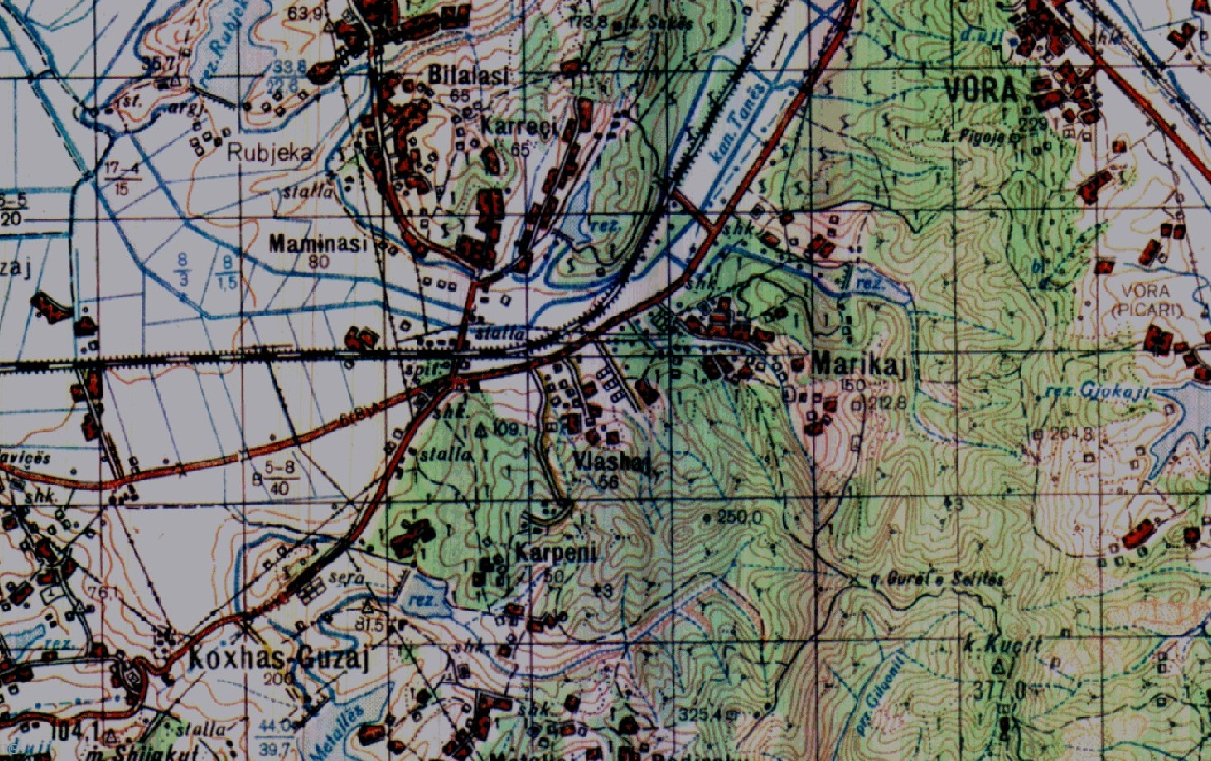
Graphic overview for Base Map, Topographic Map 1:25 000
Base Map, Topographic Map 1:25 000 Topographic maps of scale 1:25 000 were published by the Geographical Institute and Military Infrastructure (former ITU), in the years … Albania Jan. 1, 2015 Institute of Geography and Military Infrastructure (formerly ITU) otherRestrictions
Graphic overview for Base Map, Topographic Map 1:50 000
Base Map, Topographic Map 1:50 000 Topographic maps of scale 1:50000 were published by the Institute of Geography and Military Infrastructure (formerly ITU), in the period … Albania Jan. 1, 2015 Institute of Geography and Military Infrastructure (formerly ITU) otherRestrictions
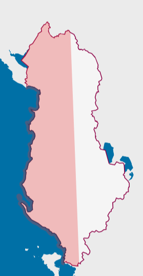
Graphic overview for Orthoimagery Coverage (Year 1976-1986)
Orthoimagery Coverage (Year 1976-1986) Orthoimagery overlay for the Orthophoto layer of 1976-1986. The data are in accordance with the standard with the Council of … Albania Jan. 13, 2025 State Authority for Geospatial Information (ASIG) copyright
Graphic overview for Orthoimagery Coverage (Year 1976-1986) 1:25 000
Orthoimagery Coverage (Year 1976-1986) 1:25 000 Orthoimagery overlay for the Orthophoto layer of 1976-1986 1:25 000. The data are in accordance with the standard with the … Albania Jan. 26, 2026 State Authority for Geospatial Information (ASIG) copyright
Graphic overview for Orthoimagery Coverage 2026
Orthoimagery Coverage 2026 Information on the coverage area and technical specifications of orthoimagery for the year 2026. The data are in accordance with … Albania July 28, 2026 State Authority for Geospatial Information (ASIG) copyright
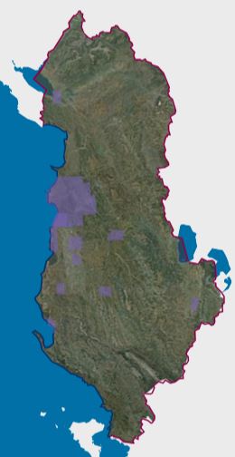
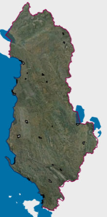
Graphic overview for 2019 UAV Orthoimagery Coverage
2019 UAV Orthoimagery Coverage The orthoimagery coverage of the 2019 Orthophoto (UAV) is the product of UAV (Drone) photography of 24 urban areas. The … Albania May 11, 2022 State Authority for Geospatial Information copyright
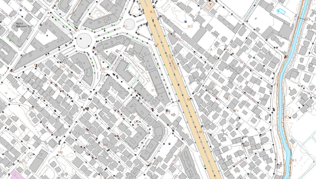
Graphic overview for Base Map Image, Topographic Map 1:2000
Base Map Image, Topographic Map 1:2000 Base map of scale 1:2 000 in Image (raster) format, created by the State Authority for Geospatial Information (ASIG) in … Albania June 29, 2022 State Authority for Geospatial Information copyright
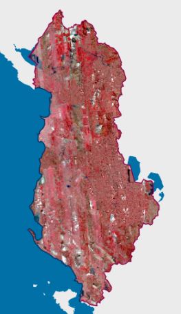
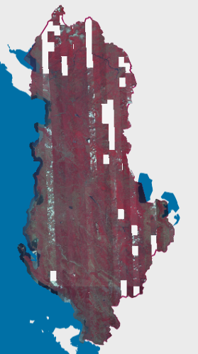
Graphic overview for CIR 2023 Satellite Orthophoto
CIR 2023 Satellite Orthophoto The CIR 2023 Satellite Orthophoto covers an area of approximately 28,748 km². It was obtained through the “Satellite Service” project … Albania Sept. 23, 2024 State Authority for Geospatial Information copyright
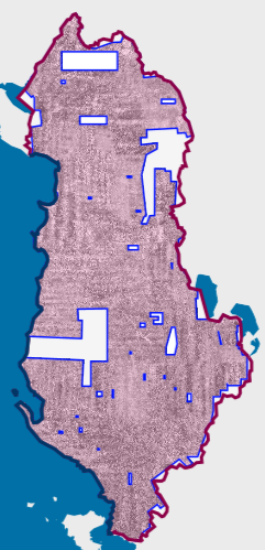
Graphic overview for CIR 2025 Satellite Orthophoto
CIR 2025 Satellite Orthophoto The CIR 2025 Satellite Orthophoto covers 95% of the territory of the Republic of Albania from satellite images collected during … Albania Aug. 20, 2025 State Authority for Geospatial Information copyright
Showing 10 of 33 records (filtered)
Page 1 of 3. next last »