Showing 5 of 5 records (filtered)
Applied filters: Keywords: Plot × INSPIRE Theme: GE: Geology × Clear all filters
Preview
Title
Abstract
Country
INSPIRE Theme
Publication Date
Responsible Party
Topic Categories
Keywords
Access Constraints
Actions
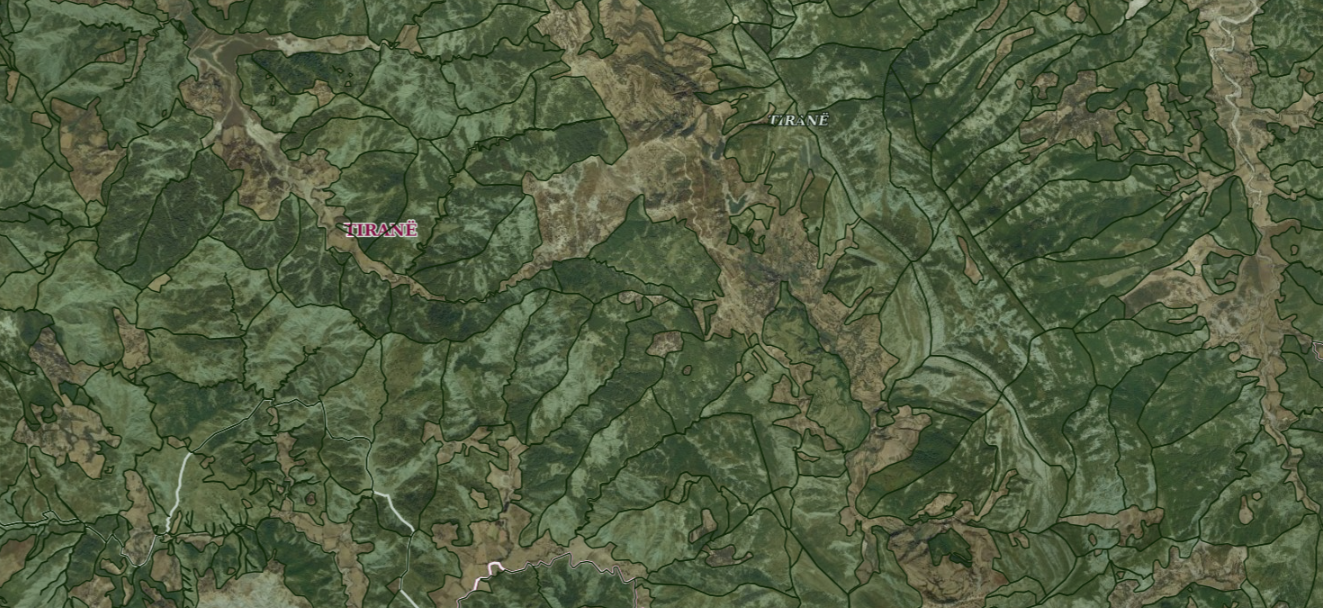
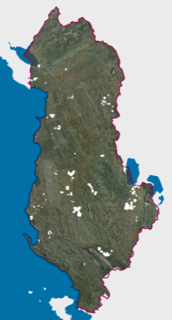
Graphic overview for ALFIS, Forest plot
ALFIS, Forest plot Forest parcel or “Plot” is the name of the forest area, with clear natural boundaries, which is created by dividing … Albania May 14, 2026 National Forestry Agency (NFA) copyright
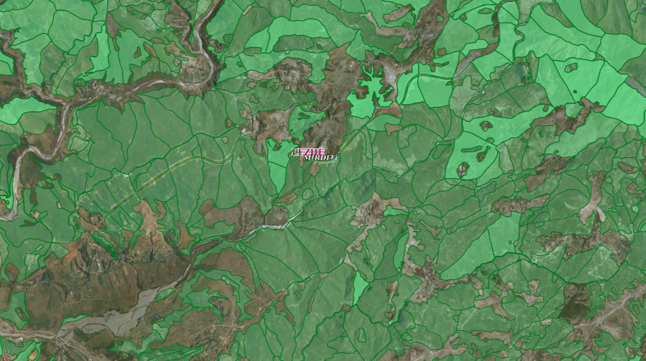
Graphic overview for ALFIS, Forest sub-plot
ALFIS, Forest sub-plot Sub-plot or “Sub-plot” is a surface unit with a minimum size of 0.5 ha, which serves for the assessment of … Albania May 14, 2026 National Forestry Agency (NFA) copyright
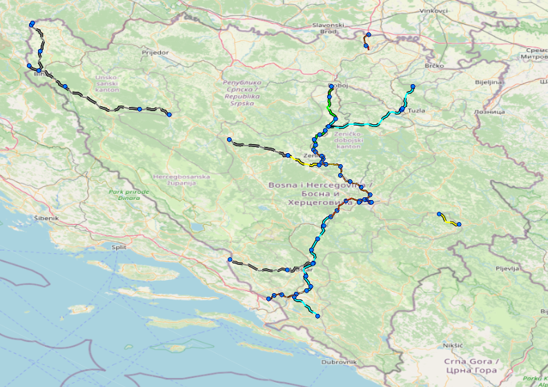
Graphic overview for Facilities under the jurisdiction of the Highway Federation of Bosnia and Herzegovina
Facilities under the jurisdiction of the Highway Federation of Bosnia and Herzegovina Tollbooths, rest areas, Grnični prešel, COKP, permanent facilities (bridge, tunnel, viaduct, ramp, overpass, underpass and culverts) and auxiliary facilities Bosnia and Herzegovina None JP Highways of the Federation of BiH doo Mostar otherRestrictions
Graphic overview for Pasture cadastre
Pasture cadastre The management of state pastures in the Federation is entrusted to the cantons. The canton on whose territory the pastures … Bosnia and Herzegovina None Ministry of Agriculture, Forestry and Water Management of Zenica-Doboj Canton otherRestrictions
Graphic overview for DCM No. 45, dated 29.01.2014, on agricultural land plots
DCM No. 45, dated 29.01.2014, on agricultural land plots This data set represents the agricultural land plots that, by decisions of the Council of Ministers no. 45, dated 29.01.2014, … Albania Jan. 1, 2018 Ministry of Agriculture and Rural Development copyright
Showing 5 of 5 records (filtered)