Showing 10 of 19 records (filtered)
Applied filters: Keywords: for × INSPIRE Theme: GE: Geology × Clear all filters
Page 1 of 2. next last »
Preview
Title
Abstract
Country
INSPIRE Theme
Publication Date
Responsible Party
Topic Categories
Keywords
Access Constraints
Actions
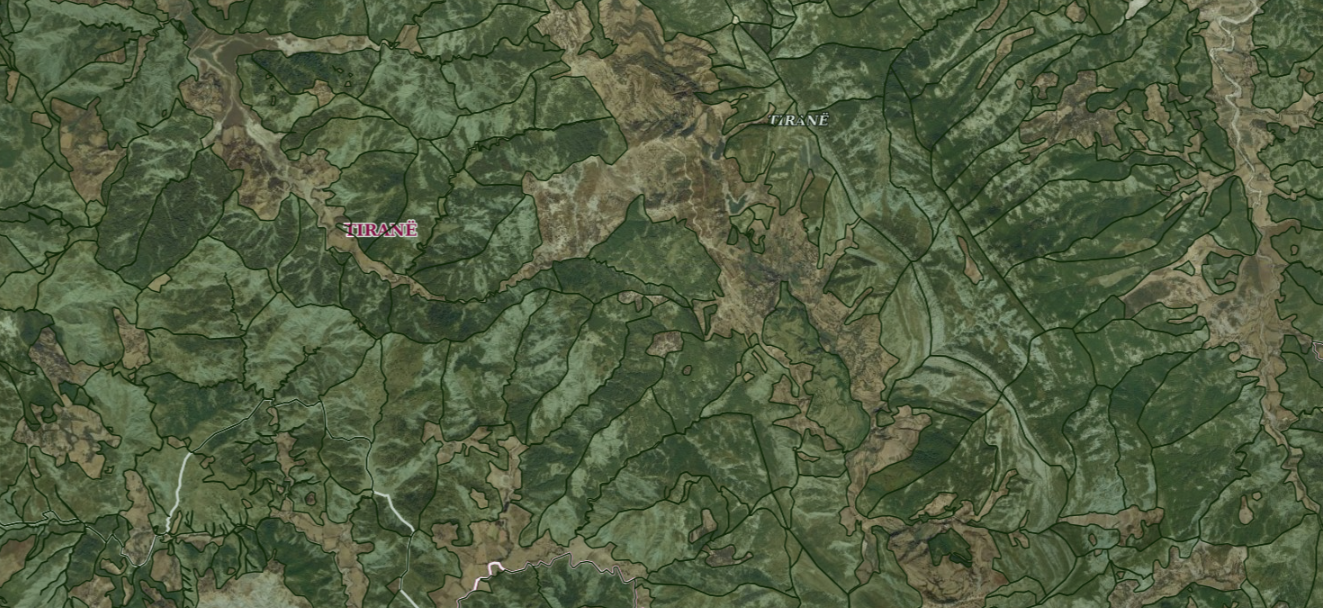
Graphic overview for ALFIS, Forest plot
ALFIS, Forest plot Forest parcel or “Plot” is the name of the forest area, with clear natural boundaries, which is created by dividing … Albania May 14, 2026 National Forestry Agency (NFA) copyright
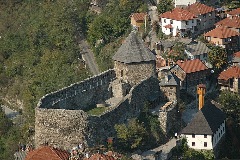
Graphic overview for Cultural and historical heritage assets
Cultural and historical heritage assets Cultural and historical heritage is considered to be real estate and movable property, as well as their groups and units … Bosnia and Herzegovina Jan. 1, 2002 Institute for the Protection of Monuments within the Federal Ministry of Culture and Sports otherRestrictions
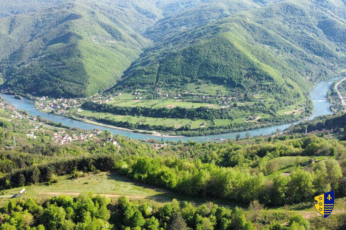
Graphic overview for Forest management basis for private forests of the Bosnian-Podrinje Canton Goražde
Forest management basis for private forests of the Bosnian-Podrinje Canton Goražde Data on private forests and forest land in the area of the Bosnian Podrinje Canton Goražde. Bosnia and Herzegovina None Cantonal Forestry Administration of the Bosnian-Podrinje Canton Goražde otherRestrictions
Graphic overview for Forestry basis for state forests of the Bosnian-Podrinje Canton Goražde
Forestry basis for state forests of the Bosnian-Podrinje Canton Goražde Data on state-owned forests and forest land in the territory of the Bosnian-Podrinje Canton Goražde. The validity date of the … Bosnia and Herzegovina None Cantonal Forestry Administration of the Bosnian-Podrinje Canton Goražde otherRestrictions
Graphic overview for Map of mineral resources of the Republic of Macedonia, ores and ore-bearing formations at a scale of 1:200,000
Map of mineral resources of the Republic of Macedonia, ores and ore-bearing formations at a scale of 1:200,000 geological - metallogenetic formations, Old Alpine formations, genetic types of deposits and occurrences and LIST OF DEPOSITS AND OCCURRENCES North Macedonia Jan. 1, 1977 Geological Survey of the Republic of North Macedonia otherRestrictions
Graphic overview for Nomenclature of sheets in the cartographic database for TK25,TK50,TK100 and TK200
Nomenclature of sheets in the cartographic database for TK25,TK50,TK100 and TK200 Nomenclature of map sheets is the division of the earth's surface into sheets according to certain rules and their numbering … North Macedonia April 1, 2004 Agency for Real Estate Cadastre otherRestrictions
Graphic overview for Orthophoto CIR 2015 (20 cm)
Orthophoto CIR 2015 (20 cm) Orthophoto CIR period 2015-2017 with a resolution of 20 cm per pixel which covers the territory of the Republic of … Albania Jan. 1, 2017 State Authority for Geospatial Information (ASIG) copyright
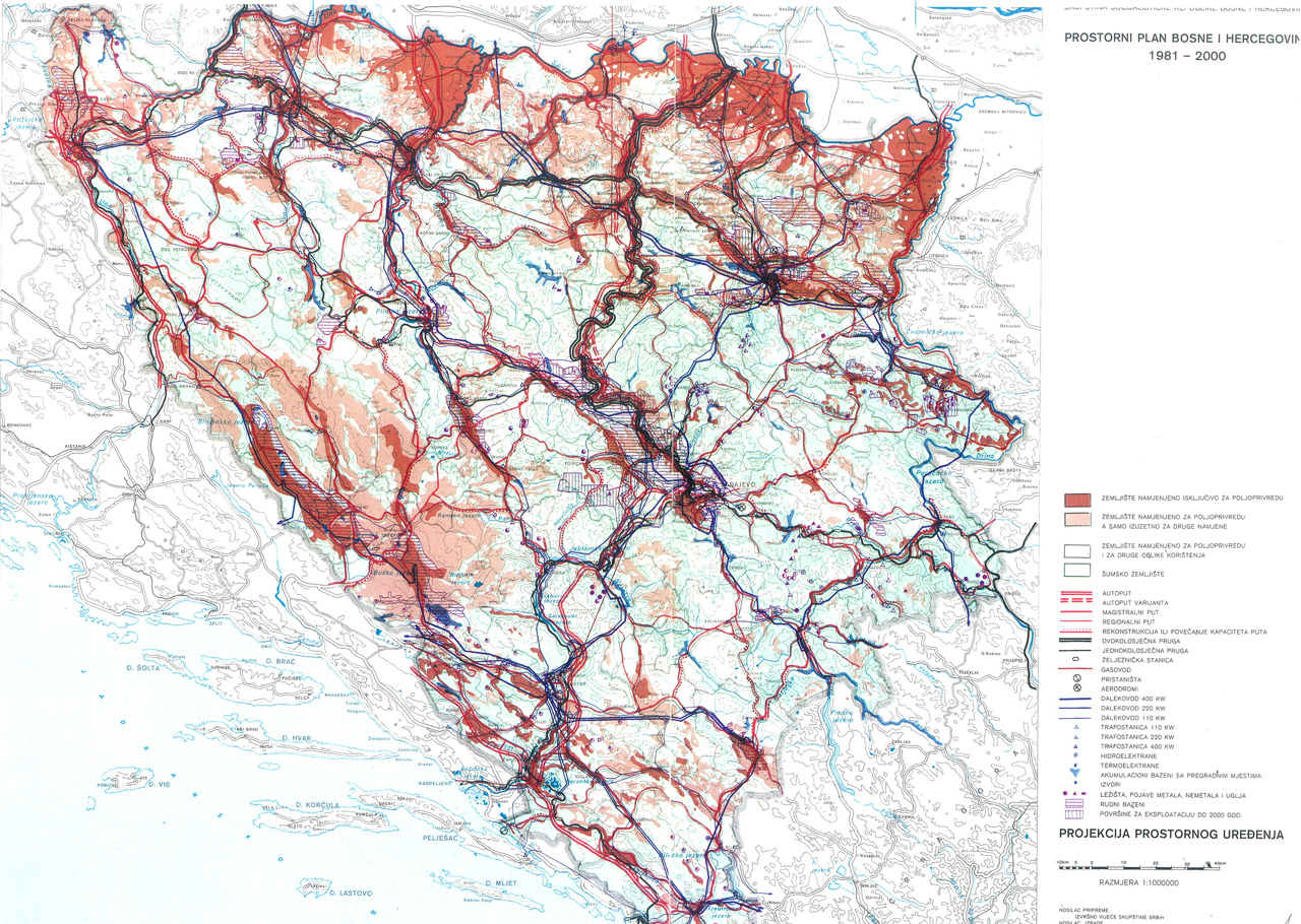
Graphic overview for Spatial plan of Bosnia and Herzegovina for the period from 1981 to 2000
Spatial plan of Bosnia and Herzegovina for the period from 1981 to 2000 The Spatial Plan of Bosnia and Herzegovina for the period from 1981 to 2000 was adopted by the Assembly of … Bosnia and Herzegovina Jan. 1, 1982 Federal Ministry of Physical Planning otherRestrictions
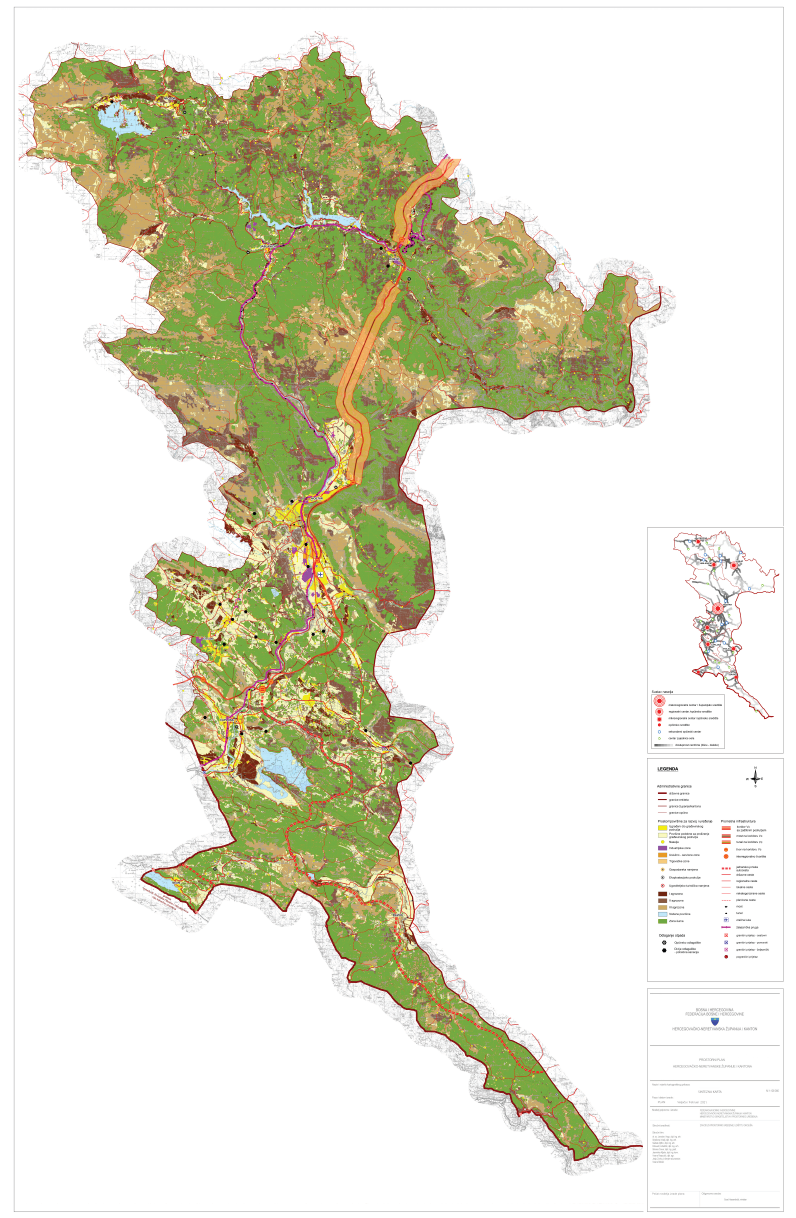
Graphic overview for Spatial plan of the Herzegovina-Neretva Canton/County
Spatial plan of the Herzegovina-Neretva Canton/County The Spatial Plan of the Herzegovina-Neretva County/Canton is a mandatory planning document for the territory of the County/Canton, which regulates … Bosnia and Herzegovina None Ministry of Construction and Spatial Planning of Herzegovina-Neretva Canton/County otherRestrictions
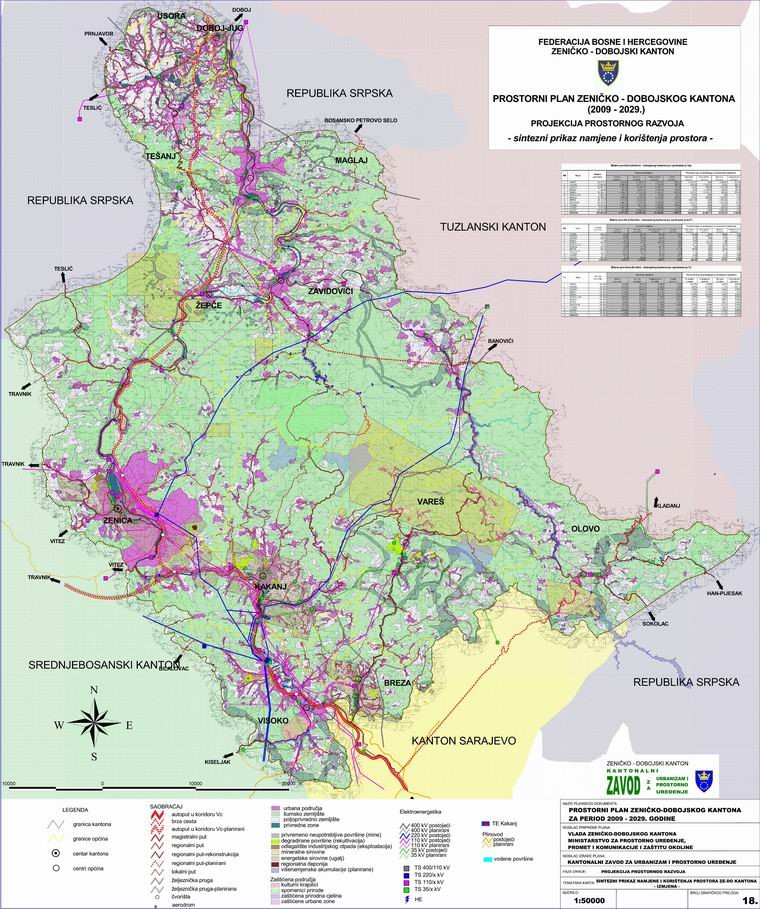
Graphic overview for Spatial Plan of Zenica-Doboj Canton 2009-2029.
Spatial Plan of Zenica-Doboj Canton 2009-2029. The Spatial Plan of the Zenica-Doboj Canton is the first mandatory planning document for the territory of the Canton, which … Bosnia and Herzegovina Feb. 20, 2009 Institute for Urban Planning and Spatial Development of Zenica-Doboj Canton otherRestrictions
Showing 10 of 19 records (filtered)
Page 1 of 2. next last »