Showing 10 of 24 records (filtered)
Applied filters: Keywords: map × INSPIRE Theme: GE: Geology × Clear all filters
Page 1 of 2. next last »
Preview
Title
Abstract
Country
INSPIRE Theme
Publication Date
Responsible Party
Topic Categories
Keywords
Access Constraints
Actions
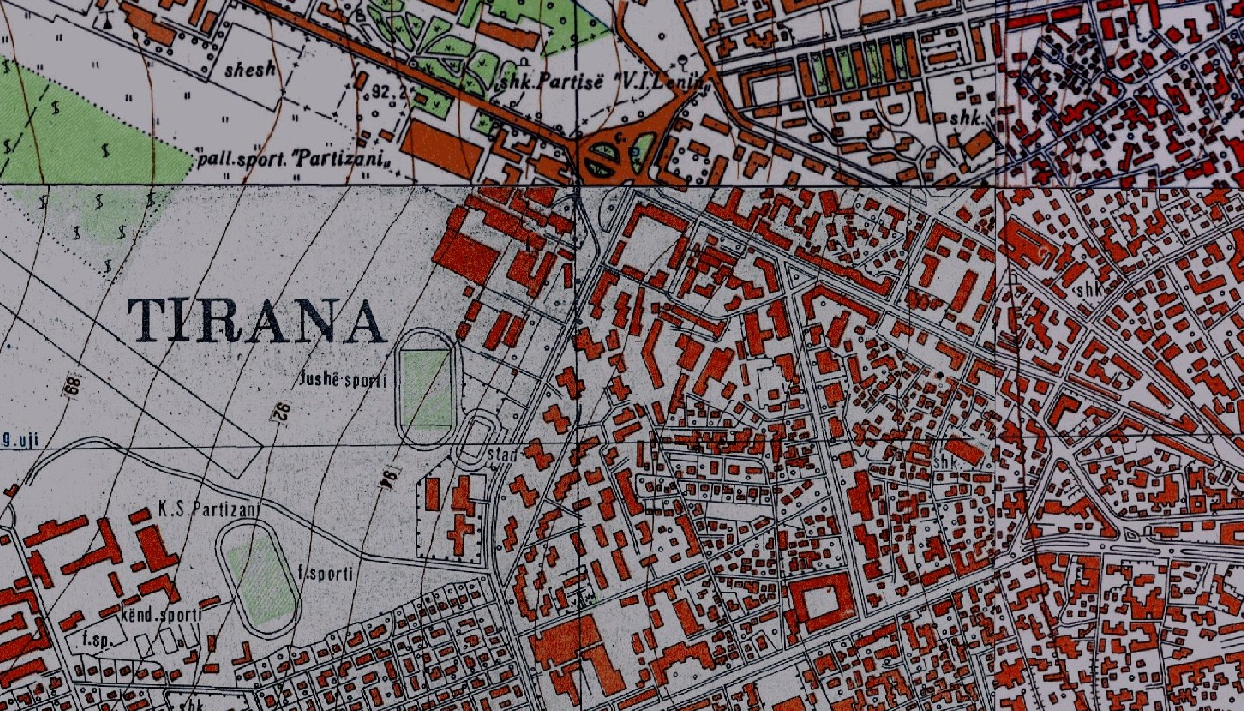
Graphic overview for Base Map, Topographic Map 1:10 000
Base Map, Topographic Map 1:10 000 Topographic map of scale 1:10000 in Image (raster) format created by the Institute of Geography and Military Infrastructure (former ITU). … Albania Jan. 1, 2015 Institute of Geography and Military Infrastructure (formerly ITU) otherRestrictions
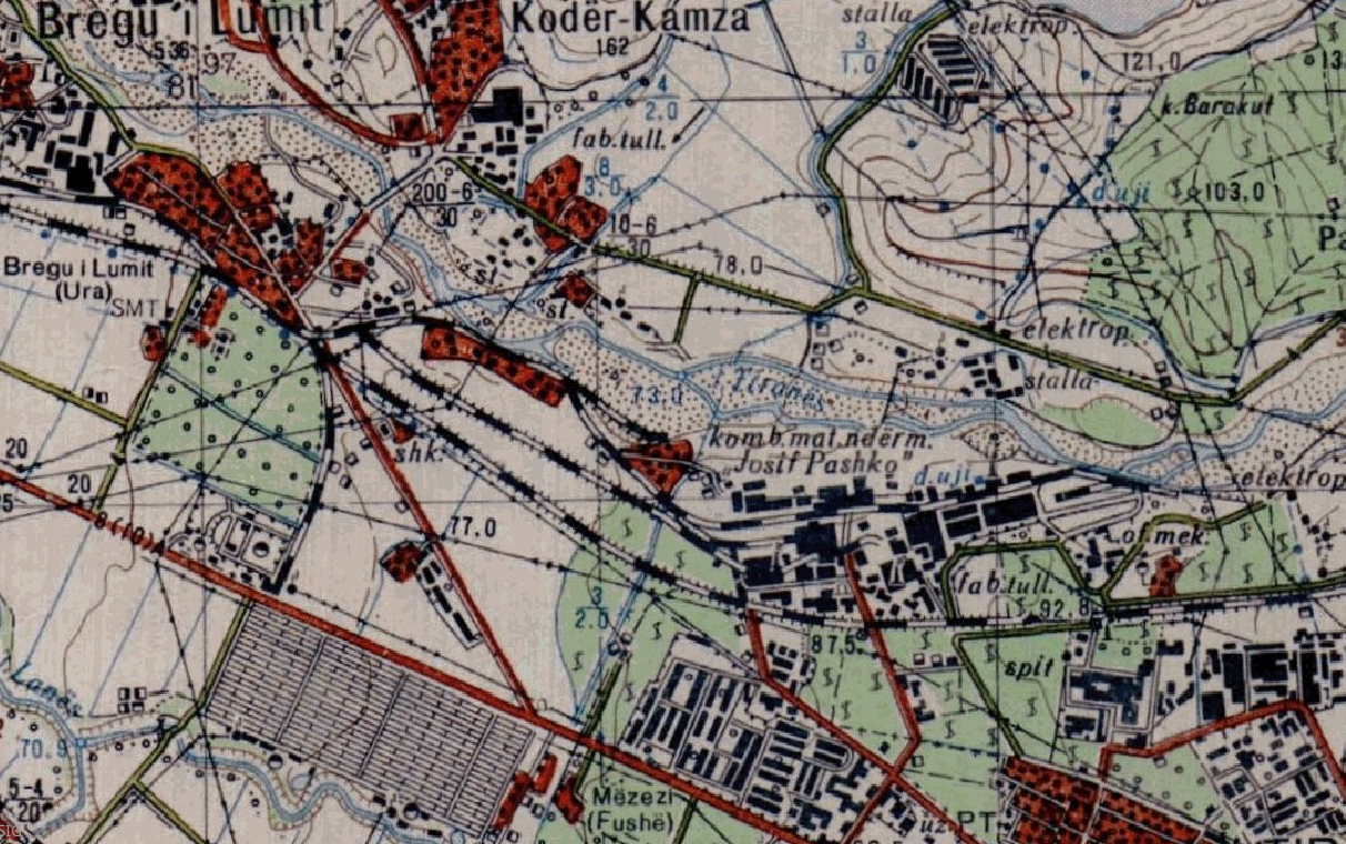
Graphic overview for Base Map, Topographic Map 1:25 000
Base Map, Topographic Map 1:25 000 Topographic maps of scale 1:25 000 were published by the Geographical Institute and Military Infrastructure (former ITU), in the years … Albania Jan. 1, 2015 Institute of Geography and Military Infrastructure (formerly ITU) otherRestrictions
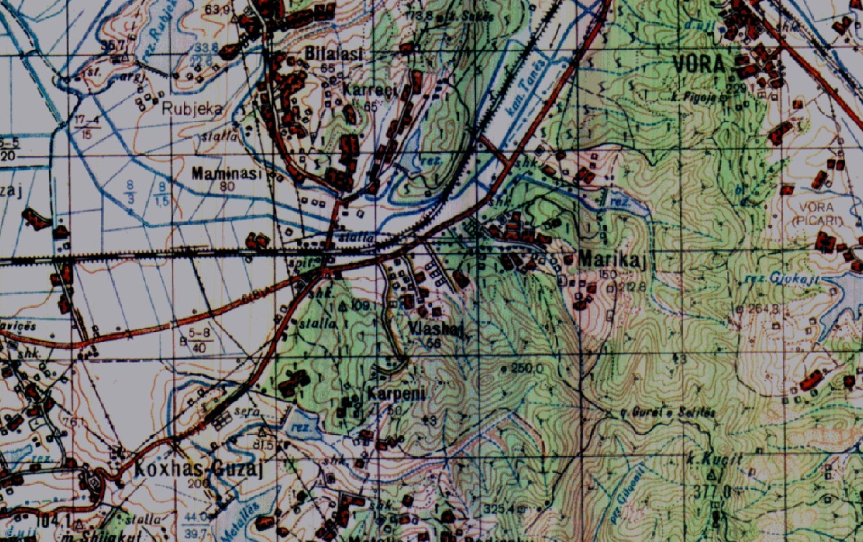
Graphic overview for Base Map, Topographic Map 1:50 000
Base Map, Topographic Map 1:50 000 Topographic maps of scale 1:50000 were published by the Institute of Geography and Military Infrastructure (formerly ITU), in the period … Albania Jan. 1, 2015 Institute of Geography and Military Infrastructure (formerly ITU) otherRestrictions
Graphic overview for Engineering and geological map of the Republic of Macedonia at a scale of 1:200,000
Engineering and geological map of the Republic of Macedonia at a scale of 1:200,000 ENGINEERING GEOLOGICAL COMPOSITION AND BASIC PROPERTIES OF ROCKS, symbols for formations of geological processes, symbols for physical and mechanical properties … North Macedonia Jan. 1, 1977 Geological Survey of the Republic of North Macedonia otherRestrictions
Graphic overview for Engineering geological map of the Republic of Macedonia, regionalization of the terrain according to stability and seismicity at a scale of 1:200,000
Engineering geological map of the Republic of Macedonia, regionalization of the terrain according to stability and seismicity at a scale of 1:200,000 Terrain categorization according to stability, seismic zoning of the terrain according to engineering-geological conditions of the soil North Macedonia Jan. 1, 1977 Geological Survey of the Republic of North Macedonia otherRestrictions
Graphic overview for Hydrogeological map of mineral, thermal and thermomineral waters of the Republic of Macedonia at a scale of 1: 200,000
Hydrogeological map of mineral, thermal and thermomineral waters of the Republic of Macedonia at a scale of 1: 200,000 The map shows the lithological composition and hydrogeological features of the rocks, hydrogeochemical provinces of the mineral and thermal waters, … North Macedonia Jan. 1, 1977 Geological Survey of the Republic of North Macedonia otherRestrictions
Graphic overview for Hydrogeological map of the Republic of Macedonia at a scale of 1: 200,000
Hydrogeological map of the Republic of Macedonia at a scale of 1: 200,000 LITHOLOGY DESCRIPTION AND STRATIGRAPHIC RELATIONSHIP: lithological composition, geological structural elements, field regionalization by types of outcrops and outcrops, hydrogeological phenomena, … North Macedonia Jan. 1, 1977 Geological Survey of the Republic of North Macedonia otherRestrictions
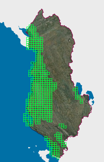
Graphic overview for Map Nomenclature 1:10000
Map Nomenclature 1:10000 These are the data created by the digitalization of the 1:10000 scale topographic map frame, which are scanned, georeferenced and … Albania Oct. 13, 2020 State Authority for Geospatial Information (ASIG) copyright
Graphic overview for Map of mineral resources of the Republic of Macedonia, ores and ore-bearing formations at a scale of 1:200,000
Map of mineral resources of the Republic of Macedonia, ores and ore-bearing formations at a scale of 1:200,000 geological - metallogenetic formations, Old Alpine formations, genetic types of deposits and occurrences and LIST OF DEPOSITS AND OCCURRENCES North Macedonia Jan. 1, 1977 Geological Survey of the Republic of North Macedonia otherRestrictions
Graphic overview for Nomenclature of cadastral plan sheets, metadata for dataset
Nomenclature of cadastral plan sheets, metadata for dataset Nomenclature of sheets of cadastral plans for scales 1:500, 1:1000, 1:2500, 1:5000, 1:10000. Nomenclature of sheets of cadastral plans is … North Macedonia Dec. 22, 2018 Agency for Real Estate Cadastre otherRestrictions
Showing 10 of 24 records (filtered)
Page 1 of 2. next last »