Showing 10 of 448 records (filtered)
Applied filters: INSPIRE Theme: GE: Geology × Clear all filters
« first previous Page 3 of 45. next last »
Preview
Title
Abstract
Country
INSPIRE Theme
Publication Date
Responsible Party
Topic Categories
Keywords
Access Constraints
Actions
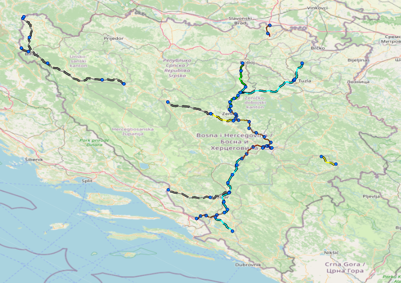
Graphic overview for Facilities under the jurisdiction of the Highway Federation of Bosnia and Herzegovina
Facilities under the jurisdiction of the Highway Federation of Bosnia and Herzegovina Tollbooths, rest areas, Grnični prešel, COKP, permanent facilities (bridge, tunnel, viaduct, ramp, overpass, underpass and culverts) and auxiliary facilities Bosnia and Herzegovina None JP Highways of the Federation of BiH doo Mostar otherRestrictions
Graphic overview for FNE Concession Contract Register
FNE Concession Contract Register / Bosnia and Herzegovina None Ministry of Economy of Herzegovina-Neretva County otherRestrictions
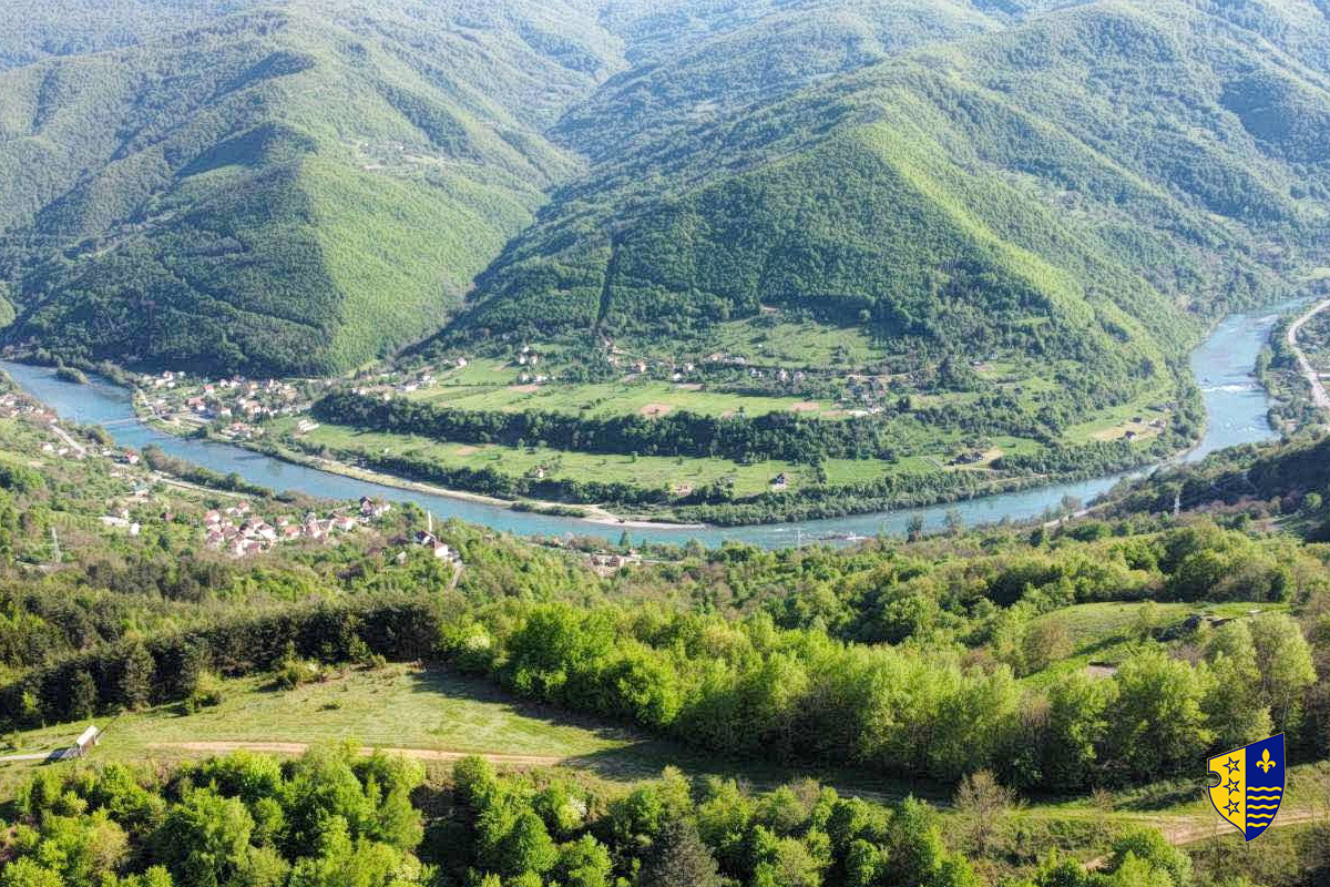
Graphic overview for Forest management basis for private forests of the Bosnian-Podrinje Canton Goražde
Forest management basis for private forests of the Bosnian-Podrinje Canton Goražde Data on private forests and forest land in the area of the Bosnian Podrinje Canton Goražde. Bosnia and Herzegovina None Cantonal Forestry Administration of the Bosnian-Podrinje Canton Goražde otherRestrictions
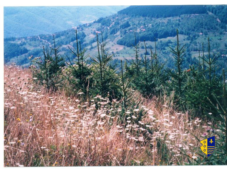
Graphic overview for Forestry basis for state forests of the Bosnian-Podrinje Canton Goražde
Forestry basis for state forests of the Bosnian-Podrinje Canton Goražde Data on state-owned forests and forest land in the territory of the Bosnian-Podrinje Canton Goražde. The validity date of the … Bosnia and Herzegovina None Cantonal Forestry Administration of the Bosnian-Podrinje Canton Goražde otherRestrictions
Graphic overview for Geographical Names of the Republic of North Macedonia TC (200-2004) - INSPIRE, dataset metadata
Geographical Names of the Republic of North Macedonia TC (200-2004) - INSPIRE, dataset metadata Geographical names from the topographic database TK 200 for the entire territory of the Republic of North Macedonia according to … North Macedonia March 12, 2024 Agency for Real Estate Cadastre otherRestrictions
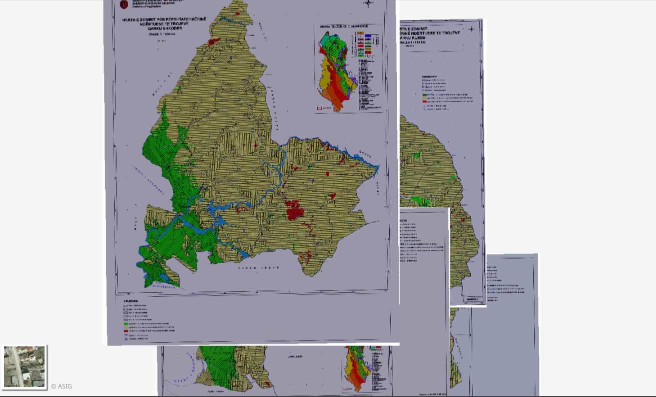
Graphic overview for Geological Zoning, Thematic Maps
Geological Zoning, Thematic Maps Zoning maps for the construction suitability of lands of 12 regions in the Republic of Albania constructed according to geological … Albania March 17, 2015 Albanian Geological Survey (AGS) copyright
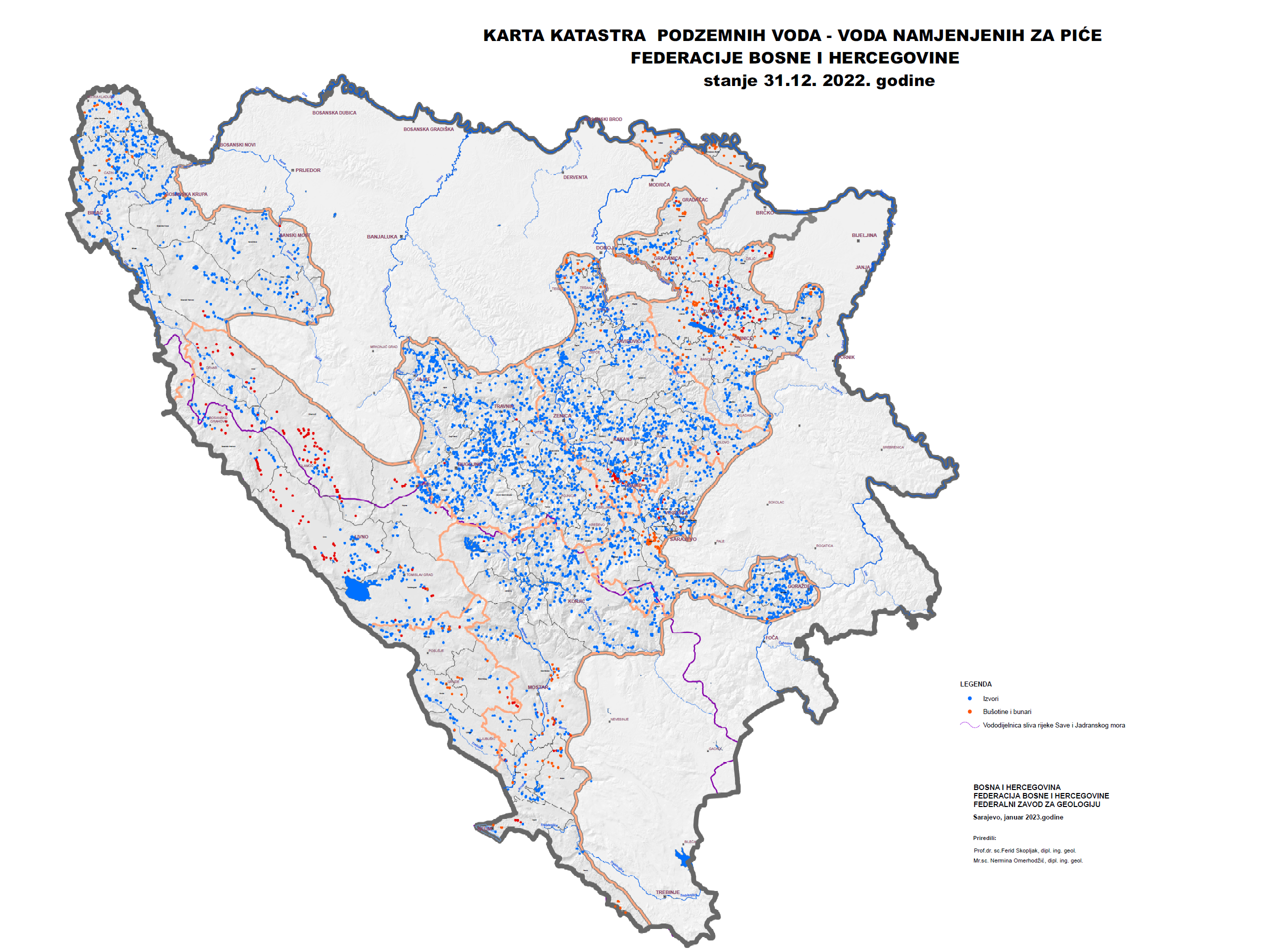
Graphic overview for Groundwater Cadastre of the Federation of Bosnia and Herzegovina
Groundwater Cadastre of the Federation of Bosnia and Herzegovina The Groundwater Register of the Federation of Bosnia and Herzegovina is a comprehensive document that includes cadastral lists of groundwater … Bosnia and Herzegovina None Federal Institute of Geology otherRestrictions
Graphic overview for Hydrogeological map of mineral, thermal and thermomineral waters of the Republic of Macedonia at a scale of 1: 200,000
Hydrogeological map of mineral, thermal and thermomineral waters of the Republic of Macedonia at a scale of 1: 200,000 The map shows the lithological composition and hydrogeological features of the rocks, hydrogeochemical provinces of the mineral and thermal waters, … North Macedonia Jan. 1, 1977 Geological Survey of the Republic of North Macedonia otherRestrictions
Graphic overview for Hydrogeological map of the Republic of Macedonia at a scale of 1: 200,000
Hydrogeological map of the Republic of Macedonia at a scale of 1: 200,000 LITHOLOGY DESCRIPTION AND STRATIGRAPHIC RELATIONSHIP: lithological composition, geological structural elements, field regionalization by types of outcrops and outcrops, hydrogeological phenomena, … North Macedonia Jan. 1, 1977 Geological Survey of the Republic of North Macedonia otherRestrictions
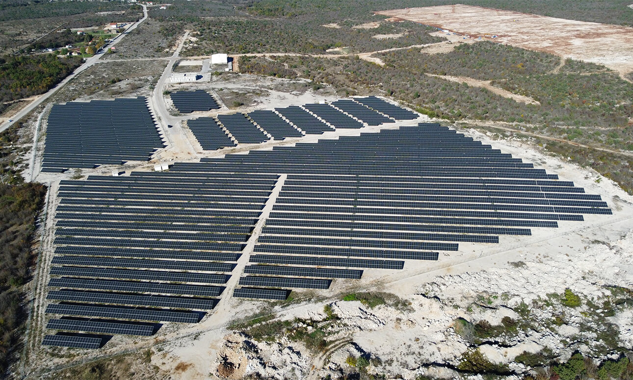
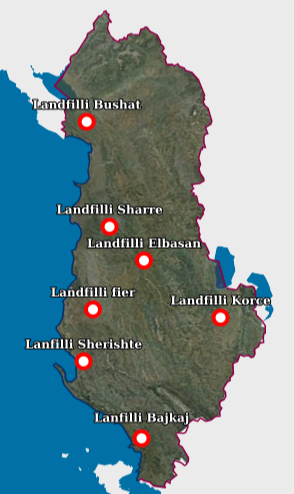
Graphic overview for Landfill
Landfill Waste Landfill – Each location of the respective landfill and the technical specifications specified in the relevant permit. The data … Albania Aug. 18, 2026 National Environmental Agency (NEA) copyright
Showing 10 of 448 records (filtered)
« first previous Page 3 of 45. next last »