Showing 4 of 4 records (filtered)
Applied filters: Keywords: DOF × INSPIRE Theme: GN: Geographical Names × Clear all filters
Preview
Title
Abstract
Country
INSPIRE Theme
Publication Date
Responsible Party
Topic Categories
Keywords
Access Constraints
Actions
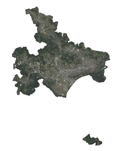
Graphic overview for Orthophoto 2017
Orthophoto 2017 Digital orthophoto images of the Sarajevo Canton area at a scale of 1:2500, created based on aerial photogrammetric imaging. The … Bosnia and Herzegovina Jan. 1, 2018 Federal Administration for Geodetic and Property Legal Affairs otherRestrictions
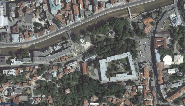
Graphic overview for Orthophoto 2018
Orthophoto 2018 Digital orthophoto images of the Federation of Bosnia and Herzegovina at scales of 1:2500 and 1:5000, created based on satellite … Bosnia and Herzegovina Jan. 1, 2019 Federal Administration for Geodetic and Property Legal Affairs other Restrictions
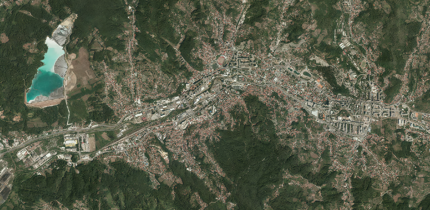
Graphic overview for Orthophoto 2022
Orthophoto 2022 The orthophoto images were created based on aerial photographs of the Federation of Bosnia and Herzegovina. The images were taken … Bosnia and Herzegovina May 1, 2023 Federal Administration for Geodetic and Property Legal Affairs other Restrictions
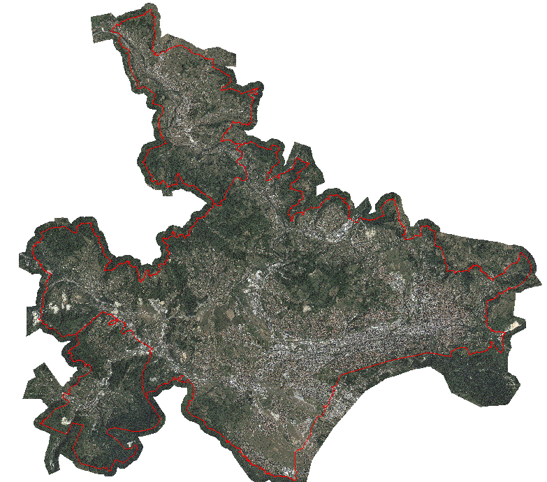
Graphic overview for Orthophoto map of the urban area of the Sarajevo Canton
Orthophoto map of the urban area of the Sarajevo Canton An orthophoto is an aerial/satellite image of the ground in digital raster form, which has been geometrically corrected using special … Bosnia and Herzegovina None Sarajevo Canton Development Planning Institute other Restrictions
Showing 4 of 4 records (filtered)