Showing 10 of 134 records (filtered)
Applied filters: INSPIRE Theme: GN: Geographical Names × Clear all filters
« first previous Page 7 of 13. next last »
Preview
Title
Abstract
Country
INSPIRE Theme
Publication Date
Responsible Party
Topic Categories
Keywords
Access Constraints
Actions
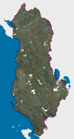
Graphic overview for DCM No. 45, dated 29.01.2014, on agricultural land plots
DCM No. 45, dated 29.01.2014, on agricultural land plots This data set represents the agricultural land plots that, by decisions of the Council of Ministers no. 45, dated 29.01.2014, … Albania Jan. 1, 2018 Ministry of Agriculture and Rural Development copyright
Graphic overview for Digital orthophoto 2018 (LiDAR project)
Digital orthophoto 2018 (LiDAR project) Within the project "Development of flood hazard and risk maps" in Bosnia and Herzegovina, one of the planned activities was … Bosnia and Herzegovina None Federal Administration for Geodetic and Property Legal Affairs other Restrictions
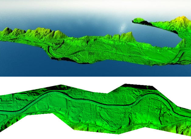
Graphic overview for Digital Terrain Model (LiDAR) 2018
Digital Terrain Model (LiDAR) 2018 digital terrain model (DTM) is a way of representing the terrain surface in digital form. Aerial laser scanning (LiDAR technology) … Bosnia and Herzegovina None Federal Administration for Geodetic and Property Legal Affairs other Restrictions
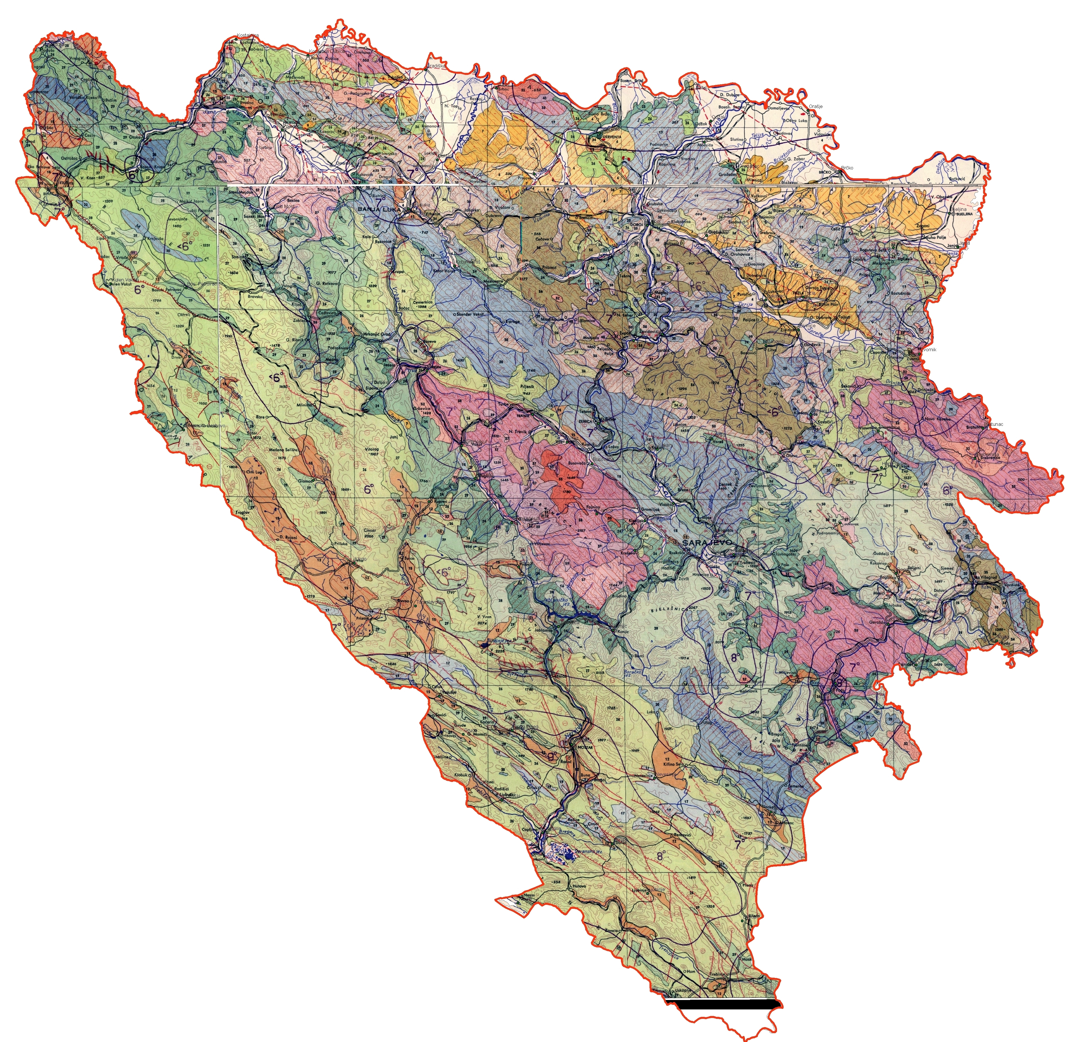
Graphic overview for Engineering-geological map of Bosnia and Herzegovina
Engineering-geological map of Bosnia and Herzegovina The engineering geological map of FBiH is characterized by a distinct diversity of lithostratigraphic composition (rocks and rock complexes are … Bosnia and Herzegovina None Federal Institute of Geology other Restrictions
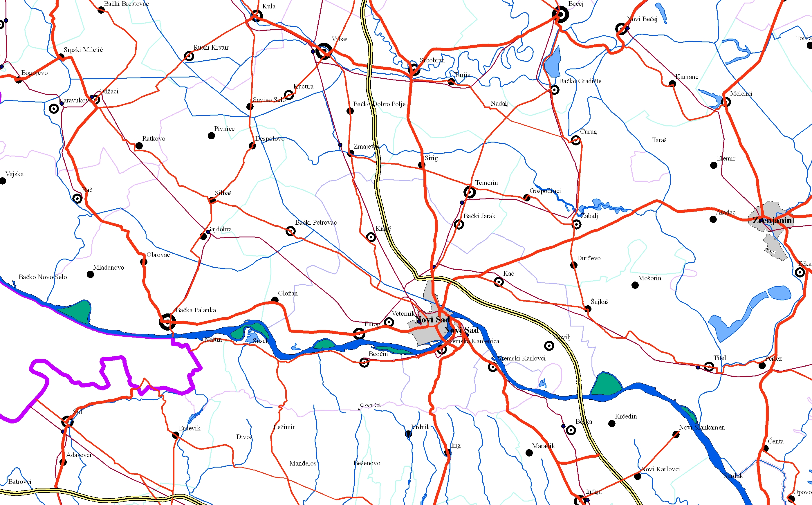
Graphic overview for EuroRegionalMap
EuroRegionalMap EuroRegionalMap (ERM) is a pan-European dataset containing topographic information at the scale 1:250 000 covering 51 European countries and territories … Serbia Oct. 30, 2017 Republic Geodetic Authority otherRestrictions
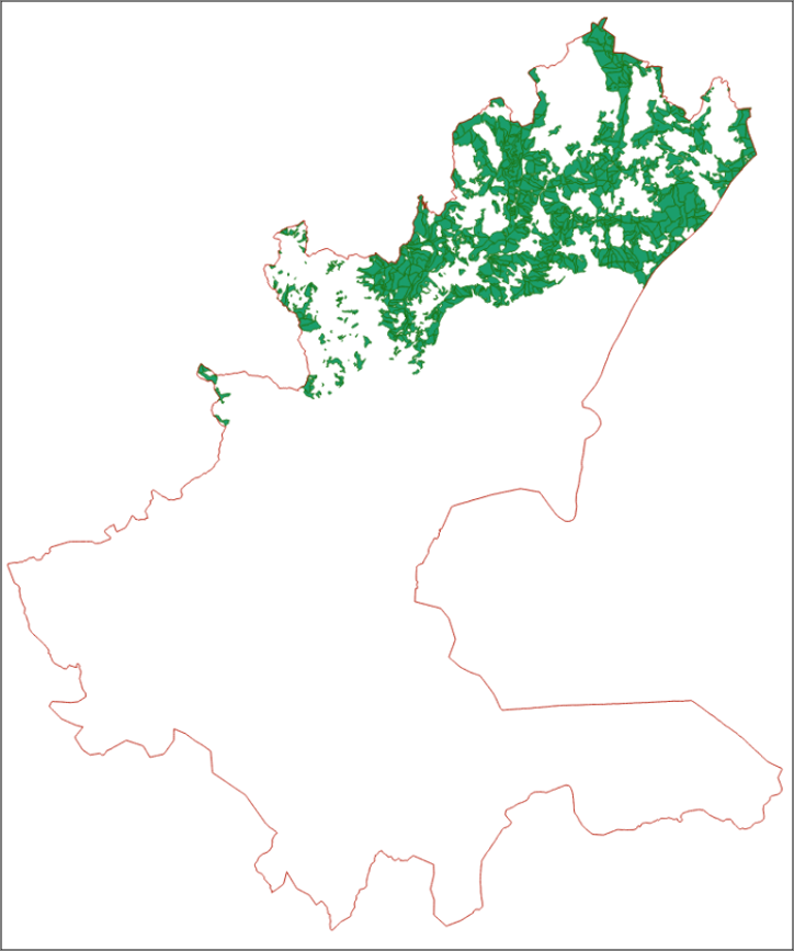
Graphic overview for Forest management area "Gornjebosansko" - part
Forest management area "Gornjebosansko" - part The forest management plan is the basic planning framework for forest management based on the principle of sustainable production and … Bosnia and Herzegovina Jan. 1, 2024 Ministry of Economy of Sarajevo Canton copyright
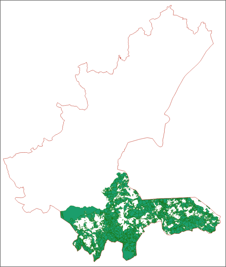
Graphic overview for Forest management area "Trnovsko"
Forest management area "Trnovsko" The forest management plan is the basic planning framework for forest management based on the principle of sustainable production and … Bosnia and Herzegovina Jan. 1, 2025 Ministry of Economy of Sarajevo Canton copyright
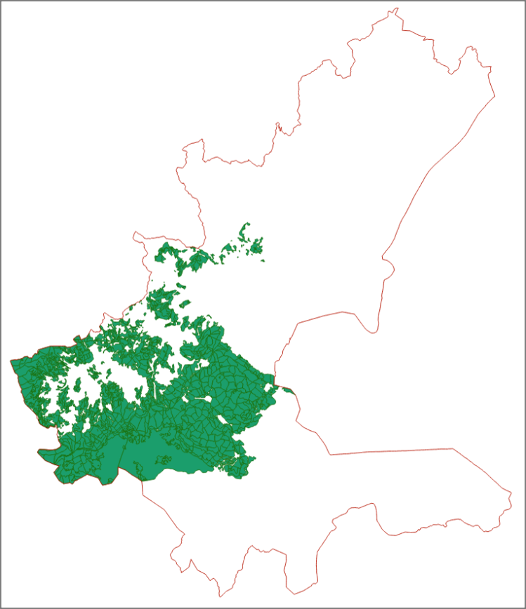
Graphic overview for Forestry area "Igmansko"
Forestry area "Igmansko" The forest management plan is the basic planning framework for forest management based on the principle of sustainable production and … Bosnia and Herzegovina Jan. 1, 2024 Ministry of Economy of Sarajevo Canton copyright
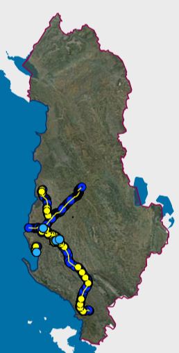
Graphic overview for Gas distribution network - ALBGaz
Gas distribution network - ALBGaz This pipeline network represents the natural gas transmission and distribution network in the Republic of Albania. The data model of … Albania Oct. 1, 2024 The combined gas transmission and distribution operator in Albania, ALBGaz copyright
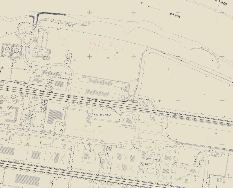
Graphic overview for Geodetic plans
Geodetic plans A geodetic plan is a detailed representation of a smaller part of the Earth's surface and all objects located on … Bosnia and Herzegovina Jan. 1, 2013 Federal Administration for Geodetic and Property Legal Affairs other Restrictions
Showing 10 of 134 records (filtered)
« first previous Page 7 of 13. next last »