Showing 10 of 134 records (filtered)
Applied filters: INSPIRE Theme: GN: Geographical Names × Clear all filters
« first previous Page 8 of 13. next last »
Preview
Title
Abstract
Country
INSPIRE Theme
Publication Date
Responsible Party
Topic Categories
Keywords
Access Constraints
Actions
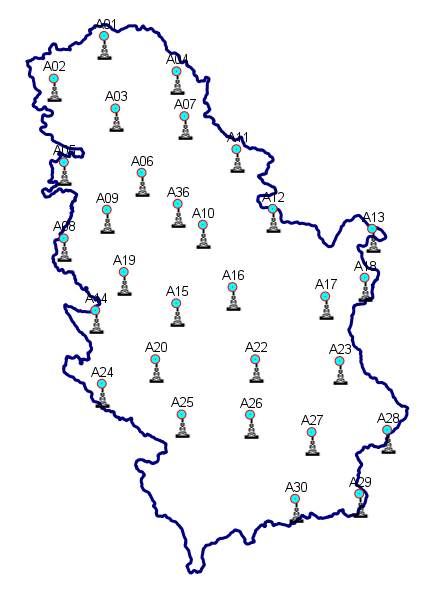
Graphic overview for Geodetic reference CORS network of Serbia - AGROS
Geodetic reference CORS network of Serbia - AGROS Geodetic reference CORS network of Serbia - AGROS, is a permanent service of precise GNSS positioning and navigation for the … Serbia June 1, 2008 Republic Geodetic Authority otherRestrictions
Graphic overview for Geographical-tourist map of Serbia at a scale of 1 : 500 000
Geographical-tourist map of Serbia at a scale of 1 : 500 000 Geographic and tourist map of Serbia at a scale of 1 : 500 000 is a digital geographic map based … Serbia Sept. 24, 2020 Republic Geodetic Authority otherRestrictions
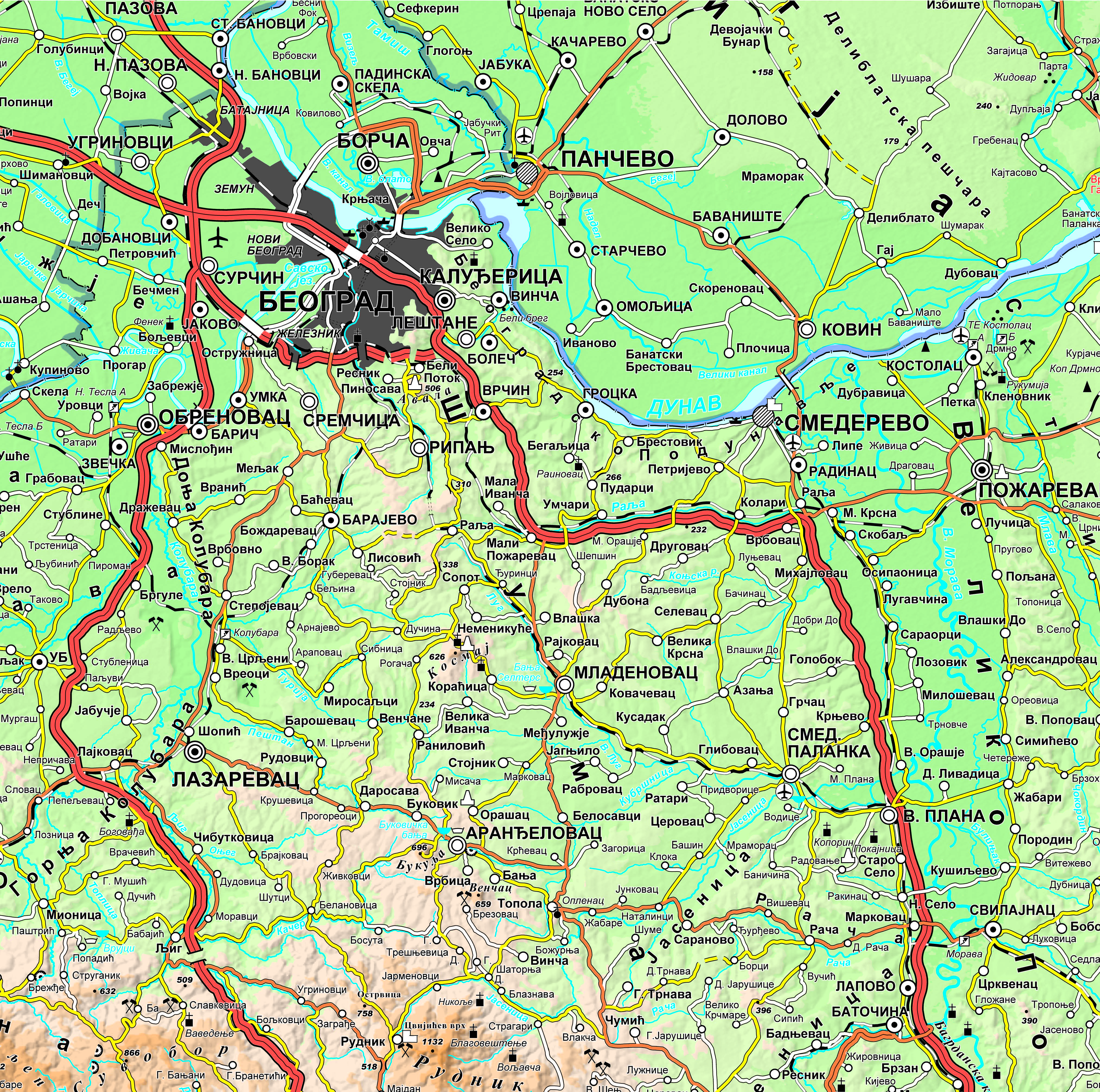
Graphic overview for Geographical-tourist map of Serbia at a scale of 1: 300 000
Geographical-tourist map of Serbia at a scale of 1: 300 000 Geographic and tourist map of Serbia at a scale of 1: 300 000 is a digital geographic map based on … Serbia Sept. 24, 2020 Republic Geodetic Authority otherRestrictions
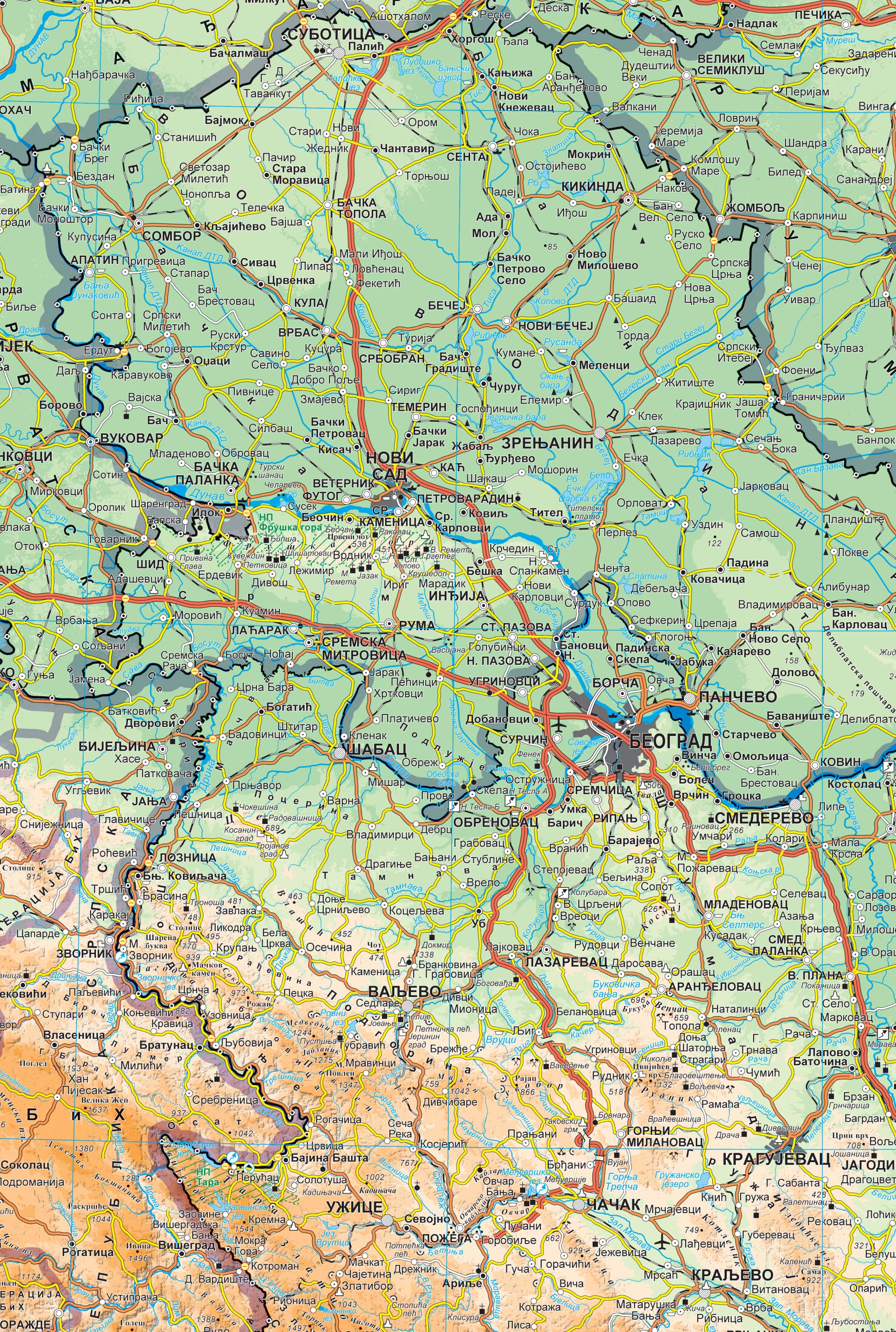
Graphic overview for Geographical map of Serbia at a scale of 1 : 1 000 000
Geographical map of Serbia at a scale of 1 : 1 000 000 Geographical map of Serbia at a scale of 1 : 1 000 000 is a digital geographic map based on … Serbia Sept. 24, 2020 Republic Geodetic Authority otherRestrictions
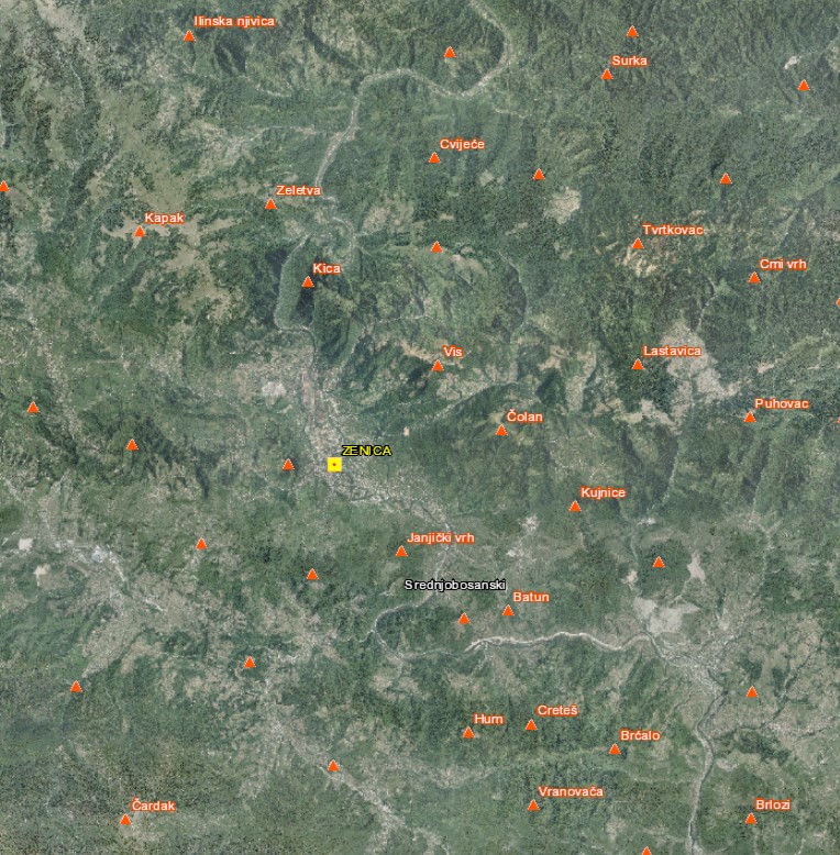
Graphic overview for Geographical names
Geographical names The Register of Geographic Names contains geographical names in the territory of the Federation of Bosnia and Herzegovina from the … Bosnia and Herzegovina None Federal Administration for Geodetic and Property Legal Affairs other Restrictions
🖼️
Geographical names - INSPIRE WFS service Service provides INSPIRE compliant downloadable geographical names data from the Register of geographical names dataset. Serbia Nov. 1, 2020 Republic Geodetic Authority otherRestrictions
🖼️
Geographical names - INSPIRE WMS service Service provides INSPIRE compliant viewable geographical names data from the Register of geographical names dataset. Serbia Nov. 1, 2020 Republic Geodetic Authority otherRestrictions
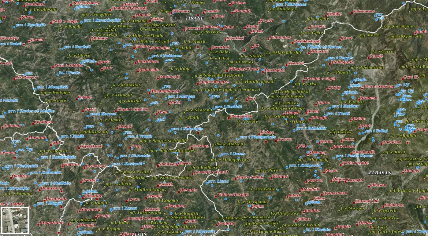
Graphic overview for Geographical Names 2018
Geographical Names 2018 Geographical names consist of three groups of geospatial data. Geographical names of relief (toponymy), hydrography, and villages/cities. Geographical names for … Albania July 23, 2018 State Authority for Geospatial Information copyright
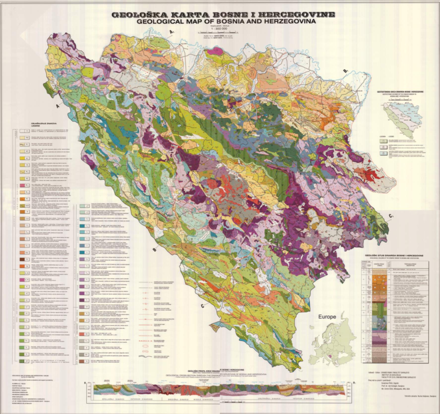
Graphic overview for Geological map of Bosnia and Herzegovina
Geological map of Bosnia and Herzegovina The basic geological map presents a summary of the geological composition and tectonics of the terrain of Bosnia and Herzegovina … Bosnia and Herzegovina None Federal Institute of Geology other Restrictions
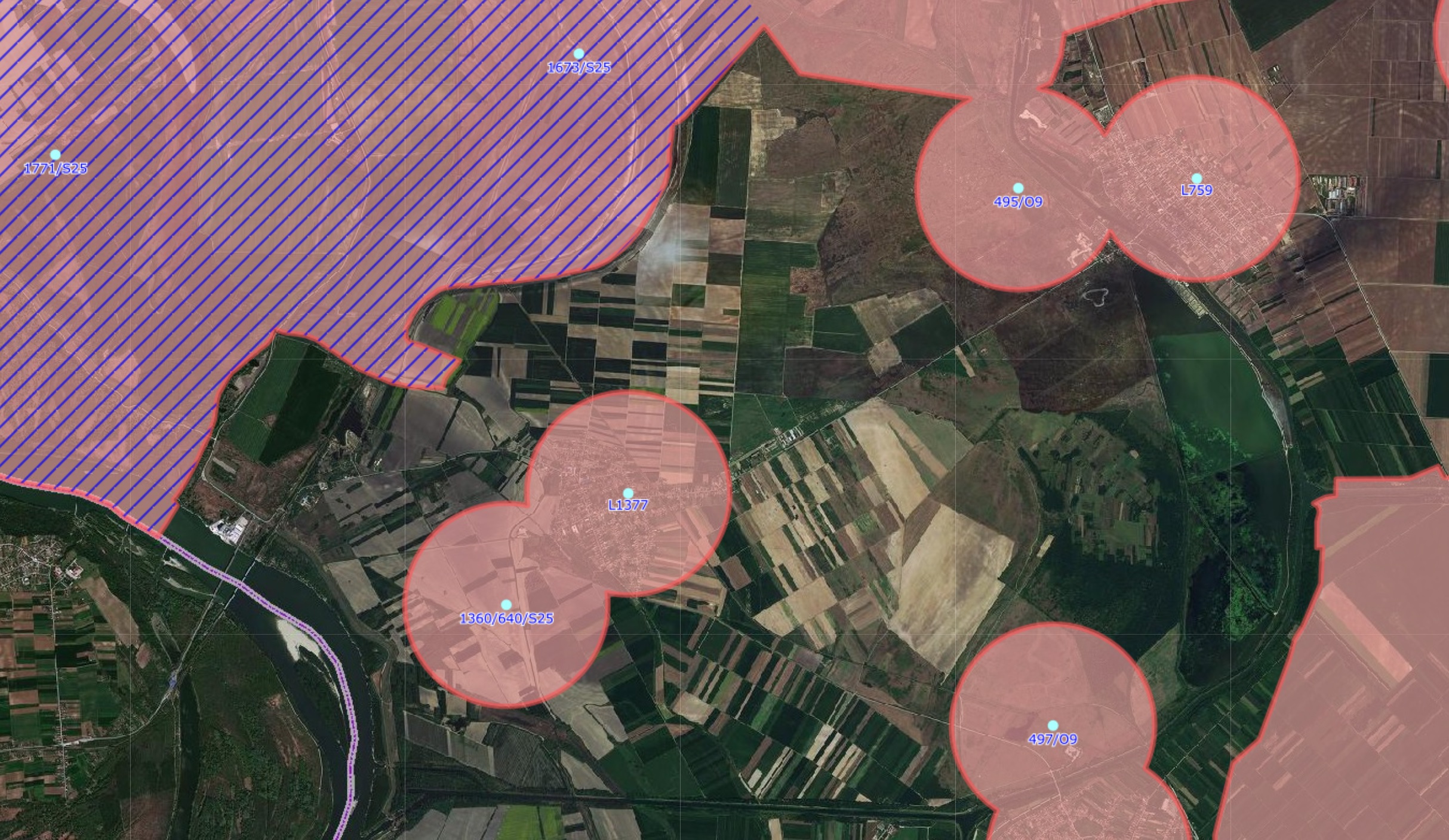
Graphic overview for GNSS controlled areas
GNSS controlled areas 156 / 5.000 Резултати превода Резултат превода Areas where control of the transformation of coordinates from the GK system to … Serbia None Republic Geodetic Authority copyright
Showing 10 of 134 records (filtered)
« first previous Page 8 of 13. next last »