Showing 10 of 10 records (filtered)
Applied filters: Topic Category: boundaries × Keywords: area × INSPIRE Theme: HB: Habitats and Biotopes × Clear all filters
Preview
Title
Abstract
Country
INSPIRE Theme
Publication Date
Responsible Party
Topic Categories
Keywords
Access Constraints
Actions
Graphic overview for Flood areas along category II watercourses in the Bosnian-Podrinje Canton of Goražde
Flood areas along category II watercourses in the Bosnian-Podrinje Canton of Goražde The Cantonal Operational Plan for Flood Protection determines the implementation of active flood protection measures during times of imminent danger … Bosnia and Herzegovina May 30, 2013 Ministry of Economy of the Bosnian-Podrinje Canton Goražde otherRestrictions
Graphic overview for National Parks of the Republic of Macedonia, dataset metadata
National Parks of the Republic of Macedonia, dataset metadata The national parks of the Republic of Macedonia are Mavrovo, Pelister, Galicica and Shar Planina. North Macedonia Jan. 1, 2021 Ministry of Environment and Physical Planning otherRestrictions
Graphic overview for Protected Landscape - Osogovo Mountains, metadata for dataset
Protected Landscape - Osogovo Mountains, metadata for dataset Part of the Osogovo Mountains has been declared a protected area, category V - protected landscape, due to the diversity … North Macedonia Nov. 20, 2020 Ministry of Environment and Physical Planning otherRestrictions
Graphic overview for Protected natural areas of Sarajevo Canton
Protected natural areas of Sarajevo Canton In the Cantonal Public Institution for Protected Natural Areas, the implementation of GIS software began in 2020 when the Gauss … Bosnia and Herzegovina Jan. 1, 2020 Cantonal Public Institution for Protected Natural Areas Sarajevo otherRestrictions
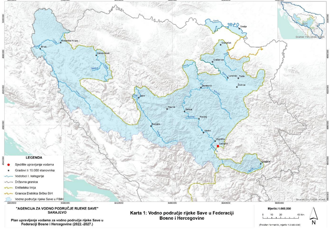
Graphic overview for Sava River Water Area
Sava River Water Area This dataset represents the Sava River basin in the Federation of Bosnia and Herzegovina. Bosnia and Herzegovina Jan. 1, 2008 Sava River Basin Agency otherRestrictions
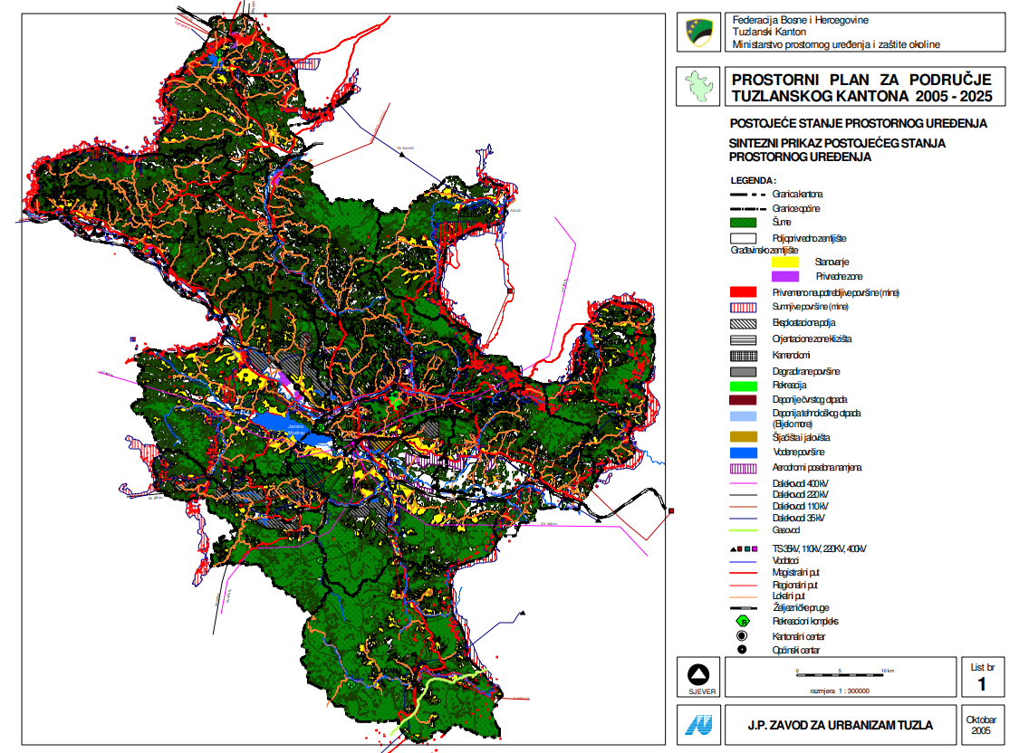
Graphic overview for Spatial plan for the area of Tuzla Canton 2005-2025.
Spatial plan for the area of Tuzla Canton 2005-2025. The Spatial Plan for the Tuzla Canton 2005-2025 is a binding planning document that guides the development of cities/municipalities, i.e. … Bosnia and Herzegovina None Ministry of Physical Planning and Environmental Protection of the Canton of Tuzla otherRestrictions
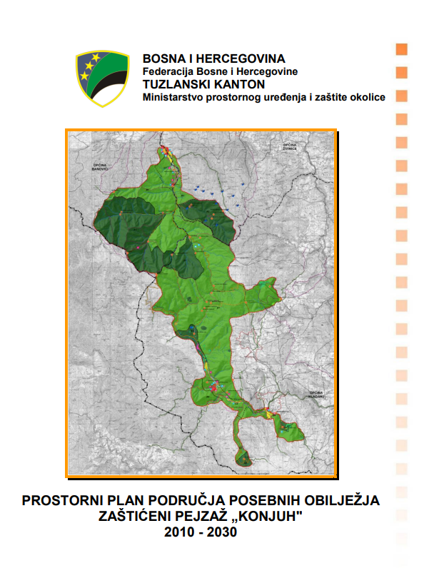
Graphic overview for Spatial plan of the area of special characteristics protected landscape Konjuh for the period 2010-2030.
Spatial plan of the area of special characteristics protected landscape Konjuh for the period 2010-2030. By declaring part of the Konjuh mountain to the category of protected landscape, the preconditions have been created for the … Bosnia and Herzegovina July 17, 2013 Ministry of Physical Planning and Environmental Protection of the Canton of Tuzla otherRestrictions
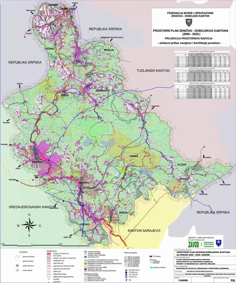
Graphic overview for Spatial Plan of Zenica-Doboj Canton 2009-2029.
Spatial Plan of Zenica-Doboj Canton 2009-2029. The Spatial Plan of the Zenica-Doboj Canton is the first mandatory planning document for the territory of the Canton, which … Bosnia and Herzegovina Feb. 20, 2009 Institute for Urban Planning and Spatial Development of Zenica-Doboj Canton otherRestrictions
Graphic overview for Suspected dangerous surface
Suspected dangerous surface A suspected hazardous area (SOPO) refers to an area where there is reasonable suspicion of contamination, based on indirect evidence … Bosnia and Herzegovina None Mine Action Center in Bosnia and Herzegovina otherRestrictions
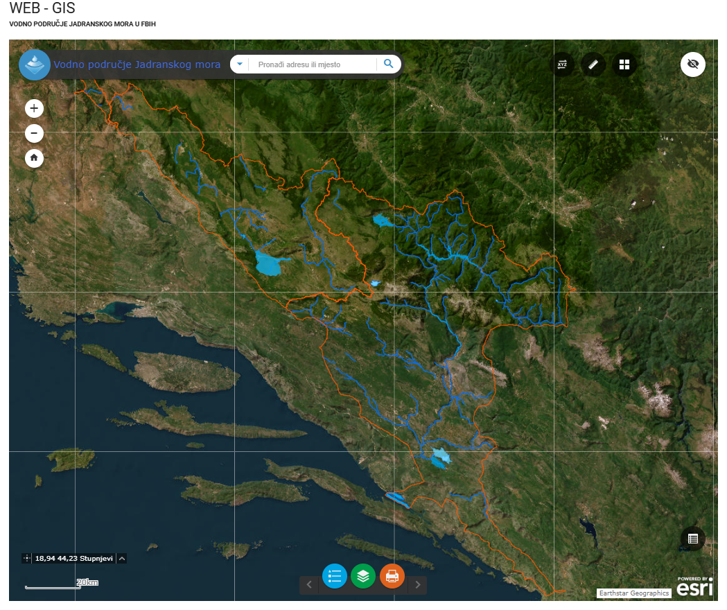
Graphic overview for Water area of the Adriatic Sea
Water area of the Adriatic Sea This dataset represents the Adriatic Sea water area in the Federation of Bosnia and Herzegovina. Bosnia and Herzegovina Jan. 1, 2008 Agency for the Adriatic Sea Water Area otherRestrictions
Showing 10 of 10 records (filtered)